The best road cycling routes around Treschenu-Creyers
4.6
(495)
9,504
riders
78
rides
Road cycling around Treschenu-Creyers offers varied landscapes within the Parc Naturel Régional des Baronnies Provençales. The terrain features a mix of well-maintained roads, challenging passes, and diverse routes through limestone massifs, oak forests, and agricultural fields. Cyclists can expect climbs and descents across a region known for its natural features and cycling infrastructure.
Best road cycling routes around Treschenu-Creyers
- The most popular road cycling route is Die – Along the Drôme River loop from Châtillon-en-Diois, a 21.3 miles (34.3…
Last updated: October 18, 2026
4.5
(19)
518
riders
69.8km
03:32
1,180m
1,180m
Hard road ride. Very good fitness required. Mostly well-paved surfaces and easy to ride.
4.6
(9)
137
riders
31.8km
01:31
410m
410m
Moderate road ride. Good fitness required. Mostly well-paved surfaces and easy to ride.

5.0
(3)
118
riders
42.4km
02:20
900m
900m
Hard road ride. Very good fitness required. Mostly well-paved surfaces and easy to ride.
69
riders
98.1km
05:02
1,770m
1,770m
Hard road ride. Very good fitness required. Mostly well-paved surfaces and easy to ride.
4.9
(16)
233
riders
55.5km
02:47
900m
900m
Moderate road ride. Good fitness required. Mostly well-paved surfaces and easy to ride.
Get access to more routes and recommendations from other explorers.
Already have an account?
Our route recommendations are based on thousands of hikes, rides, and runs completed by other people on komoot.
Start today with a free account
Your next adventure awaits.
Popular around Treschenu-Creyers
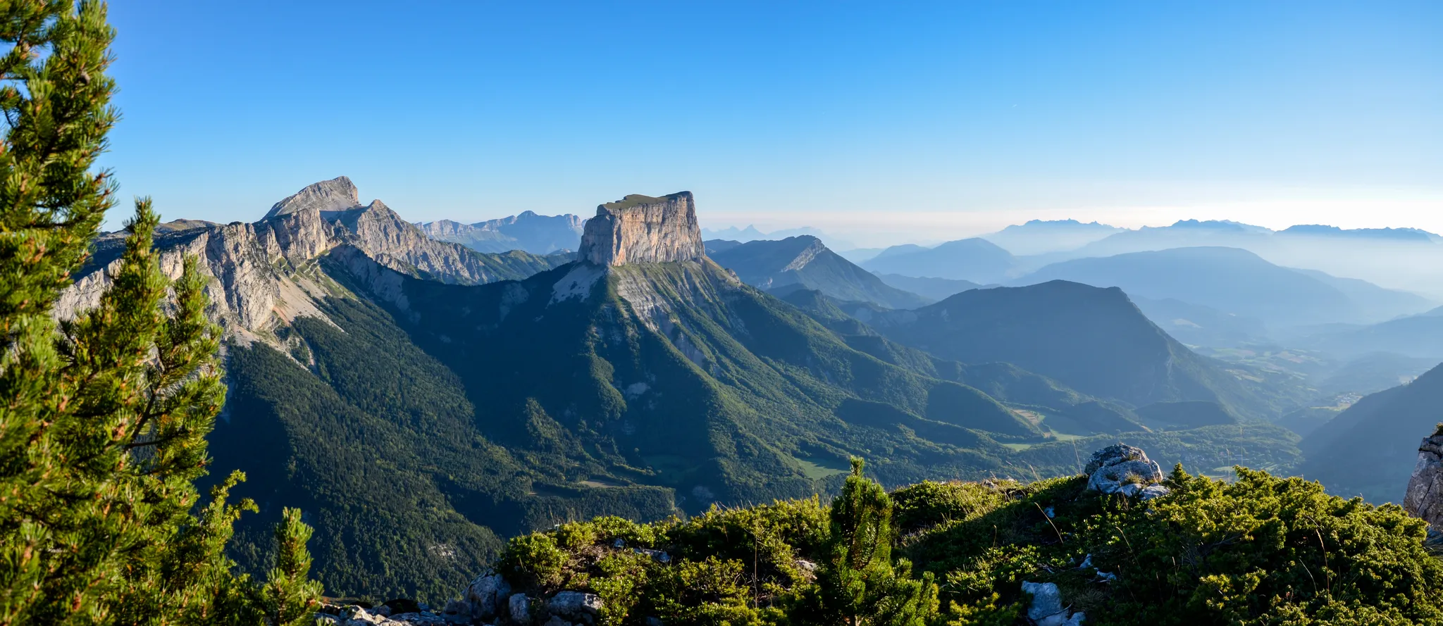
Grand Tour of the Vercors – first section
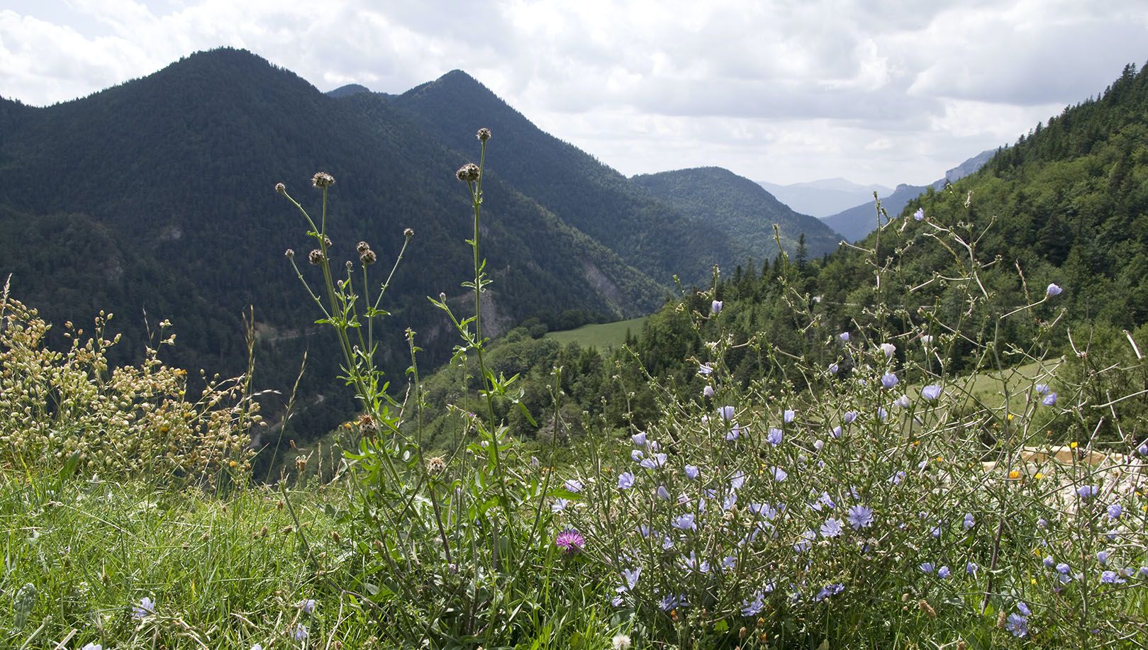
Celebrate the arrival of spring – hike from Savoie to Provence in France

Écrins, Belledonne and Vercors – HexaTrek, Hautes-Alpes
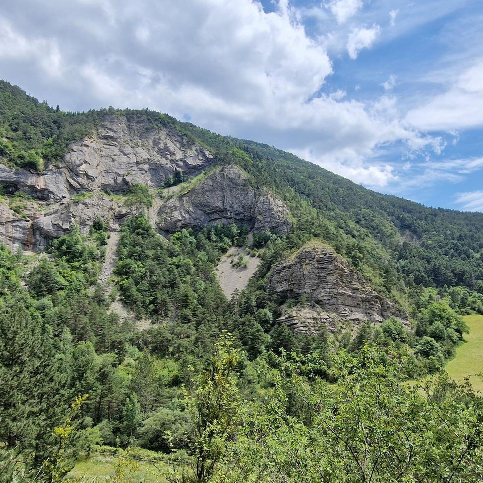
Hiking around Treschenu-Creyers
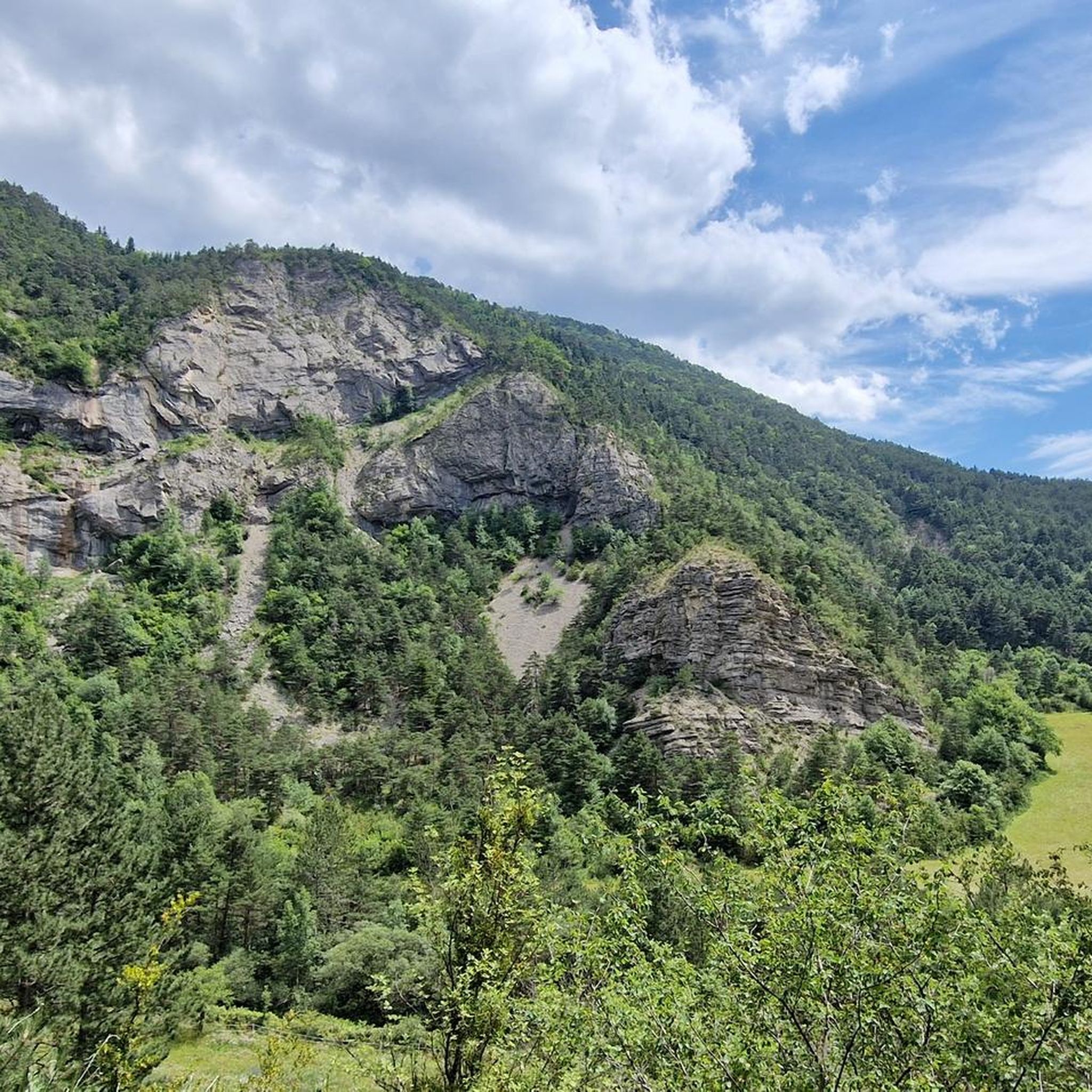
Cycling around Treschenu-Creyers
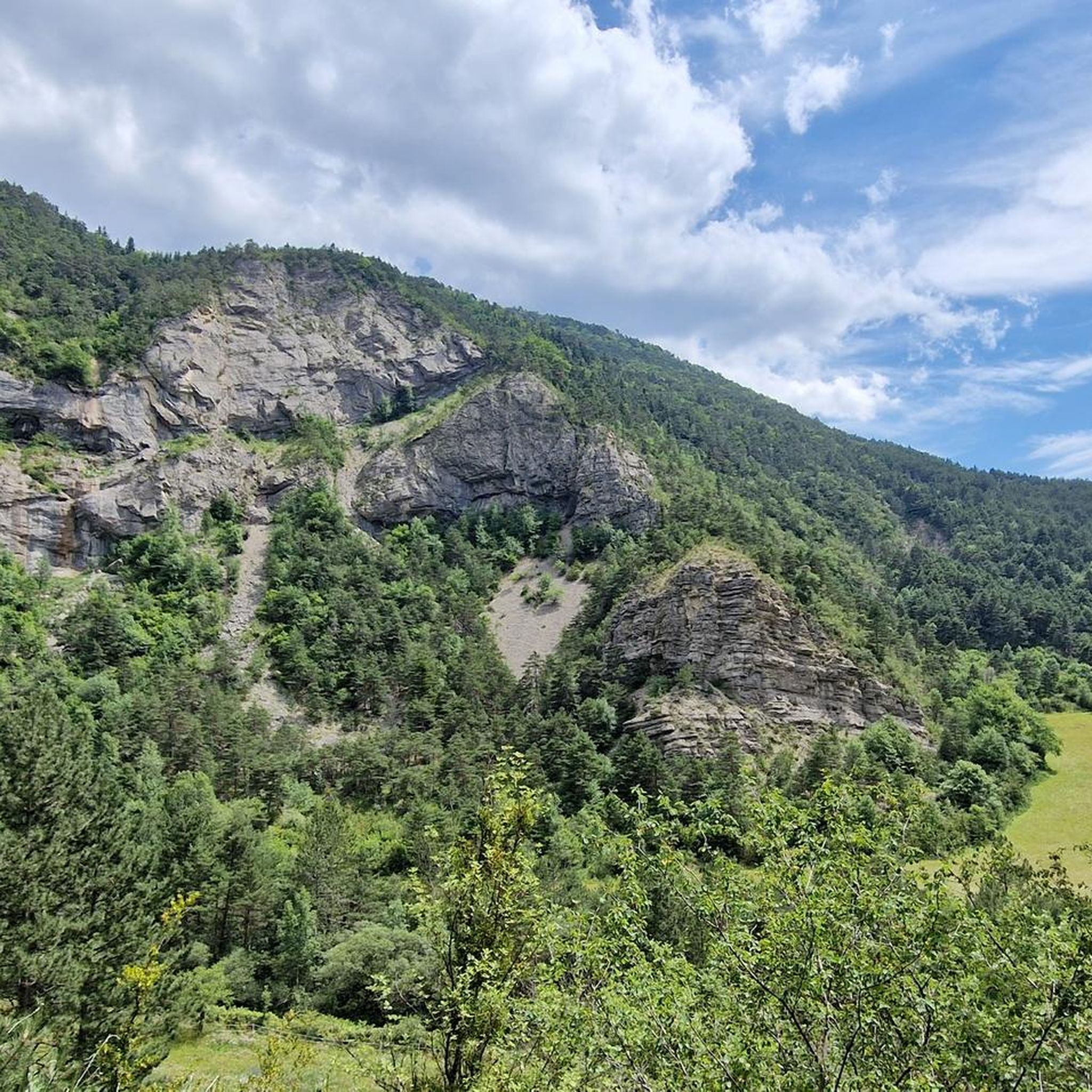
MTB Trails around Treschenu-Creyers
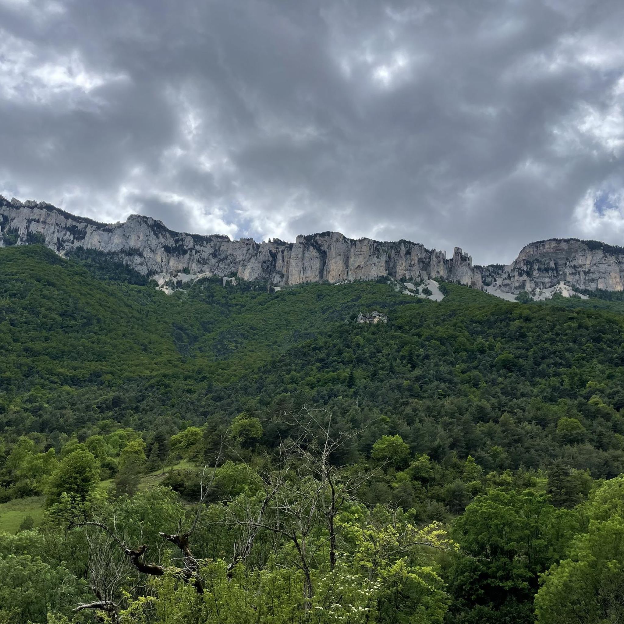
Running Trails around Treschenu-Creyers
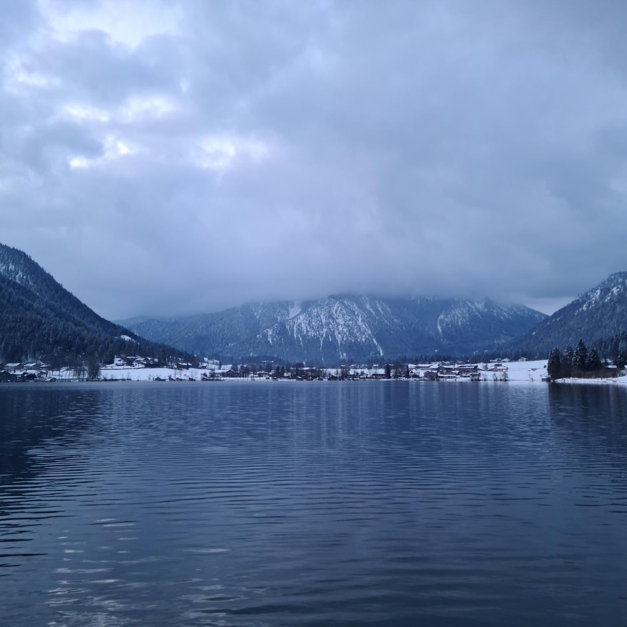
Gravel biking around Treschenu-Creyers
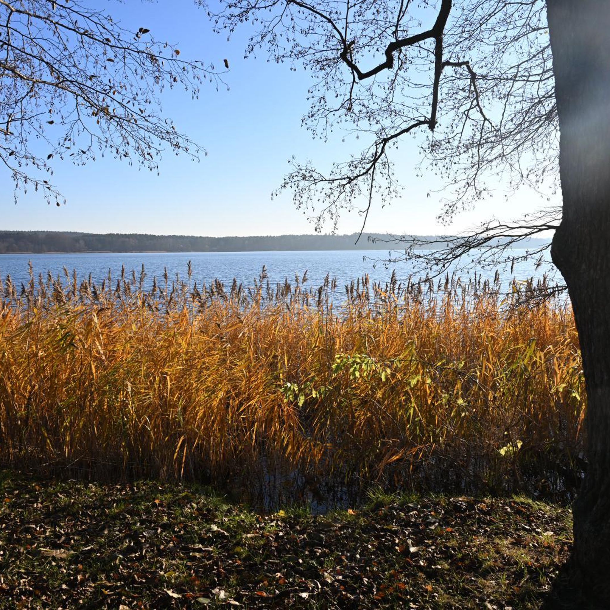
Mountain Hikes around Treschenu-Creyers
Other adventures around Treschenu-Creyers


Tips from the Community

This splendid and quiet secondary road (which retraces part of the Vélodrôme project) runs along the stream, offering spectacular panoramic views of the crystal-clear waters and the surrounding rock faces.
10
0
Picturesquely nestled along the Drôme River and dominated by the spectacular limestone cliffs of the Vercors massif (right at the foot of the Col du Rousset), the historic town of Die is an unmissable stop. Its historic center boasts an ancient charm with architecture dating back to the 12th century. It's the perfect place for a regenerating break among its alleys, artisan shops, and outdoor cafes.
9
0
The Col de Menée (1,457 m) is one of the most fascinating and scenic alpine passes in the Auvergne-Rhône-Alpes region, famous for being a natural and geographical border between the Vercors massif (Trièves) and Diois.
8
0
The Col du Rousset (or Col de Rousset) is one of the most famous and evocative mountain passes in the Vercors Massif, located in the Drôme department, France.
8
0
The Col de Menée (1,402 m) is one of the most fascinating and scenic passes straddling the Drôme and Isère, right on the border of the Vercors Regional Natural Park.
9
0
Col de Menée (1,402 m) is one of the most fascinating and scenic passes straddling the Drôme and Isère, right on the border of the Regional Natural Park of Vercors.
8
0
The Drôme river is the true beating heart of the French department of the same name. Characterized by clear, turquoise waters flowing between the Vercors cliffs and lavender fields, it is one of the rare rivers in Europe without artificial dams, maintaining a wild and natural character.
9
0
Frequently Asked Questions
How many road cycling routes are available around Treschenu-Creyers?
There are over 60 road cycling routes around Treschenu-Creyers, offering a wide range of options for different skill levels. You'll find routes categorized as easy, moderate, and difficult, ensuring there's something for everyone.
What kind of terrain can I expect when road cycling in this region?
The region offers a diverse terrain, from well-maintained roads to challenging passes and sometimes very hilly, steep mountain roads. You'll cycle through varied landscapes including limestone massifs, oak forests, and agricultural fields within the Parc Naturel Régional des Baronnies Provençales.
Are there challenging climbs for experienced road cyclists?
Yes, Treschenu-Creyers and its surroundings are known for numerous challenging climbs and passes (cols). These include iconic ascents like the Reychasset pass, and routes featuring significant elevation gains. For example, the Les Nonières – Col de Menée Tunnel loop from Châtillon-en-Diois is a difficult 42.4 km path with substantial climbing.
What natural features or landmarks can I see along the road cycling routes?
Road cycling routes often wind through breathtaking scenery. You can expect views of the Drôme Valley, limestone massifs, and varied landscapes. Notable natural features and landmarks include the magnificent cliffs of Grand Veymont, the dramatic Gorges des Gâts, and various mountain passes like Col de Rousset and Col de l'Allimas.
Are there any circular road cycling routes in the area?
Yes, many routes are designed as loops, allowing you to start and finish in the same location. An example is the Die – Along the Drôme River loop from Châtillon-en-Diois, which is a popular moderate route.
What is the best time of year to go road cycling around Treschenu-Creyers?
The region benefits from a Mediterranean climate, making spring and autumn ideal for road cycling with pleasant temperatures. Summer can be warm, but the varied terrain offers shaded sections. Winter might be challenging due to higher elevation passes.
Are there options for less experienced cyclists or families?
While the region is known for its challenging climbs, there are also easier routes available. Out of the over 60 routes, 13 are classified as easy, providing gentler gradients and shorter distances suitable for less experienced cyclists or families looking for a relaxed ride.
Where can I find parking for road cycling routes?
Many routes start from towns like Châtillon-en-Diois, where public parking is generally available. It's advisable to check specific route descriptions on komoot for recommended starting points and parking information.
What do other cyclists enjoy most about road cycling in Treschenu-Creyers?
The road cycling routes in Treschenu-Creyers are highly rated by the komoot community, with an average score of 4.6 stars from over 380 reviews. Cyclists often praise the well-maintained roads, the challenging yet rewarding climbs, and the stunning scenic beauty of the Baronnies Provençales Regional Natural Park.
Are there specific mountain passes (cols) that are popular for road cyclists?
Absolutely. The region is dotted with numerous passes that attract cyclists. Popular cols include the Reychasset pass, and routes that traverse passes like Col de Rousset and Col de l'Allimas. These often feature informative signs detailing gradient and distance to the summit.
What makes the Baronnies Provençales region special for road cycling?
The Baronnies Provençales is considered a cyclist's paradise due to its significant investment in cycling infrastructure, including many kilometers of new road surfaces. The blend of challenging climbs, diverse routes through varied landscapes (oak forests, lavender fields), and breathtaking scenery makes it a unique and rewarding destination for road cyclists.
Can I find routes with scenic viewpoints?
Yes, the routes are renowned for their scenic beauty. You'll encounter numerous viewpoints offering panoramic vistas of the Drôme Valley, limestone massifs, and the broader Baronnies Provençales. The Vercors Massif, to the north, also offers dramatic landscapes and 'balcony roads' with stunning views.
Most popular routes around Treschenu-Creyers
Most popular attractions around Treschenu-Creyers

Get inspired with the komoot mobile app


Explore more
Browse the best Road cycling routes in other regions.
