The best walks and hikes around Hettenschlag
4.3
(1834)
10,311
hikers
156
hikes
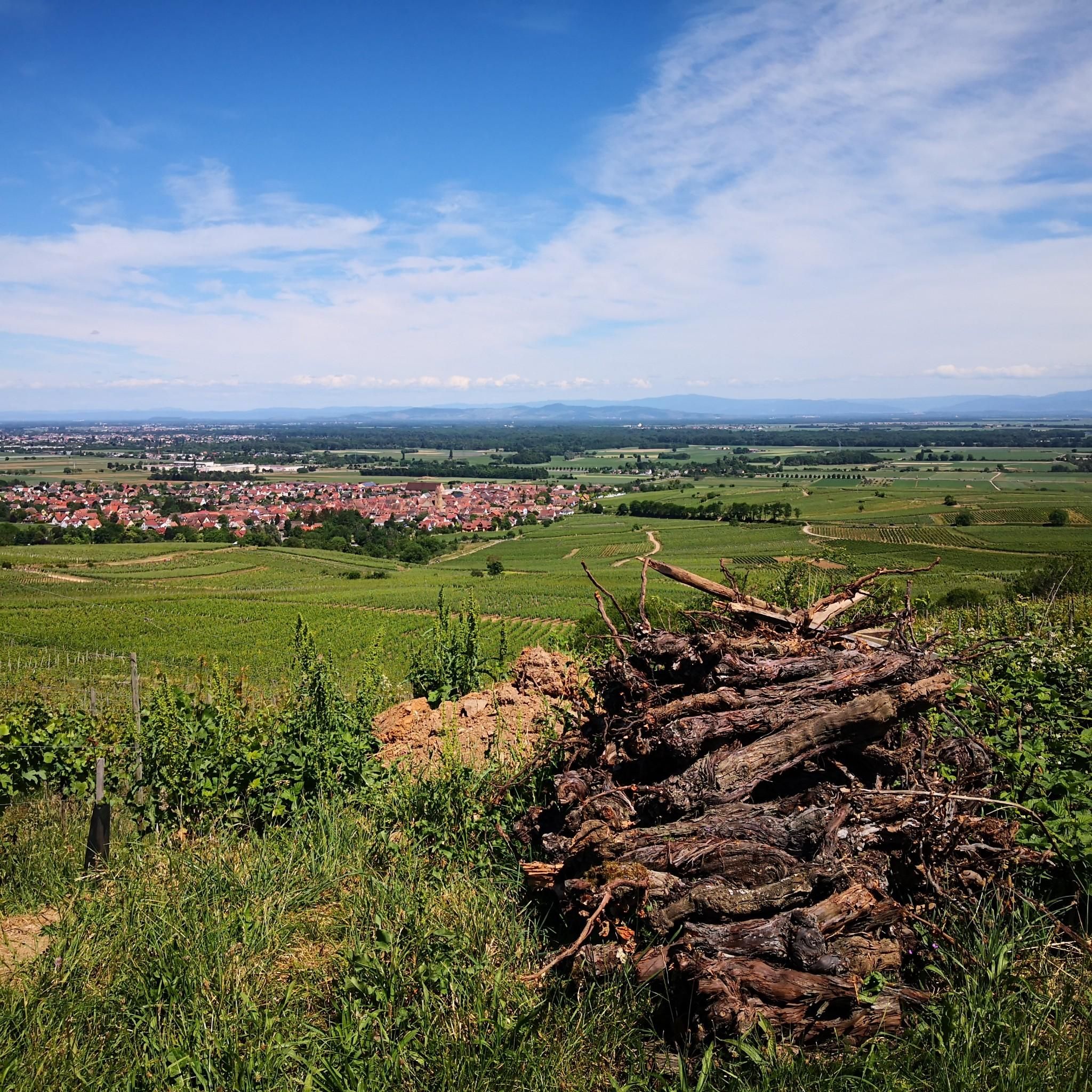
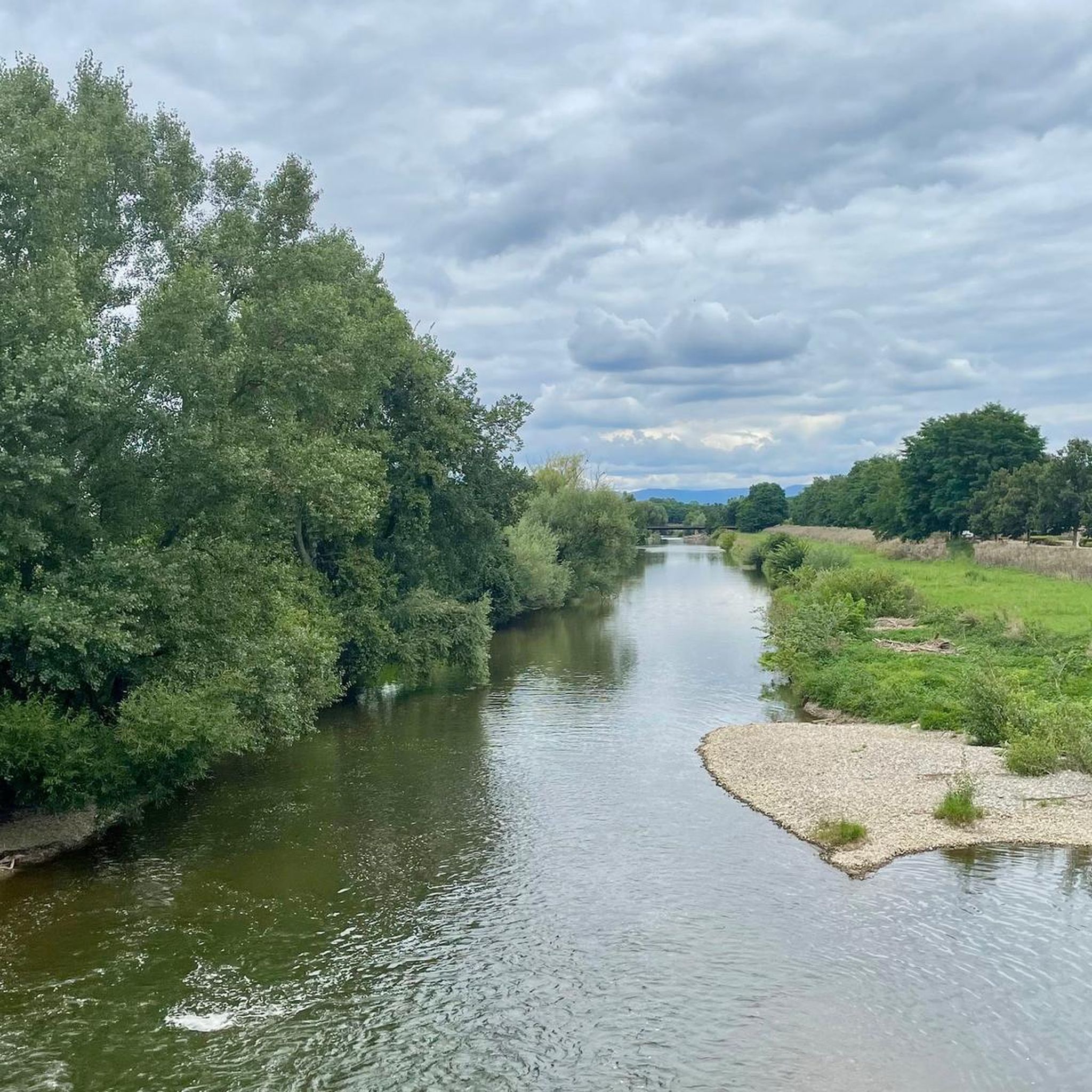
Hiking around Hettenschlag offers a network of trails primarily characterized by flat terrain and proximity to waterways. The region features paths along canal banks and through open landscapes, with minimal elevation changes. These routes provide access to the local environment, including areas around the Neuf-Brisach fortress moat.
Best hiking trails around Hettenschlag
- The most popular hiking route is Sculptures in the moat – Neuf-Brisach Fortress Moat loop from Neuf-Brisach, a 3.2 miles (5.1 km) trail that takes 1 hour…
Last updated: June 25, 2026
4.6
(68)
386
hikers
Easy hike. Great for any fitness level. Easily-accessible paths. Suitable for all skill levels.
5.0
(8)
33
hikers
2.67km
00:41
10m
10m
Easy hike. Great for any fitness level. Easily-accessible paths. Suitable for all skill levels.

Sign up for free
4.0
(4)
14
hikers
9.78km
02:28
10m
10m
Moderate hike. Good fitness required. Easily-accessible paths. Suitable for all skill levels.
5.0
(1)
7
hikers
7.89km
02:00
10m
10m
Easy hike. Great for any fitness level. Easily-accessible paths. Suitable for all skill levels.
4.0
(3)
16
hikers
5.66km
01:26
10m
10m
Easy hike. Great for any fitness level. Easily-accessible paths. Suitable for all skill levels.
Get access to more routes and recommendations from other explorers.
Sign up for free
Already have an account?
Our route recommendations are based on thousands of hikes, rides, and runs completed by other people on komoot.
Start today with a free account
Your next adventure awaits.
Login or Signup

Tips from the Community

A very beautiful floor mosaic from Neuf-Brisach. I wonder if there will still be flowers on it in the summer 🤷♀️. Now in winter there were only stones. Beautifully done, well worth a look.
0
0

Neuff Brisach, there are these "straw figures" in the castle moat 😁
0
0

Overview map of Neuf-Brisach, illustrating the town organized in a grid of 48 blocks.
6
0
Walkable fortress moat, which has been decorated with several sculptures and works of art.
6
0
One of the central streets leading from the Colmar Gate to the Place d'Armes.
5
0
The city is organized in a grid of 48 blocks. The Place d'Armes, located in the center, served as a training and parade ground for the military. The most important military buildings still stand today. The fountain served as a water reservoir in case of fire and as a watering place for horses. The four fountains at the four corners of the square supplied the inhabitants with drinking water.
6
0
Connecting tunnels for rapid troop movements within the fortifications.
8
0
Steel sculpture in the shape of a seahorse.
5
0
Frequently Asked Questions
How many hiking trails are available in Hettenschlag?
Hettenschlag offers a wide selection of hiking opportunities, with over 150 trails available. The majority of these, around 120, are classified as easy, making the area suitable for various fitness levels.
What is the terrain like for hiking around Hettenschlag?
The terrain around Hettenschlag is predominantly flat, characterized by paths along canal banks and through open landscapes. You'll find minimal elevation changes, making it ideal for relaxed walks.
Are there many easy hiking trails in Hettenschlag?
Yes, Hettenschlag is well-suited for easy hiking. Out of the 159 available routes, 120 are classified as easy, featuring gentle gradients and well-maintained paths. An example is the Sculptures in the moat – Colmar Gate loop from Neuf-Brisach, which is a short and easy 1.7-mile (2.7 km) path.
Are the hiking trails around Hettenschlag suitable for families with children?
Absolutely. Given the flat terrain and numerous easy routes, Hettenschlag is very family-friendly. Many trails are suitable for children, and some, like the Grotto of Lourdes – Tree and animal trail loop from Widensolen, offer engaging elements for younger hikers.
Are there any circular hiking routes in Hettenschlag?
Yes, many of the trails around Hettenschlag are circular, allowing you to start and end at the same point. A popular option is the Sculptures in the moat – Neuf-Brisach Fortress Moat loop from Neuf-Brisach, which is 3.2 miles (5.1 km) long.
Can I hike with my dog in Hettenschlag?
Most trails in the Hettenschlag area are dog-friendly, offering open spaces and canal paths for walks. It's generally recommended to keep dogs on a leash, especially near wildlife or in agricultural areas, and to clean up after them.
Are there any scenic viewpoints or interesting landmarks along the trails?
Yes, the region offers several points of interest. You can find trails that provide a View of Breisach Minster, or explore the historic town of Breisach on the Rhine. The Eguisheim Village is also a notable nearby attraction.
Are there hikes along waterways or canals?
Yes, hiking along waterways is a defining characteristic of the Hettenschlag area. Many routes follow the banks of canals, offering peaceful walks with views of the water. The Rhine-Rhone Canal – Canal Path loop from Neuf-Brisach is a prime example, leading through canal-side landscapes.
What are the typical lengths and elevations of hikes in Hettenschlag?
Hikes in Hettenschlag generally range from short, easy strolls to moderate walks. Distances often vary from 1.5 to 6 miles (2.5 to 10 km). Elevation gains are minimal, typically less than 50 feet (15 meters) per route, reflecting the flat nature of the region.
What do other hikers enjoy the most about hiking in Hettenschlag?
The area is highly rated by the komoot community, with an average score of 4.4 stars from over 1,400 reviews. Hikers often praise the peaceful canal paths, the flat and accessible terrain, and the historical context provided by the nearby Neuf-Brisach fortress moat.
Are there any hikes that explore the historic Neuf-Brisach fortress?
Yes, several routes allow you to explore the area around the historic Neuf-Brisach fortress. The Colmar Gate – Sculptures in the moat loop from Neuf-Brisach is a moderate 6.2-mile (9.9 km) trail that takes you around the fortress moat, offering views of its unique architecture.
Most popular routes around Hettenschlag
Most popular attractions around Hettenschlag

Get inspired with the komoot mobile app


Explore more
Browse the best Hikes in other regions.
