The best walks and hikes around Le Doulieu
4.6
(674)
3,601
hikers
347
hikes
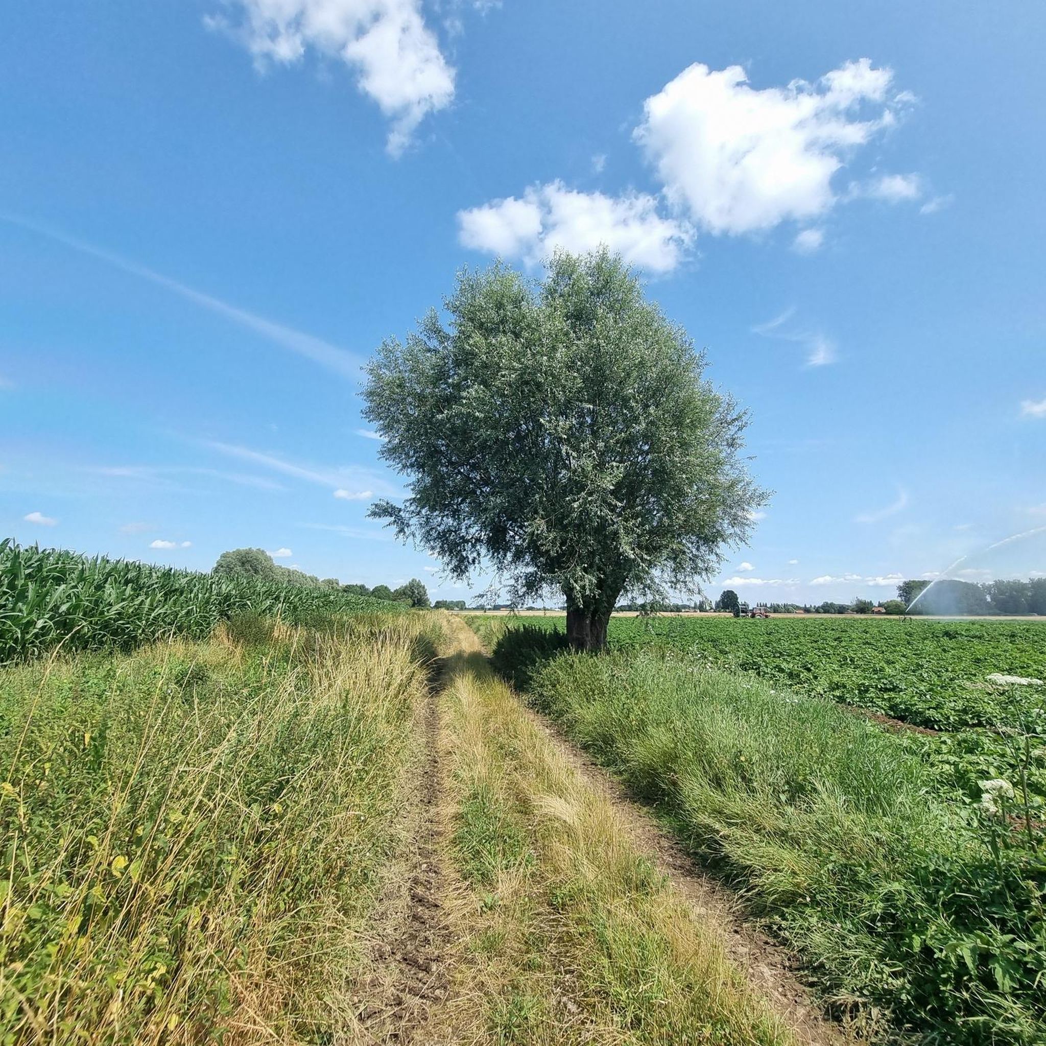
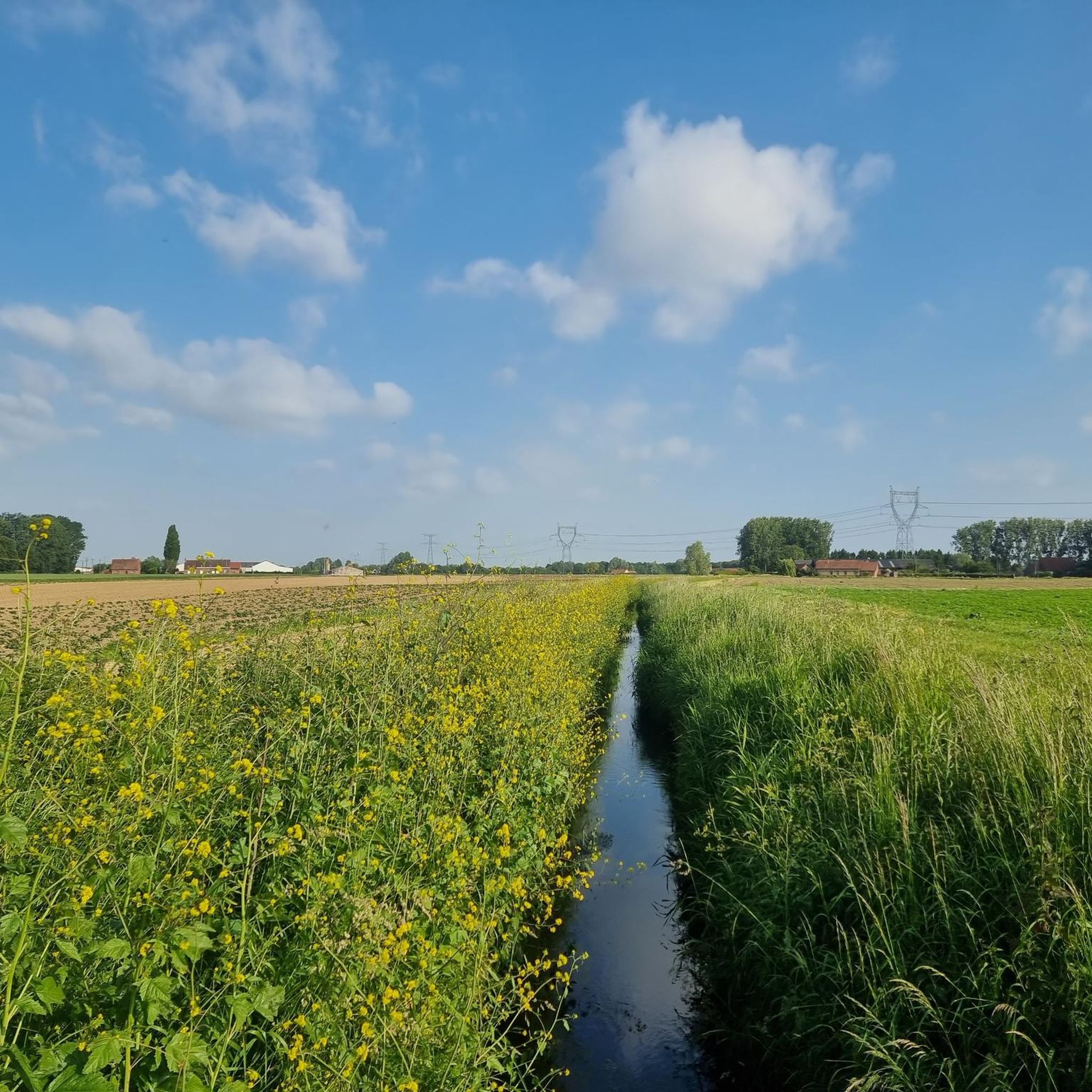
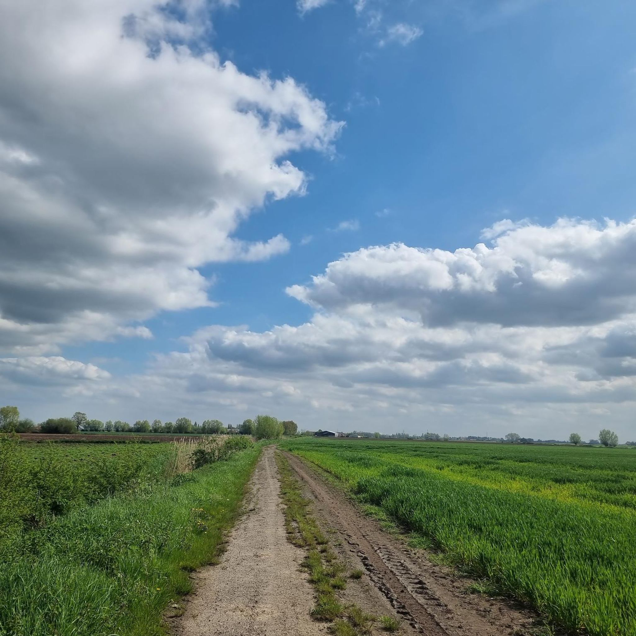
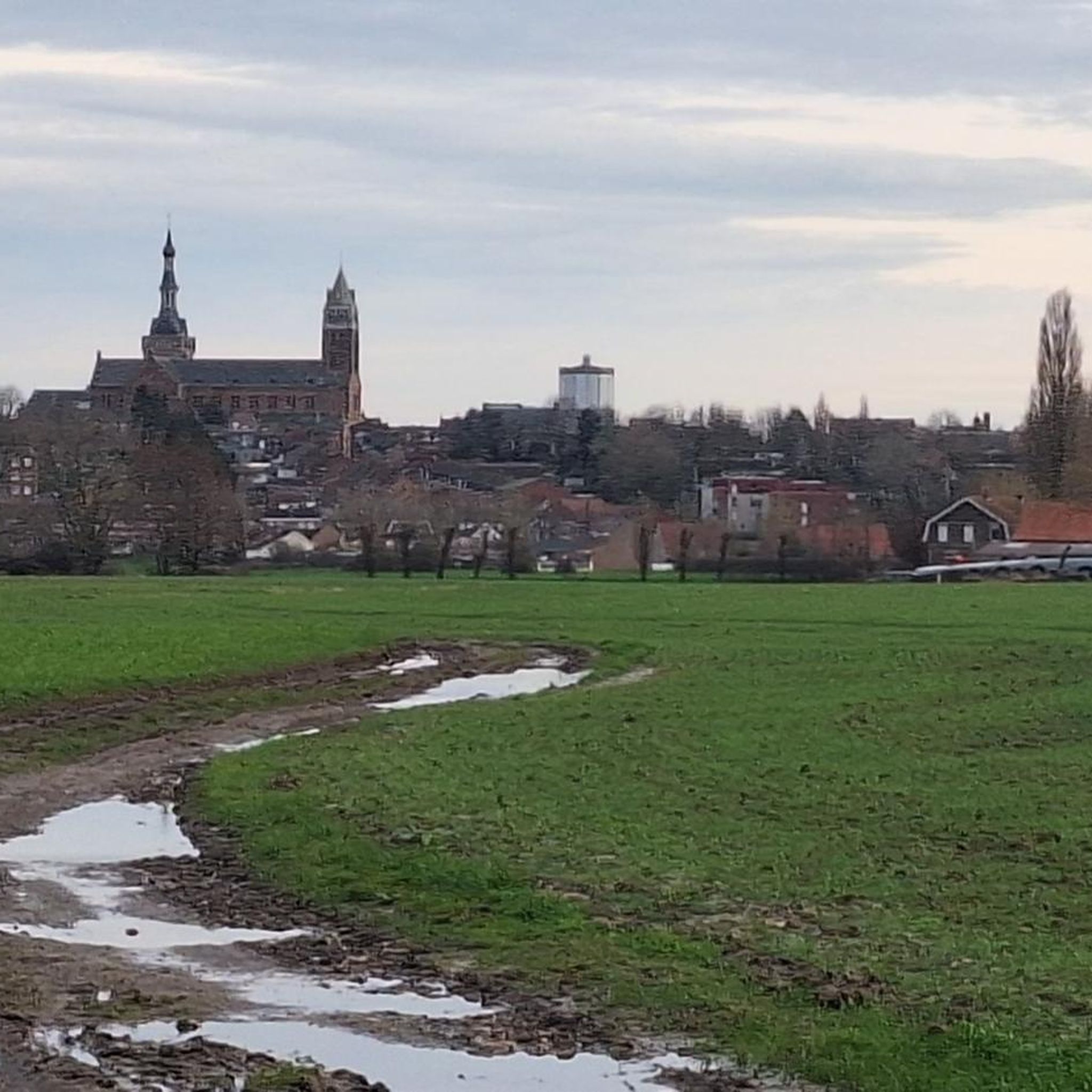
Hiking around Le Doulieu offers routes through the rural landscapes of Northern France, characterized by gentle terrain and agricultural areas. The region features riverine paths along waterways such as the Lawe and Lys rivers. While not mountainous, some routes provide subtle elevation changes and distant views. The network of trails provides access to the local countryside and villages, including areas near the Hills of Artois.
Best hiking trails around Le Doulieu
- The most popular hiking route is Mountain views –…
Last updated: July 2, 2026
4
hikers
6.87km
01:46
40m
40m
Easy hike. Great for any fitness level. Easily-accessible paths. Suitable for all skill levels.
5.0
(2)
7
hikers
Moderate hike. Good fitness required. Easily-accessible paths. Suitable for all skill levels.

Sign up for free
3.0
(1)
5
hikers
5.07km
01:16
0m
0m
Easy hike. Great for any fitness level. Easily-accessible paths. Suitable for all skill levels.
5
hikers
6.92km
01:44
0m
0m
Easy hike. Great for any fitness level. Easily-accessible paths. Suitable for all skill levels.
14
hikers
11.5km
02:54
10m
10m
Moderate hike. Good fitness required. Easily-accessible paths. Suitable for all skill levels.
Get access to more routes and recommendations from other explorers.
Sign up for free
Already have an account?
Our route recommendations are based on thousands of hikes, rides, and runs completed by other people on komoot.
Start today with a free account
Your next adventure awaits.
Login or Signup

Tips from the Community


This museum traces the world of bees and honey through an educational collection. A tea room offers local delicacies to savor after the visit. Labeled Accueil Vélo, it offers a gourmet and educational break.
0
0

well laid out but watch out for dog droppings😏😏
0
0

take the tour to see its architecture
1
0
and blooms well in spring
0
0
Frequently Asked Questions
How many hiking trails are available around Le Doulieu?
Le Doulieu and its surrounding area offer a wide selection of hiking opportunities, with over 330 routes available. These range from easy strolls to more moderate excursions, catering to various fitness levels.
Are there easy hiking trails suitable for beginners in Le Doulieu?
Yes, Le Doulieu is an excellent area for beginners. The region features gentle terrain and numerous paths through rural landscapes. There are over 180 easy routes, such as the Office du tourisme Steenwerck loop from Steenwerck, which is just 2.9 miles (4.7 km) long and takes about 1 hour 10 minutes.
Are the hiking trails around Le Doulieu suitable for families with children?
Many trails in Le Doulieu are well-suited for families due to the region's generally flat and gentle terrain. Look for the numerous easy-rated routes, which often follow riverine paths or agricultural tracks, providing a pleasant experience for all ages. The Beautiful hiking trail – Steenwerck loop from Steenwerck is an easy 4.56 miles (7.3 km) option that families might enjoy.
Can I bring my dog on the hiking trails in Le Doulieu?
Generally, dogs are welcome on hiking trails in the Le Doulieu area, especially on rural paths and towpaths. However, it's always advisable to keep them on a leash, particularly when passing through agricultural areas or near livestock, and to check for any specific local regulations or signage.
What kind of landscapes can I expect to see while hiking in Le Doulieu?
Hiking in Le Doulieu is characterized by rural landscapes, often featuring riverine paths along waterways like the Lys, and agricultural fields. While not mountainous, some routes offer subtle elevation changes and distant views, providing a tranquil experience of the Northern French countryside.
Are there many circular hiking routes in Le Doulieu?
Yes, many of the hiking routes in Le Doulieu are designed as circular paths, offering convenient starting and ending points. Examples include the popular Mountain views – Saint Lawrence Church loop from Merris and the Saint-Vaast Church – Lys Towpath loop from Sailly-sur-la-Lys.
What is the best time of year for hiking in Le Doulieu?
The best time for hiking in Le Doulieu is typically from spring to autumn (April to October), when the weather is mild and the countryside is in full bloom or displaying autumn colors. Winter hiking is also possible, but paths may be muddy, and daylight hours are shorter.
What do other hikers enjoy most about hiking in Le Doulieu?
The hiking routes in Le Doulieu are highly rated by the komoot community, with an average score of 4.6 stars from over 600 reviews. Hikers often praise the peaceful rural settings, the well-maintained paths, and the opportunity to explore the local countryside and charming villages.
Are there any interesting landmarks or attractions near the hiking trails?
Yes, the area around Le Doulieu offers several points of interest. You can explore sites like Mont Noir (West), the tranquil Marguerite Yourcenar Departmental Park, or historical sites such as the Australian Memorial Park Fromelles and the Mont Noir Military Cemetery.
How long do hikes around Le Doulieu typically take?
Hikes around Le Doulieu vary in length and duration. Many popular routes, such as the Mountain views – Saint Lawrence Church loop from Merris (6.35 miles / 10.2 km), can take around 2 hours 30 minutes. Shorter, easy trails might be completed in just over an hour, while longer routes could take half a day.
Is public transport available to reach hiking trailheads in Le Doulieu?
While Le Doulieu is a rural area, some villages and towns that serve as starting points for hikes may have limited public transport connections. It's recommended to check local bus schedules or consider driving, as many trailheads are more easily accessible by car.
Are there parking facilities available near the trailheads in Le Doulieu?
In most rural areas around Le Doulieu, you can typically find parking in village centers or designated areas near popular trailheads. It's advisable to check specific route descriptions on komoot for details on parking availability at the start of your chosen hike.
Most popular routes around Le Doulieu
Most popular attractions around Le Doulieu

Get inspired with the komoot mobile app


Explore more
Browse the best Hikes in other regions.
