The best walks and hikes around Establet
4.0
(156)
660
hikers
47
hikes
Hiking around Establet offers routes through varied terrain, characterized by passes, gorges, and rural village landscapes. The region features moderate elevation changes, with trails often leading through natural formations and past small settlements. The landscape provides a mix of open views and more enclosed sections, suitable for different hiking preferences.
Best hiking trails around Establet
- The most popular hiking route is Pass of the Waves loop from La Motte-Chalancon, a 6.8 miles (11.0 km) trail that takes 3 hours…
Last updated: August 18, 2026
3.7
(11)
50
hikers
11.0km
03:31
460m
460m
Moderate hike. Good fitness required. Easily-accessible paths. Suitable for all skill levels.
32
hikers
20.1km
06:55
1,060m
1,060m
Hard hike. Very good fitness required. Easily-accessible paths. Suitable for all skill levels.

Sign up for free
4.8
(4)
13
hikers
7.38km
02:29
360m
360m
Moderate hike. Good fitness required. Easily-accessible paths. Suitable for all skill levels.
2.0
(1)
7
hikers
13.6km
04:24
580m
580m
Moderate hike. Good fitness required. Easily-accessible paths. Suitable for all skill levels.
2.0
(1)
7
hikers
14.1km
04:33
590m
590m
Moderate hike. Good fitness required. Easily-accessible paths. Suitable for all skill levels.
Get access to more routes and recommendations from other explorers.
Sign up for free
Already have an account?
Our route recommendations are based on thousands of hikes, rides, and runs completed by other people on komoot.
Start today with a free account
Your next adventure awaits.
Login or Signup
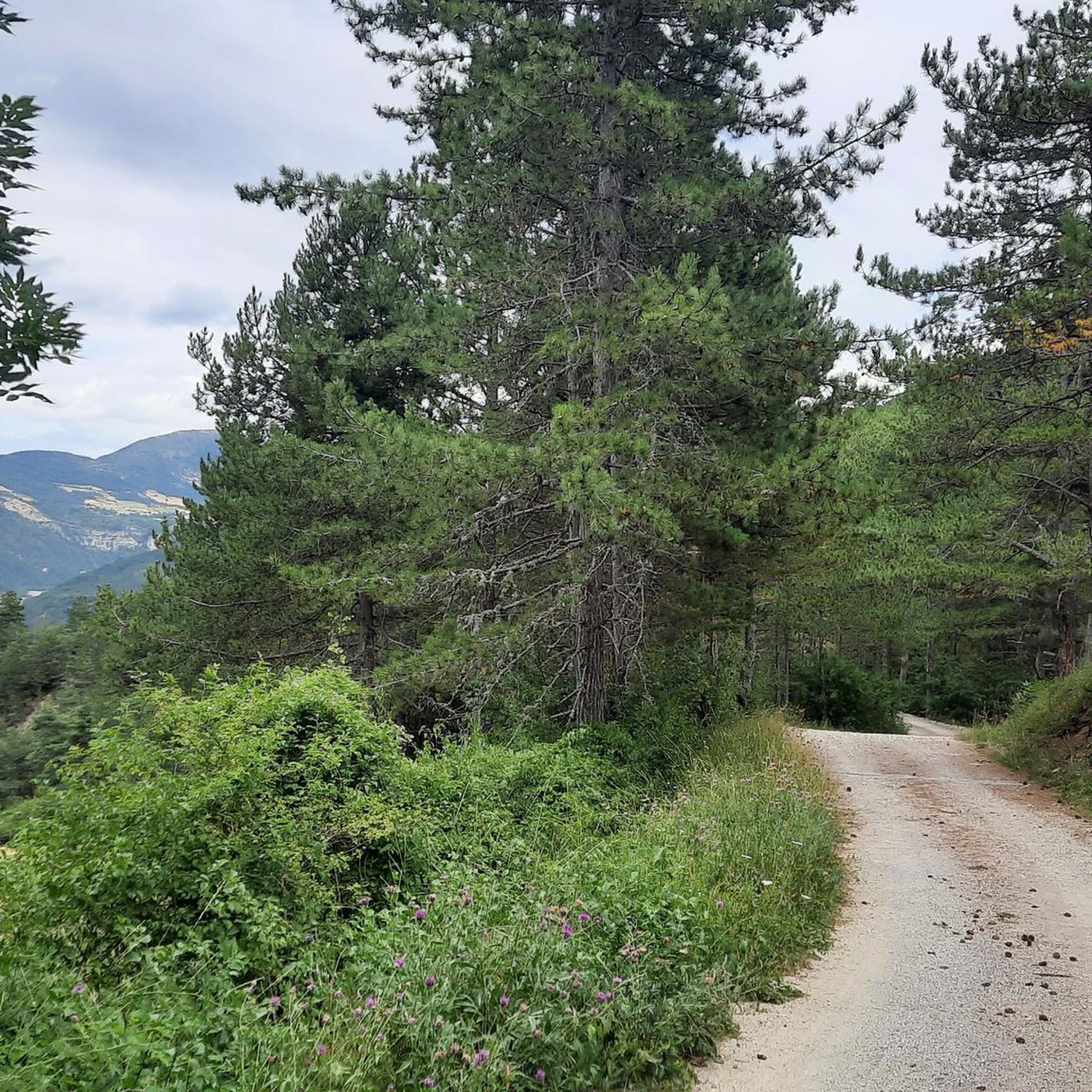
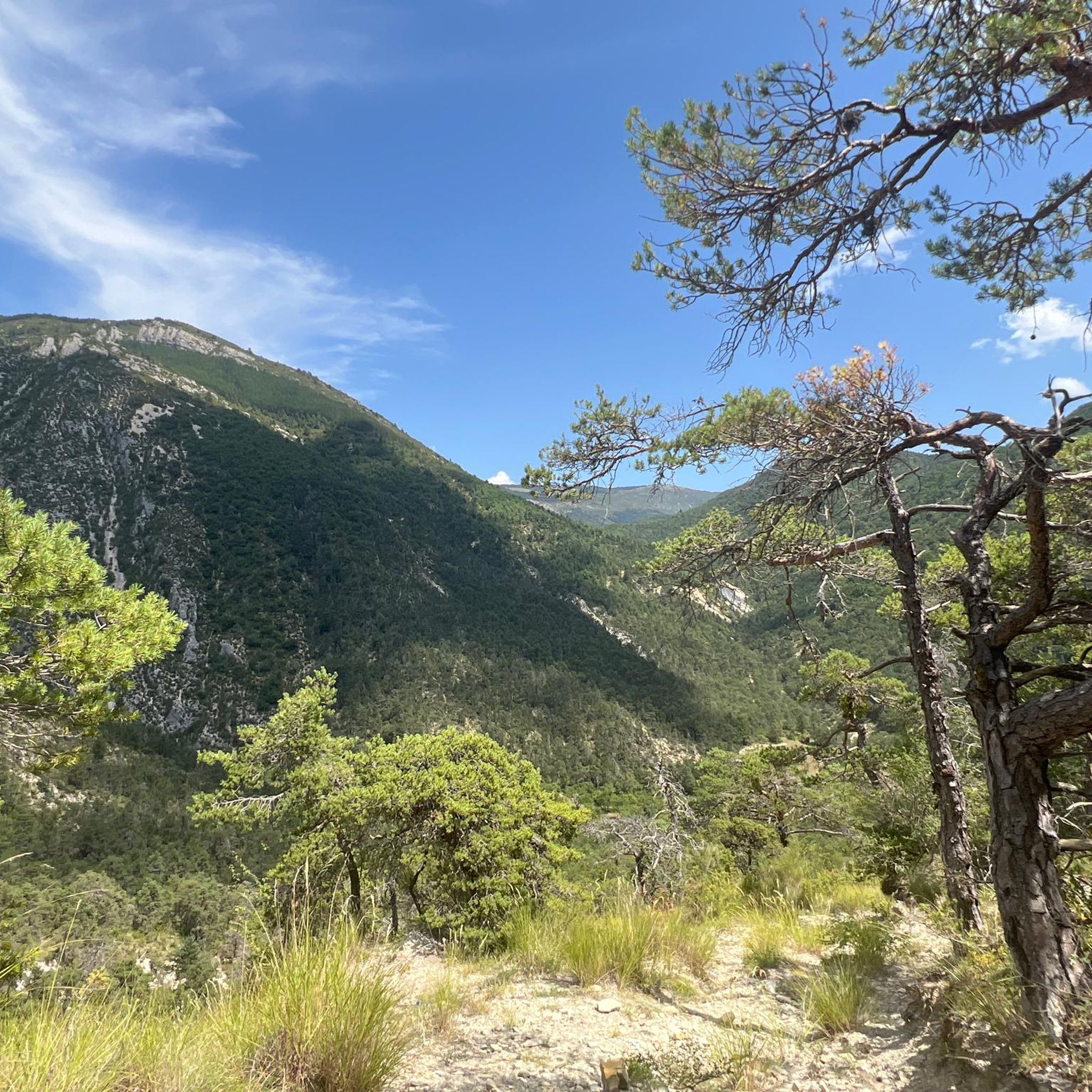
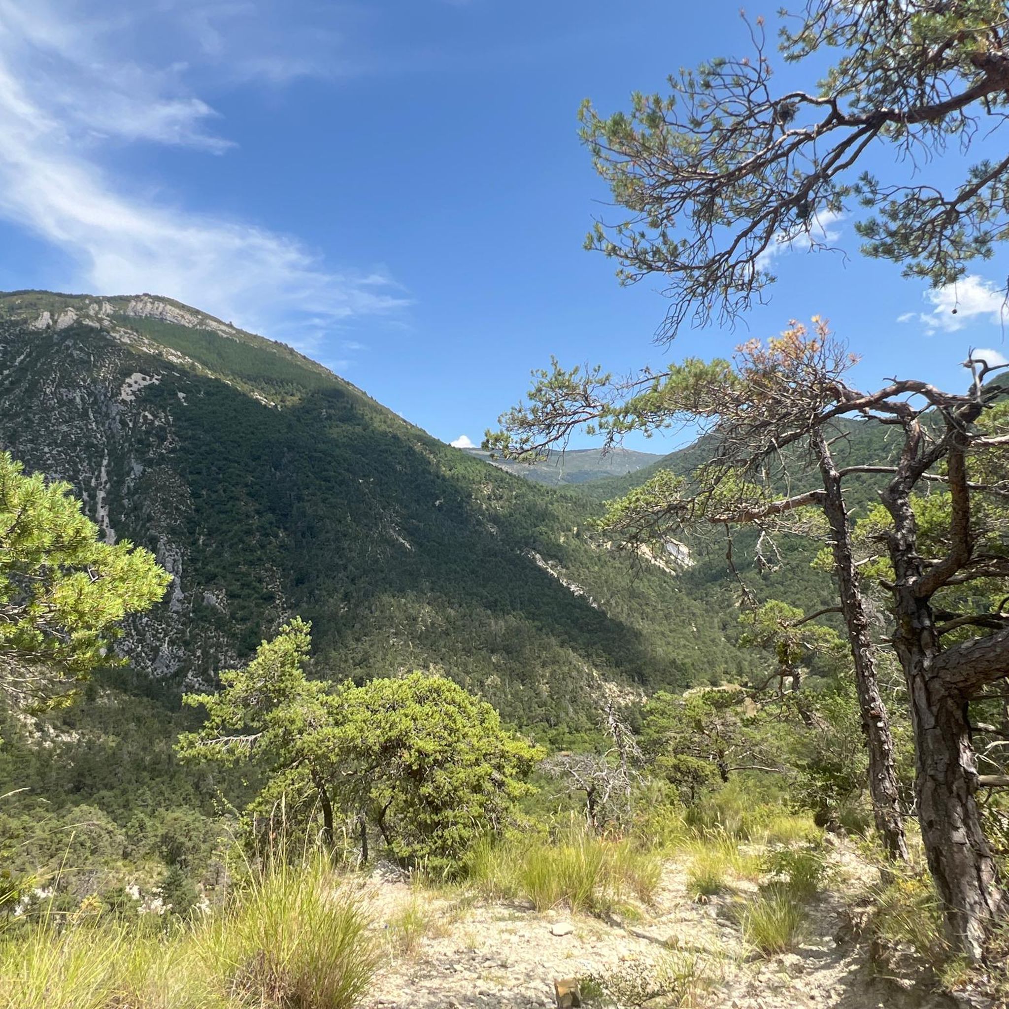
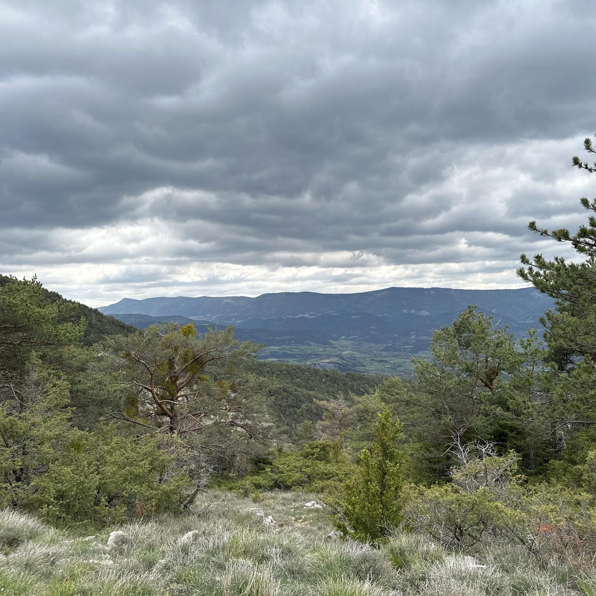
Tips from the Community

The ascent to Col de la Fromagère / Col de Pommerol from Rosans is located in the Hautes-Alpes region. This ascent is 6.6 km long, with a total elevation gain of 371 m. The average gradient of the ascent to Col de la Fromagère / Col de Pommerol from Rosans is 5.6%.
6
0
The ascent to Col de la Fromagère / Col de Pommerol from Rosans is located in the Hautes-Alpes region. This ascent is 6.6 km long, with a total elevation gain of 371 m. The average gradient of the ascent to Col de la Fromagère / Col de Pommerol from Rosans is 5.6%.
5
0
Village surrounded by the Alps.
5
0

The Col de la Fromagère turns into the Col de Pommerol when you reach the summit. The climb is nevertheless magnificent on a small mountain road, with good percentages sometimes approaching 12%
1
0

Gorges de Pommerol, in the Oule valley north of the Baronnies, between the small villages of Charce and Rosans. The gorges, dug by the Pommerol stream, are made up of large cliffs and scree stone arches. Spectacular.
3
0

Nice place on the Oule. A few bars, several campsites. Beautiful church. There is also a nice little bike-friendly hotel on the corner.
7
0

Remarkable site between the limestone cliffs
0
0
The Pas de l'âne marks the limit of 2 geological strata of the Cretaceous, the Hauterivien and the Valanginien. Global stratotype at this precise location of observation, alternating marl and limestone. Lots of ammonites :)
1
0
Frequently Asked Questions
How many hiking trails are available in Establet?
Establet offers a diverse network of over 45 hiking routes. These trails vary in difficulty, catering to different experience levels, from easy strolls to more challenging ascents.
Are there easy hiking trails suitable for beginners in Establet?
Yes, Establet has several easy hiking trails. There are 7 routes specifically categorized as easy, providing gentle paths through the region's scenic landscapes. These are perfect for a relaxed outing.
What is the typical length and duration of hikes in Establet?
Hikes in Establet vary in length and duration. For example, a moderate route like the Village of Pommerol loop from Pommerol is about 4.6 miles (7.4 km) and takes around 2 hours 30 minutes. Longer, more challenging routes can extend up to 8.9 miles (14.3 km) and take over 5 hours, such as the Hiking loop from La Motte-Chalancon.
Are there challenging hikes for experienced hikers in Establet?
Absolutely. For those seeking a challenge, Establet features 8 difficult routes. These trails often involve greater elevation changes and longer distances, such as the Hiking loop from La Motte-Chalancon, which covers 8.9 miles (14.3 km) with significant ascent.
Does Establet offer circular hiking routes?
Many of the hiking trails in Establet are designed as circular routes, allowing you to start and end at the same point. Examples include the Pass of the Waves loop from La Motte-Chalancon and the Pommerol Gorges – View of Pommerol loop from Pommerol.
Are there any interesting natural attractions or landmarks along the hiking trails?
Yes, Establet's hiking trails often lead past notable natural features. You can explore highlights like the Saut de la Drôme and the Claps, a unique river and rock formation (Saut de la Drôme and the Claps), or the dramatic Gorges de l'Arayon (Gorges de l'Arayon). The region also features the Montagne de Raton summit (Montagne de Raton) for panoramic views.
What do other hikers enjoy most about hiking in Establet?
The hiking experience in Establet is highly rated by the komoot community, with an average score of 4.1 stars from over 120 reviews. Hikers often praise the varied topography, including passes and gorges, and the blend of natural and rural village landscapes.
Are there any opportunities for wild swimming near Establet's hiking trails?
The region features natural water bodies that might offer opportunities for wild swimming. The Saut de la Drôme and the Claps (Saut de la Drôme and the Claps) is a notable river highlight that could be explored for such activities, though specific swimming conditions should always be checked locally.
Are dogs allowed on hiking trails in Establet?
While specific regulations can vary, generally, dogs are welcome on many hiking trails in Establet. It's always recommended to keep them on a leash, especially in areas with livestock or wildlife, and to follow local signage.
When is the best time of year to go hiking in Establet?
Given the region's characteristics of passes and gorges, spring and autumn are often ideal for hiking in Establet. The weather is typically milder, and the natural scenery is vibrant. Summer can also be pleasant, especially in the mornings or late afternoons, while winter hiking might be possible on lower-elevation trails, depending on snow conditions.
Are there any less-known or 'hidden gem' hikes in Establet?
Beyond the most popular routes, exploring trails that lead through the less frequented parts of the Pommerol Gorges, such as the Pommerol Gorges – View of Pommerol loop from La Charce, can offer a sense of discovery. These routes provide stunning views and a quieter experience away from the main paths.
Most popular attractions around Establet

Get inspired with the komoot mobile app


Explore more
Browse the best Hikes in other regions.
