The best MTB trails around Saint-André-Des-Eaux
4.4
(581)
1,932
riders
156
rides
Mountain biking around Saint-André-Des-Eaux offers a network of routes characterized by low elevation gains and varied terrain, often traversing coastal areas, marshlands, and agricultural landscapes. The region's flat to gently rolling topography makes it suitable for longer distance rides. Many routes follow waterways and dikes, providing open views and a mix of paved and unpaved surfaces.
Best mountain bike trails around Saint-André-Des-Eaux
- The most popular mountain bike trail is Port of La Chaussée Neuve – Gras bridge loop from Le…
Last updated: October 9, 2026
4.8
(12)
25
riders
35.7km
02:23
100m
100m
Moderate mountain bike ride. Good fitness required. Suitable for all skill levels.
5.0
(3)
10
riders
70.8km
03:52
320m
320m
Moderate mountain bike ride. Good fitness required. Suitable for all skill levels.

4.0
(3)
10
riders
22.4km
01:26
100m
110m
Easy mountain bike ride. Great for any fitness level. Suitable for all skill levels.
4.0
(12)
12
riders
34.6km
02:05
120m
120m
Moderate mountain bike ride. Good fitness required. Suitable for all skill levels.
4.5
(6)
12
riders
22.7km
01:34
100m
100m
Easy mountain bike ride. Great for any fitness level. Suitable for all skill levels.
Get access to more routes and recommendations from other explorers.
Already have an account?
Our route recommendations are based on thousands of hikes, rides, and runs completed by other people on komoot.
Start today with a free account
Your next adventure awaits.
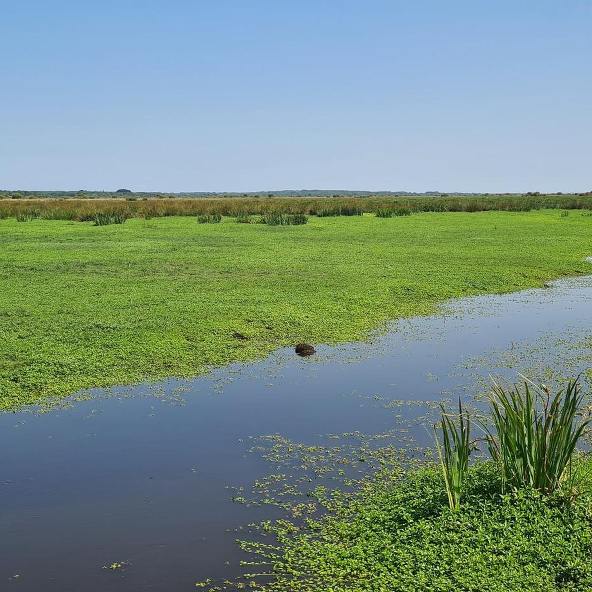
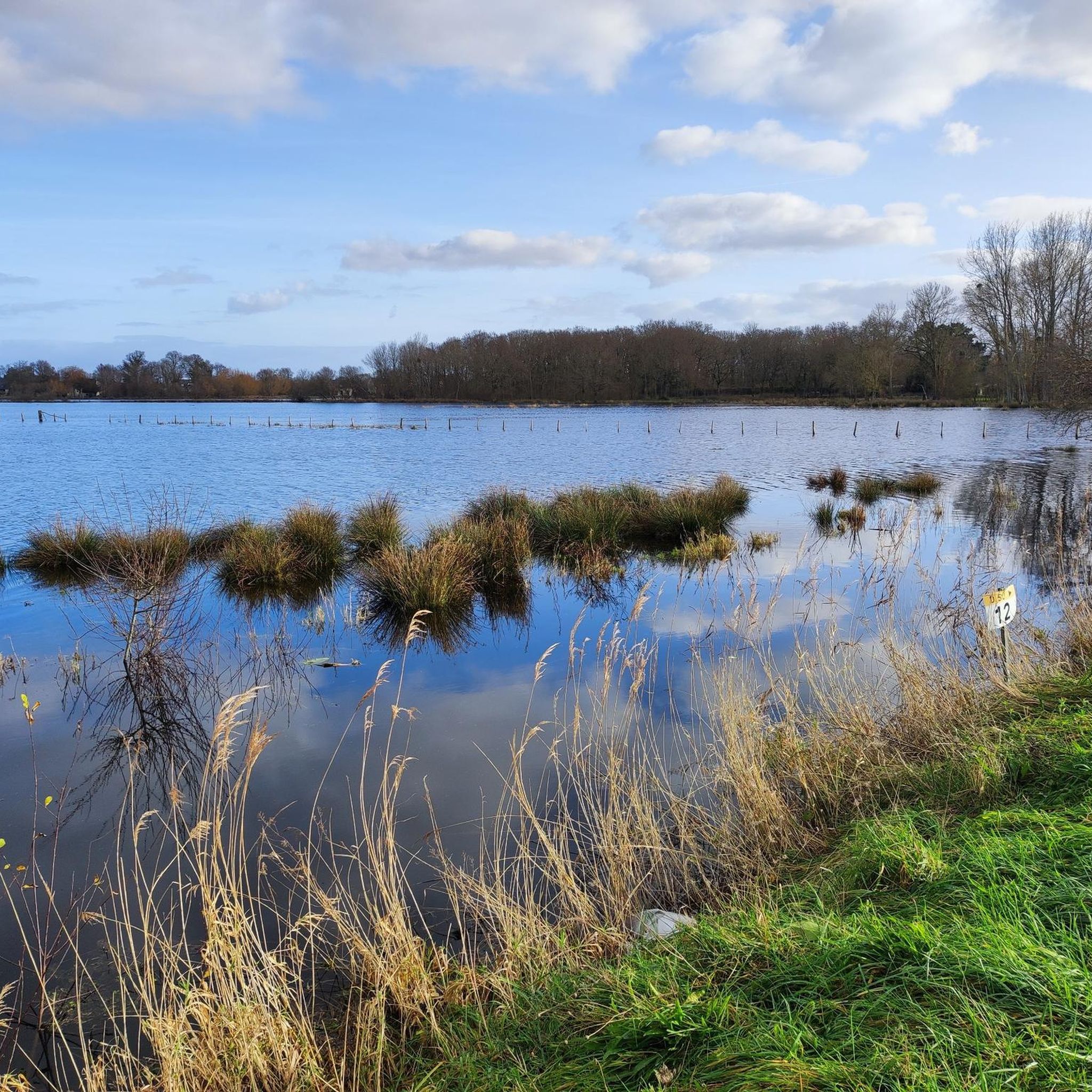
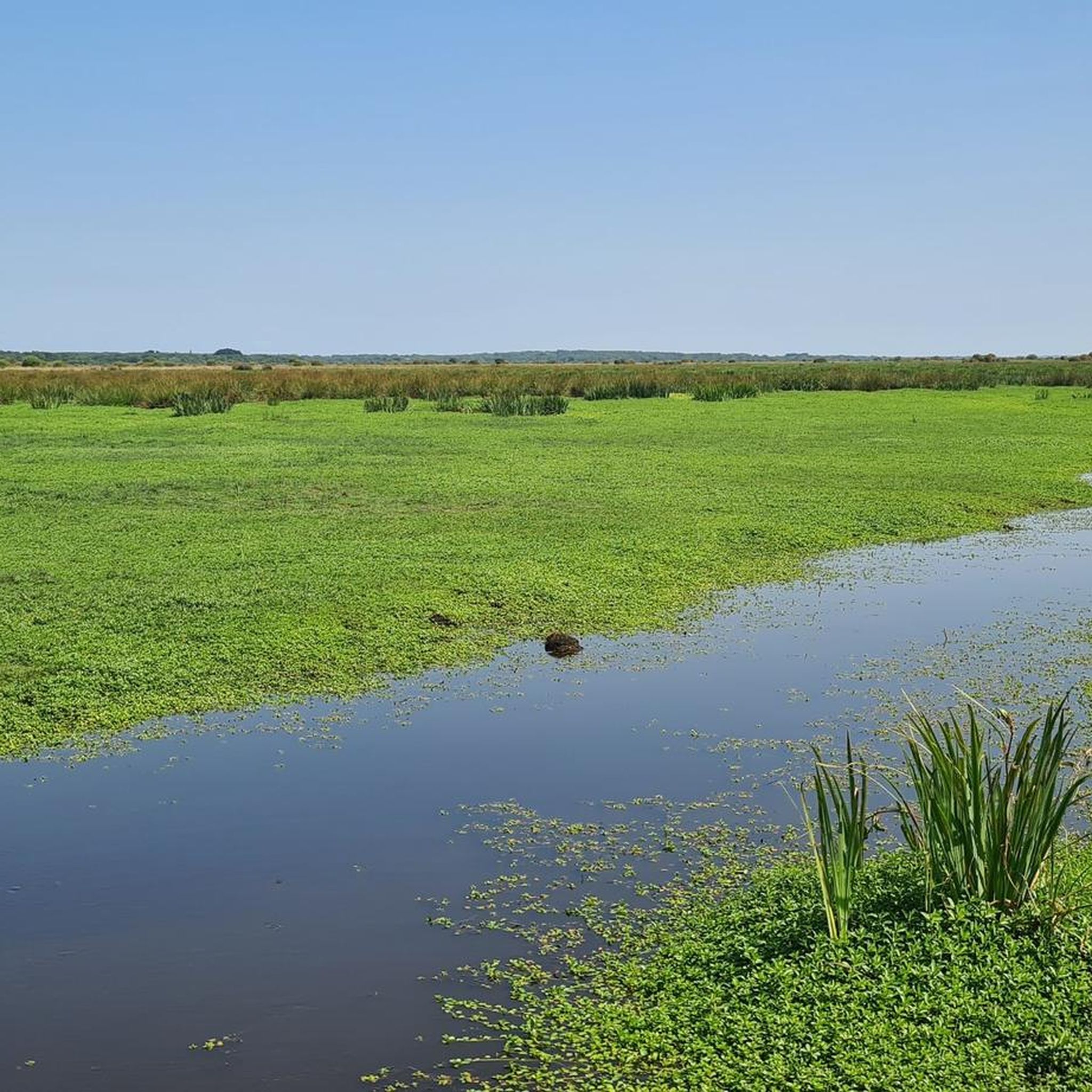
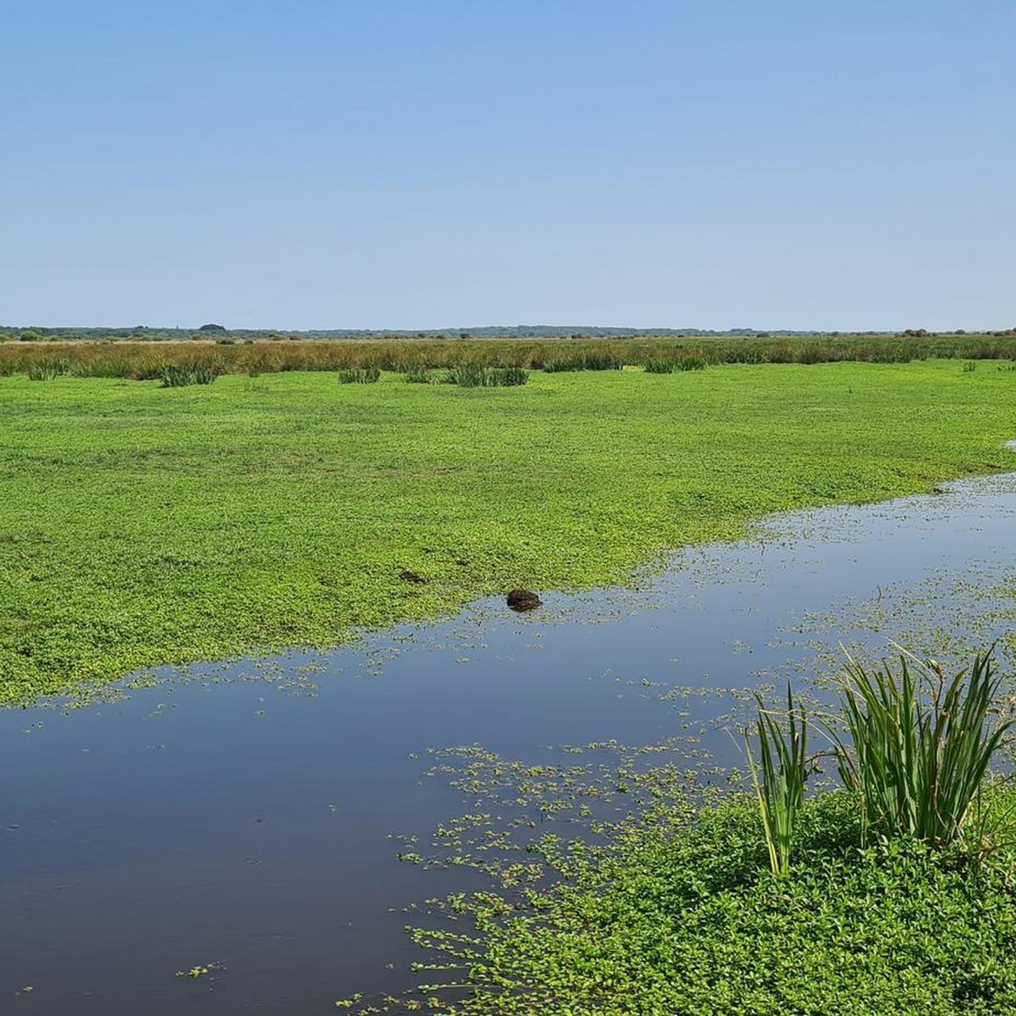

Tips from the Community

Very rideable gravel paths. I did it with a friend on a road bike and it went very well.
0
0
Formidable. A very smooth gravel path.
0
0
A beautiful pond surrounded by trees, very photogenic.
0
0
A sandy beach nestled at the bottom of a rocky cove. Superb.
0
0
Attention when crossing as you have to carry the bike.
0
0
The most majestic of the gates opening access to the fortified city
0
0
Great but not very rideable (ruts, roots etc...) and probably wet in winter. More for gravel and MTB. The path that continues it is much more rideable.
0
0
The central part of the embankment and therefore the cycle path was under construction on 19/9/26. Diversion via parallel streets. It will be transformed like the eastern part with wider sidewalks and a real cycle path. Which is very good news.
0
0
Frequently Asked Questions
What is the general difficulty level of mountain bike trails around Saint-André-Des-Eaux?
The trails in Saint-André-Des-Eaux are predominantly easy to moderate, with 97 easy and 76 moderate routes available. There are also 2 more challenging routes for experienced riders. The region's flat to gently rolling topography means low elevation gains, making it accessible for various skill levels.
Are there any family-friendly mountain bike trails in Saint-André-Des-Eaux?
Yes, Saint-André-Des-Eaux offers many family-friendly options, with 97 easy routes. These trails often follow waterways and dikes, providing gentle terrain suitable for all ages. An example of an easy route is the Gras bridge – Pont de Gras loop from Cogéa, which is 14.1 miles (22.6 km) long.
What kind of terrain can I expect on mountain bike trails in this region?
You can expect varied terrain, often traversing coastal areas, marshlands, and agricultural landscapes. Routes frequently follow waterways and dikes, offering a mix of paved and unpaved surfaces. The topography is generally flat to gently rolling, characterized by low elevation gains.
Are there any circular mountain bike trails available?
Yes, many of the mountain bike trails around Saint-André-Des-Eaux are circular. For instance, the Port of La Chaussée Neuve loop from La Rivière is a moderate 21.7 miles (35.0 km) circular route that explores the local port area.
What are some interesting landmarks or natural sights I can see along the mountain bike trails?
The region offers several points of interest. You can explore the unique landscape of the Guérande Salt Marshes, visit the impressive Porte Saint-Michel in Guérande, or discover the Pierre Constant Site – Brière Marsh Nature Reserve. The coastal routes also offer views of the Serpent of the Ocean.
What do other mountain bikers say about the trails in Saint-André-Des-Eaux?
The mountain bike trails in Saint-André-Des-Eaux are highly rated by the komoot community, with an average score of 4.4 stars from over 400 reviews. Many riders appreciate the varied terrain, the scenic coastal paths, and the well-maintained routes through marshlands and rural areas, making them suitable for longer, enjoyable rides.
What is the best time of year for mountain biking in Saint-André-Des-Eaux?
The region generally experiences mild weather, making mountain biking enjoyable for much of the year. Spring and autumn offer pleasant temperatures and vibrant scenery. Summer can be warm, especially on exposed coastal sections, while winter rides are possible but may require appropriate gear for cooler, potentially wetter conditions.
Are there any advanced mountain biking routes for experienced riders?
While the majority of routes are easy to moderate, there are 2 routes classified as difficult for those seeking a greater challenge. These routes may feature more technical sections or longer distances, though the overall elevation gain in the region remains low.
How long do mountain bike rides typically take in Saint-André-Des-Eaux?
Ride durations vary depending on the route and your pace. For example, an easy route like the Pont de Gras – Chemin sympa loop from Le Brunet, which is 13.9 miles (22.4 km), typically takes around 1 hour 27 minutes. Longer moderate routes, such as the Porte Saint-Michel – Le Croisic loop from Saint-André-des-Eaux, can take over 3 hours due to their 43.6 miles (70.2 km) length.
Are there opportunities to see wildlife or nature reserves along the trails?
Yes, the region's marshlands and coastal areas are rich in biodiversity. You can explore the Pierre Constant Site – Brière Marsh Nature Reserve, which is known for its unique ecosystem and birdlife. Many routes traverse these natural environments, offering chances to observe local flora and fauna.
What are the typical distances for mountain bike trails in Saint-André-Des-Eaux?
The trails vary significantly in length, catering to different preferences. You can find shorter routes, such as the Pont de Gras – Chemin sympa loop from Le Brunet at 13.9 miles (22.4 km), or opt for much longer rides like the Porte Saint-Michel – Le Croisic loop from Saint-André-des-Eaux, which spans 43.6 miles (70.2 km).
Most popular routes around Saint-André-Des-Eaux
Most popular attractions around Saint-André-Des-Eaux

Get inspired with the komoot mobile app


Explore more
Browse the best MTB trails in other regions.
