The best road cycling routes around Speloncato
4.7
(388)
7,770
riders
86
rides
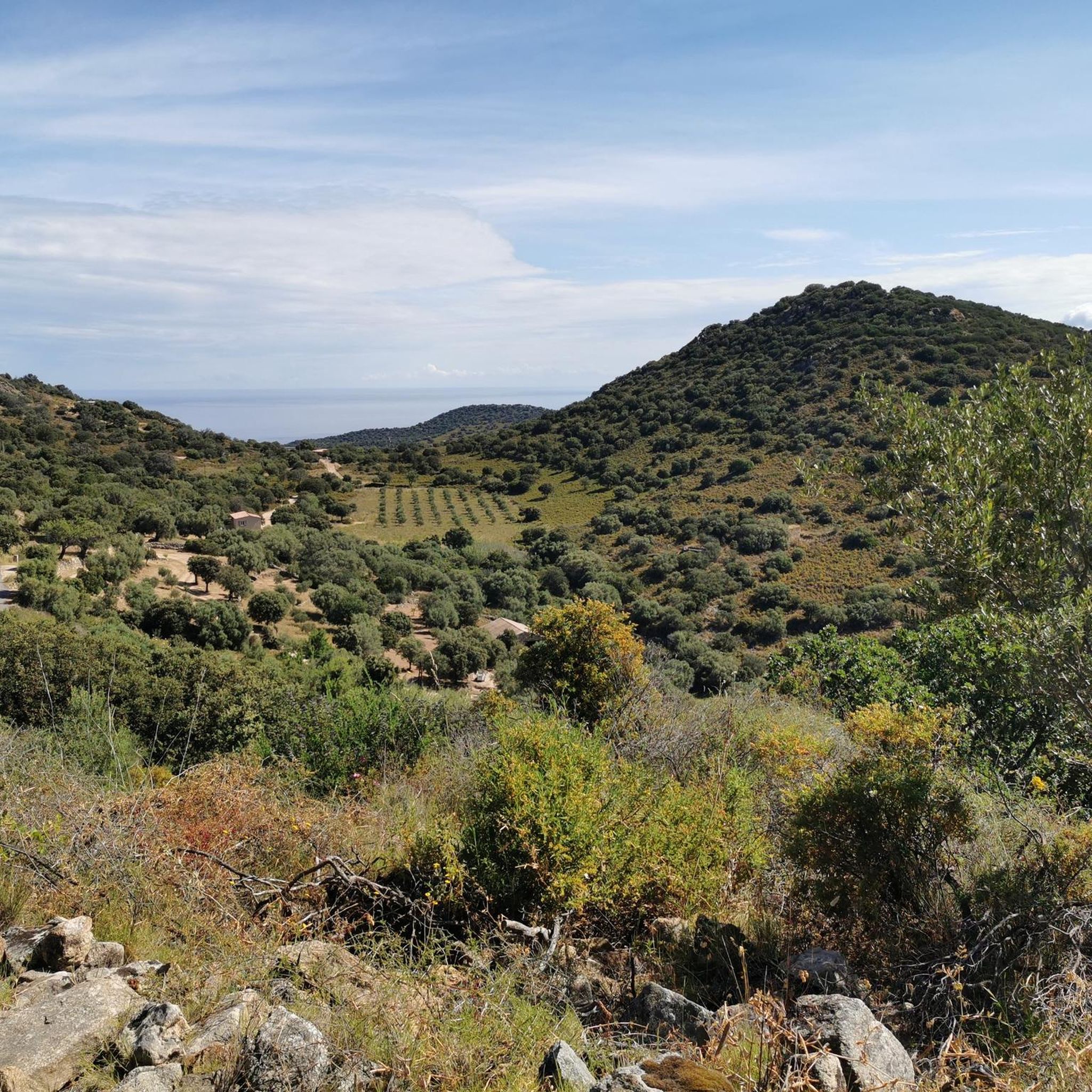
Road cycling routes around Speloncato are situated in the Balagne region of northern Corsica, a landscape characterized by mountainous terrain and authentic villages. The village itself is perched on a granite spur at 570 meters above sea level, leading to routes with challenging climbs and winding descents. Cyclists can expect panoramic views of the Mediterranean Sea, the Reginu Valley, and Lake Codole. The area offers a diverse backdrop of mountains and rocky terrain, with many routes on paved surfaces.
Best…
Last updated: July 7, 2026
4.6
(23)
458
riders
66.8km
03:44
1,490m
1,490m
Hard road ride. Very good fitness required. Mostly well-paved surfaces and easy to ride.
5.0
(2)
49
riders
57.8km
02:58
990m
990m
Hard road ride. Very good fitness required. Mostly well-paved surfaces and easy to ride.

Sign up for free
4.8
(25)
539
riders
80.4km
04:06
1,360m
1,360m
Hard road ride. Very good fitness required. Mostly well-paved surfaces and easy to ride.
4.9
(9)
478
riders
177km
08:46
2,840m
2,830m
Hard road ride. Very good fitness required. Mostly well-paved surfaces and easy to ride.
4.8
(15)
243
riders
46.8km
02:49
1,220m
1,220m
Hard road ride. Very good fitness required. Mostly well-paved surfaces and easy to ride.
Get access to more routes and recommendations from other explorers.
Sign up for free
Already have an account?
Our route recommendations are based on thousands of hikes, rides, and runs completed by other people on komoot.
Start today with a free account
Your next adventure awaits.
Login or Signup
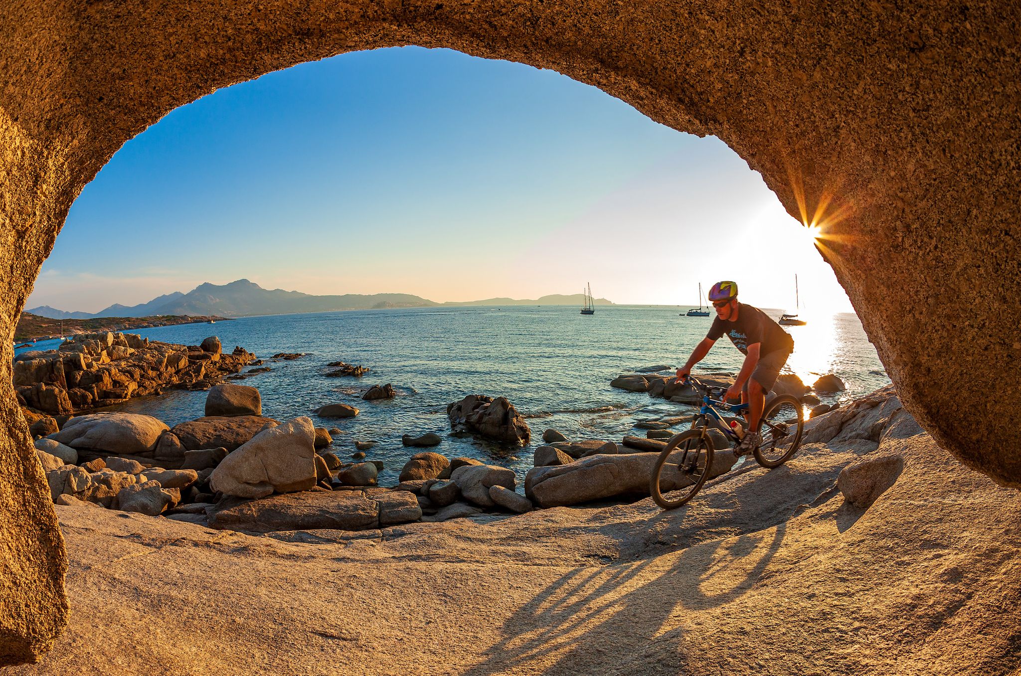
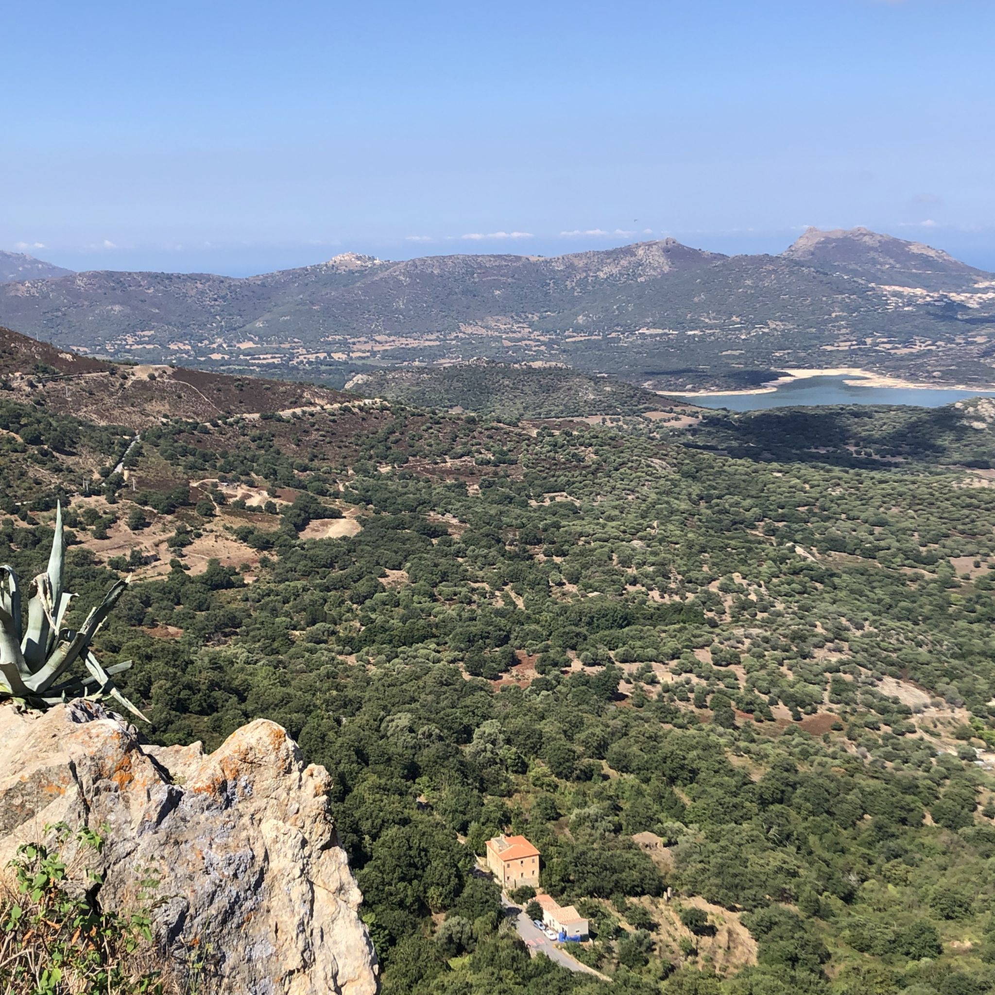
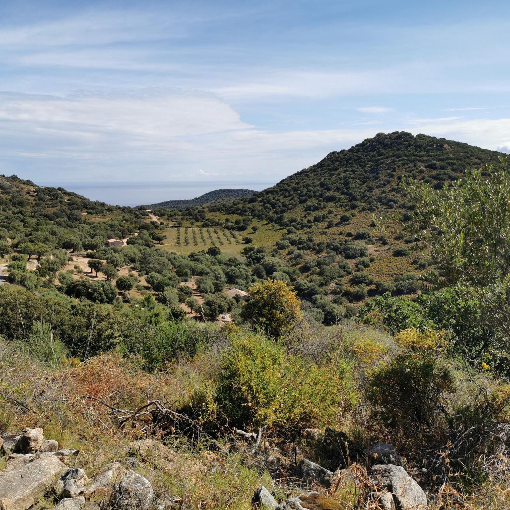
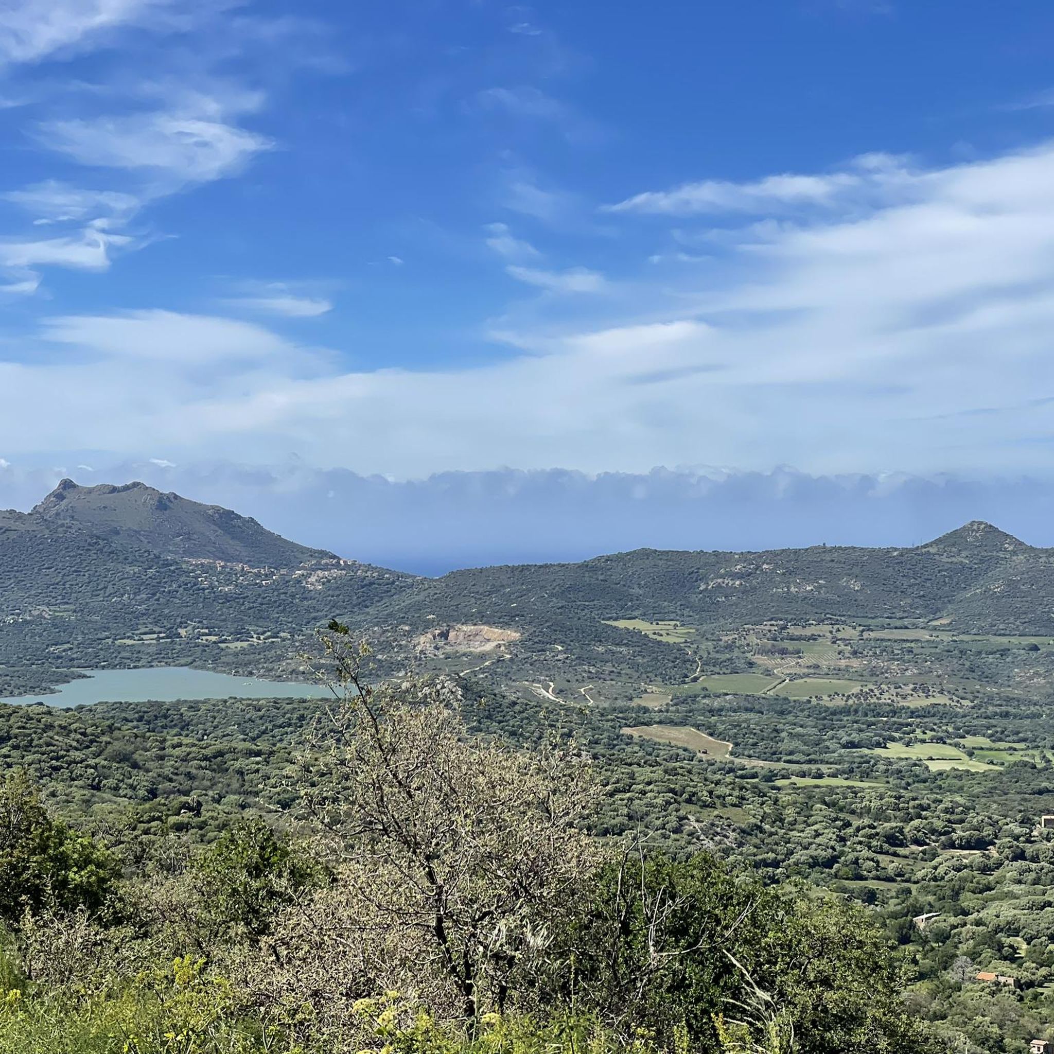

Other adventures around Speloncato

Tips from the Community

The village has had its Church of Saint Thomas since 1269, built by Andrea Malaspina. Amidst its arcades and numerous so-called "venelles," it houses a 16th-century image of the Virgin and Child, a 17th-century holy water font, and a marble statue of Saint Anthony the Baptist, discovered near Lozari. The latter, coveted by several communities, was therefore transported by oxen on a cart across the region and given to the village where the animals first stopped.
0
0


Atmospheric in the hinterland
0
0

Start of a very nice walk
0
0

very pretty here, very pretty
0
0

The pass itself has a provisional pass sign at the junction to a fenced antenna system, but the D 151 towards Montegrosso as a mountain road climbs by about 15 meters in altitude over the next undulating 800 meters.
1
0
Frequently Asked Questions
How many road cycling routes are available around Speloncato?
There are over 75 road cycling routes in the Speloncato area, offering a wide range of options for cyclists. These routes are highly rated by the komoot community, with an average score of 4.6 stars.
What kind of terrain can I expect when road cycling near Speloncato?
Road cycling around Speloncato is characterized by its mountainous landscape and the village's dramatic perch on a granite spur. You can expect challenging climbs, some with gradients up to 11%, and winding descents, mostly on paved surfaces. The routes navigate through the diverse backdrop of the Balagne region, often referred to as the 'Garden of Corsica'.
Are there routes suitable for different skill levels in Speloncato?
Yes, the Speloncato area offers routes for various skill levels. While many routes feature significant ascents and are considered difficult, there are also moderate and easy options available. Out of 76 routes, 7 are easy, 35 are moderate, and 34 are difficult, ensuring there's something for every road cyclist.
What scenic views can I enjoy while cycling in the Speloncato area?
Cycling routes around Speloncato offer breathtaking panoramic views. You can expect to see the sparkling Mediterranean Sea, the fertile Reginu Valley, and the serene Lake Codole. The routes also provide vistas of the Balagne region's diverse mountainous terrain and picturesque villages.
Are there any interesting villages or landmarks to visit along the cycling routes?
Absolutely. The Balagne region is dotted with charming, authentic villages. Many routes will take you through or near historic settlements like Sant' Antonino, Pigna, Montemaggiore, Lavatoggio, Cateri, Avapessa, Muro, and Feliceto. Speloncato itself is an ancient village with narrow streets, arched passageways, and a baroque church worth exploring.
What is the best time of year for road cycling in Speloncato?
The spring and autumn months are generally considered the best for road cycling in Speloncato. During these seasons, the weather is typically milder and more pleasant for longer rides, allowing you to fully enjoy the challenging climbs and scenic beauty without the intense heat of summer.
Are there any loop road cycling routes near Speloncato?
Yes, many of the road cycling routes around Speloncato are designed as loops, allowing you to start and finish in the same location. For example, the Balagne Villages and Bocca di Battaglia Loop is a popular option that takes you through the heart of the region's stunning landscapes.
Can I find challenging road cycling routes with significant elevation gain?
Speloncato is an excellent base for challenging road cycling. The village itself is at 570 meters above sea level, and routes often involve significant ascents. For instance, the Belgodere – View of Losari and Belgodère loop from Camping Monticello features over 2,400 meters of elevation gain, providing a demanding experience for advanced cyclists.
Are there any specific mountain passes or summits accessible by road bike?
Yes, several routes incorporate mountain passes and offer access to summits. For example, the Balagne Villages and Bocca di Battaglia Loop includes the Bocca di Battaglia (1010 m), providing both a physical challenge and spectacular views. Another notable pass is the Col de Salvi, often part of longer loops.
What are other road cyclists saying about the routes in Speloncato?
The road cycling routes in Speloncato are highly regarded by the komoot community, with an impressive average rating of 4.6 stars from over 270 reviews. Cyclists frequently praise the challenging climbs, the stunning panoramic views of the sea and valleys, and the opportunity to explore the authentic Corsican villages.
Are there any longer, multi-day cycling options that include Speloncato?
Speloncato is strategically located within the Balagne region, which is part of the GT20 "Grande Traversée," a 600 km cycle touring route across Corsica. This makes Speloncato an ideal stop or a key point for longer, multi-day road cycling adventures, allowing you to integrate it into a broader exploration of the island.
Are there any natural features or wildlife to look out for while cycling?
Beyond the dramatic granite spur Speloncato is built upon, the region is rich in natural beauty. Keep an eye out for red kites soaring on thermal currents above the village. The routes often pass by Lake Codole and offer views of the diverse landscapes of the Balagne, often called the 'Garden of Corsica'.
Most popular attractions around Speloncato

Get inspired with the komoot mobile app


Explore more
Browse the best Road cycling routes in other regions.
