The best mountain hikes around Pioggiola
4.8
(11)
63
hikers
6
hikes
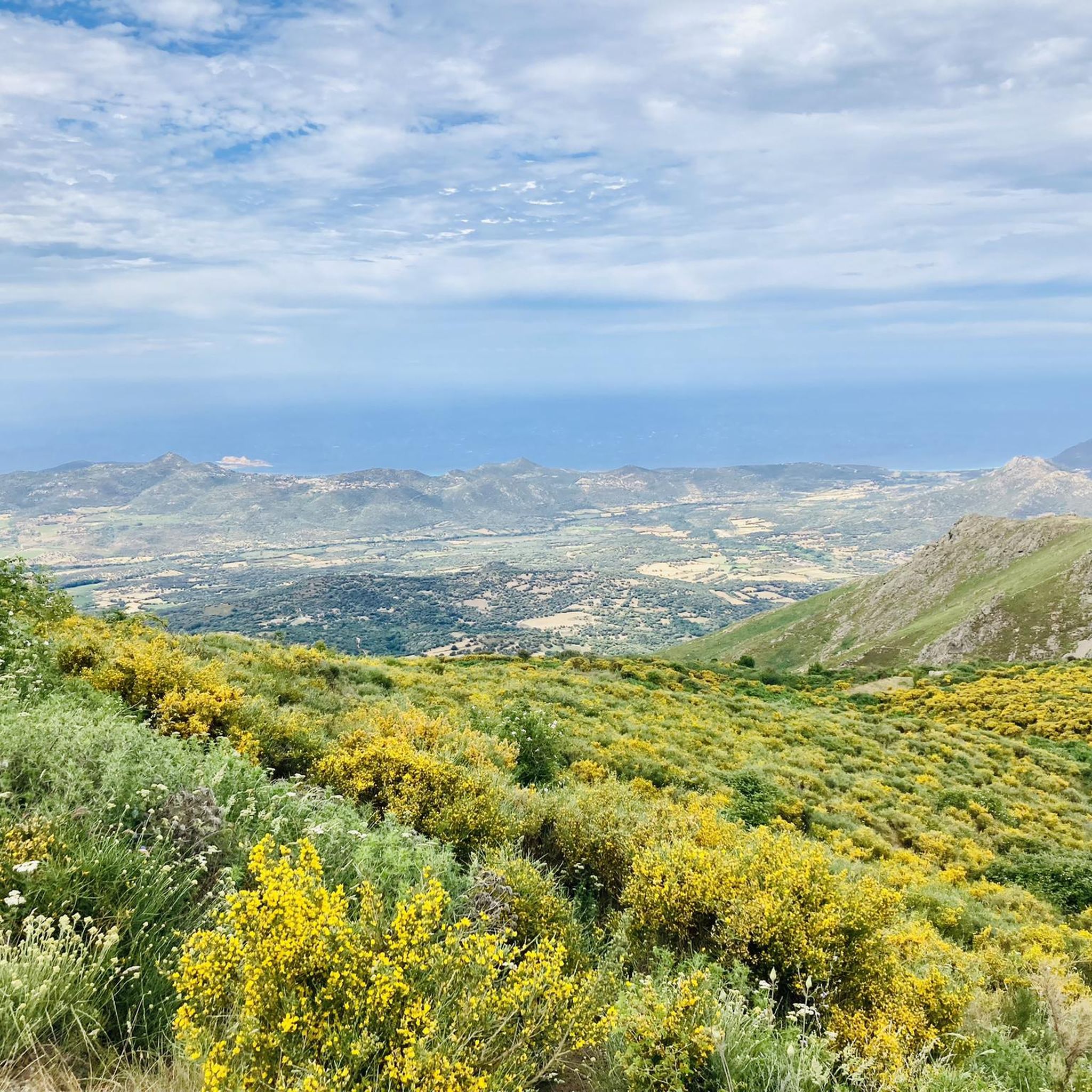
Challenging mountaineering trails Pioggiola area are characterized by rugged terrain, dense forests, and significant elevation changes. The region, situated within the Corsican mountains, offers routes that traverse high passes and lead to panoramic viewpoints. Mountaineering routes around Pioggiola often feature refuges and river bathing areas, providing diverse natural features for exploration.
Best mountaineering routes around Pioggiola
- The most popular mountaineering route is Bocca di Pisciaghja Pass – Awesome Panorama loop from Auberge de la Forêt, a 12.9 miles (20.8…
Last updated: August 17, 2026
5.0
(2)
15
hikers
16.9km
07:22
1,090m
1,090m
Hard mountaineering route. Very good fitness required. Sure-footedness, sturdy shoes and alpine experience required.
4.8
(5)
13
hikers
4.45km
01:45
250m
250m
Moderate mountaineering route. Great for any fitness level. Mostly accessible paths. Sure-footedness required.

Sign up for free
4.0
(2)
13
hikers
10.9km
04:20
650m
650m
Moderate mountaineering route. Good fitness required. Mostly accessible paths. Sure-footedness required.
9
hikers
14.0km
06:47
1,000m
1,000m
Hard mountaineering route. Very good fitness required. Mostly accessible paths. Sure-footedness required.
5.0
(1)
3
hikers
20.8km
10:28
1,680m
1,680m
Hard mountaineering route. Very good fitness required. Sure-footedness, sturdy shoes and alpine experience required.
Our route recommendations are based on thousands of hikes, rides, and runs completed by other people on komoot.
Start today with a free account
Your next adventure awaits.
Login or Signup
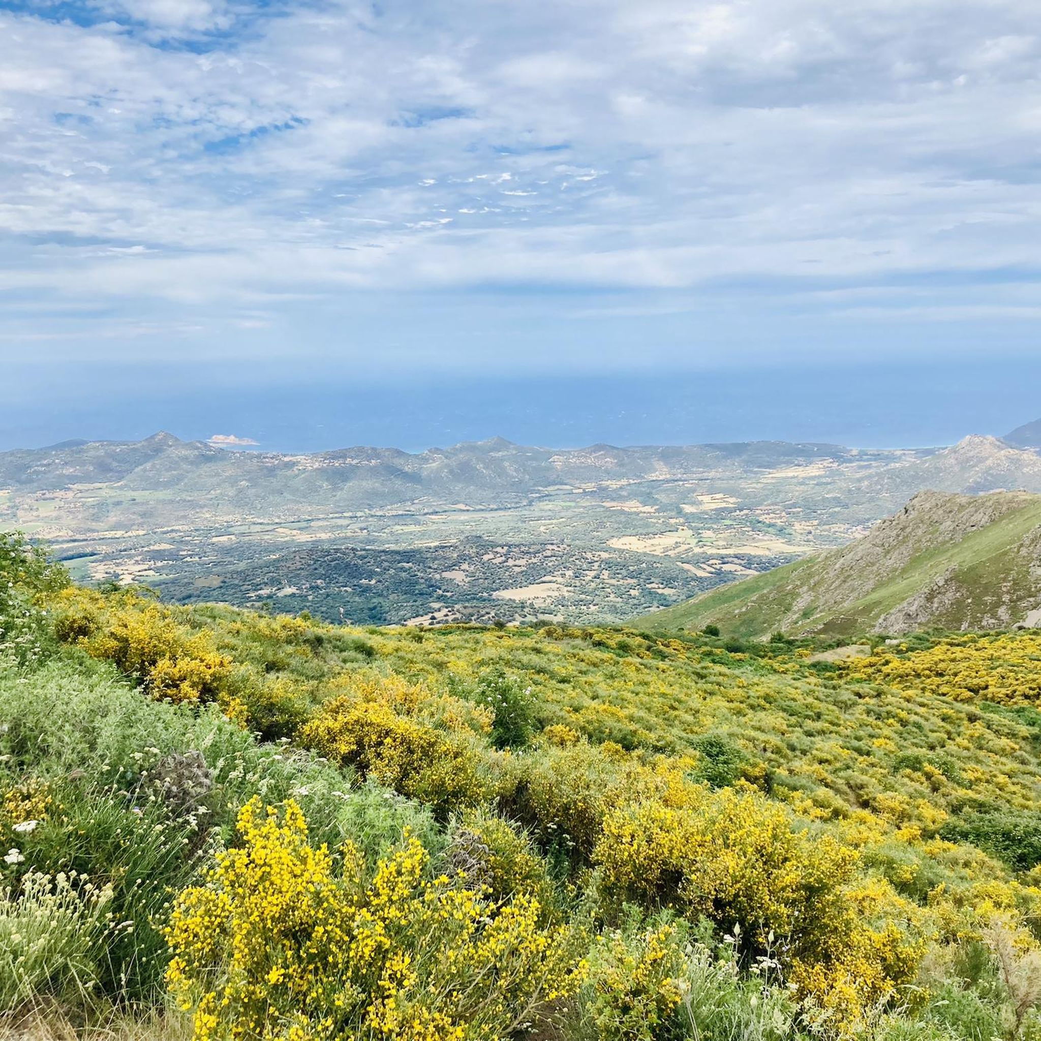
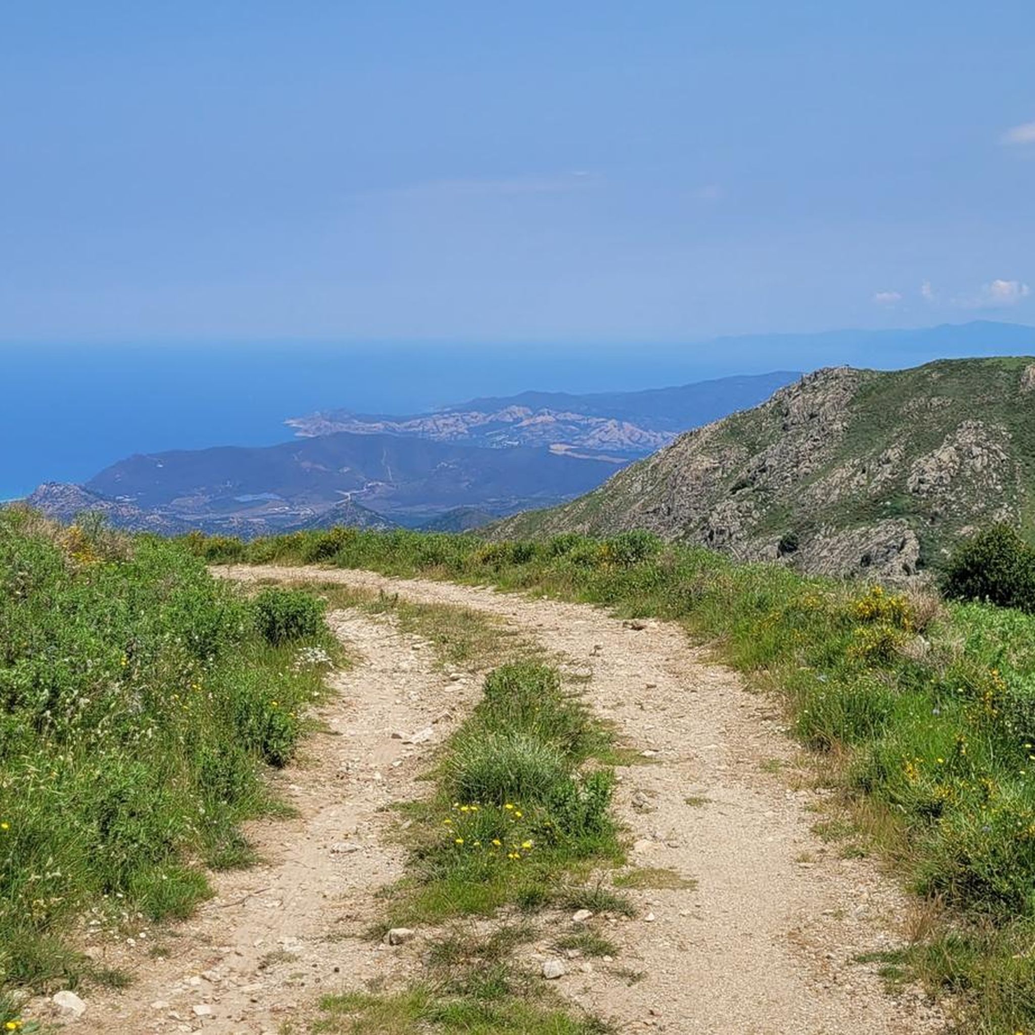
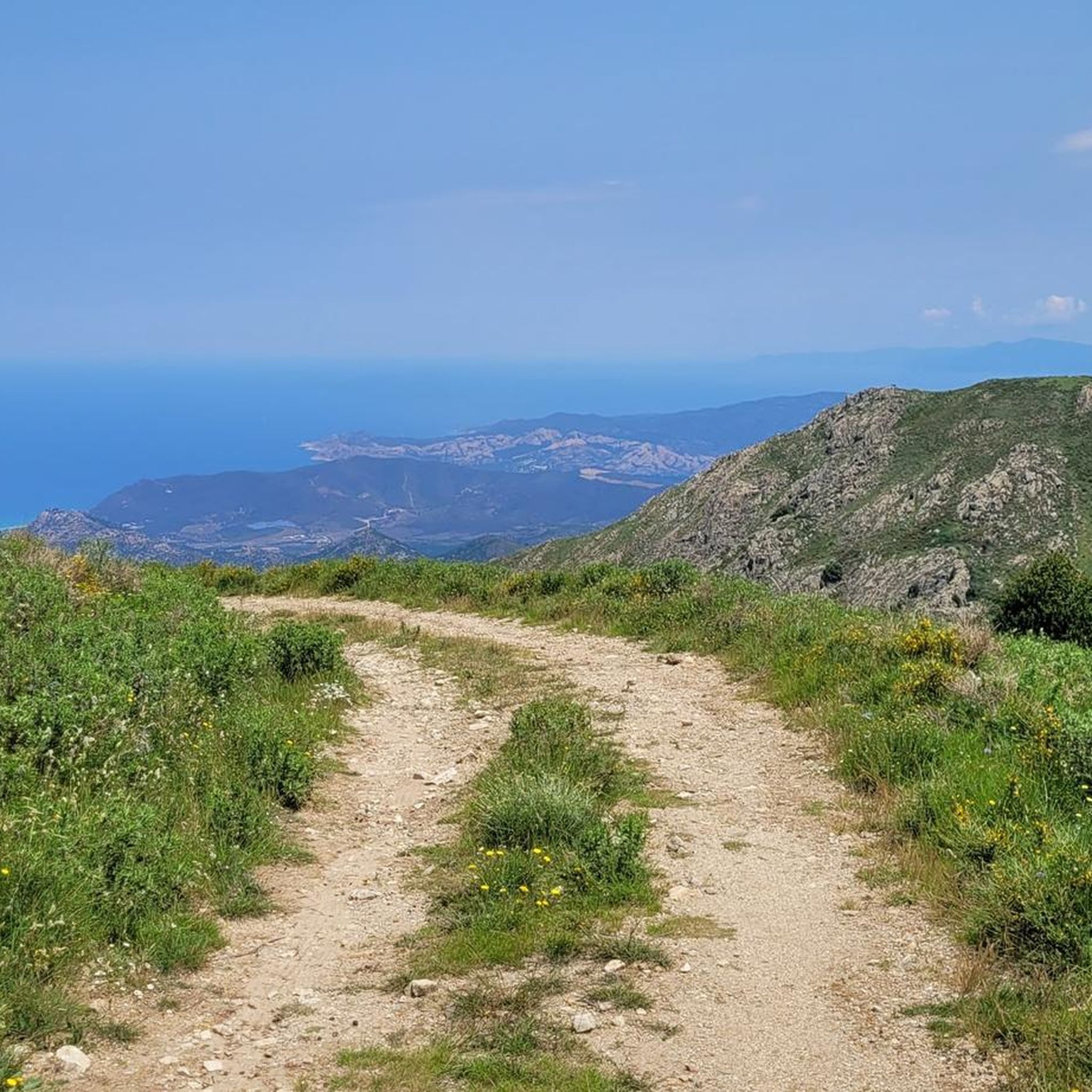
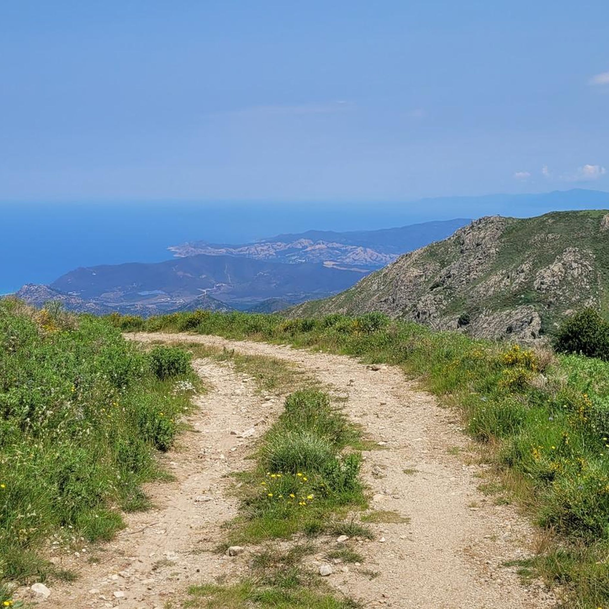
Tips from the Community

super mega pretty here
1
0
pretty here, very pretty
1
0
Pretty here, very pretty
1
0
Frequently Asked Questions
How many mountaineering routes are available around Pioggiola?
There are 6 mountaineering routes around Pioggiola, offering a range of experiences from moderate to difficult. These trails are highly rated by the komoot community, with an average score of 4.7 stars.
Are there any moderate mountaineering routes in the Pioggiola area?
Yes, Pioggiola offers 3 moderate mountaineering trails. A good option is the Bonifatu Refuge – River bathing area loop from Auberge de la Forêt, which is about 4.4 km long and takes around 1 hour 45 minutes to complete. Another moderate route is the Bonifatu Refuge – River bathing area loop from Auberge de la Forêt, which is longer at 10.9 km and takes about 4 hours 20 minutes.
What are some challenging mountaineering trails near Pioggiola?
For those seeking a challenge, Pioggiola has 3 difficult mountaineering routes. The Bocca di Pisciaghja Pass – Awesome Panorama loop from Auberge de la Forêt is a popular choice, covering 20.8 km with significant elevation gain. Another demanding route is the Bonifatu Refuge – Refuge de l'Ortu di u Piobbu loop from Auberge de la Forêt, a 17.1 km path connecting two refuges.
Are there any circular mountaineering routes around Pioggiola?
Yes, all the mountaineering routes listed for Pioggiola are circular loops, allowing you to start and end at the same point. Examples include the View of the Corsican Mountains – Funtana of ortiventi loop from Calenzana and the Bocca di Pisciaghja Pass – Awesome Panorama loop from Auberge de la Forêt.
Can I find mountaineering routes suitable for a 4-6 hour trip?
Yes, several routes fit within a 4-6 hour timeframe. The Bonifatu Refuge – River bathing area loop from Auberge de la Forêt is a moderate 10.9 km route that typically takes around 4 hours 20 minutes. For a slightly longer option, the View of the Corsican Mountains – Funtana of ortiventi loop from Calenzana is a difficult 14.2 km trail often completed in about 6 hours 52 minutes.
What kind of attractions can I see along the mountaineering routes near Pioggiola?
The routes around Pioggiola offer diverse natural features. You can encounter high mountain passes, dense forests like the Bonifatu Forest, and river bathing areas. Some trails also lead past significant natural monuments such as the Stagnu Pass or the Natural Pools and Rock Slides in Parc Naturel Régional de Corse.
Are there any refuges or huts along the trails in Pioggiola?
Yes, the mountaineering routes in Pioggiola often feature refuges. For instance, the Bonifatu Refuge – Refuge de l'Ortu di u Piobbu loop from Auberge de la Forêt connects two such shelters: Refuge de l'Ortu di u Piobbu and the Bonifatu Refuge. Other nearby huts include Carozzu Refuge and Refuge de Stagnu (Haut-Asco).
What is the best time of year for mountaineering in Pioggiola?
The Corsican mountains, where Pioggiola is located, are best explored for mountaineering during the late spring, summer, and early autumn months (May to October). During these periods, the weather is generally more stable, and high passes are typically free of snow, making for safer and more enjoyable conditions. Always check local weather forecasts before heading out.
Is public transport available to reach the mountaineering trailheads near Pioggiola?
Public transport options directly to specific trailheads around Pioggiola can be limited. It's advisable to check local bus schedules or consider car rental for more flexibility in accessing the starting points of these mountain routes, many of which begin from locations like Auberge de la Forêt or Calenzana.
Where can I park for mountaineering trails around Pioggiola?
Many mountaineering routes in the Pioggiola area, particularly those starting from popular points like Auberge de la Forêt or Calenzana, typically have designated parking areas. It's recommended to arrive early during peak season to secure a spot, especially for longer or more popular trails.
Are there any river bathing areas along the routes?
Yes, the region is known for its river bathing areas. Some routes, such as the Bonifatu Refuge – River bathing area loop from Auberge de la Forêt, specifically highlight these refreshing spots, offering a chance to cool down during your mountaineering adventure.
What do other mountaineers say about the routes in Pioggiola?
The mountaineering routes in Pioggiola are highly rated by the komoot community, with an impressive average score of 4.7 stars from 9 reviews. Over 50 mountaineers have used komoot to explore this varied terrain, often praising the expansive views, challenging ascents, and the unique experience of traversing high mountain passes and connecting refuges.
Most popular attractions around Pioggiola

Get inspired with the komoot mobile app


Explore more
Browse the best Mountain Hikes & Routes in other regions.
