The best running trails around Trévignin
4.6
(233)
20,258
runners
477
runs
Jogging routes around Trévignin offer a diverse environment for outdoor enthusiasts in the Savoie region of France. The area features varied terrain, from challenging mountain routes with significant elevation gains to paths through dense forests and open alpine pastures. Proximity to Lac du Bourget provides scenic lakeside vistas, while mountain passes like Col du Chat and Mont Revard offer panoramic views. This landscape composition makes Trévignin a notable destination for running.
Best jogging routes around Trévignin
- The most popular jogging…
Last updated: July 1, 2026
132
runners
Hard run. Very good fitness required. Sure-footedness, sturdy shoes and alpine experience required.
3.0
(1)
98
runners
14.0km
01:46
340m
340m
Hard run. Very good fitness required. Mostly paved surfaces. Suitable for all skill levels.

Sign up for free
79
runners
10.3km
01:30
430m
430m
Hard run. Very good fitness required. Sure-footedness, sturdy shoes and alpine experience required.
13
runners
19.0km
02:16
420m
420m
Hard run. Very good fitness required. Mostly paved surfaces. Suitable for all skill levels.
5.0
(1)
9
runners
8.14km
00:54
170m
170m
Moderate run. Good fitness required. Mostly paved surfaces. Suitable for all skill levels.
Get access to more routes and recommendations from other explorers.
Sign up for free
Already have an account?
Our route recommendations are based on thousands of hikes, rides, and runs completed by other people on komoot.
Start today with a free account
Your next adventure awaits.
Login or Signup


Tips from the Community

A piece of history and heritage of Aix les Bains and Revard to discover on a hike
0
0

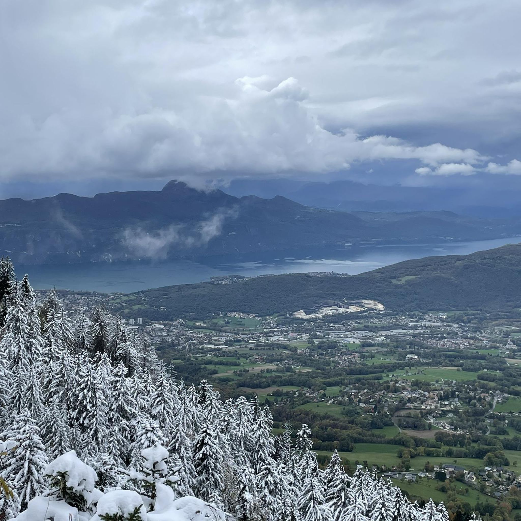
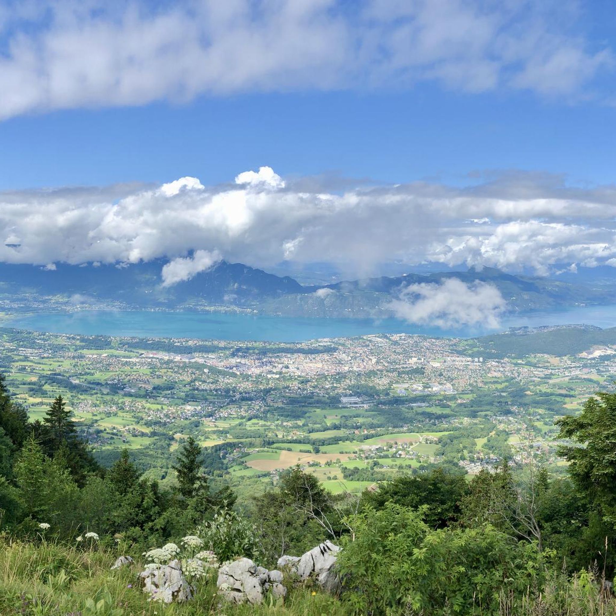
magnificent viewpoint over Lake Bourget to the Aravis and you can see Annecy on the lower Semnoz
0
0

Beautiful view of the Margériaz cliff and Lake Bourget on the other side!!
0
0

Beautiful climb through the UNESCO geopark of the Bauges massif
1
0

Well-trodden and technical mountain bike path
0
0

Great tour with very varied landscapes Some icy passages especially in the woods we put the hooks To do again this summer.
0
0

This path was originally a cogwheel railway line, which connected the town of Aix-les-Bains to Mont Revard. The line disappeared in 1937. Today it is a path that winds under the canopy.
1
0

Great view from up here! Unfortunately there is currently no summit cross; but the foundation is there.
0
0
Frequently Asked Questions
How many running routes are available in Trévignin?
Trévignin offers a wide selection of over 450 running routes, catering to various fitness levels and preferences. These include a mix of easy, moderate, and challenging trails through diverse landscapes.
What kind of terrain can I expect on running trails around Trévignin?
The running trails around Trévignin feature a diverse range of terrain. You'll find everything from gentle paths through shaded forests and open alpine pastures to more challenging mountainous routes with significant elevation gains. The region's proximity to Lac du Bourget also means some routes offer scenic lakeside vistas.
Are there running routes in Trévignin with great views?
Absolutely! Many running routes in Trévignin boast incredible panoramic views. For instance, the ascent to Mount Revard offers breathtaking vistas of Aix-les-Bains and Lac du Bourget. The La Féclaz – La Féclaz loop from Mont Revard is a great example of a route providing mountain views and varied forest paths.
Can I find family-friendly jogging paths in Trévignin?
Yes, Trévignin offers a selection of easier paths suitable for families. While many routes involve significant elevation, there are 37 easy routes available. These often traverse less challenging terrain through forests, providing a pleasant experience for all ages.
Are dogs allowed on the running trails in Trévignin?
Generally, dogs are welcome on many of the outdoor trails in the Trévignin region, especially in natural areas like forests and alpine pastures. However, it's always recommended to keep them on a leash and check specific trail regulations, particularly in protected areas or during certain seasons.
Are there any circular running routes near Trévignin?
Yes, many of the running routes around Trévignin are designed as loops, allowing you to start and finish in the same location. A popular example is the challenging La Culaz – Ascent to La Culaz loop from Montcel, which covers 20.8 miles through mountainous terrain.
What are some notable natural features or landmarks I might see while running?
While running in Trévignin, you can encounter several impressive natural features. These include mountain peaks like Mount Revard and the Nivolet Cross. You might also discover unique natural monuments such as the Fairies' Cave or the stunning Cascade de la Doriaz waterfall.
What do other runners say about the trails in Trévignin?
The running routes in Trévignin are highly rated by the komoot community, with an average score of 4.5 stars from over 200 reviews. Runners often praise the diverse landscapes, from challenging mountain ascents to serene forest paths, and the breathtaking views of Lac du Bourget and the surrounding mountains.
Are there easy jogging routes for beginners in Trévignin?
Yes, Trévignin offers 37 easy jogging routes perfect for beginners or those looking for a less strenuous run. These paths typically have gentler gradients and cover shorter distances, allowing you to enjoy the natural beauty without excessive challenge.
What are the options for parking near the running trails?
Many trailheads in and around Trévignin, especially those leading to popular areas like Mont Revard or near Lac du Bourget, offer designated parking facilities. It's advisable to check the specific route details on Komoot for information on parking availability at the starting point of your chosen run.
How long are the running routes around Trévignin?
The running routes around Trévignin vary significantly in length. You can find shorter loops, such as the La Tour de L'Angle Est loop from Mont Revard, which is about 5.5 miles (8.9 km). There are also much longer and more challenging routes, like the 20.8-mile (33.5 km) La Culaz – Ascent to La Culaz loop from Montcel.
What is the best season for jogging in Trévignin?
The spring, summer, and autumn months generally offer the best conditions for jogging in Trévignin, with pleasant temperatures and vibrant scenery. While winter running is possible, especially on lower elevation trails, higher mountain routes may be affected by snow and ice, requiring appropriate gear and caution.
Are there any challenging mountain running routes in the area?
Absolutely. Trévignin is known for its challenging mountain running options. Routes like the La Féclaz – Nivolet Cross loop from Mont Revard offer significant elevation gains and rewarding views. The region's mountain passes, such as Col du Chat and Mount Revard, provide excellent opportunities for demanding trail runs.
Can I access running trails in Trévignin using public transport?
While Trévignin itself is a smaller commune, public transport options may connect to nearby larger towns like Aix-les-Bains, which then offer access points to various trails. For specific trailheads, it's best to check local bus schedules or consider carpooling, as direct public transport to every starting point might be limited.
Most popular routes around Trévignin
Most popular attractions around Trévignin

Get inspired with the komoot mobile app


Explore more
Browse the best Running Trails & Routes in other regions.
