The best walks and hikes around Enveitg
4.4
(1234)
11,595
hikers
25
hikes
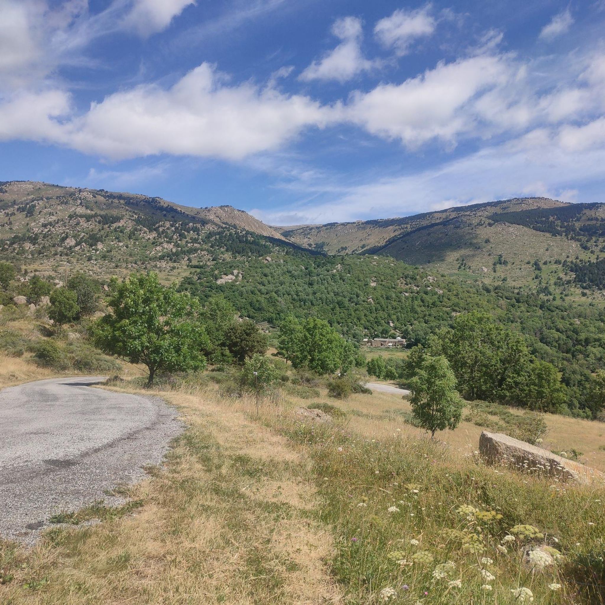
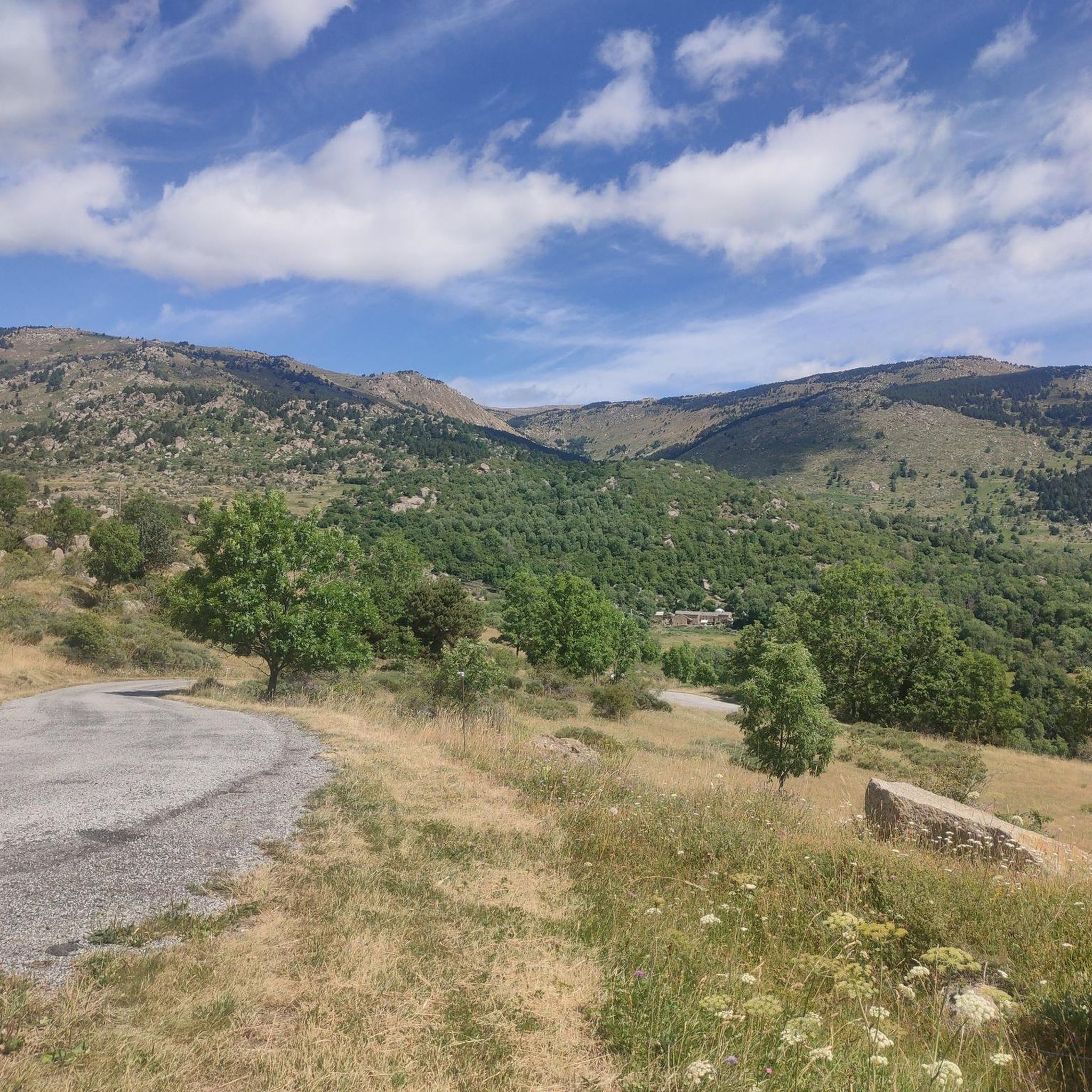
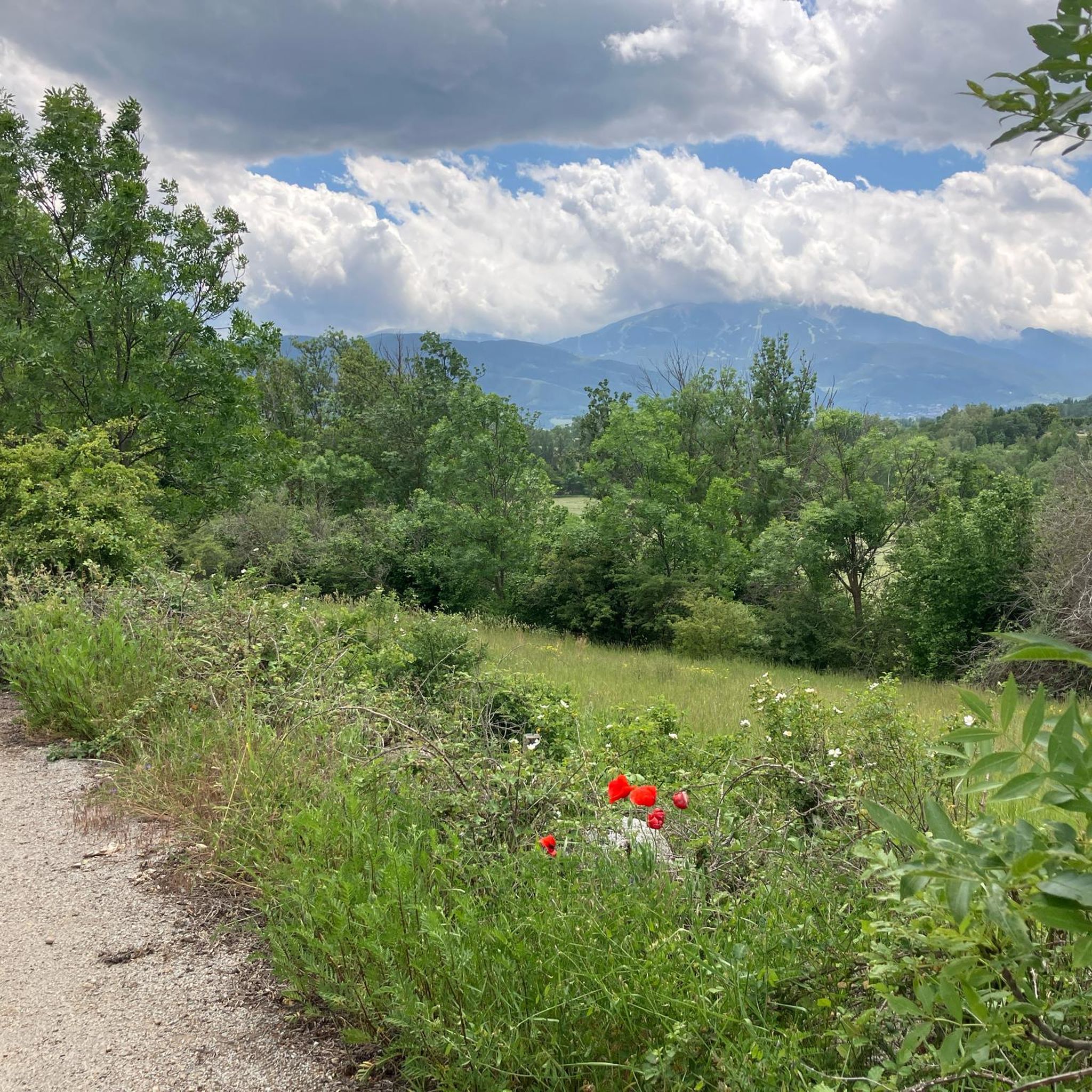
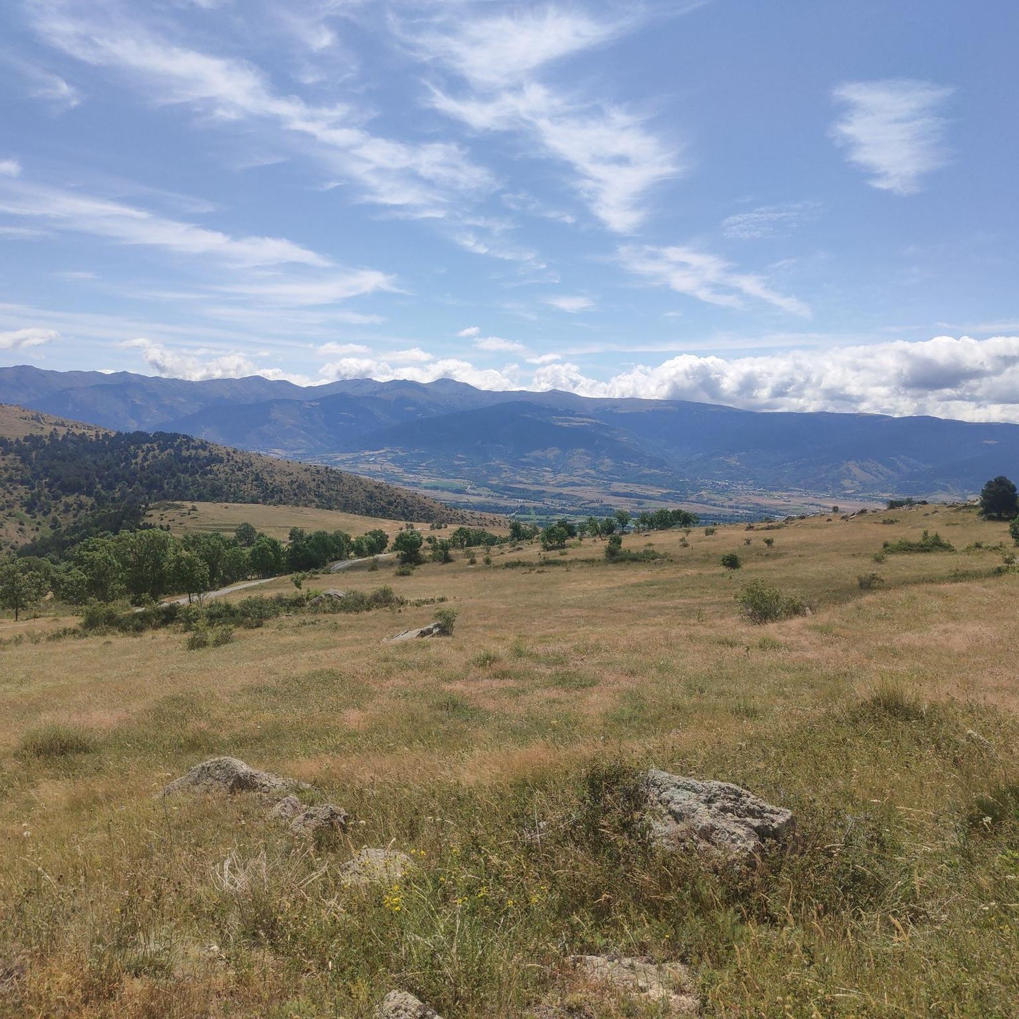
Hiking around Enveitg offers diverse landscapes within the Pyrénées-Orientales department, situated in the historical region of Cerdanya. The commune's altitude, ranging from 1179 to 2579 meters, provides varied high and mid-mountain terrain. Hikers can explore areas characterized by extensive natural herbaceous environments, meadows, and forests, all within the Pyrénées Catalanes Regional Nature Park. Key natural features include the Carlit Massif and the nearby Lac des Bouillouses, offering panoramic views.
Best hiking trails around Enveitg
- The most popular hiking route is…
Last updated: October 9, 2026
4.0
(8)
56
hikers
11.4km
03:01
100m
100m
Moderate hike. Good fitness required. Easily-accessible paths. Suitable for all skill levels.
4.5
(4)
26
hikers
Moderate hike. Good fitness required. Easily-accessible paths. Suitable for all skill levels.

4.0
(1)
24
hikers
10.2km
02:43
110m
110m
Moderate hike. Good fitness required. Easily-accessible paths. Suitable for all skill levels.
4.5
(2)
38
hikers
Moderate hike. Good fitness required. Easily-accessible paths. Suitable for all skill levels.
20
hikers
4.72km
01:36
230m
230m
Easy hike. Great for any fitness level. Easily-accessible paths. Suitable for all skill levels.
Get access to more routes and recommendations from other explorers.
Already have an account?
Our route recommendations are based on thousands of hikes, rides, and runs completed by other people on komoot.
Start today with a free account
Your next adventure awaits.


Tips from the Community

Cerdanya tourist train, centenary, which runs the route from Latour de Querol to Vilafranca de Conflent. a journey through time on a high mountain line that advances at a... slow pace. Enjoy the ride and the scenery and discover new places at each stop. In addition, the Latour de Querol station is also the end of the R3 train line from Puigcerdà to Barcelona, a very easy way to get to Cerdanya in Northern Catalonia and discover its places.
0
0

Ceretà Casino Opened in 1893, for holidaymakers of the time where musical evenings and concerts were organized
0
0
Old bell tower of the Church of Santa María de Puigcerdà, converted into an information point 🧶.
0
0
Picnic place 🧺 with great vegetation, ideal for summer 🏞️
1
0
Nice and quiet environment... but there are no public 🚾🚻 👎
0
0

The broad high altitude plain of Cerdanya is taken between the Carlit massif to the north and the Puigmal massif to the south. It is a collapse ditch associated with the functioning of the Têt fault: a large break in the earth's crust which raises the Puigmal block and lowers the Carlit block towards it. The resulting escarpment is today perfectly legible in the landscape.
1
0

Romanesque church with a hidden cache very close by.
0
0

A few steps from the eponymous hamlet, is this superb dolmen. Listed as a historical monument, it was erected in the 2nd century BC.
0
0
Frequently Asked Questions
What kind of hiking terrain can I expect around Enveitg?
Enveitg offers a diverse range of high and mid-mountain terrain, characterized by extensive natural herbaceous environments, meadows, and forests. You'll find trails traversing low plateaus up to high mountains, often with panoramic views within the Pyrénées Catalanes Regional Nature Park.
Are there any easy hiking trails suitable for beginners or families in Enveitg?
Yes, Enveitg offers several easier routes. There are 5 easy trails available, perfect for those looking for a less strenuous walk or for families. These routes provide a gentle introduction to the region's beautiful landscapes.
What natural attractions or landmarks can I see while hiking near Enveitg?
The region is rich in natural beauty and historical sites. You can explore significant natural features like the Carlit Massif and the stunning Lac des Bouillouses. Historical elements include the ancient Dolmen de Brangolí and charming hamlets like Béna, Fanès, and Brangoly, which offer glimpses into the area's agro-pastoral past.
Are there any circular hiking routes around Enveitg?
Yes, many of the trails around Enveitg are circular, offering convenient starting and ending points. For example, the Schierbeck Park Lake – Puigcerdà loop is a popular circular route, as is the Tourist office ℹ️ – Estany de Puigcerdà loop.
What do other hikers say about the trails in Enveitg?
The hiking routes in Enveitg are highly regarded by the komoot community, holding an impressive average rating of 4.5 stars from over 1050 reviews. More than 10,000 hikers have explored Enveitg's varied terrain using komoot, often praising the diverse landscapes and well-maintained paths.
Can I bring my dog on the hiking trails in Enveitg?
While specific regulations can vary by trail and protected areas within the Pyrénées Catalanes Regional Nature Park, many trails in the Enveitg area are generally dog-friendly. It's always recommended to keep dogs on a leash, especially in areas with livestock or wildlife, and to check local signage for any restrictions.
What is the best time of year to go hiking in Enveitg?
The best time to hike in Enveitg largely depends on your preference. Spring and autumn offer pleasant temperatures and vibrant scenery, ideal for most hikers. Summer is excellent for high-altitude trails and enjoying the lakes, though some routes can be busy. Winter provides opportunities for snowshoeing and different mountain experiences, but requires appropriate gear and awareness of conditions.
Are there any historical routes or cultural sights along the trails?
Absolutely. Enveitg's trails often weave through areas rich in history. You can discover routes like the Dolmen de Brangolí – Tren Groc de la Cerdanya loop, which features ancient megalithic structures. Other paths lead to cultural discoveries such as the Belloc chapel, old farmhouses in the 'Trois Villages du Recoin', and the Saint-Saturnin church with its Romanesque window.
How many hiking trails are available around Enveitg?
There are over 20 hiking routes available around Enveitg, totaling approximately 180 km of trails. These range from easy walks to more challenging treks, ensuring options for various skill levels.
Are there any challenging hikes for experienced trekkers?
Yes, for experienced trekkers, Enveitg offers more challenging options. There are 2 difficult trails, such as the Sainte Marie de Belloc – Dolmen de Brangolí loop, which features significant elevation gain and covers a longer distance, providing a rewarding experience for those seeking a strenuous adventure.
What are some notable high-altitude lakes I can reach on a hike?
The region is famous for its high-altitude lakes. The most prominent is Lac des Bouillouses, situated at 2,016 meters, which is a natural site of great interest and part of the Natural Park of the Catalan Pyrenees. Many other ponds, particularly around the Carlit Massif, can also be explored.
Most popular routes around Enveitg
Most popular attractions around Enveitg

Get inspired with the komoot mobile app


Explore more
Browse the best Hikes in other regions.
