Top 9 Mountain Passes around Saint-Pierre-De-Curtille
Mountain passes near Saint-Pierre-De-Curtille, a commune in the Savoie department of southeastern France, provide access to the region's natural landscape. Situated close to Lac du Bourget, the area serves as a starting point for exploring various mountain passes. These routes offer views of the lake and surrounding mountains. The region features diverse terrain suitable for activities like road cycling and hiking.
Best mountain passes around Saint-Pierre-De-Curtille
- The most popular mountain passes is Col du Chat (638 m), a mountain…
Last updated: July 10, 2026
Col du Chat (638 m)
Highlight • Mountain Pass
Translated by Google •
Tip by

Chambotte Pass
Highlight • Mountain Pass
Translated by Google •
Tip by

Sign up now to discover places like this
Get recommendations on the best single tracks, peaks, & plenty of other exciting outdoor places.
Sign up for free
Col du Clergeon
Highlight • Mountain Pass
Tip by

Ascent of Col du Grand Colombier from Culoz
Highlight (Segment) • Climb
I prefer this side because it allows for the switchbacks that made this pass famous.
Translated by Google •
Tip by

Col du Sapenay
Highlight • Mountain Pass
Translated by Google •
Tip by

Sign up for free to discover even more mountain passes around Saint-Pierre-De-Curtille.
Sign up for free
Already have an account?
Start today with a free account
Your next adventure awaits.
Login or Signup
Popular around Saint-Pierre-De-Curtille
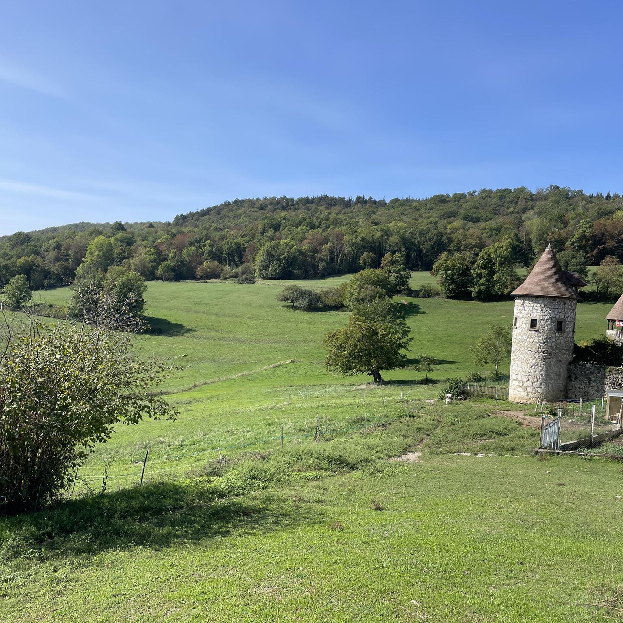
Hiking around Saint-Pierre-De-Curtille
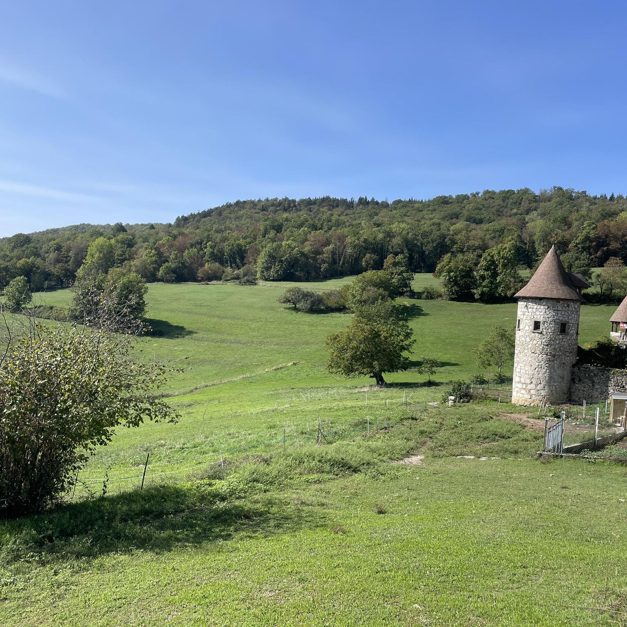
Road Cycling Routes around Saint-Pierre-De-Curtille
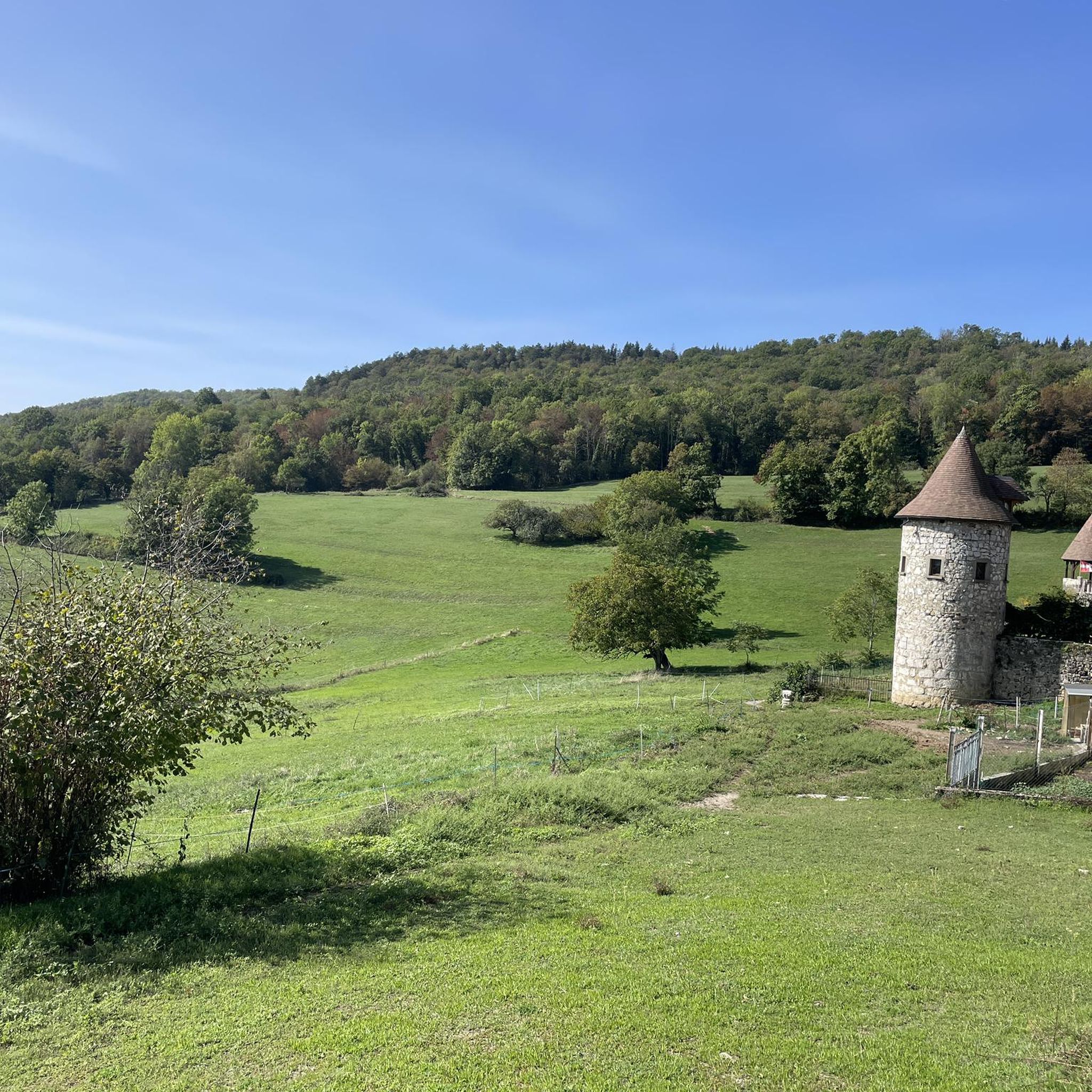
Cycling around Saint-Pierre-De-Curtille

Gravel biking around Saint-Pierre-De-Curtille
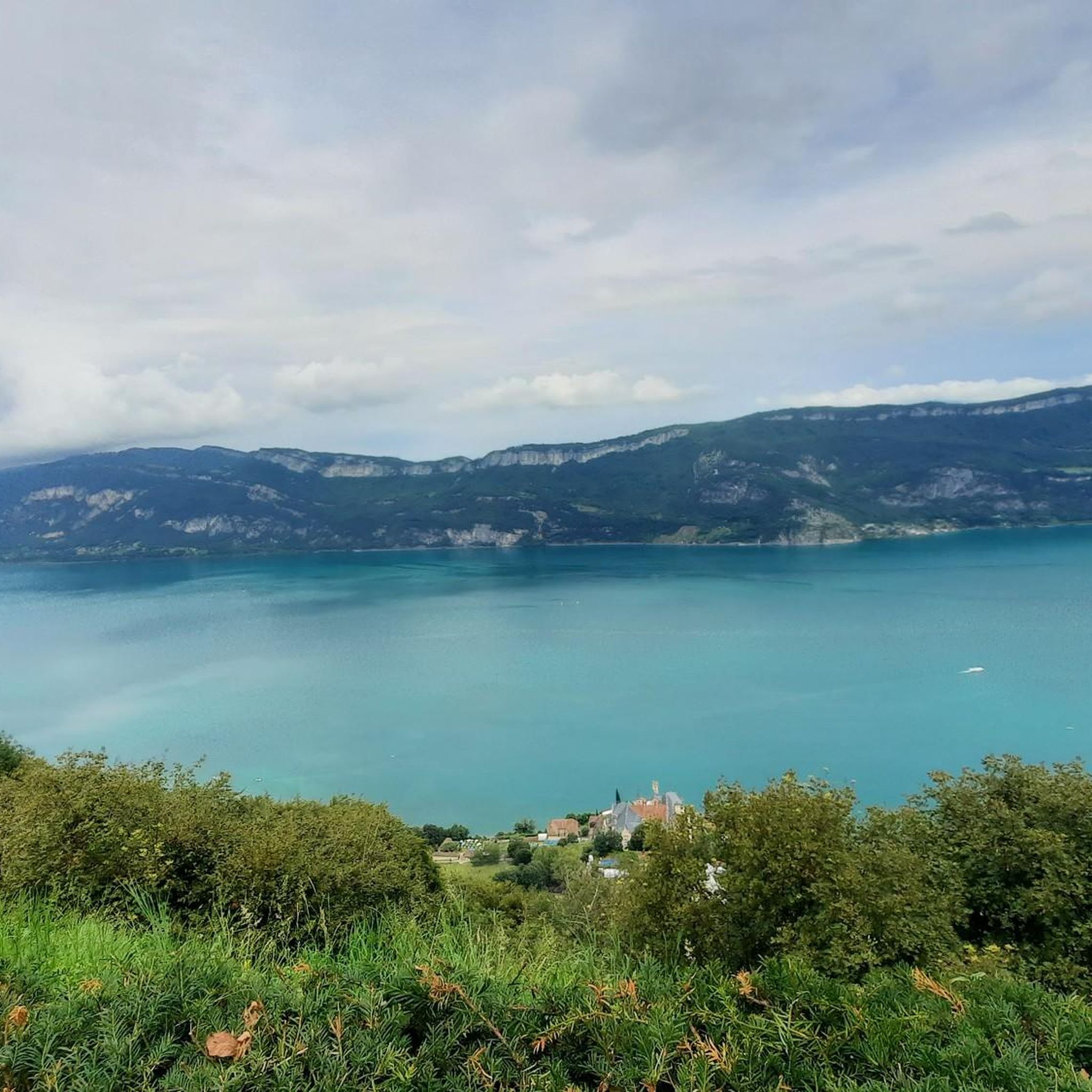
MTB Trails around Saint-Pierre-De-Curtille
Running Trails around Saint-Pierre-De-Curtille

Mountain Hikes around Saint-Pierre-De-Curtille
Tips from the Community

Great pass with very little traffic which allows you to enjoy a panorama in complete tranquility. The viewpoint at the summit offers a beautiful view of the Chautagne and Lake Bourget from the paragliding departure slope (accessible from a path from the parking lot up there) 🪂 Pass accessible 2km from Chindrieux station or 11km from Culoz station 🚃
0
0

It's a must-see place with a magnificent view of Lake Bourget.
1
0

There is a new section of the Via Rhona between Motz and Serriere en Chautagne. It is well signposted towards Motz and then winds through fields and parallel to the main road without much guidance.
2
0

Located on the heights of Mont Clergeon to the north of Lac du Bourget, the Col du Clergeon – 979 m – has the particularity of belonging to a non-Alpine massif, in this case that of Jura but also to the department of Savoie which is naturally affiliated with the Alps. WEST SIDE This slope starting at Ruffieux, located just opposite the Grand Colombier, has an air copied from that of its illustrious neighbor: certainly shorter with 8.8 km but at 8.5% on average! Around fifteen bends will help you climb the 728 m of positive altitude difference. Still count on a big passage of 1840 m at 10.5% to reach the Col du Clergeon at 979 m above sea level which marks the border with Haute-Savoie. EASTERN SIDE This slope starts at Rumilly in… Haute-Savoie. It offers a positive altitude difference equivalent to the western slope with 772 m but being longer with 15 km, the difficulty is a little less with an average slope of 6.5%. However, the ascent is tricky because it has 2 descents that will have to be climbed back up and a long passage of 3.4 km on a slope of between 8.5 and 9.5%. Small sweetness: the finale won't be too difficult. Sources: Alpes4ever
1
0
Magnificent pass, view of Lake Bourget all along.
1
0
Super pass, regular, with a view of the Bauges on the Cessens side.
1
0
nice walk through the forest of Moye
0
0
Frequently Asked Questions
What are some notable mountain passes around Saint-Pierre-De-Curtille?
The region offers several distinctive mountain passes. The Col du Chat (638 m) provides excellent views of Lac du Bourget during its ascent from the east side. Another prominent pass is Chambotte Pass, known for its panoramic views of Lac du Bourget, the Grand Colombier, and the Aravis range. Additionally, Col du Clergeon offers a quieter, forested climb between Chautagne and Rumilly.
What kind of views can I expect from the mountain passes in this region?
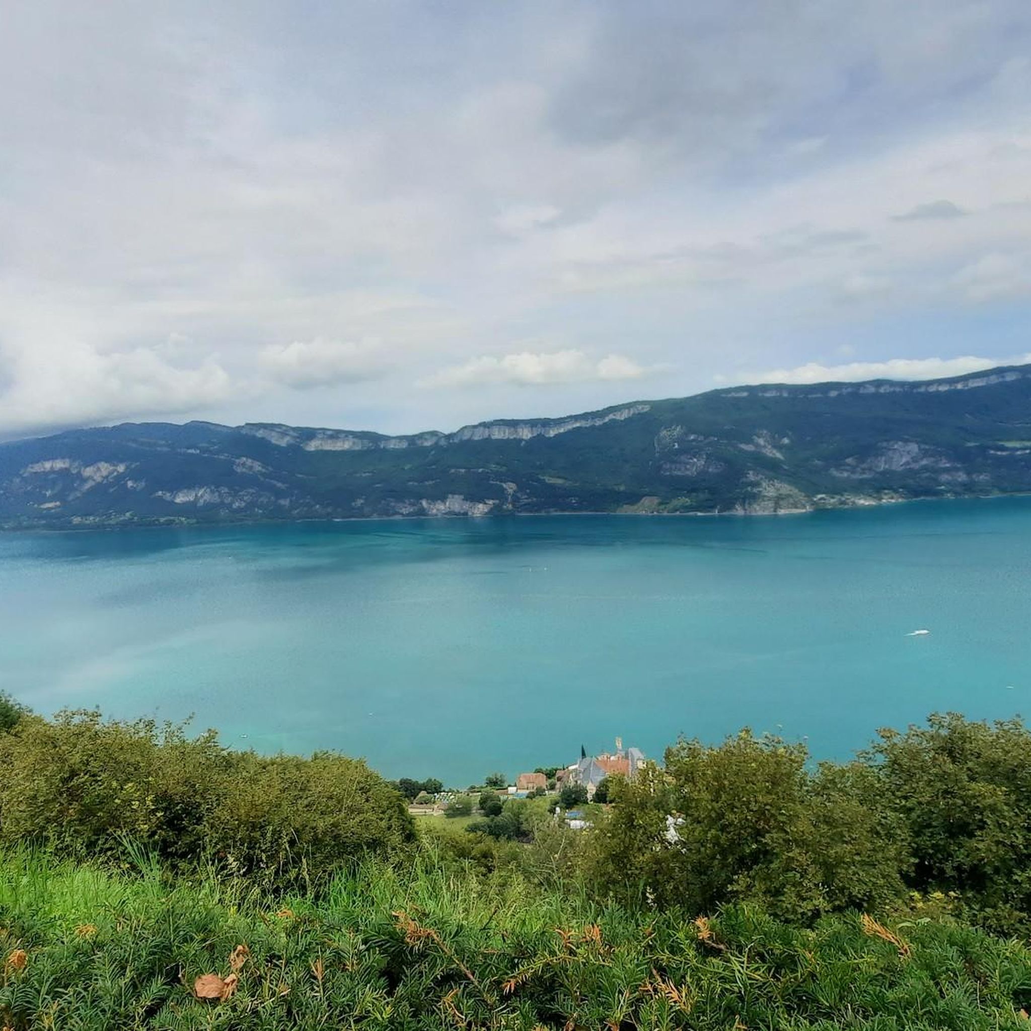
Many passes offer magnificent views of Lac du Bourget and the surrounding mountains. For instance, the Chambotte Pass provides continuous scenic vistas of the lake, and its nearby Belvedere offers a superb 360-degree panorama including the Grand Colombier and the Aravis range. The ascent to Col du Chat from the east also features fantastic lake views.
Are there challenging climbs for experienced cyclists?
Yes, the region is popular for road cycling with routes of varying difficulty. For a significant challenge, the Ascent of Col du Grand Colombier from Culoz is an 18-kilometer climb with sections reaching 14-15% gradients, famous for its tight switchbacks. Other passes like Col du Clergeon also offer tough climbs, particularly from the west side.
What outdoor activities can I do near these mountain passes?
The area around Saint-Pierre-De-Curtille is ideal for various outdoor activities. You can find numerous road cycling routes, mountain hikes, and MTB trails. For example, there are several road cycling loops like the "View of Lac du Bourget – Col du Chat loop from Ontex" and mountain hikes such as the "Col du Chat (Chat Pass) – Cat's Tooth loop from Bourdeau." You can explore more options on the Road Cycling Routes, Mountain Hikes, and MTB Trails guides for the region.
Are there any less-frequented mountain passes for a quieter experience?
If you prefer a quieter experience with less car traffic, Col du Clergeon is a good option. It's known for its quiet, forested climb and is less frequented compared to other passes like Chambotte. Similarly, Col du Sapenay is also described as a little-frequented pass, largely shaded, offering beautiful views of Lake Bourget.
What is the best time to visit the mountain passes around Saint-Pierre-De-Curtille?
To avoid heavy traffic, especially on popular routes like Chambotte Pass, it's recommended to visit outside the summer season. Spring and autumn generally offer pleasant weather for cycling and hiking, with fewer crowds and comfortable temperatures. Winter can bring snow, making some passes inaccessible or requiring specialized gear.
Are there any family-friendly options or easier routes?
While many passes offer intermediate to challenging routes, some areas provide easier sections or shorter walks. For example, the Col du Clergeon is noted as an ideal starting point for a short and quiet digestive walk. When planning, look for routes categorized as 'easy' or 'moderate' in the nearby activity guides, such as the "Route de La Chambotte – Canal de la Savière loop from Brison-Saint-Innocent" for road cycling.
Can I find places to eat or stay near the mountain passes?
The region around Saint-Pierre-De-Curtille and Lac du Bourget offers various amenities. While specific cafes or pubs directly at the summit of every pass might be limited, you'll find options in the nearby towns and villages. For instance, Chambotte Pass has a water point at the pass level. It's advisable to check local listings for accommodation and dining in Saint-Pierre-De-Curtille or other lakeside communities.
What do visitors enjoy most about the mountain passes in this area?
Visitors frequently praise the magnificent views, especially of Lac du Bourget, and the rewarding climbs. The continuous scenic vistas on ascents like Chambotte Pass are highly appreciated. Cyclists enjoy the varying levels of difficulty and the well-maintained routes, while hikers value the natural beauty and the sense of accomplishment from reaching viewpoints.
Are there specific tips for descending these mountain passes?
When descending, especially on passes like Chambotte Pass, be mindful of traffic, particularly during peak seasons. Some descents can be steep and winding, so caution is advised. Always ensure your brakes are in good condition and maintain a safe speed. For passes with significant elevation changes, like the Col du Grand Colombier, the switchbacks require careful navigation.
Are the mountain passes suitable for dog-friendly hiking?
Many natural areas in France are generally dog-friendly, especially on trails. However, specific regulations can vary by location or protected area. It's always best to keep dogs on a leash, especially in areas with wildlife or livestock, and to carry waste bags. Passes with forested sections, like Col du Clergeon, might offer more shaded and pleasant conditions for dogs.
Most popular routes around Saint-Pierre-De-Curtille
Most popular attractions around Saint-Pierre-De-Curtille

Get inspired with the komoot mobile app


Explore more
See even more epic mountain passes by checking out these guides around Saint-Pierre-De-Curtille:
