The best running trails around Saint-Sylvestre
4.4
(197)
13,396
runners
447
runs
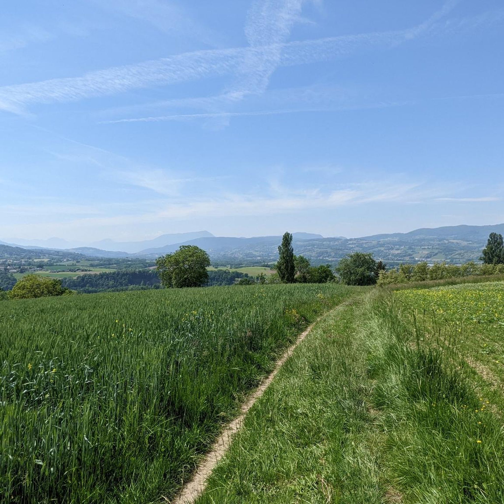
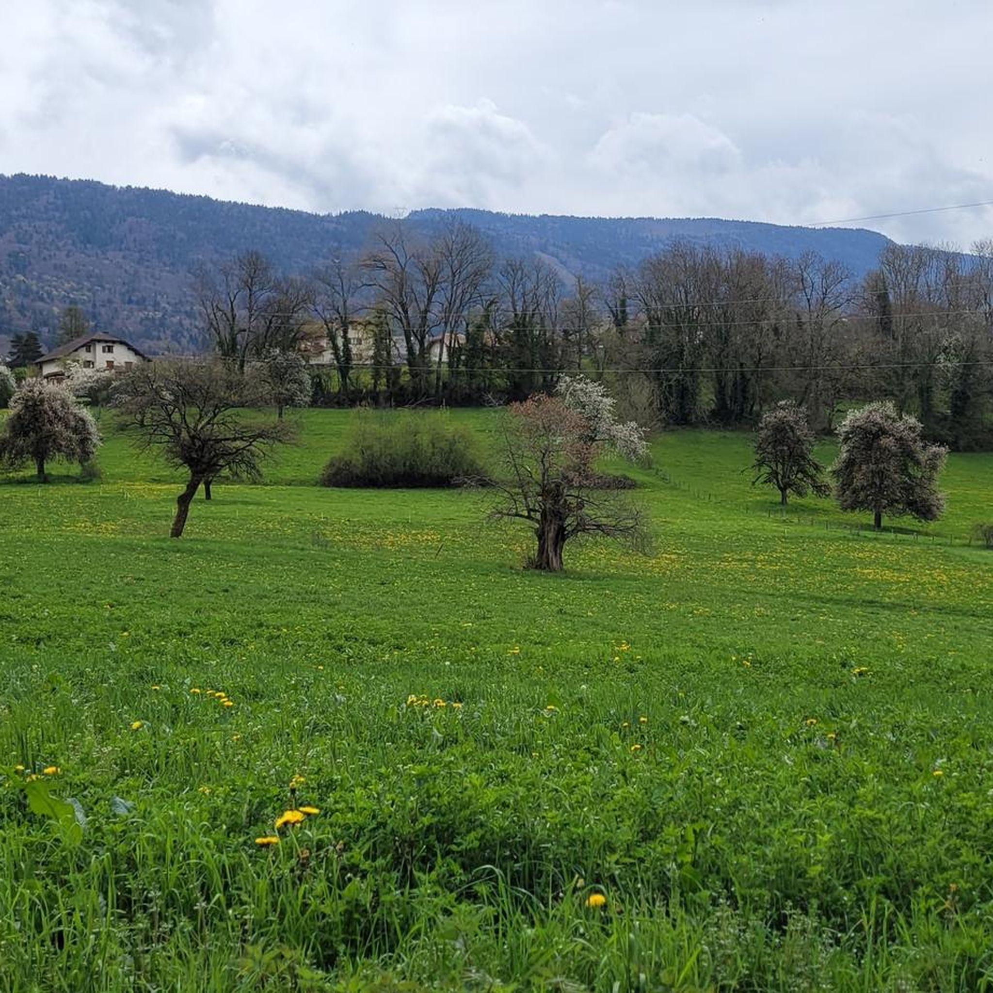
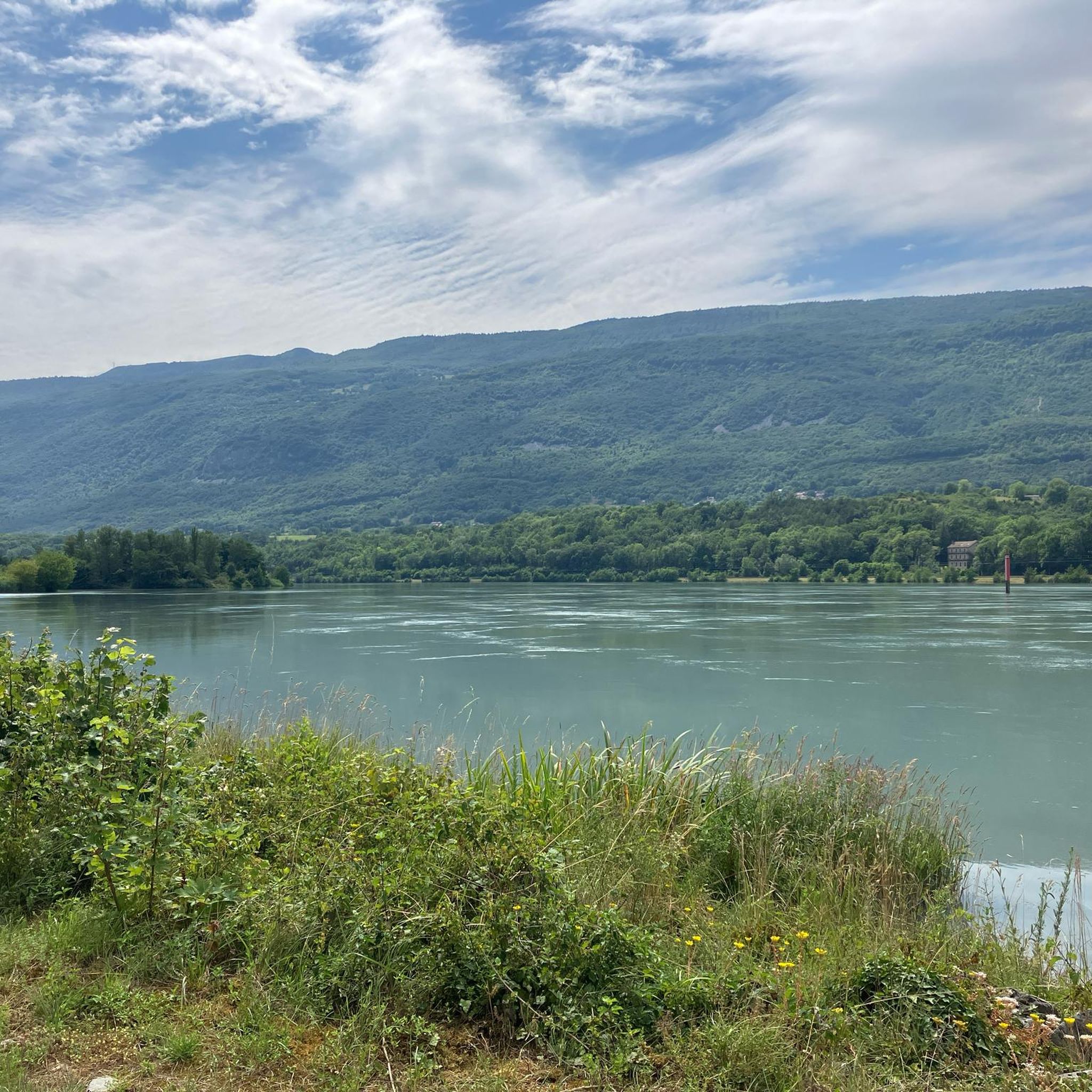
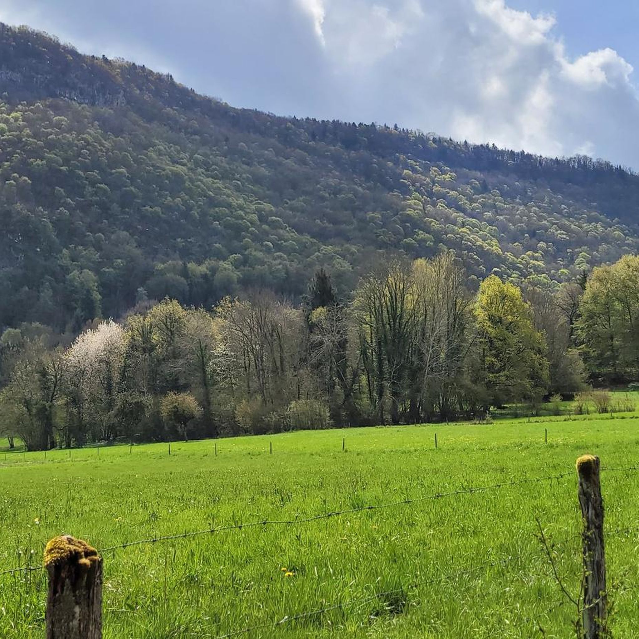
Jogging routes Saint-Sylvestre France traverse a mountainous environment, with elevations ranging from 355 to 688 meters. The Chéran river forms a natural boundary, offering opportunities for riverside running. The varied terrain includes paths with elevation changes and scenic views of the surrounding mountains.
Best jogging routes around Saint-Sylvestre
- The most popular jogging route is Scenic small road loop from Chapeiry, a 6.3 miles (10.1 km) trail that takes 1 hour 06 minutes to complete. This route offers varied terrain…
Last updated: October 7, 2026
11
runners
8.35km
00:54
110m
110m
Moderate run. Good fitness required. Mostly paved surfaces. Suitable for all skill levels.
6
runners
8.89km
00:57
140m
140m
Moderate run. Good fitness required. Mostly paved surfaces. Suitable for all skill levels.

5
runners
7.94km
00:53
180m
180m
Moderate run. Good fitness required. Mostly paved surfaces. Suitable for all skill levels.
3
runners
6.36km
00:53
250m
240m
Moderate run. Good fitness required. Mostly paved surfaces. Suitable for all skill levels.
5.0
(1)
4
runners
10.1km
01:06
190m
190m
Moderate run. Good fitness required. Mostly paved surfaces. Suitable for all skill levels.
Get access to more routes and recommendations from other explorers.
Already have an account?
Our route recommendations are based on thousands of hikes, rides, and runs completed by other people on komoot.
Start today with a free account
Your next adventure awaits.

Tips from the Community

A nice road choice to get out of Annecy towards the Gorge de Fer and Aix-Le-Bains.
1
0
Frequently Asked Questions
How many running routes are available around Saint-Sylvestre?
There are over 450 running routes available around Saint-Sylvestre, offering a wide variety of options for all skill levels.
What kind of terrain can I expect on the jogging routes in Saint-Sylvestre?
The jogging routes in Saint-Sylvestre, particularly in the Haute-Savoie region, traverse a mountainous environment with elevations ranging from 355 to 688 meters. You can expect varied topography, including paths with inclines and scenic views, as well as riverside paths along the Chéran river.
Are there any easy or beginner-friendly running routes in Saint-Sylvestre?
Yes, Saint-Sylvestre offers a good selection of easier routes. There are 42 routes classified as 'easy', perfect for beginners or those looking for a less strenuous run. Many routes also feature moderate difficulty, providing a balanced challenge.
What do other runners say about the trails in Saint-Sylvestre?
The running routes in Saint-Sylvestre are highly rated by the komoot community, with an average score of 4.4 stars from over 180 reviews. More than 13,000 runners have used komoot to explore the varied terrain, often praising the scenic views and diverse landscapes.
Are there any circular running routes in Saint-Sylvestre?
Yes, many of the routes around Saint-Sylvestre are designed as loops. For example, the Running loop from Chapeiry is a popular 8.3 km circular route, and the Running loop from Saint-Sylvestre offers a 7.9 km loop through local landscapes.
Can I find running routes that pass by natural landmarks or offer scenic viewpoints?
Absolutely. The mountainous environment of Saint-Sylvestre provides numerous opportunities for scenic runs. You can find routes with views of Lake Annecy, such as from the View from Croix du Chef-Lieu overlooking Lake Annecy, or explore areas near the Fier Gorge. The region also features summits like Col du Semnoz summit, which can be incorporated into longer, more challenging runs.
Are there any running routes suitable for families or those with children?
While specific family-friendly routes are not detailed, the presence of 'easy' graded routes suggests options suitable for families. Look for routes with lower elevation gain and shorter distances, such as some of the 42 easy routes available, which would provide a more relaxed experience for all ages.
What is the best time of year for jogging in Saint-Sylvestre?
The region experiences a climate that transitions between oceanic and mountain, suggesting diverse flora and fauna throughout the seasons. Spring and autumn generally offer pleasant temperatures for running, with vibrant natural scenery. Summer can be warm, especially at lower elevations, while winter might bring snow to higher mountainous areas, offering different challenges and views.
Are there any riverside running paths in Saint-Sylvestre?
Yes, the Chéran river forms the southern border of Saint-Sylvestre in Haute-Savoie, indicating opportunities for peaceful, flat jogs alongside the water. These riverside paths are ideal for scenic and tranquil runs.
Are there any running routes that include a lake or pond?
Yes, a notable route is the Crosagny Pond – Étang de Crosagny loop from Marigny-Saint-Marcel. This moderate 8.9 km path features a scenic loop around Crosagny Pond, offering beautiful waterside views during your run.
What are the typical distances and durations for running routes in Saint-Sylvestre?
Running routes in Saint-Sylvestre vary in length and duration. For example, the Scenic small road loop from Chapeiry is 10.1 km and takes about 1 hour 06 minutes, while the Running loop from Alby-sur-Chéran is 8.9 km and typically takes around 1 hour. You'll find options ranging from shorter, easier jogs to longer, more challenging runs.
Are there any specific challenges or considerations for running in the mountainous terrain of Saint-Sylvestre?
The mountainous terrain means you should be prepared for elevation changes and potentially varied surfaces. While many routes are moderate, some can be more challenging. Always check the route details for elevation gain and difficulty before heading out, and wear appropriate footwear for trail running.
Most popular routes around Saint-Sylvestre
Most popular attractions around Saint-Sylvestre

Get inspired with the komoot mobile app


Explore more
Browse the best Running Trails & Routes in other regions.
