The best mountain hikes around La Motte-Servolex
4.8
(20)
124
hikers
15
hikes
Mountaineering routes around La Motte-Servolex traverse a landscape characterized by the foothills of the Alps, featuring prominent peaks, mountain passes, and rocky ascents. The region offers varied terrain, from forested slopes to exposed rock faces, providing diverse challenges for mountaineers. This area is situated near Chambéry, offering access to the Chartreuse and Bauges massifs, known for their limestone formations and alpine environments.
Best mountaineering routes around La Motte-Servolex
- The most popular mountaineering route is Col du Chat (Chat Pass) – Cat's Tooth loop from Bourdeau, a 4.6 miles (7.4 km) trail that takes about 4 hours to complete. This difficult route includes significant elevation gain and offers views from a prominent mountain pass.
- Another top favourite among local mountaineers is Mount Kamuniak – Nivolet Cross loop from Chambéry, an easy 3.9 miles (6.3 km) path. This route leads to a summit cross, providing panoramic vistas over the surrounding area.
- Local mountaineers also love the Via ferrata La Grotte à Carret – Via ferrata ptchi loop from Les Déserts, a 2.4 miles (3.8 km) trail leading through rocky terrain, often completed in about 2 hours. This difficult route involves protected climbing sections.
- Mountaineering around La Motte-Servolex is defined by mountain passes, prominent peaks, and challenging via ferrata sections. The network offers options for various ability levels, from easy ascents to difficult technical routes.
- The routes in La Motte-Servolex are highly rated by the komoot community with an average score of 4.8 stars from over 10 reviews. More than 100 mountaineers have used komoot to explore La Motte-Servolex's varied terrain.
Last updated: October 18, 2026
4.5
(4)
23
hikers
7.43km
04:00
660m
660m
Hard mountaineering route. Good fitness required. Sure-footedness, sturdy shoes and alpine experience required.
4.0
(2)
19
hikers
6.40km
01:52
180m
170m
Easy mountaineering route. Great for any fitness level. Easily-accessible paths. Suitable for all skill levels.

5.0
(5)
15
hikers
3.79km
01:56
290m
290m
Hard mountaineering route. Great for any fitness level. Sure-footedness, sturdy shoes and alpine experience required.
18
hikers
Hard mountaineering route. Good fitness required. Sure-footedness, sturdy shoes and alpine experience required.
5.0
(1)
9
hikers
4.51km
01:31
180m
180m
Moderate mountaineering route. Great for any fitness level. Mostly accessible paths. Sure-footedness required.
Get access to more routes and recommendations from other explorers.
Already have an account?
Our route recommendations are based on thousands of hikes, rides, and runs completed by other people on komoot.
Start today with a free account
Your next adventure awaits.

Tips from the Community

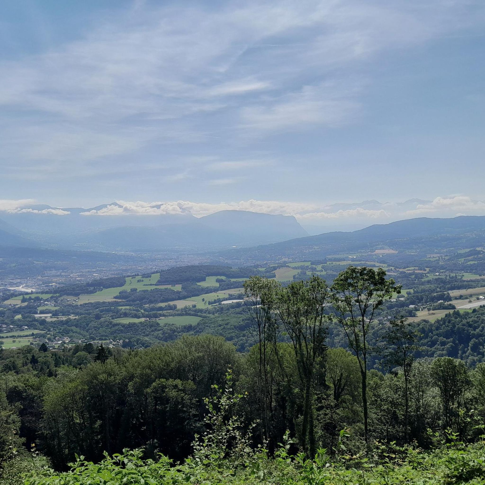
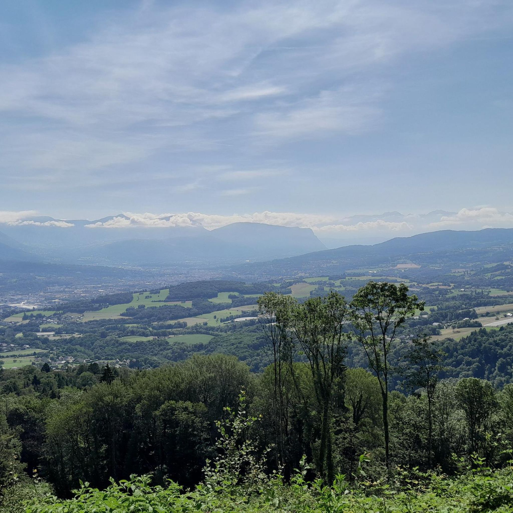
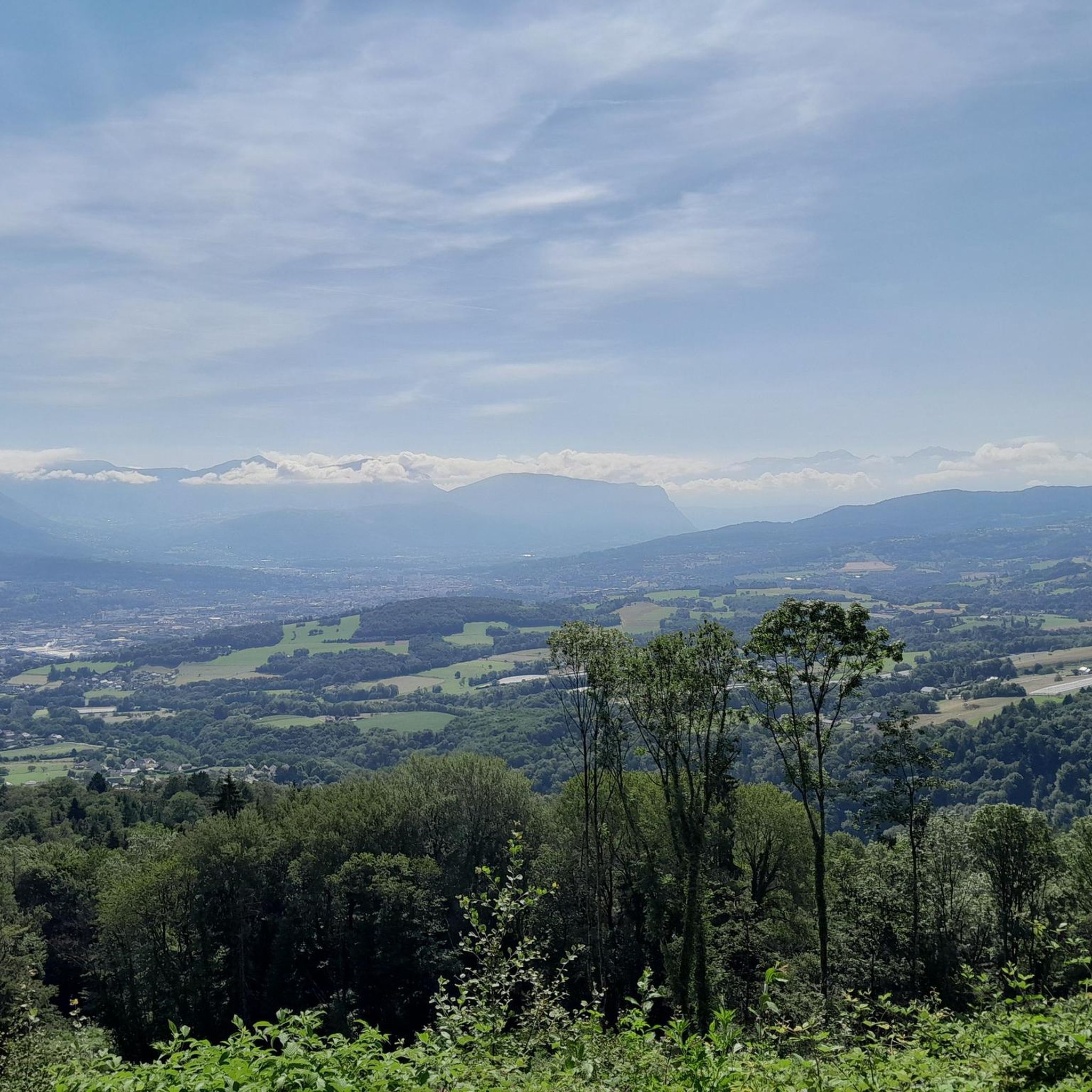
Panoramic view, over the Savoyard pre-Alps, the lake, the Dent du Chat, le Revard, Croix du Nivollet and in clear weather even as far as Mont Blanc! The route does not require any particular physical condition but requires vigilance to place your feet well in order to avoid rocks and roots on the path.
0
0


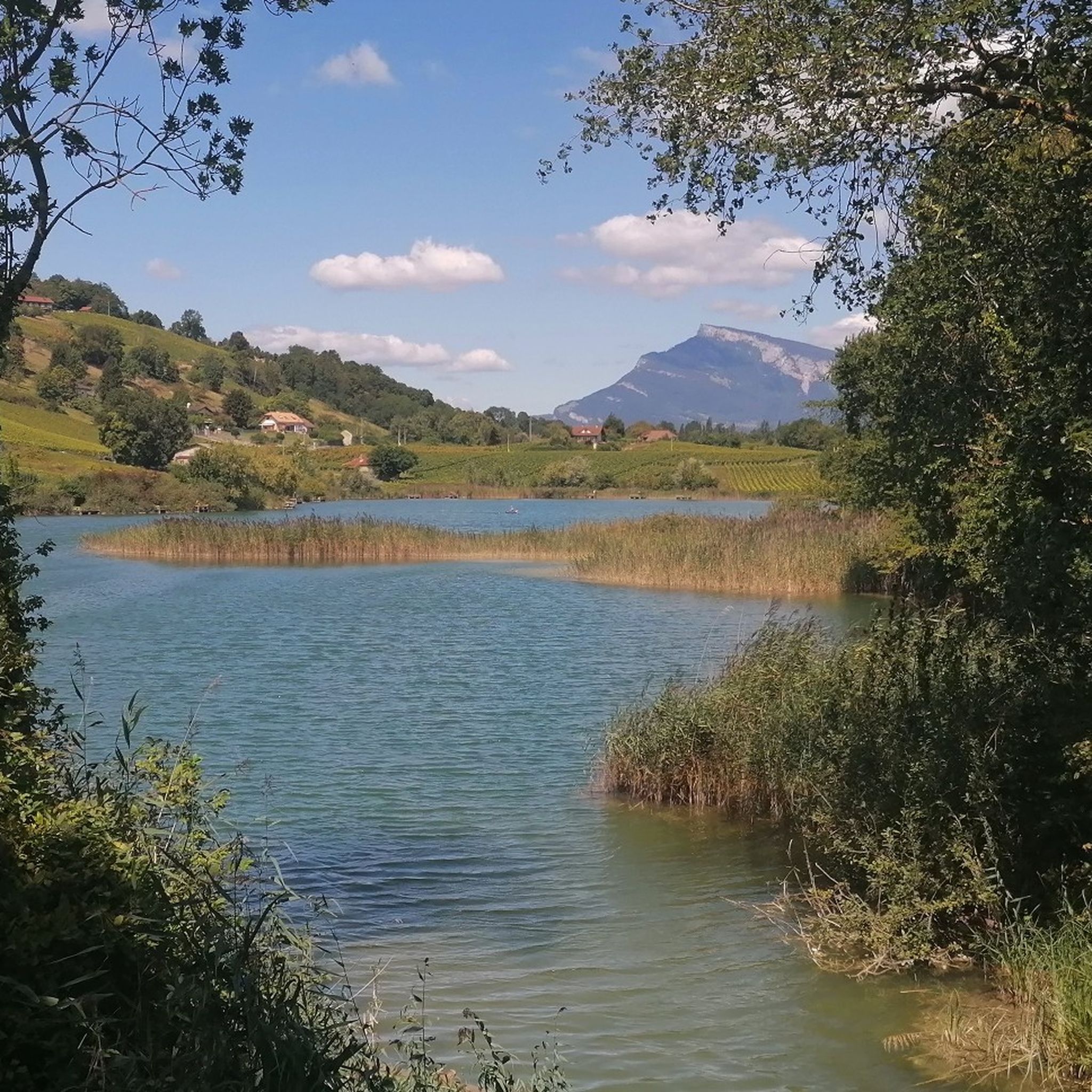
Magnificent view of Chambéry and Lake Bourget A lovely picnic area
0
0

Beautiful view of the lake.
0
0
Beautiful view of the lake.
0
0

Don't forget that even if it's in the mid-mountains, you need to be equipped for the weather, good shoes, and good physical condition.
0
0

It's a must-see place with a magnificent view of Lake Bourget.
1
0
Frequently Asked Questions
How many mountaineering routes are available around La Motte-Servolex?
There are over 15 mountaineering routes around La Motte-Servolex, offering a variety of challenges and scenic views across the Chartreuse and Bauges massifs.
What are the difficulty levels of mountaineering routes in the area?
The routes around La Motte-Servolex cater to various skill levels. You'll find 1 easy route, 4 moderate routes, and 11 difficult routes, including technical via ferrata sections.
What is the typical duration for mountaineering routes near La Motte-Servolex?
Mountaineering routes in this region vary significantly in length and duration. For example, the Mount Kamuniak – Nivolet Cross loop from Chambéry is an easy route that takes about 1 hour 50 minutes, while the Via ferrata ptchi – Croix du Nivolet loop from Grande Cascade de la Doria is a difficult route that can take over 5 hours 30 minutes.
Are there any easy mountaineering routes suitable for beginners or families?
Yes, for those seeking an easier experience, the Mount Kamuniak – Nivolet Cross loop from Chambéry is an excellent choice. This 3.9-mile (6.3 km) path is rated easy and leads to a summit cross with panoramic views, making it suitable for beginners or families looking for a less strenuous ascent.
What do other mountaineers say about the routes around La Motte-Servolex?
The mountaineering routes around La Motte-Servolex are highly regarded by the komoot community, with an average rating of 4.8 stars from 19 reviews. Users frequently praise the diverse terrain, from forested slopes to challenging rock faces, and the stunning views from prominent peaks and passes.
Are there challenging routes for experienced mountaineers?
Absolutely. For experienced mountaineers, there are 11 difficult routes available. A notable option is the Via ferrata La Grotte à Carret – Via ferrata ptchi loop from Grande Cascade de la Doria, which involves protected climbing sections and significant elevation gain, offering a true alpine challenge.
Are there circular mountaineering routes in La Motte-Servolex?
Yes, many of the mountaineering routes in the area are circular, allowing you to start and end at the same point. An example is the Col du Chat (Chat Pass) – Cat's Tooth loop from Bourdeau, which offers a challenging loop with rewarding views.
What kind of natural attractions can I see along the mountaineering routes?
The region is rich in natural beauty. Along your mountaineering routes, you might encounter stunning features like the Waterfalls on the Nant du Pontet or the impressive Cascade de la Doriaz. The landscape is characterized by limestone formations, gorges, and alpine environments.
Are there any caves or gorges to explore near the mountaineering trails?
Yes, the area around La Motte-Servolex is known for its geological features. You can explore fascinating sites such as François I's Cave or the dramatic Camelot Gorge, which are often close to or accessible from various mountaineering paths.
What makes the mountaineering experience unique in La Motte-Servolex?
Mountaineering in La Motte-Servolex is unique due to its location at the foothills of the Alps, offering a blend of prominent peaks, mountain passes, and challenging via ferrata sections. The proximity to the Chartreuse and Bauges massifs provides diverse terrain, from forested ascents to exposed rock faces, all within a relatively compact area.
Are there any hidden gems or less-trafficked routes for mountaineering?
While specific 'hidden gems' are often discovered through personal exploration, routes that are slightly longer or more technically demanding tend to be less crowded. Consider exploring some of the more difficult routes like the Via ferrata ptchi – Croix du Nivolet loop from Grande Cascade de la Doria for a more secluded experience.
Most popular routes around La Motte-Servolex
Most popular attractions around La Motte-Servolex

Get inspired with the komoot mobile app


Explore more
Browse the best Mountain Hikes & Routes in other regions.
