The best walks and hikes around Saint-Jean-D'Avelanne
4.5
(648)
3,770
hikers
208
hikes
Hiking around Saint-Jean-D'Avelanne offers a variety of trails through its varied landscape. The region, situated in the Isère department, is characterized by rolling hills, dense woodlands, and open viewpoints, providing diverse settings for outdoor exploration. These hiking trails Saint-Jean-D'Avelanne often feature moderate elevation changes, making them accessible for different fitness levels.
Best hiking trails around Saint-Jean-D'Avelanne
- The most popular hiking route is Monument Sacré Coeur — loop from La Roche, a 4.3 miles (6.9 km) trail that takes 2…
Last updated: July 1, 2026
4.5
(6)
25
hikers
6.87km
02:10
260m
260m
Moderate hike. Good fitness required. Easily-accessible paths. Suitable for all skill levels.
5.0
(3)
23
hikers
4.73km
01:26
160m
160m
Easy hike. Great for any fitness level. Easily-accessible paths. Suitable for all skill levels.

Sign up for free
4.0
(6)
13
hikers
9.67km
02:45
210m
210m
Moderate hike. Good fitness required. Easily-accessible paths. Suitable for all skill levels.
5.0
(3)
11
hikers
8.54km
02:27
200m
200m
Moderate hike. Good fitness required. Easily-accessible paths. Suitable for all skill levels.
10
hikers
11.2km
03:13
250m
250m
Moderate hike. Good fitness required. Easily-accessible paths. Suitable for all skill levels.
Get access to more routes and recommendations from other explorers.
Sign up for free
Already have an account?
Our route recommendations are based on thousands of hikes, rides, and runs completed by other people on komoot.
Start today with a free account
Your next adventure awaits.
Login or Signup


Tips from the Community

A small observation deck at the top of the religious site. Unfortunately, the surrounding area would benefit from being cleared of trees to fully appreciate the view, as the panorama is limited by vegetation. It's best to visit in winter to be less bothered by the foliage.
0
0

Natural crossing between 2 trees
0
0

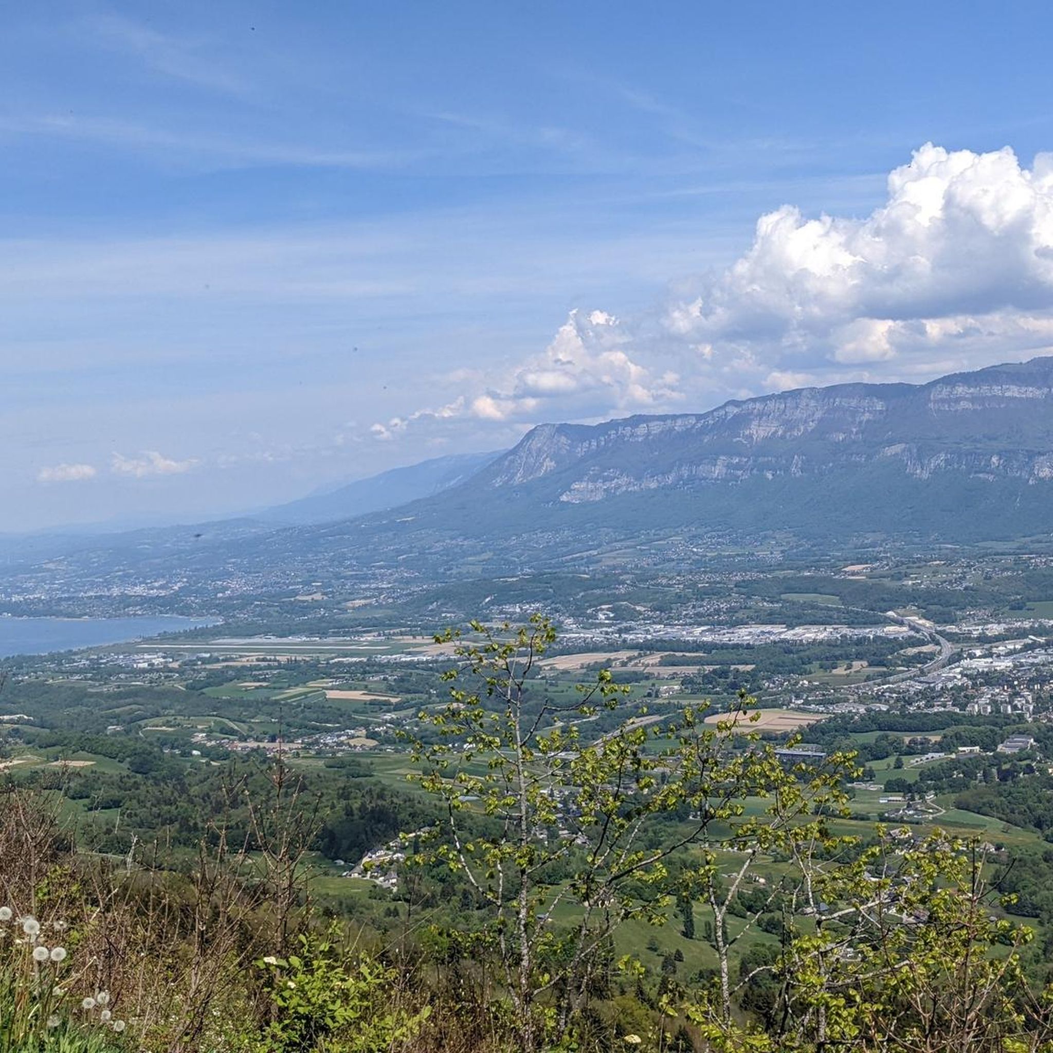
Beautiful view of the mountains looming above the trees and fields.
2
0
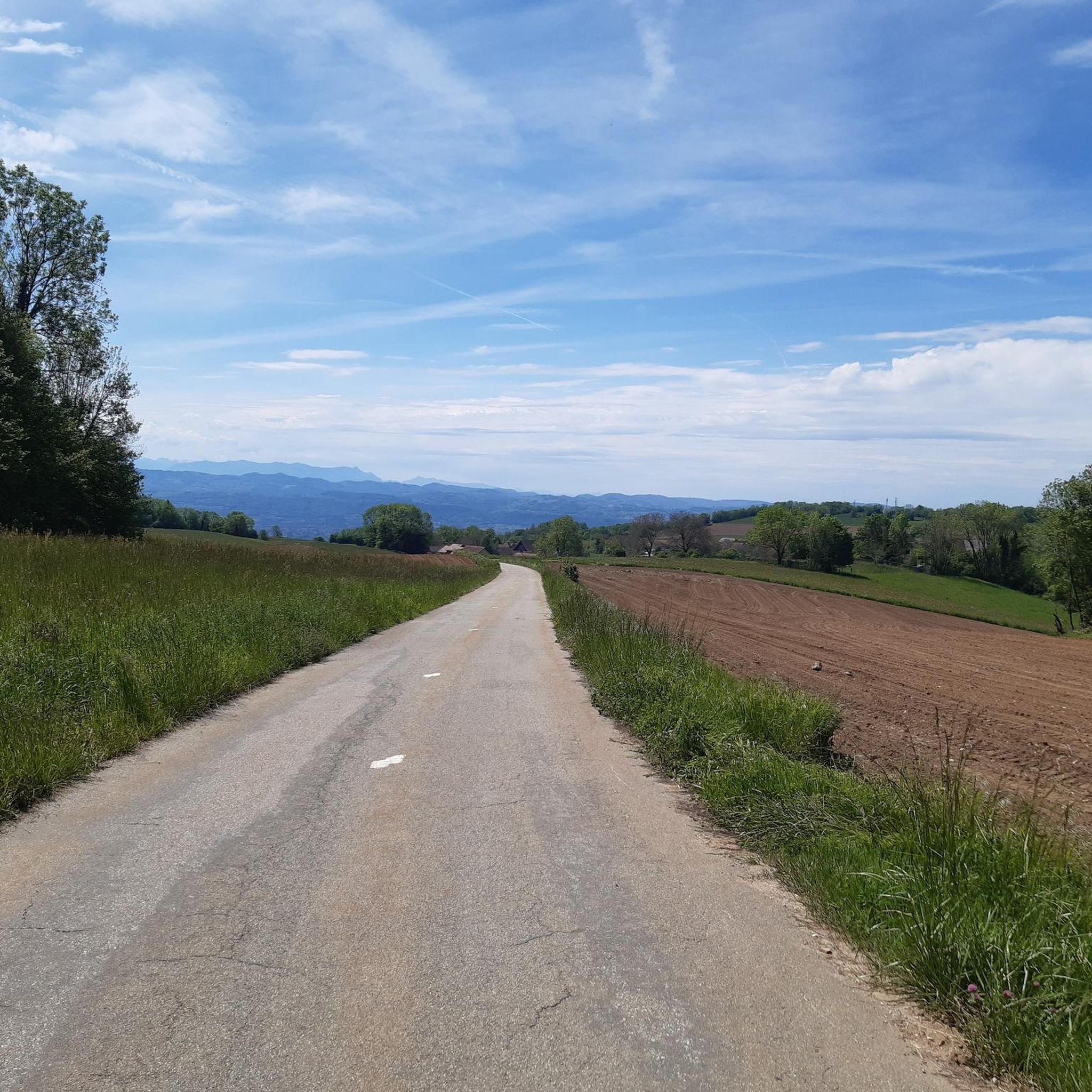
Green fields and rolling hills crowned by distant mountains.
2
0
A religious monument coupled with a magnificent observation platform. A must see.
2
0


Theater is played in the middle of the forest.
12
0
Frequently Asked Questions
How many hiking trails are available around Saint-Jean-D'Avelanne?
There are over 200 hiking routes around Saint-Jean-D'Avelanne, offering a wide variety of options for different preferences and fitness levels. This includes 61 easy trails, 133 moderate routes, and 10 more challenging excursions.
Are there any easy hikes suitable for beginners or families in Saint-Jean-D'Avelanne?
Yes, Saint-Jean-D'Avelanne offers many easy trails perfect for beginners or families. These routes typically feature gentle elevation changes and well-maintained paths. An example is the Sacré Coeur Monument – Viewpoint loop from Saint-Martin-de-Vaulserre, which is a moderate 8.5 km (5.3 miles) path with scenic views.
What kind of natural landmarks or attractions can I see along the trails?
The region around Saint-Jean-D'Avelanne features several interesting natural and historical landmarks. You can explore sites like the Grenant Stream, the impressive Waterfalls of the Ruisseau de la Pissoire, or the ancient Dolmen de l'Antillière. The Rochefort Cliffs also offer dramatic natural scenery.
Are there any circular hiking routes in the area?
Many of the trails around Saint-Jean-D'Avelanne are designed as circular routes, allowing you to start and end at the same point without retracing your steps. For instance, the Ancien Lavoir loop from Pressins is a moderate 10.6 km (6.6 miles) circular hike that takes you through varied landscapes.
What is the best time of year to go hiking in Saint-Jean-D'Avelanne?
The best time to hike in Saint-Jean-D'Avelanne is generally from spring through autumn (April to October). During these months, the weather is typically mild and pleasant, with lush greenery in spring and vibrant colors in autumn. Summer offers longer daylight hours, though some trails might be warmer.
What do other hikers say about the trails in Saint-Jean-D'Avelanne?
The hiking trails in Saint-Jean-D'Avelanne are highly regarded by the komoot community, with an average rating of 4.4 out of 5 stars from over 500 reviews. Hikers often praise the region's diverse scenery, well-maintained paths, and the peaceful atmosphere of its woodlands and open viewpoints.
Are the hiking trails in Saint-Jean-D'Avelanne dog-friendly?
Most trails in the Saint-Jean-D'Avelanne region are dog-friendly, but it's always recommended to keep your dog on a leash, especially when passing through agricultural areas or near wildlife. Be sure to carry water for your pet, particularly on longer routes or during warmer weather.
Are there any mountain passes or higher elevation points to explore?
Yes, the region includes several mountain passes that offer different hiking experiences and often provide expansive views. Notable passes include the Col du Banchet, Col des Mille Martyrs, and the Crusille Pass (573 m). These areas can offer more challenging terrain and different perspectives of the landscape.
Are there opportunities for refreshments or cafes along the hiking routes?
While many routes in Saint-Jean-D'Avelanne traverse natural and rural areas, some trails may pass through or near small villages where you can find local cafes or bakeries. It's advisable to check the route details beforehand and carry sufficient water and snacks, especially on longer excursions, as amenities might not be directly on every trail.
Is public transport available to access the trailheads?
Access to trailheads in Saint-Jean-D'Avelanne primarily relies on personal vehicles due to the rural nature of the area. While some local bus services might connect larger towns, direct public transport to all trail starting points can be limited. Checking local transport schedules in advance is recommended if you plan to use public transport.
What are the typical durations for hikes in this region?
Hiking durations in Saint-Jean-D'Avelanne vary widely depending on the trail's length and difficulty. Easy routes can take as little as 1-2 hours, while moderate trails often range from 2-4 hours. Longer or more challenging hikes can extend to 4 hours or more, offering options for both short strolls and full-day adventures.
Most popular routes around Saint-Jean-D'Avelanne
Most popular attractions around Saint-Jean-D'Avelanne

Get inspired with the komoot mobile app


Explore more
Browse the best Hikes in other regions.
