The best running trails around Saint-Pierre-De-Genebroz
4.3
(76)
2,578
runners
179
runs
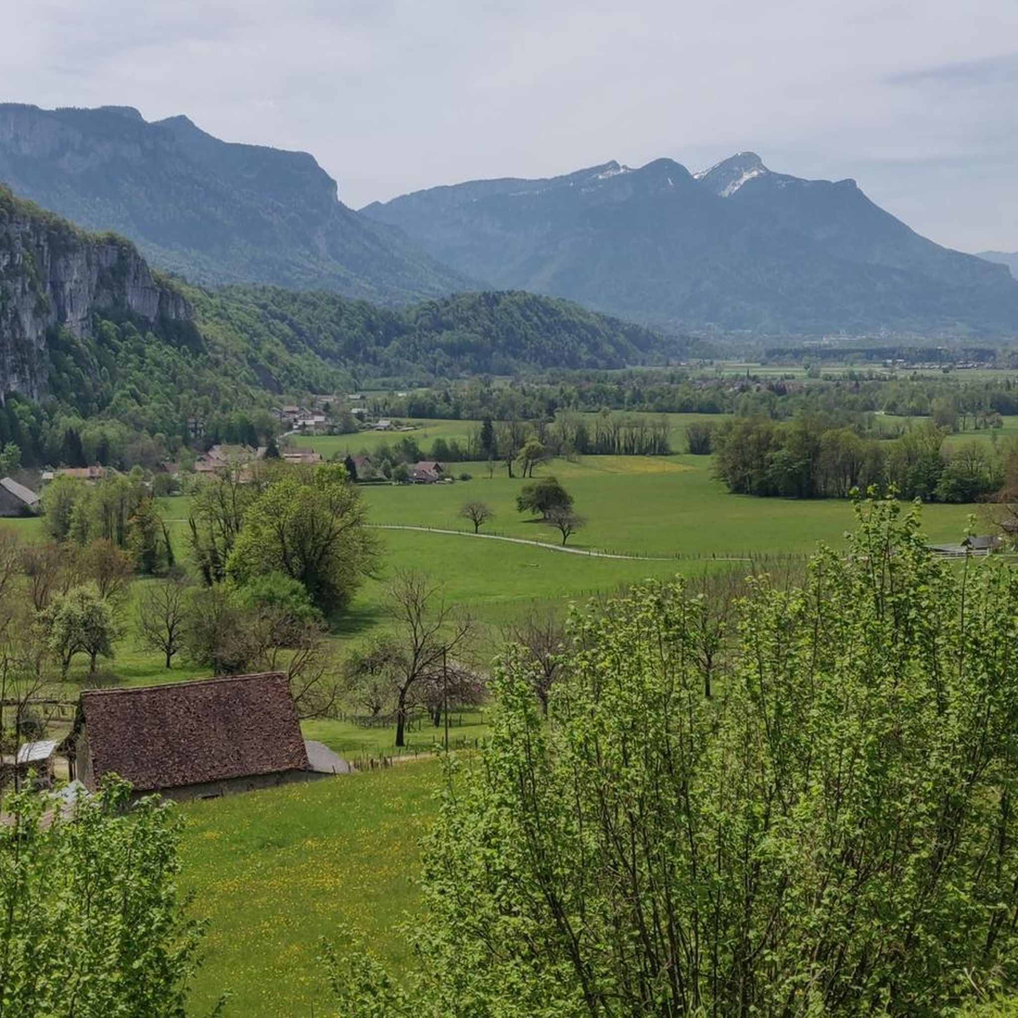
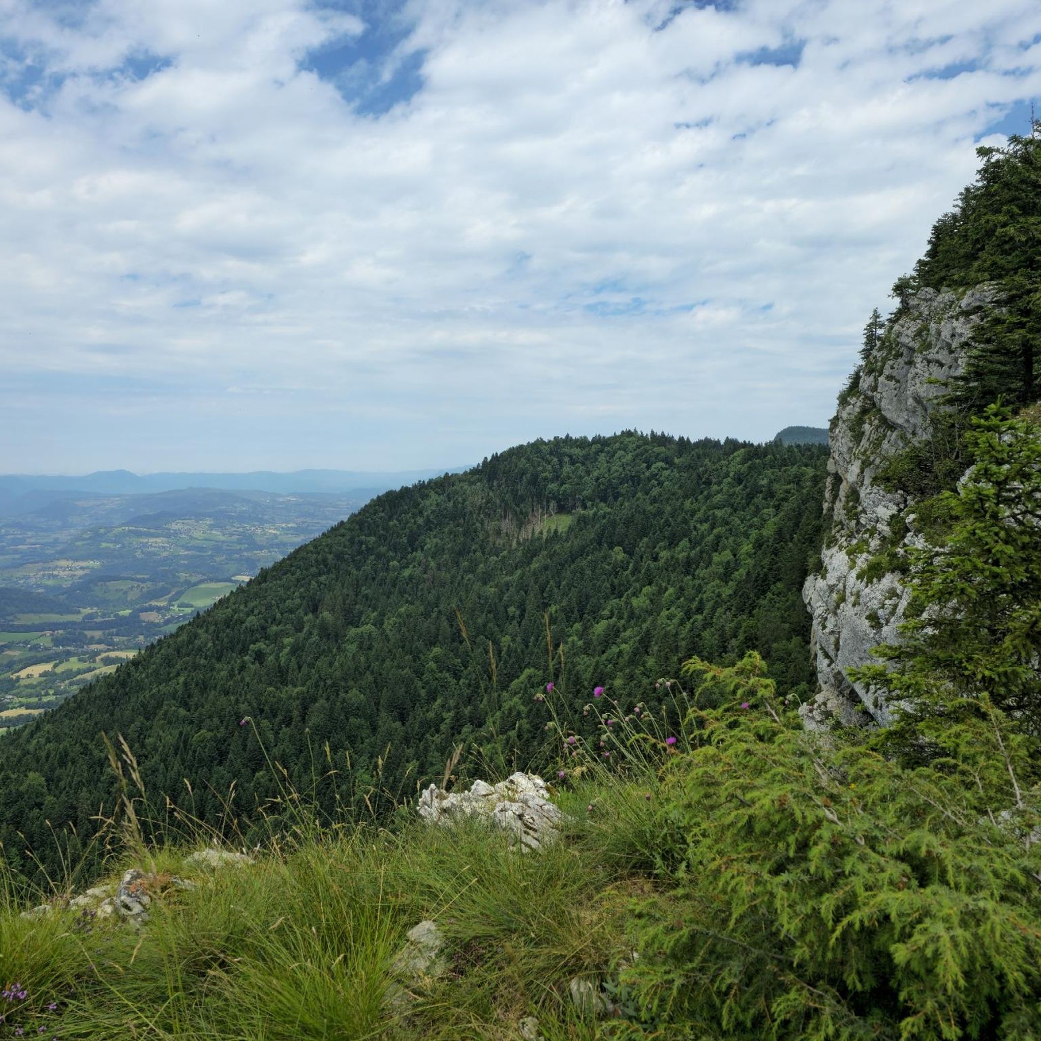
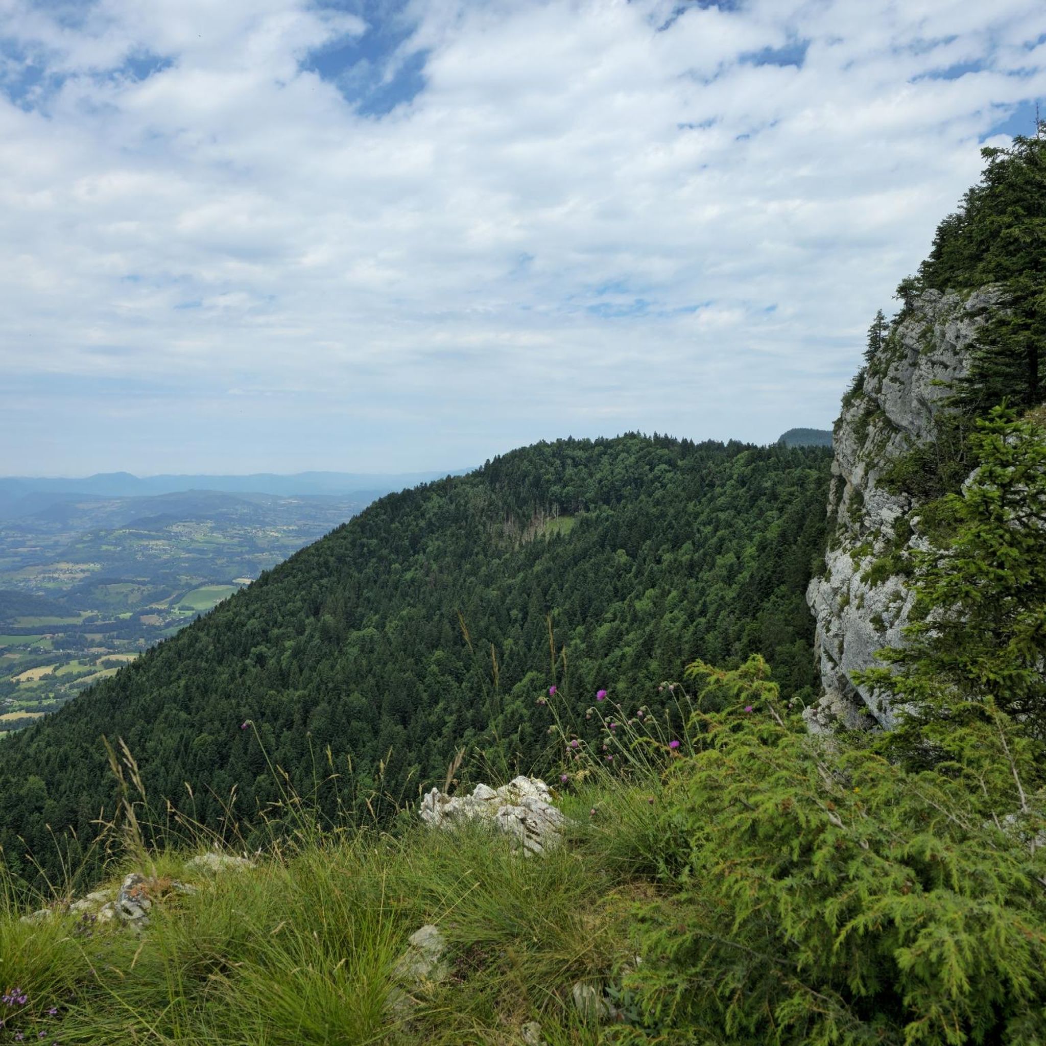
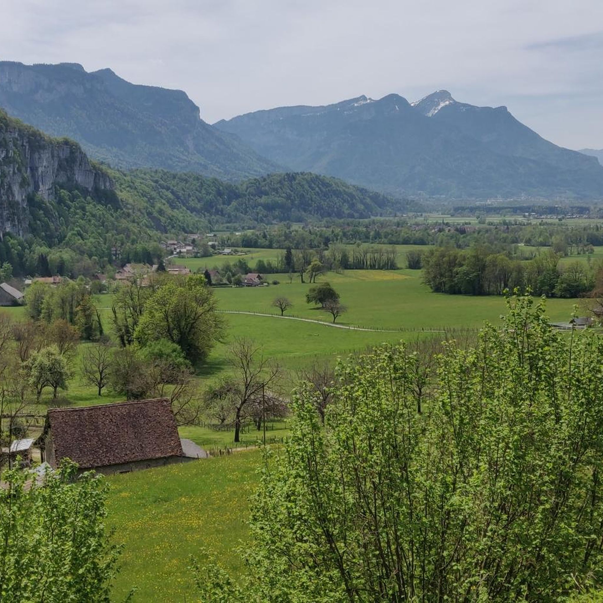
Jogging routes around Saint-Pierre-De-Genebroz offer diverse terrain within the Savoie department of the Auvergne-Rhône-Alps region. The area features varied altitudes, ranging from 380m to 1313m, providing options for different levels of physical exertion. Runners can explore paths through forests, along ridges, and near natural features like Lac d'Aiguebelette and the Gorges. This landscape includes mountainous areas and offers a refreshing atmosphere for outdoor activities.
Best jogging routes around Saint-Pierre-De-Genebroz
- The most popular jogging route is Running loop from Entre-deux-Guiers,…
Last updated: July 1, 2026
4.0
(2)
22
runners
6.49km
00:41
30m
30m
Moderate run. Good fitness required. Mostly paved surfaces. Suitable for all skill levels.
17
runners
Moderate run. Good fitness required. Mostly paved surfaces. Suitable for all skill levels.

Sign up for free
5.0
(3)
17
runners
Hard run. Very good fitness required. Mostly paved surfaces. Suitable for all skill levels.
16
runners
7.79km
00:49
60m
60m
Moderate run. Good fitness required. Mostly paved surfaces. Suitable for all skill levels.
5.0
(1)
10
runners
Moderate run. Good fitness required. Mostly paved surfaces. Suitable for all skill levels.
Get access to more routes and recommendations from other explorers.
Sign up for free
Already have an account?
Our route recommendations are based on thousands of hikes, rides, and runs completed by other people on komoot.
Start today with a free account
Your next adventure awaits.
Login or Signup
Popular around Saint-Pierre-De-Genebroz
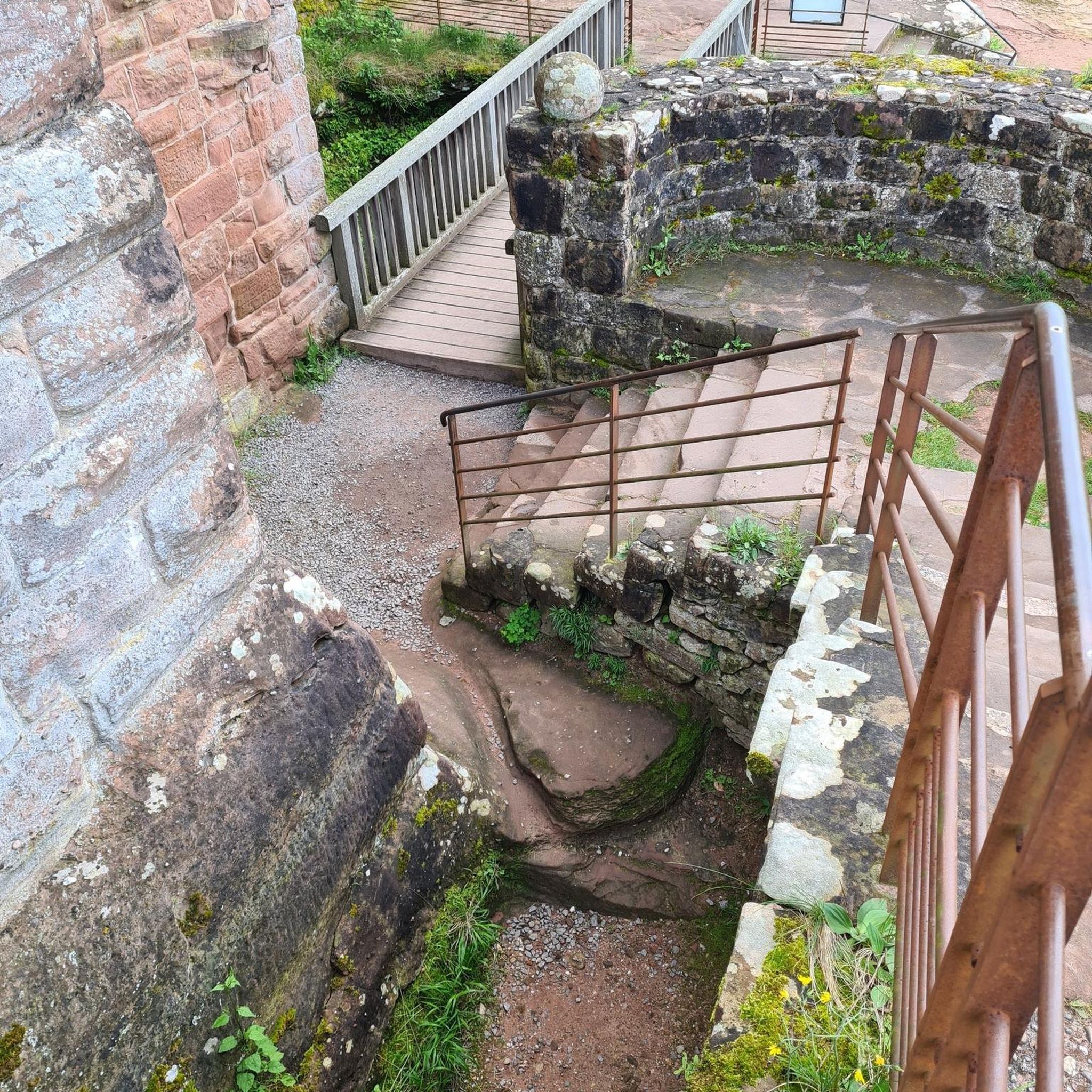
Tips from the Community

Unpaved cycle path Via Chartreuse
2
0
2 nice places on the Guiers, Echelles and Entre-deux-Guiers
2
0

pedestrian pass and wonderful viewpoint
3
0
Beautiful bridge over the gorge
4
0

On Thursday there is a market in St Pons de Tomiere in the morning
0
1

Entre-deux-Guiers found itself on the French side when the Treaty of Turin was signed in 1760. The treaty established the Guiers river as the border between France and the Duchy of Savoy. Today, this small town of Chartreuse benefits from the attraction for mountain sports. Ideally located in the massif, its position places it on several hiking routes.
1
0
Splendid gorges of Guiers Vif, to explore if you pass in the area! You can cross them thanks to a very nice little bridge. Nice discovery!
1
0
Frequently Asked Questions
How many running routes are available around Saint-Pierre-De-Genebroz?
There are over 130 running routes around Saint-Pierre-De-Genebroz, offering a wide variety of options for different skill levels and preferences. You'll find everything from easy paths to challenging trails.
What kind of terrain can I expect on jogging routes in Saint-Pierre-De-Genebroz?
The region offers diverse terrain for jogging, ranging in altitude from 380m to 1313m. You can expect paths winding through forests, along ridges, and in mountainous areas, providing a refreshing atmosphere and varied scenery. Some routes also feature gorges and belvederes.
Are there any easy running routes for beginners or a quick jog?
Yes, Saint-Pierre-De-Genebroz has several easy running routes. For a relatively flat path suitable for a quick run, consider the Running loop from Entre-deux-Guiers, which is about 6.5 km long and takes around 41 minutes.
What are some challenging running trails for experienced runners?
For experienced runners seeking a challenge, the area offers several difficult routes. The Entre-deux-Guiers – Chapelle Béatrice de Savoie loop from Entre-deux-Guiers is a difficult 8.7 km path with significant elevation gain, leading through varied terrain towards historical points. Another option is the Chapelle Béatrice de Savoie loop from La Bauche, a 10.2 km trail through forested areas with rewarding views.
What natural features or landmarks can I see along the running routes?
Many running routes in the region pass by significant natural features and historical landmarks. You might encounter the stunning Lac d'Aiguebelette, impressive gorges like François I's Cave, or historical paths such as The Sarde Road, which offers breathtaking views from its belvederes.
Are there any circular running routes in the area?
Yes, many routes in Saint-Pierre-De-Genebroz are circular, allowing you to start and finish at the same point. For example, the Chapel of La Madeleine loop from Entre-deux-Guiers is a difficult 9.2 km circular route. Another moderate option is the Entre-deux-Guiers loop from Entre-deux-Guiers, which is about 8.7 km.
What do other runners enjoy most about jogging in Saint-Pierre-De-Genebroz?
The running routes in Saint-Pierre-De-Genebroz are highly rated by the komoot community, with an average score of 4.2 stars from over 70 reviews. Runners often praise the diverse terrain, the refreshing atmosphere of the forests and mountainous areas, and the varied scenery that includes gorges and belvederes.
Are there routes suitable for jogging in winter conditions?
The region's varied terrain, including areas like Col des Mille Martyrs, offers forest loops that are accessible year-round, even in snowy conditions, providing open views. However, always check local conditions and weather forecasts before heading out in winter.
What is the best time of year to go jogging in Saint-Pierre-De-Genebroz?
Saint-Pierre-De-Genebroz offers great jogging opportunities throughout the year due to its diverse terrain. Spring and autumn provide pleasant temperatures and beautiful foliage, while summer is ideal for higher altitude trails. Even in winter, some forest loops remain accessible, offering unique snowy landscapes.
Can I find routes that offer good viewpoints?
Absolutely. The region is known for its belvederes and mountainous areas. Routes along the historic 'Voie Sarde' (Sardinian Way) are particularly noted for offering breathtaking views. The varied altitude also means many trails provide panoramic vistas of the surrounding landscapes.
Are there any routes that pass by rivers or streams?
Yes, some routes in the area will take you past natural water features. For instance, the Grenant Stream is a notable highlight that can be found along certain trails, offering a refreshing element to your run.
Most popular routes around Saint-Pierre-De-Genebroz
Most popular attractions around Saint-Pierre-De-Genebroz

Get inspired with the komoot mobile app


Explore more
Browse the best Running Trails & Routes in other regions.
