The best walks and hikes around Meythet
4.5
(3183)
38,321
hikers
535
hikes
Hiking around Meythet offers access to diverse landscapes near Annecy, France. The region is characterized by its proximity to Lake Annecy, the dramatic French Alps, and the mountain ranges of Massif des Bauges and Massif des Bornes. This area features a mix of serene lakeside paths, alpine trails, and geological formations like the Gorges du Fier. The terrain varies from gentle, flat routes along the water to challenging mountain ascents.
Best hiking trails around Meythet
- The most popular hiking route…
Last updated: October 18, 2026
4.7
(6)
181
hikers
7.06km
01:50
40m
40m
Easy hike. Great for any fitness level. Easily-accessible paths. Suitable for all skill levels.
4.5
(4)
116
hikers
9.63km
02:31
70m
70m
Moderate hike. Good fitness required. Easily-accessible paths. Suitable for all skill levels.

4.4
(11)
26
hikers
17.7km
05:15
480m
480m
Hard hike. Very good fitness required. Easily-accessible paths. Suitable for all skill levels.
28
hikers
6.31km
01:37
20m
20m
Easy hike. Great for any fitness level. Easily-accessible paths. Suitable for all skill levels.
5.0
(1)
19
hikers
5.71km
01:28
30m
30m
Easy hike. Great for any fitness level. Easily-accessible paths. Suitable for all skill levels.
Get access to more routes and recommendations from other explorers.
Already have an account?
Our route recommendations are based on thousands of hikes, rides, and runs completed by other people on komoot.
Start today with a free account
Your next adventure awaits.
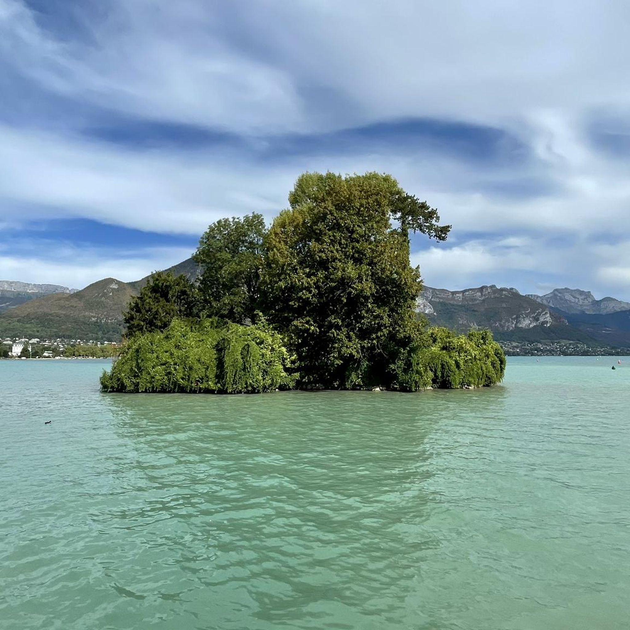

Tips from the Community

wonderfully beautiful landscape here
2
0
wonderfully beautiful landscape here
2
0

Beautiful old town of Annecy
1
0

Authentic and unmissable decor of Annecy, the old town
0
0


Very nice hike to do again
0
0

Frequently Asked Questions
How many hiking trails are available around Meythet?
Meythet offers a wide variety of hiking opportunities, with over 495 routes available. These range from easy strolls to more challenging mountain ascents, catering to all skill levels.
Are there easy hikes suitable for families or beginners?
Yes, Meythet is an excellent base for easy, family-friendly hikes. You can find 184 easy routes, many of which are flat and scenic. For example, the Lovers' Bridge – Canals of Annecy Old Town loop from Annecy-le-Vieux is an easy 7.5 km path that explores the charming canals and historic areas. Another gentle option is the Le Fier loop from Meythet, a 3.8 km trail perfect for a quick walk.
What kind of natural features or viewpoints can I expect to see on hikes near Meythet?
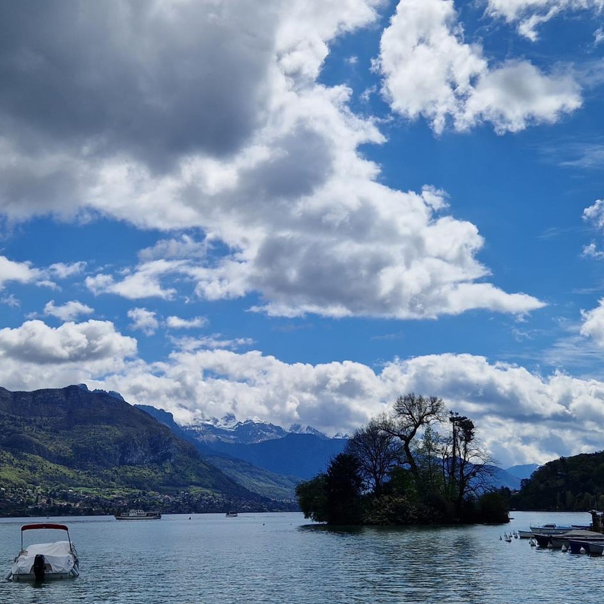
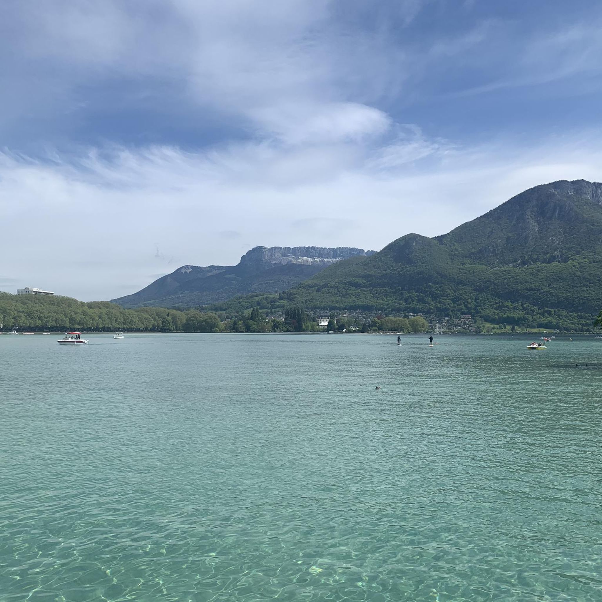
The region around Meythet is rich in natural beauty. You can expect stunning views of Lake Annecy, often cited as one of Europe's clearest lakes, and the dramatic French Alps. Trails often lead to panoramic viewpoints like View from Croix du Chef-Lieu overlooking Lake Annecy or Belvédère de la Grande Jeanne. You might also encounter unique geological formations such as the Fier Gorge.
Are there any challenging hikes for experienced trekkers?
Absolutely. For those seeking a challenge, Meythet's proximity to the French Alps provides numerous options. The Tête de la Mandallaz – Sillingy Fault Mirror loop from Épagny is a difficult 17.8 km trail with significant elevation gain, typically taking over 5 hours. More demanding routes can be found in the Massif des Bauges and Massif des Bornes, including ascents of peaks like Mont Baron, Mont Veyrier, or even the challenging La Tournette, which offers 360-degree views of the Alps and Mont Blanc on clear days.
Can I find circular hiking routes in the Meythet area?
Yes, many of the trails around Meythet are designed as loops, allowing you to start and end at the same point. Examples include the popular Lovers' Bridge – Halle Bridge loop from Cran-Gevrier, an easy 6.7 km route, and the more urban Place des Cordeliers – Saint-Sépulcre Gate loop from Annecy. For a more strenuous circular option, consider the Tête de la Mandallaz – Sillingy Fault Mirror loop from Épagny.
What is the best time of year to go hiking in Meythet?
The best time for hiking in Meythet is generally from spring through autumn (April to October). During these months, the weather is milder, and the trails are typically clear of snow, especially at lower elevations. Summer offers warm temperatures perfect for lakeside strolls, while spring and autumn provide vibrant colors and fewer crowds. Higher alpine routes are best tackled in mid-summer when snow has melted.
Are the trails around Meythet dog-friendly?
Many trails around Meythet are dog-friendly, especially the lakeside paths and forest trails. However, it's always recommended to keep dogs on a leash, especially in nature reserves or areas with livestock. Some higher alpine routes might be less suitable due to terrain or specific regulations. Always check local signage for any restrictions.
How accessible are the trailheads by public transport?
Meythet is well-connected to Annecy, which serves as a hub for public transport. Many trailheads, especially those closer to Annecy and its surrounding communes, can be reached by local bus services. For routes deeper into the mountains, public transport options might be more limited, and a car could be more convenient.
Where can I park my car when starting a hike?
Parking is generally available at or near many popular trailheads, especially for routes starting from towns like Annecy, Cran-Gevrier, or Épagny. For example, routes exploring Annecy's historic areas often have nearby public parking garages. For mountain trails, designated parking areas are usually provided at the start of the routes, though these can fill up quickly during peak season.
What do other hikers say about the trails in Meythet?
The hiking trails around Meythet are highly regarded by the komoot community, with an average rating of 4.5 stars from over 2,600 reviews. Hikers frequently praise the diverse landscapes, from serene lake views to challenging mountain vistas, and the well-maintained paths. Many appreciate the variety of options available for different fitness levels and the stunning natural beauty of the region.
Are there any specific attractions or landmarks to look out for along the trails?
Beyond the natural beauty, several attractions and landmarks enhance the hiking experience. You can explore the historic areas of Annecy, including its canals and old town. The Fier Gorge is a unique geological site worth visiting. For those interested in views, the View from Croix du Chef-Lieu overlooking Lake Annecy offers a memorable panorama.
Are there any hikes that offer views of Lake Annecy?
Many hikes in the Meythet area offer spectacular views of Lake Annecy. Trails along the lake's shores, such as sections of the Greenway along the shore of Lake Annecy, provide serene waterside perspectives. For elevated panoramic views, consider routes ascending Mont Baron or Mont Veyrier, which provide expansive vistas of the lake and surrounding mountains.
Most popular routes around Meythet
Most popular attractions around Meythet

Get inspired with the komoot mobile app


Explore more
Browse the best Hikes in other regions.
