The best walks and hikes around Magnanville
4.6
(226)
1,331
hikers
187
hikes
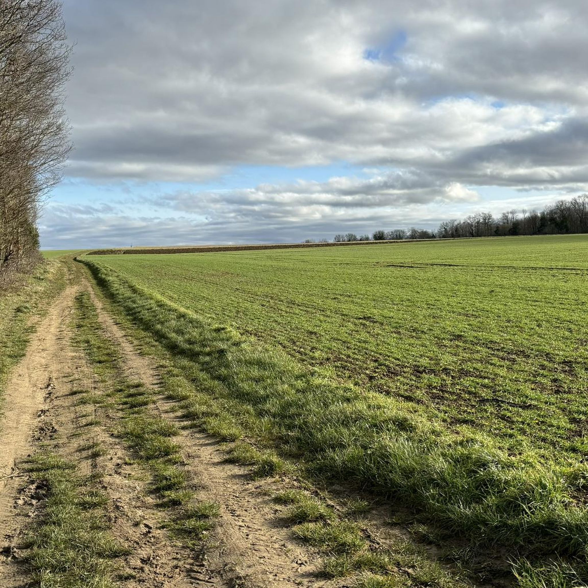
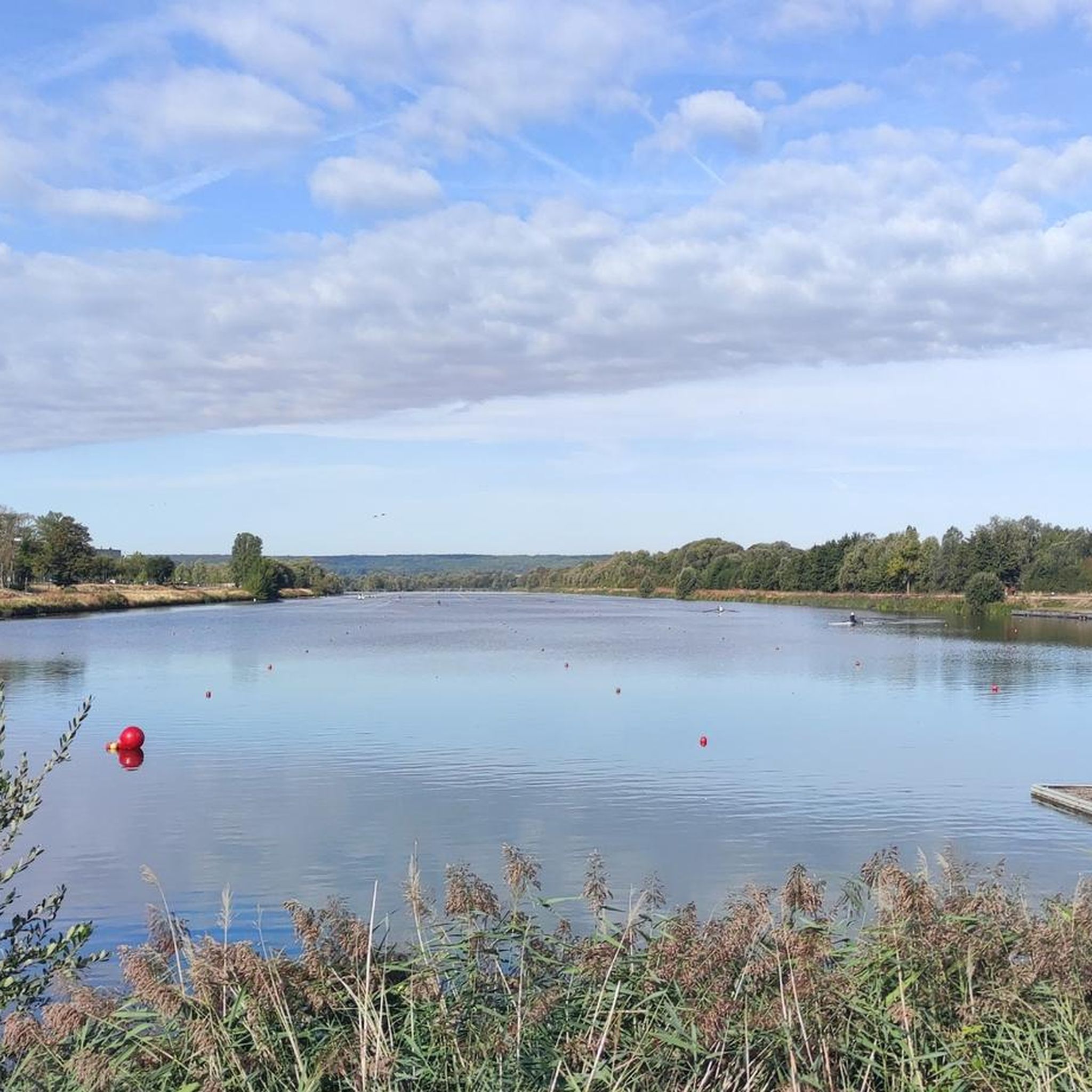
Hiking around Magnanville offers a network of trails through the French countryside, characterized by gentle elevations and a mix of woodlands and open fields. The region often features paths along river valleys and connects to charming local villages. These routes provide opportunities to explore the natural and historical elements of the area.
Best hiking trails around Magnanville
- The most popular hiking route is The village of Vert – Red Squirrel loop from Mantes Station, a 9.1 miles (14.6 km)…
Last updated: July 5, 2026
4.5
(2)
11
hikers
14.6km
03:56
180m
180m
Moderate hike. Good fitness required. Easily-accessible paths. Suitable for all skill levels.
4.0
(1)
13
hikers
8.92km
02:26
140m
140m
Moderate hike. Good fitness required. Easily-accessible paths. Suitable for all skill levels.

Sign up for free
4.0
(1)
9
hikers
10.9km
02:58
160m
160m
Moderate hike. Good fitness required. Easily-accessible paths. Suitable for all skill levels.
5.0
(1)
9
hikers
10.5km
02:50
130m
130m
Moderate hike. Good fitness required. Easily-accessible paths. Suitable for all skill levels.
19
hikers
6.37km
01:39
40m
40m
Easy hike. Great for any fitness level. Easily-accessible paths. Suitable for all skill levels.
Get access to more routes and recommendations from other explorers.
Sign up for free
Already have an account?
Our route recommendations are based on thousands of hikes, rides, and runs completed by other people on komoot.
Start today with a free account
Your next adventure awaits.
Login or Signup


Tips from the Community


Very violent regarding car traffic... There's still work to be done to improve that.
0
0

Very quiet footbridge over the Seine
0
0
Very beautiful monument this Gothic Collegiate Church of Notre-Dame de Mantes-la-Jolie
1
0

The Collegiate Church of Notre-Dame de Mantes-la-Jolie is a former collegiate church from the 12th and 13th centuries located in Mantes-la-Jolie (Yvelines, France) on the banks of the Seine. It was classified as a Historic Monument in 1840. This church is reminiscent of Notre-Dame Cathedral in Paris in style and in its elevation on three levels.
0
0

A Bridge With strange colossi...!
0
0

Several dozen kilometers from the center of Paris, the Notre-Dame de Mantes-la-Jolie collegiate church does not only have its name in common with the emblematic Parisian cathedral. Its facade, its style and its structure on three levels are very reminiscent of its big sister in the Ile-de-France region.
1
0
Frequently Asked Questions
How many hiking trails are available around Magnanville?
There are over 170 hiking routes around Magnanville, offering a wide variety of options for different preferences and skill levels.
What is the general terrain like for hiking in Magnanville?
Hiking around Magnanville is characterized by gentle elevations, with trails winding through a mix of woodlands, open fields, and often along river valleys. You'll find paths connecting charming local villages, providing a blend of natural beauty and historical elements.
Are there easy hikes suitable for beginners or families?
Yes, Magnanville offers 48 easy routes perfect for beginners or families. An excellent option is the Hiking loop from Mantes Station, which is 3.8 miles (6.2 km) long with minimal elevation gain, making it a pleasant and accessible walk.
Can I find challenging hikes for more experienced hikers?
While Magnanville is known for its gentle terrain, there are 22 routes classified as difficult for those seeking a greater challenge. These routes typically cover longer distances and may have more varied ascents, though the region generally features moderate elevations.
Are there circular hiking routes available?
Yes, many of the trails around Magnanville are circular, allowing you to start and end at the same point. Popular examples include the Red Squirrel loop from Vert and the Saint-Maclou Tower – Old Limay Bridge loop from Mantes-la-Jolie.
What kind of natural features or landmarks can I expect to see along the trails?
The trails often lead through dense woodlands, open countryside, and along river valleys, particularly the Seine. You might encounter historical sites like the Donjon and Fortified Site of Montchauvet or enjoy views of the Banks of the Seine at Vétheuil.
Are there any historical sites to explore while hiking?
Absolutely. The region is rich in history. You can explore the area around the Saint-Maclou Tower – Old Limay Bridge loop from Mantes-la-Jolie, which takes you past historical sites and offers river views. Other notable landmarks include the Notre-Dame Church in Vétheuil and the Donjon and Fortified Site of Montchauvet.
How can I access the trailheads using public transport?
Several routes are accessible via public transport, particularly those starting from Mantes Station. For instance, the popular The village of Vert – Red Squirrel loop from Mantes Station begins directly from the station, making it convenient for those using trains.
Is parking available near the trailheads?
While specific parking information for each trailhead isn't always detailed, many routes that start in or near villages typically have public parking options available. It's advisable to check local signage upon arrival or use navigation apps for parking suggestions near your chosen starting point.
What do other hikers say about the trails in Magnanville?
The hiking trails in Magnanville are highly rated by the komoot community, with an average score of 4.6 stars from over 180 reviews. Hikers often praise the quiet woodlands, charming village passages, and the well-maintained paths that make for an enjoyable outdoor experience.
What is the best time of year to go hiking in Magnanville?
The temperate climate of Magnanville makes hiking enjoyable for much of the year. Spring and autumn offer pleasant temperatures and beautiful scenery with blooming flowers or vibrant foliage. Summer is also suitable, though it's best to start early to avoid the midday heat. Winter hikes are possible, especially on clear, crisp days, but some paths might be muddy.
Are dogs allowed on the hiking trails in Magnanville?
Generally, dogs are welcome on many trails in the Magnanville area, especially if kept on a leash. However, regulations can vary in specific nature reserves or protected areas. It's always best to look for local signage at the trailhead or check with local tourism offices for any specific restrictions on your chosen route.
Most popular routes around Magnanville
Most popular attractions around Magnanville

Get inspired with the komoot mobile app


Explore more
Browse the best Hikes in other regions.
