The best MTB trails around Targassonne
4.5
(529)
6,312
riders
266
rides
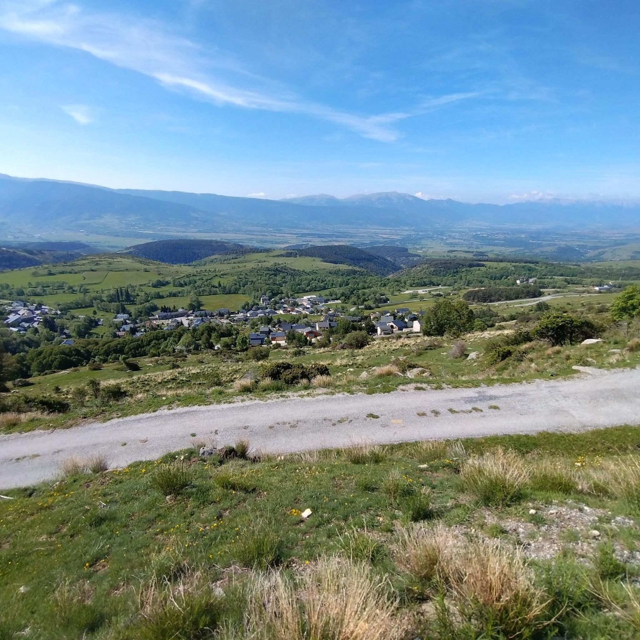
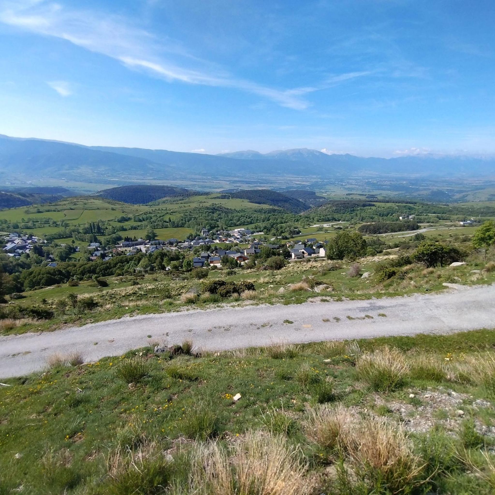
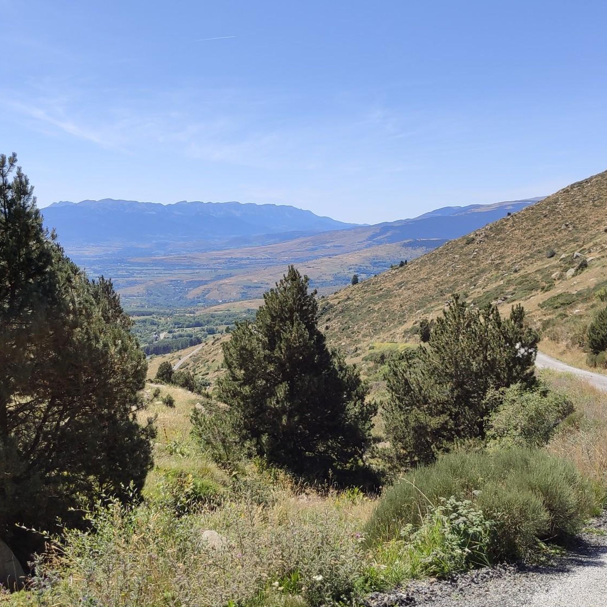
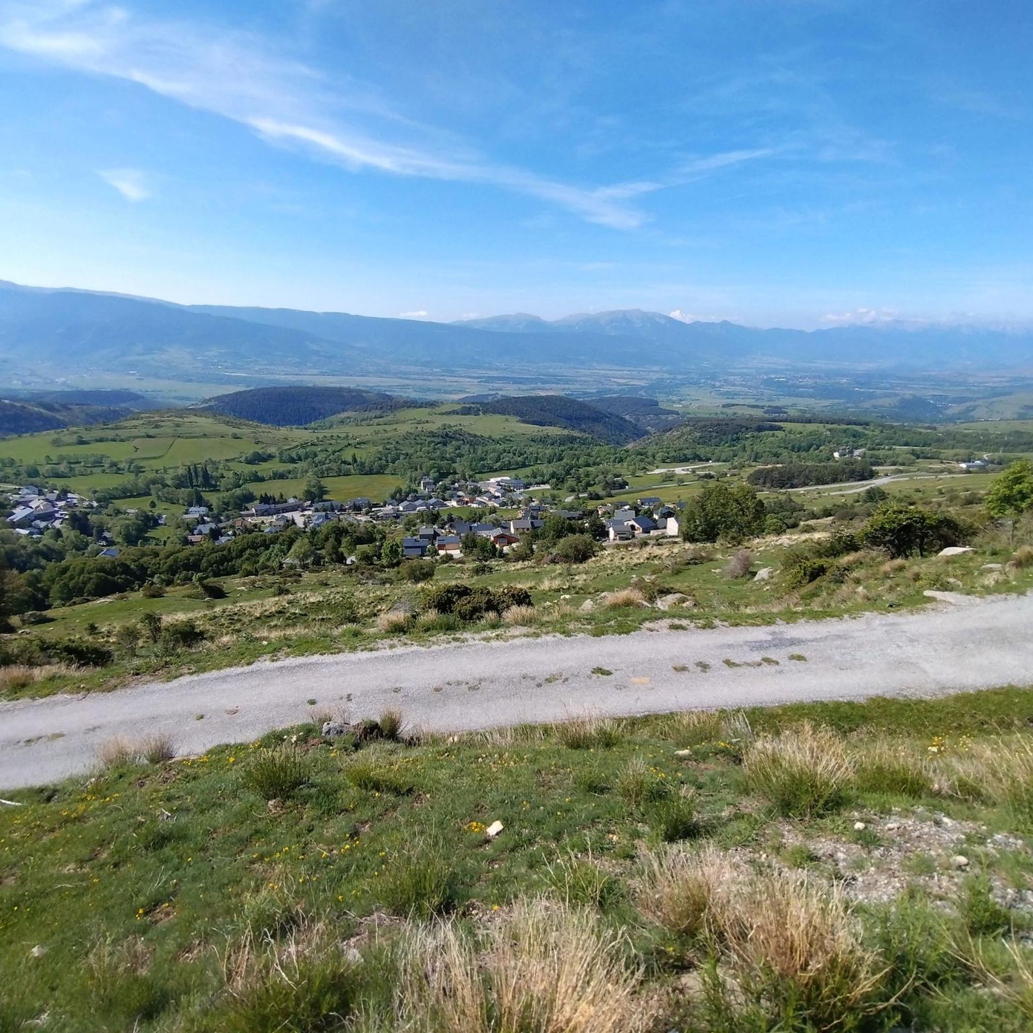
Mountain biking around Targassonne, situated in the Pyrénées-Orientales, offers diverse landscapes and varied terrain. The region is characterized by significant elevation changes, with routes traversing mountain lakes such as Lac des Bouillouses and Estany de la Pradella. Riders encounter mountainous terrain, including peaks like Pic dels Moros (2,138 m), providing a range of topographical features for mountain bike trails.
Best mountain bike trails around Targassonne
- The most popular mountain bike trail is Lac des Bouillouses – Pla de Barrès -…
Last updated: June 29, 2026
4.6
(34)
198
riders
Moderate mountain bike ride. Good fitness required. Advanced riding skills necessary.
4.4
(25)
177
riders
Moderate mountain bike ride. Good fitness required. Suitable for all skill levels.

Sign up for free
4.5
(19)
182
riders
42.7km
04:16
1,010m
1,010m
Hard mountain bike ride. Very good fitness required. Advanced riding skills necessary.
4.8
(17)
141
riders
46.0km
04:30
850m
850m
Hard mountain bike ride. Good fitness required. Advanced riding skills necessary. Some portions of the route may require you to push your bike.
4.7
(15)
137
riders
32.8km
03:24
980m
980m
Hard mountain bike ride. Very good fitness required. Advanced riding skills necessary. Some portions of the route may require you to push your bike.
Get access to more routes and recommendations from other explorers.
Sign up for free
Already have an account?
Our route recommendations are based on thousands of hikes, rides, and runs completed by other people on komoot.
Start today with a free account
Your next adventure awaits.
Login or Signup

Tips from the Community

Tricky passages with fun flow
0
0


Well, starting from Font Romeu and breaking legs from Mont Louis
0
0

Estany de la Pradella, also called the pond or lake of Pradeilles, is a beautiful mountain lake in the Pyrénées-Orientales. A superb setting for cycling in the heart of nature.
0
0

magnificent landscapes, restoration on the bouillouses
0
0

e2e22e22iii89888888cc8. >.>>+8+++>+>+>^>/^<[>>>××>>>>×>8>>>>×8>×>>>×>>>>>> [>>>>>>>>>8888>8>>[>8>>>>>>×>>×>>>>>>>>>>>>>>>>>>÷÷888>> 8>>>²>>88>.989>>>>>>8>8>8<<>>>9>>>×>>>88>8>88>8>>>8>>>> 8>8>8>>>>>>>>× /<_8>8, 8, 2, II, 8>> 2>2>2, ministre ii8i8ik>=i8. ,ezz 2+> , ÷> 222222222,222222222222222222>2 n
0
0

The Col de la Calvaire de Font Romeu is a mountain pass in French Cerdanya, next to the town and ski resort of Font Romeu. This port connects the Bolquère valley with the Cerdanya valley. The port is within the same town of Font Romeu, next to the station's ski lifts. There are many slopes to reach Col de la Calvaire: - the western slope that starts from Ur is approximately 16 km and crosses the town of Targasone and the Col d'Egat. It is a very steep climb along a road in perfect condition, although on holidays there is a lot of traffic. - The southern slope starts from Llívia and crosses Estavar and joins the previous one at the Col d'Egat. Unlike the first, the first section of the climb is very hard, with several horseshoe curves and with wonderful views of the entire Cerdanya and the Tosa d'Alp. - The eastern slope stops at Olette, and after approximately 28 km it reaches the top of the pass, passing through the town of Mont-Louis and Bolquère. It is a very steep climb, like the first, on a road in perfect condition but with a lot of traffic. I don't like going up here. - the eastern slope that starts from Olette and passes through the Col de la Perche, reaching the town of Font-Romeu and from there to the top. Of all the slopes, the one I like the most is the slope that starts from Llívia and crosses Estavar.
0
0

Between Font Romeu and Egat, in the forest
1
0
Frequently Asked Questions
How many mountain bike trails are available around Targassonne?
There are over 250 mountain bike trails around Targassonne, offering a wide range of options for different skill levels and preferences.
What are the different difficulty levels for mountain biking in Targassonne?
The trails around Targassonne cater to various skill levels. You'll find approximately 50 easy routes, 142 moderate routes, and 58 difficult routes, ensuring options for beginners to experienced riders.
What kind of terrain can I expect on mountain bike trails near Targassonne?
The region features diverse terrain with significant elevation changes. You can expect mountainous landscapes, including peaks like Pic dels Moros (2,138 m) and Carlit (2921m), as well as scenic sections around mountain lakes such as Lac des Bouillouses and Estany de la Pradella. The routes often traverse varied valleys and offer stunning views.
Are there any mountain bike routes that feature lakes or water bodies?
Yes, many routes incorporate the beautiful mountain lakes. For example, the Lac des Bouillouses – Pla de Barrès - 1651 m loop from Font-Romeu-Odeillo-Via offers scenic sections around Lac des Bouillouses. Another option is the Lac des Bouillouses – Pla des Avellans loop from Pla de la Creu, which also passes by Lac des Bouillouses.
What do other mountain bikers enjoy most about the trails in Targassonne?
The mountain biking trails in Targassonne are highly rated by the komoot community, with an average score of 4.5 stars from over 700 reviews. Riders often praise the diverse landscapes, the challenging terrain, and the stunning natural features like the mountain lakes and peaks.
Are there any challenging mountain bike routes with significant elevation gain?
Yes, for experienced riders seeking a challenge, there are routes with substantial elevation gain. The Pla de Barrès - 1651 m – Estany de la Pradella loop from Font-Romeu-Odeillo-Via is a difficult 32.0-mile (51.5 km) trail with an elevation gain of over 1,300 meters.
Can I find loop routes for mountain biking in Targassonne?
Absolutely. Many of the mountain bike trails in Targassonne are designed as loops, allowing you to start and finish at the same point. Examples include the Sheepfold of the Jasse d'Amunt – Pic dels Moros (2,138 m) loop from Font-Romeu-Odeillo-Via and the Sheepfold of the Jasse d'Amunt – Lac des Bouillouses loop from Font-Romeu-Odeillo-Via.
What natural attractions can I see while mountain biking around Targassonne?
Beyond the trails themselves, the region offers several natural attractions. You can ride past the beautiful Lake Bouillouses, or catch views of significant peaks like the Summit of Pic Carlit. The area is also known for unique valleys like the Valley of Eyne and the impressive Gorge of Caranca.
Are there any huts or refuges along the mountain bike routes?
Yes, there are several huts and refuges in the area that can be found near or along some routes. Notable ones include the Bouillouses Refuge, Estany Negre hut, and Cabane de Rouzet, which can serve as points of interest or rest stops.
What is the best time of year to go mountain biking in Targassonne?
The region is a year-round destination for outdoor activities. While specific trail conditions vary, summer generally offers excellent conditions for mountain biking, allowing access to higher elevation trails. However, the diverse terrain means there are options suitable for different seasons, with lower elevation routes accessible earlier and later in the year.
Are there any specific passes or cols that mountain bikers often encounter?
Yes, the mountainous terrain includes several passes that are part of popular routes. You might encounter the Col de la Perche (1,579 m) or the Col du Calvaire (Font-Romeu), offering both challenging climbs and rewarding views.
Most popular routes around Targassonne
Most popular attractions around Targassonne

Get inspired with the komoot mobile app


Explore more
Browse the best MTB trails in other regions.
