The best walks and hikes around Plobsheim
4.5
(2056)
8,153
hikers
366
hikes
Hiking around Plobsheim offers access to a landscape characterized by flat riverine terrain, extensive floodplain forests, and a network of canals. The region is situated near the Rhine, providing routes that often follow waterways and traverse lush, green areas. Elevation changes are minimal, making many trails accessible for various fitness levels.
Best hiking trails around Plobsheim
- The most popular hiking route is The Rhine – View of the Rhine loop from Salmengrund, a 9.1 miles (14.6 km) trail that…
Last updated: October 12, 2026
5.0
(4)
25
hikers
6.55km
01:39
10m
10m
Easy hike. Great for any fitness level. Easily-accessible paths. Suitable for all skill levels.
4.7
(3)
24
hikers
14.6km
03:41
20m
20m
Moderate hike. Good fitness required. Easily-accessible paths. Suitable for all skill levels.

5.0
(8)
21
hikers
6.00km
01:31
10m
10m
Easy hike. Great for any fitness level. Easily-accessible paths. Suitable for all skill levels.
5.0
(1)
5
hikers
13.8km
03:28
10m
10m
Moderate hike. Good fitness required. Easily-accessible paths. Suitable for all skill levels.
10
hikers
11.2km
02:49
20m
20m
Moderate hike. Good fitness required. Easily-accessible paths. Suitable for all skill levels.
Get access to more routes and recommendations from other explorers.
Already have an account?
Our route recommendations are based on thousands of hikes, rides, and runs completed by other people on komoot.
Start today with a free account
Your next adventure awaits.
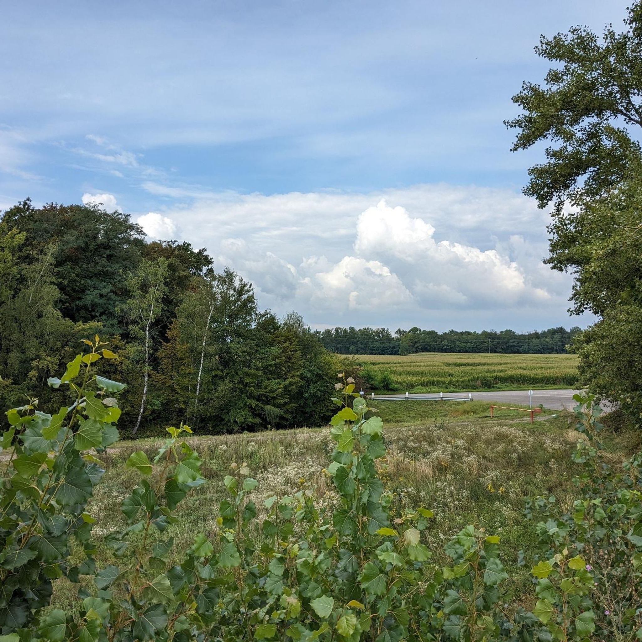
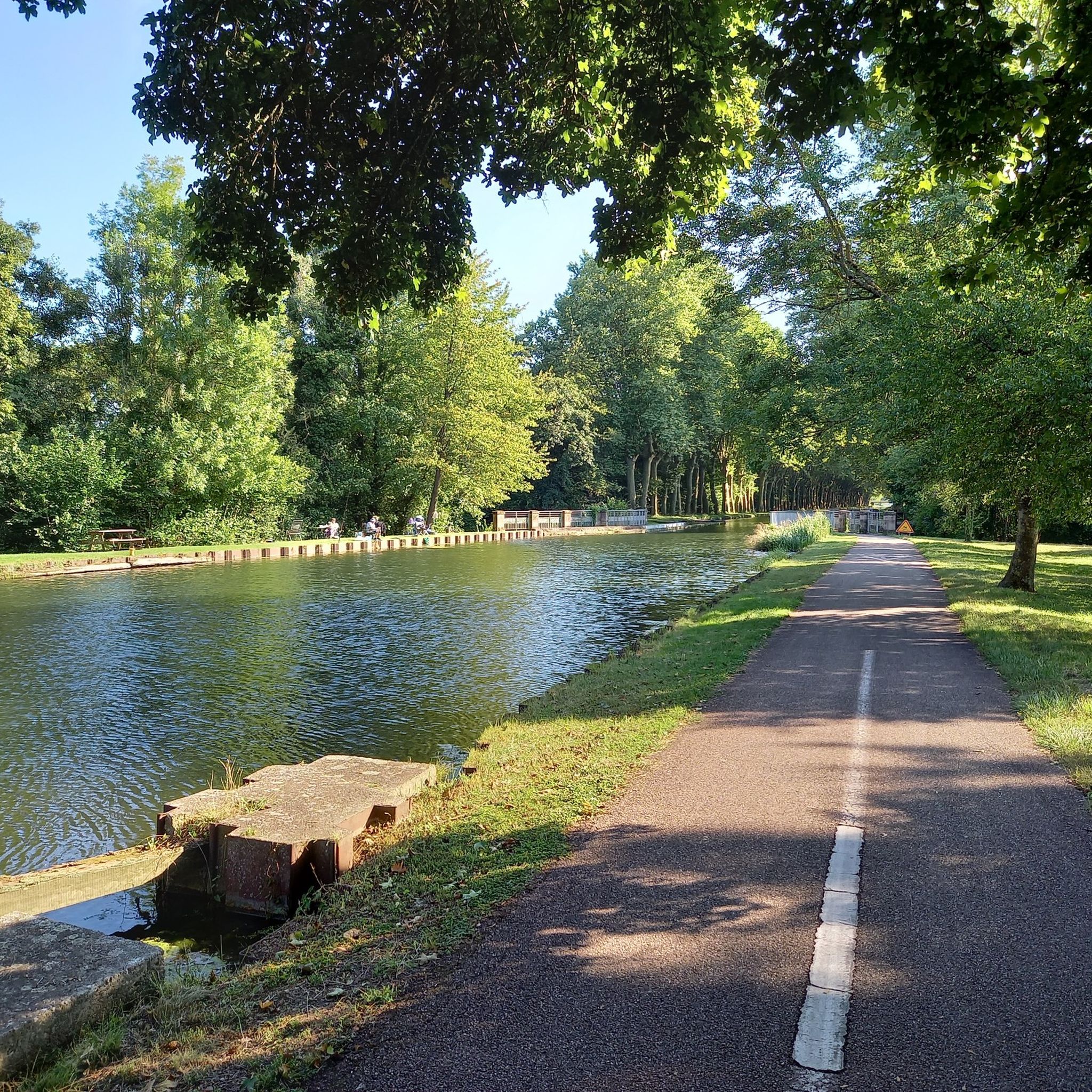
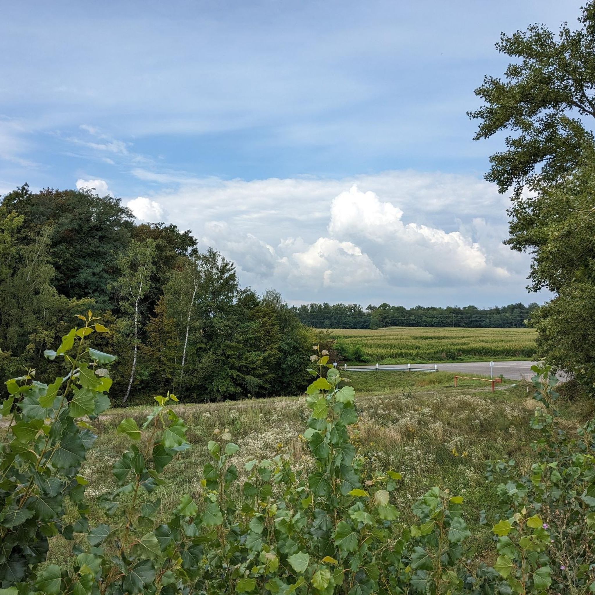
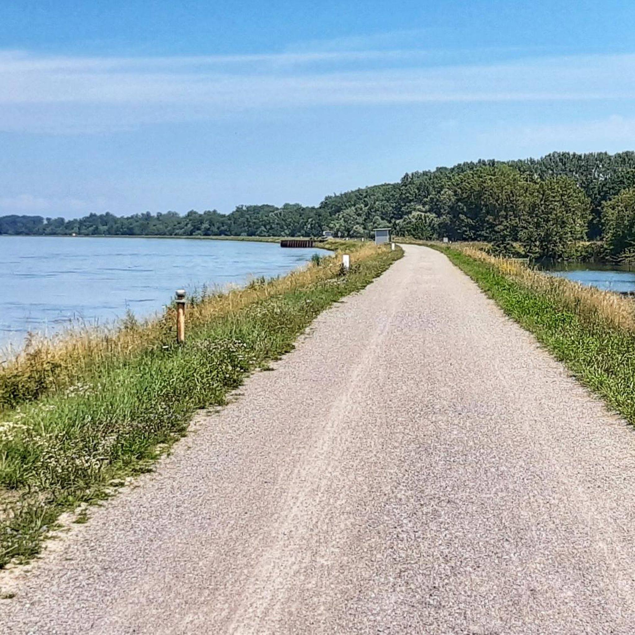

Tips from the Community

Rest area on the Rhine directly on the cycle path
0
0
The Rhine, with a total length of around 1,233 kilometers, is one of the most important, busiest, and historically significant rivers in Europe. It connects the Alps with the North Sea and flows through six countries.
0
0
The Auen-Wildnispfad Neuried near Altenheim is a wild, approximately 2.5-kilometer long adventure trail through the Rhine floodplain landscape. It was created in 2014 in the "Polder Altenheim" flood retention area and conveys a real primeval forest and jungle atmosphere.
2
0
The Auen-Wildnispfad near Neuried-Altenheim is a natural, 2.5-kilometer circular trail through a protected floodplain biotop. The path is designed to be wild, which often requires visitors to climb over tree trunks – sturdy footwear is mandatory, and the trail is unsuitable for strollers or wheelchairs. Due to the obstacles, the tour takes about 2 to 3 hours. As the path is located in the high water retention area, it can be flooded; the status must be checked in advance by phone or on-site via a water level indicator. Free parking is available at the European Forum on the Rhine, where the access also starts.
0
0

Many large sharp stones and potholes on the Rhine riverbank. Got 2 flat tires there with the gravel bike. But otherwise very nice to ride.
0
0

Well, I crossed the ford. To get to the bridge, I would have had to go through the greenery. The path was pretty overgrown yesterday. If there had been more water, I would have gratefully used the bridge.
2
0
Here, the canal is bridged over the canal. Our French friends like to do this.
2
0
Frequently Asked Questions
How many hiking trails are available around Plobsheim?
Plobsheim offers a wide selection of over 350 hiking routes. The majority are easy, with more than 230 routes suitable for relaxed outings, alongside over 110 moderate trails and a few more challenging options.
Are there easy hikes suitable for beginners or families in Plobsheim?
Absolutely. Plobsheim's flat riverine terrain makes it ideal for easy hikes. A great option for beginners and families is the Hiking loop from Salmengrund, an easy 4.1-mile (6.6 km) path through tranquil floodplain areas. Another family-friendly choice is the Neuried Floodplain Forests loop from Sauscholle, a 3.7-mile (6.0 km) trail.
What kind of scenic viewpoints or attractions can I find along the trails?
The region is characterized by its waterways and floodplain forests. You can enjoy views of the Rhine, especially on routes like The Rhine – View of the Rhine loop from Salmengrund. Other notable attractions include the Canal du Rhône au Rhin Tree-Lined Path and the Rheinauen Wilderness Trail, offering glimpses into the natural beauty of the area.
Are there circular hiking routes around Plobsheim?
Yes, many of the trails around Plobsheim are circular, allowing you to start and end at the same point. Popular circular options include the Hiking loop from Salmengrund and the Neuried Floodplain Forests loop from Sauscholle. For a longer circular experience, consider the Canal Avenue – Rhône–Rhine Canal loop from Eschau.
What is the best time of year to go hiking in Plobsheim?
The flat, riverine landscape of Plobsheim is enjoyable throughout much of the year. Spring and autumn offer pleasant temperatures and beautiful natural colors, especially in the floodplain forests. Summer is also suitable, though some areas might be more exposed to the sun. Winter hiking is possible, with the frozen landscape offering a unique, tranquil experience.
Are the hiking trails in Plobsheim dog-friendly?
Generally, the trails in Plobsheim's riverine and forest areas are suitable for dogs, provided they are kept on a leash, especially in nature protection zones. The flat terrain and numerous paths along canals and through woodlands offer plenty of space for walks with your canine companion. Always check local regulations for specific areas.
Where can I find parking for hiking trails in Plobsheim?
Parking is typically available near popular trailheads and access points, especially in villages like Plobsheim and surrounding areas. For routes starting from Salmengrund, you can usually find designated parking. It's advisable to check the starting point of your chosen route on komoot for specific parking information.
Are there any places to eat or drink near the hiking routes?
Yes, you can find options for refreshments. The region has local eateries and, for example, the Kittersburger Mühle Beer Garden is a highlight that could be near some routes. Additionally, there are several huts and shelters like S' Maddehisl Shelter and Auwald Hut by the Lake that might offer picnic spots or basic facilities.
What do other hikers enjoy most about hiking in Plobsheim?
The komoot community highly rates the hiking experience in Plobsheim, with an average score of 4.5 stars from over 1,700 reviews. Hikers frequently praise the tranquil floodplain areas, the extensive network of paths along canals, and the lush, green scenery. The minimal elevation changes also make the routes accessible and enjoyable for a wide range of fitness levels.
Can I hike in Plobsheim during winter?
Yes, winter hiking in Plobsheim is possible and offers a unique perspective of the landscape. The flat terrain means trails are generally accessible, though conditions can vary with snow or ice. Dress warmly and wear appropriate footwear. The quiet, often misty, riverine environment can be particularly atmospheric during the colder months.
Are there any longer, moderate hikes for more experienced hikers?
For those seeking a longer, moderate challenge, the The Rhine – View of the Rhine loop from Salmengrund is an excellent choice. This 9.1-mile (14.6 km) trail offers expansive views of the Rhine and takes approximately 3 hours 41 minutes to complete. Another moderate option is the Sturte Bridge – Auen Wilderness Trail Neuried loop from Salmengrund, covering about 6.8 miles (11 km).
Most popular routes around Plobsheim
Most popular attractions around Plobsheim

Get inspired with the komoot mobile app


Explore more
Browse the best Hikes in other regions.
