The best MTB trails around Thorens-Glières
4.2
(845)
5,744
riders
16
rides
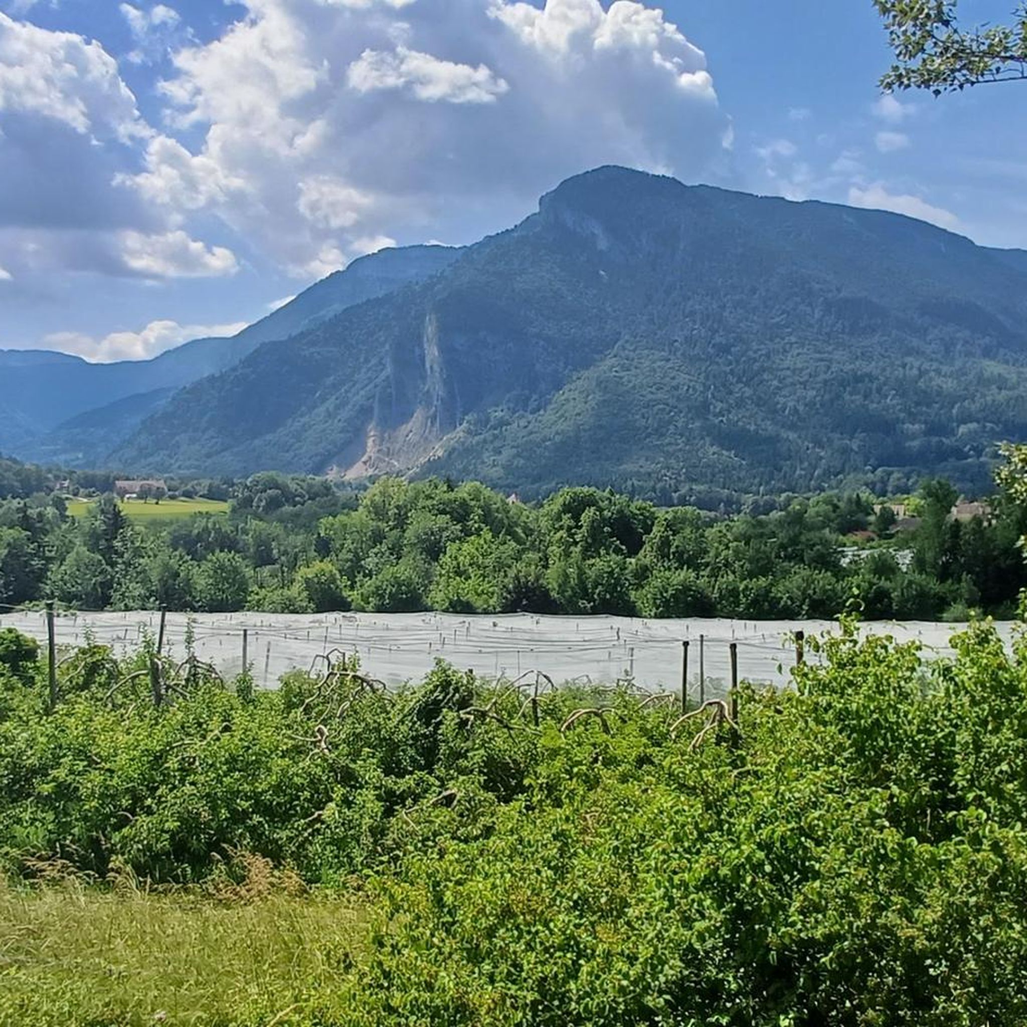
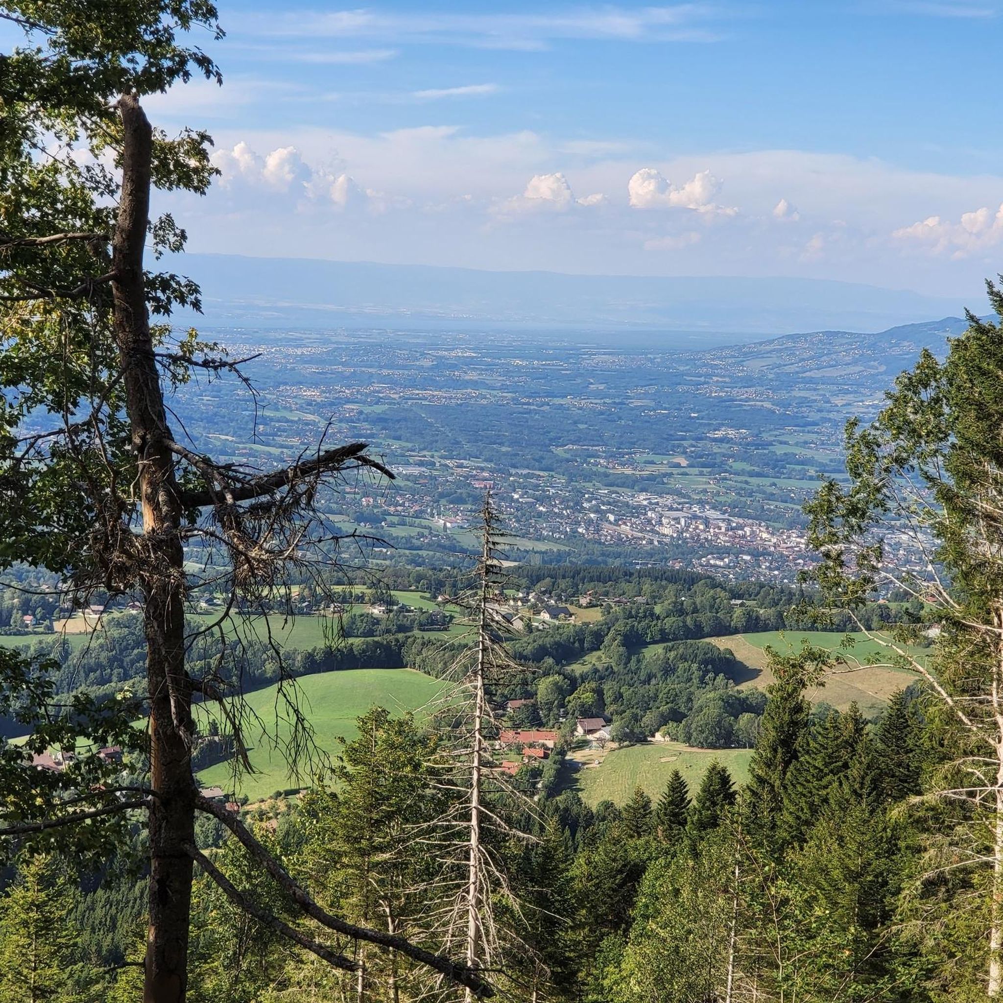
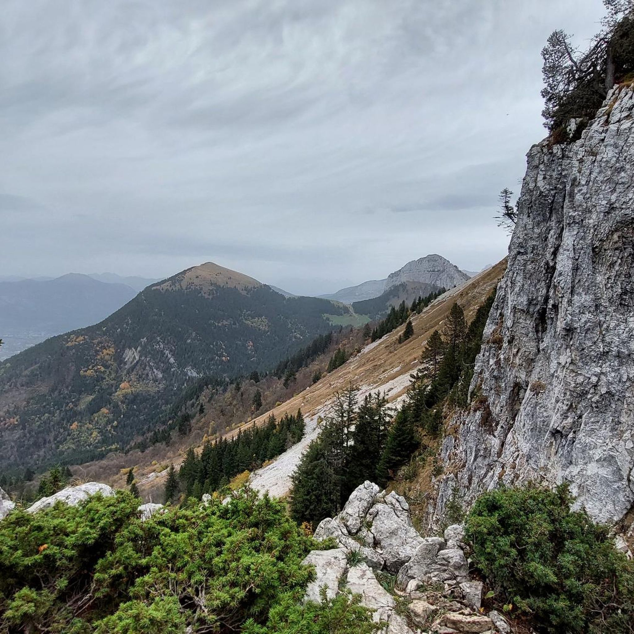
Mountain bike trails around Thorens-Glières traverse a diverse landscape characterized by the iconic Glières Plateau, historic mountain passes like Col des Glières, and impressive peaks such as Sous-Dîne (2,004 meters) and Parmelan (1,876 meters). The region features a network of trails winding through dense forests, mountain pastures, and offering panoramic views of the broader Aravis mountain range. This varied terrain provides a range of mountain biking experiences, from challenging climbs to more accessible paths.
Best mountain bike trails around Thorens-Glières
…Last updated: October 7, 2026
4.3
(3)
28
riders
30.4km
03:14
1,070m
1,070m
Hard mountain bike ride. Very good fitness required. Advanced riding skills necessary.
4.7
(3)
32
riders
23.0km
02:22
880m
880m
Hard mountain bike ride. Good fitness required. Advanced riding skills necessary. Some portions of the route may require you to push your bike.

1.3
(4)
15
riders
Hard mountain bike ride. Good fitness required. Advanced riding skills necessary. Some portions of the route may require you to push your bike.
5.0
(1)
14
riders
29.9km
02:41
960m
960m
Hard mountain bike ride. Very good fitness required. Advanced riding skills necessary. Some portions of the route may require you to push your bike.
5.0
(1)
12
riders
Easy mountain bike ride. Great for any fitness level. Suitable for all skill levels.
Get access to more routes and recommendations from other explorers.
Already have an account?
Our route recommendations are based on thousands of hikes, rides, and runs completed by other people on komoot.
Start today with a free account
Your next adventure awaits.

Tips from the Community

Intersection point Col de Landron Altitude 1585m
1
0
Intersection Point Trou de la Pierre Altitude 1571m
1
0
Intersection point Dravaslay Altitude 1390 m
1
0
Intersection Vuettaz crossing altitude 1245m
1
0
Intersection Les Chenevriers Altitude 1100m
0
0

On the way to the Col and Plateau des Glières ... Grocery store, pharmacy, tobacco shop, butcher, cheese shop, restaurants, etc. Water in front of the town hall Bike repair point behind the town hall
0
0

worth to go, but it's if it's to go on the plateau, it's nicer the other way up!
0
1

This former small town is now attached to the new town of Fillière. It is located at the foot of the Col de Glières and at the start of a magnificent road which runs through the balconies of Pramelan. There is a medieval castle from the 12th century.
0
0
Frequently Asked Questions
How many mountain bike trails are available in Thorens-Glières?
Thorens-Glières offers a network of 15 mountain bike trails, catering to various skill levels. You'll find 2 easy routes, 9 moderate routes, and 4 difficult routes to explore.
What do other mountain bikers say about the trails in Thorens-Glières?
The mountain bike trails in Thorens-Glières are highly regarded by the komoot community, with an average rating of 4.3 stars from over 700 reviews. Riders often praise the diverse terrain, from challenging climbs to scenic paths, and the stunning natural beauty of the region.
Are there any family-friendly mountain bike trails in Thorens-Glières?
Yes, there are family-friendly options. For an easier ride suitable for families, consider the Plateau des Glières – Refuge de Spée loop from Réserve biologique dirigée de la Montagne des Frêtes. This route is 13.3 km long with moderate elevation gain, offering a pleasant experience through the beautiful Glières Plateau.
Can I find circular mountain bike routes in Thorens-Glières?
Many of the mountain bike trails in Thorens-Glières are designed as loops. For example, the Thorens-Glières – Enclave Pass loop from Thorens-Glières is a moderate 24.2 km circular route, and the Lake Dronières – Col des Fleuries loop from Thorens-Glières offers a longer 44.1 km ride.
Are there mountain bike trails that pass by waterfalls in Thorens-Glières?
Yes, the region around Thorens-Glières features natural wonders like waterfalls. The challenging climb to the Col des Glières, which has been featured in the Tour de France, weaves through forests and offers picturesque views of waterfalls. You can also discover the Cascade du Pas du Roc in the area.
What natural features or wildlife might I encounter while mountain biking in Thorens-Glières?
The Glières Plateau, a Sensitive Natural Area and Natura 2000 site, is a highlight. While riding, you might encounter diverse landscapes including mountain pastures, peat bogs, dramatic cliffs, and dense forests. The plateau is home to various wildlife, including species like the grey wolf, lynx, and birds such as the golden eagle and peregrine falcon.
What are some notable landmarks or viewpoints accessible by mountain bike in Thorens-Glières?
You can ride to several impressive landmarks. The Glières Pass is a historic and scenic mountain pass. For panoramic views, consider routes that offer glimpses of the Tête du Danay, which provides a 360-degree vista of the Aravis mountain range. The Caille Bridge is also a scenic crossing point.
Are there any challenging mountain bike routes for experienced riders in Thorens-Glières?
Absolutely. For experienced riders seeking a challenge, routes like the Glières Pass – Lovely loop loop from Réserve biologique dirigée de la Montagne des Frêtes offer significant elevation gain over 20.5 km. Another demanding option is the Glières Pass – Thorens-Glières loop from Thorens-Glières, an 29.9 km trail through challenging terrain.
What is the best time of year for mountain biking in Thorens-Glières?
The warmer months, typically from late spring through early autumn, are ideal for mountain biking in Thorens-Glières. During this period, trails are generally clear of snow, and the weather is conducive for enjoying the diverse landscapes and high-altitude routes.
Are there any lakes or bodies of water I can visit while mountain biking in the area?
Yes, the region features several beautiful lakes. While mountain biking, you might pass by or be near Lake Dronières. Other notable lakes in the wider area include Lessy lake and Lake Peyre, offering scenic spots to enjoy.
Is the Col des Glières suitable for mountain biking?
The Col des Glières is a significant feature of the region, known for its challenging ascent. While it's famous for road cycling, particularly its Tour de France history, the surrounding area and its network of trails offer excellent mountain biking opportunities that incorporate the terrain and views associated with the pass. For more information on cycling the Col des Glières, you can visit Hautes Savoie Mont Blanc Tourisme.
Most popular routes around Thorens-Glières
Most popular attractions around Thorens-Glières

Get inspired with the komoot mobile app


Explore more
Browse the best MTB trails in other regions.
