The best walks and hikes around Champigneulles
4.6
(589)
2,673
hikers
18
hikes
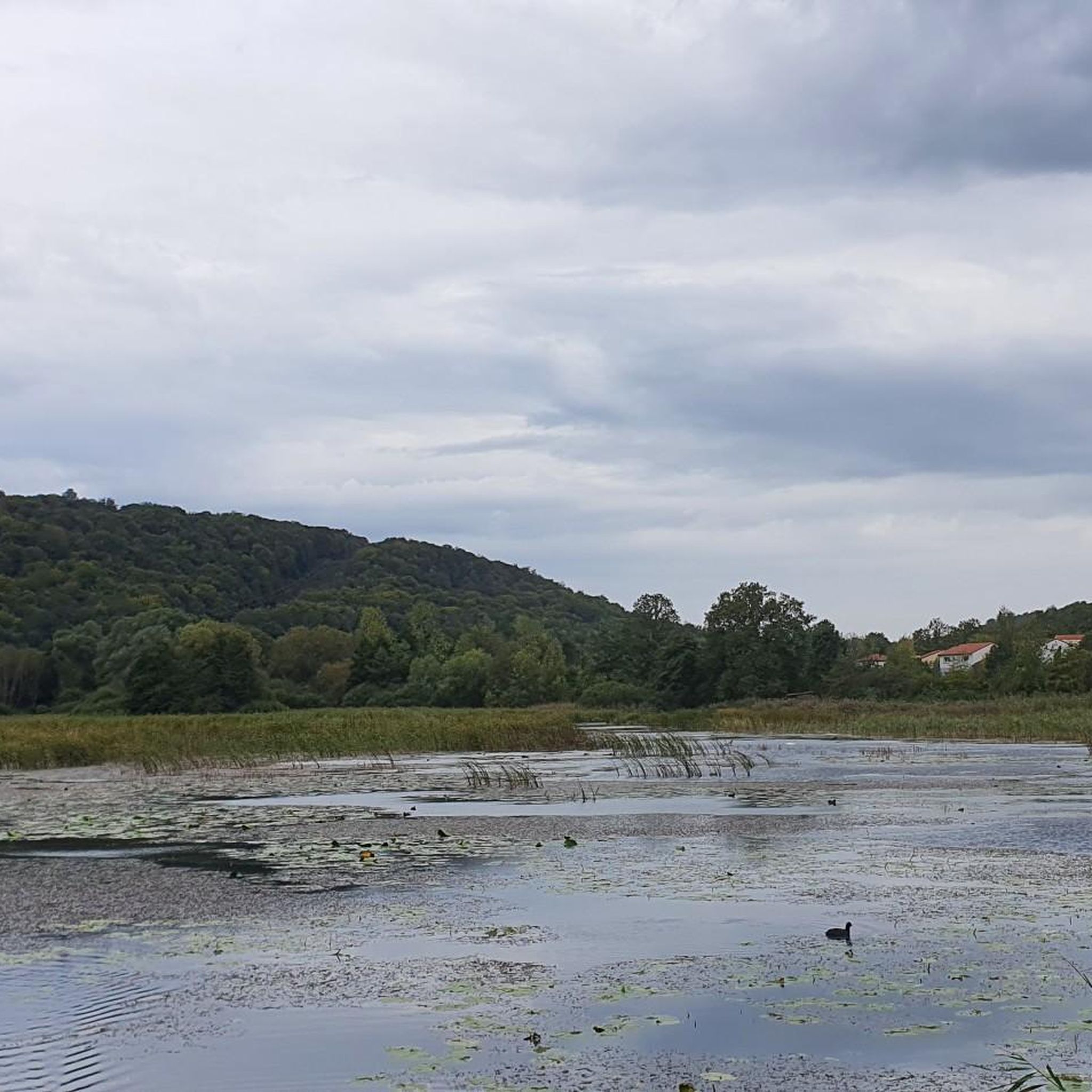
Hiking around Champigneulles offers access to a diverse natural landscape, characterized by extensive forests, wetlands, and the significant Bellefontaine Valley. This region features a mosaic of environments including spring-fed ponds, a flowing stream, and unique limestone lawns, all adjacent to the large Haye forest massif. The area is recognized for its ecological value, supporting a rich ecosystem with a high level of biodiversity.
Best hiking trails around Champigneulles
- The most popular hiking route is Étang de Bellefontaine – Spur Battery…
Last updated: July 2, 2026
5.0
(3)
15
hikers
12.0km
03:17
180m
180m
Moderate hike. Good fitness required. Easily-accessible paths. Suitable for all skill levels.
4.2
(6)
17
hikers
7.55km
02:05
130m
130m
Moderate hike. Good fitness required. Easily-accessible paths. Suitable for all skill levels.

Sign up for free
5.0
(1)
10
hikers
9.92km
02:42
140m
140m
Moderate hike. Good fitness required. Easily-accessible paths. Suitable for all skill levels.
6
hikers
Moderate hike. Good fitness required. Easily-accessible paths. Suitable for all skill levels.
6
hikers
4.64km
01:11
10m
10m
Easy hike. Great for any fitness level. Easily-accessible paths. Suitable for all skill levels.
Get access to more routes and recommendations from other explorers.
Sign up for free
Already have an account?
Our route recommendations are based on thousands of hikes, rides, and runs completed by other people on komoot.
Start today with a free account
Your next adventure awaits.
Login or Signup
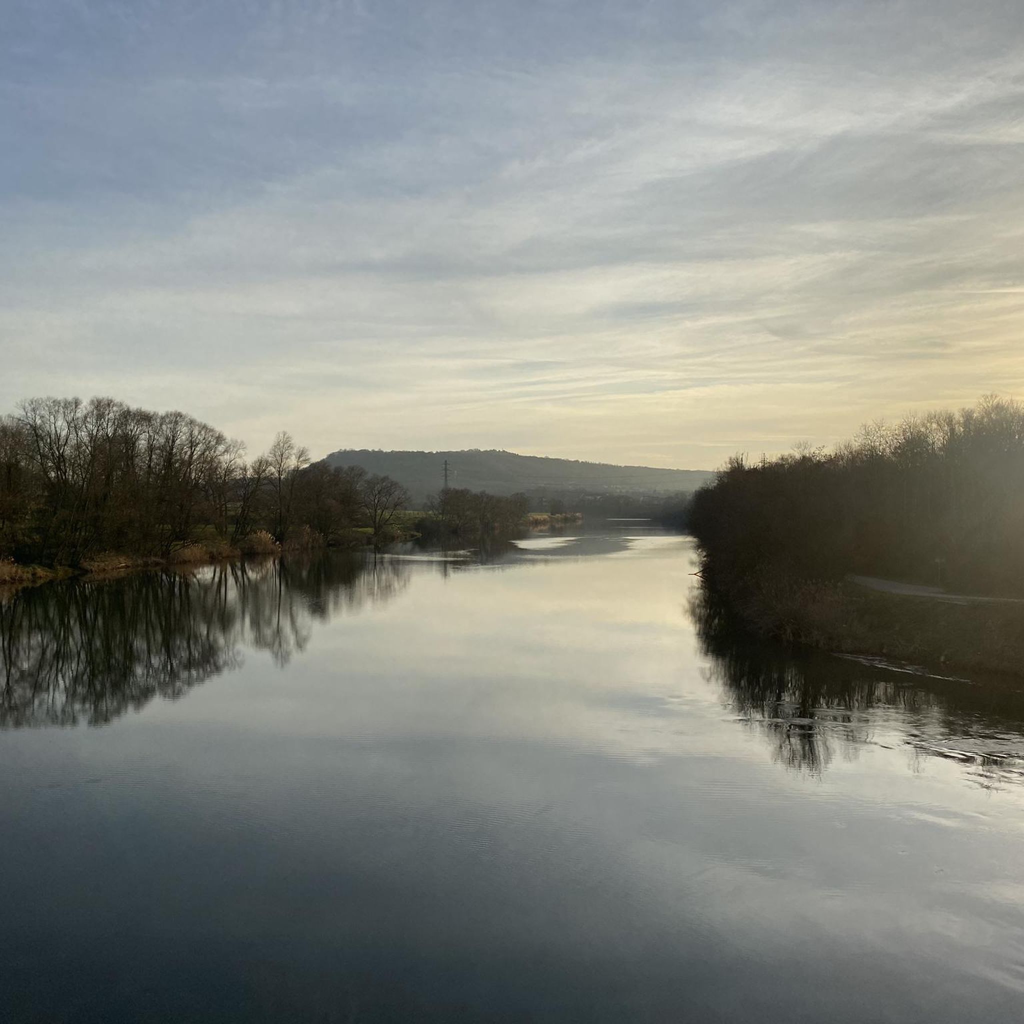
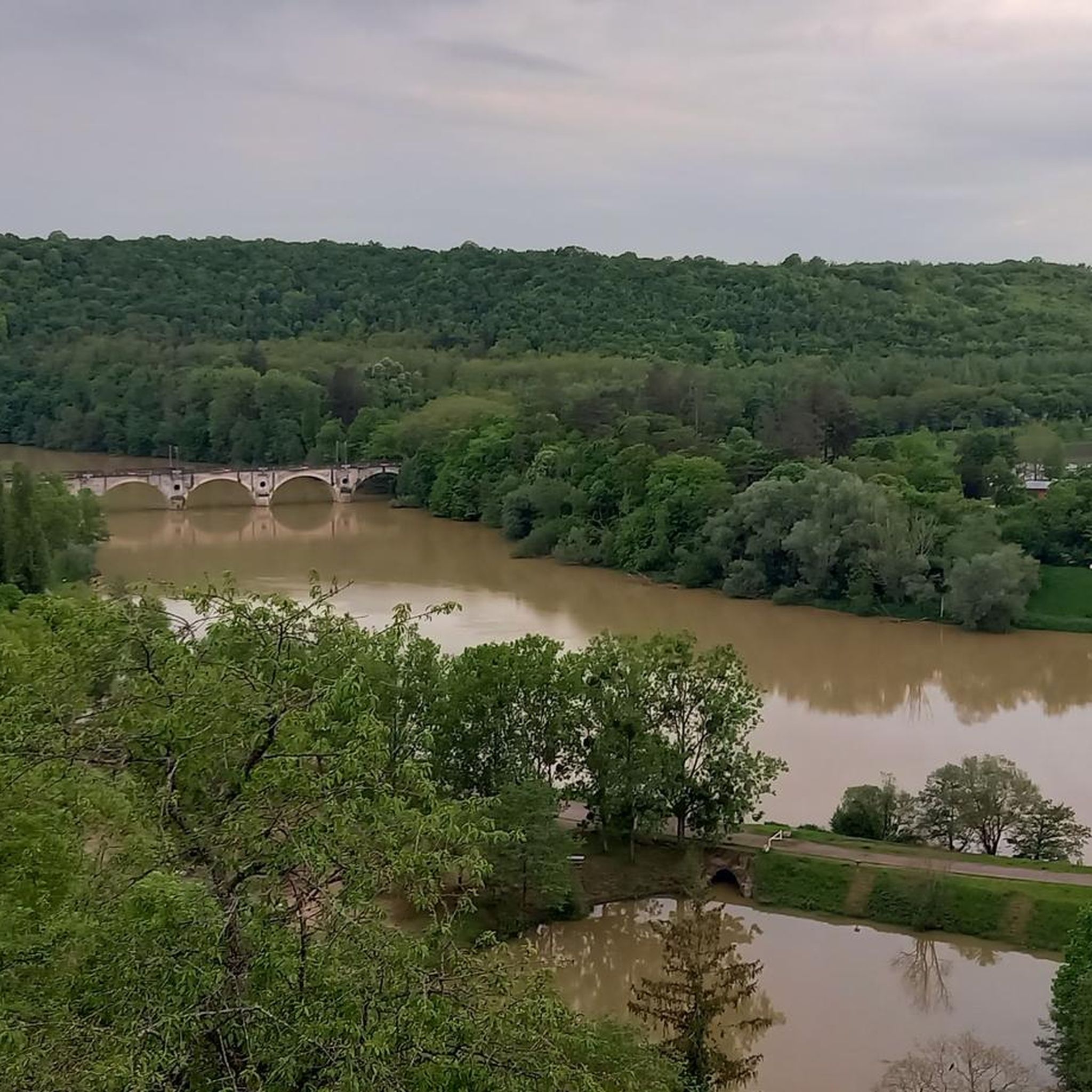
Tips from the Community


the trench leads to the target pit
0
0
This monumental construction was intended to stop projectiles during the 26th RI's shooting exercises.
0
0

Pedestrian and bicycle bridge over the Mörthe.
1
0

Nice crossing point, even starting point on the greenway along the Meurthe.
2
0


terminal which indicated the limit between the Duchy of Lorraine and the Echêché of Toul. The Cross of Lorraine is in the direction of the capital of the time, Nancy.
2
0
there are quite a few of them in the Hague forest. Each has a letter: "J" on it, and MVF for "Mine du Val de Fer".
1
0
Frequently Asked Questions
How many hiking trails are available in Champigneulles?
Champigneulles offers a wide range of hiking opportunities. Komoot lists 17 hiking routes in the area, with a total of 55 trails reported by SityTrail, catering to various abilities from easy strolls to more challenging treks.
Are there easy hiking options suitable for beginners or families?
Yes, Champigneulles has several easy hiking options. For instance, the Footbridge over the Meurthe loop from Champigneulles is an easy 4.6 km route. Additionally, an educational trail spanning approximately 2.2 km encircles the Bel Étang, designed to be accessible even for individuals with reduced mobility, and the 'Champigneulles tourist trail between history and nature' is an easy, thematic walk starting from the Parc du Château.
What kind of natural features can I expect to see on hikes in Champigneulles?
Hiking in Champigneulles immerses you in a diverse natural landscape. You'll encounter extensive forests, wetlands, spring-fed ponds like the Bel Étang, a flowing stream, lush meadows, and unique limestone lawns. The region is part of the expansive Haye forest massif and is recognized for its rich biodiversity, especially within the Bellefontaine Valley.
Are there any challenging hikes for experienced trekkers?
While most routes are moderate, the region does offer trails that require good fitness and sure-footedness. Out of 17 routes, 1 is classified as difficult, and 9 are moderate, providing options for those seeking a more strenuous experience. These routes often feature varied terrain and longer distances.
Are there circular hiking routes in the area?
Yes, many of the popular hiking routes in Champigneulles are circular. Examples include the Étang de Bellefontaine – Spur Battery loop from Champigneulles and the Étang de Bellefontaine loop from Champigneulles, both offering scenic circuits around the pond and through woodlands.
What do other hikers say about the trails in Champigneulles?
The hiking trails in Champigneulles are highly regarded by the komoot community, boasting an average rating of 4.5 stars from over 500 reviews. Hikers frequently praise the varied terrain, the beauty of the Bellefontaine Valley, and the well-maintained paths that make exploring the region enjoyable.
Are there any notable landmarks or attractions near the hiking routes?
Yes, several interesting landmarks and natural attractions are close to the hiking routes. You can explore the Confluence of the Moselle and Meurthe rivers, visit the historic Stanislas Square, or enjoy the views from the Dent de la Roche viewpoint. The Plateau de Malzéville also offers natural beauty nearby.
What is the Bellefontaine Valley, and why is it important for hikers?
The Bellefontaine Valley (Vallon de Bellefontaine) is a significant natural area recognized as the most important valley of the plateau and the Haye forest. It's a ZNIEFF (Natural Zone of Ecological, Faunistic, and Floristic Interest) due to its diverse ecosystem, including wetlands, spring-fed ponds, and unique limestone lawns. For hikers, it offers a rich and varied landscape to explore, with trails like the ? – Étang de Bellefontaine loop from Bonnefontaine leading through its heart.
Is public transport available to reach hiking trailheads in Champigneulles?
While specific public transport links to individual trailheads are not detailed, Champigneulles is a well-connected town. Local bus services typically operate within and around the municipality, which may provide access to areas near some starting points for hikes. It's advisable to check local transport schedules for the most up-to-date information.
What is the best time of year to go hiking in Champigneulles?
Champigneulles offers pleasant hiking conditions throughout much of the year. Spring and autumn are particularly beautiful, with mild temperatures and vibrant foliage. Summer is also suitable, especially for shaded forest trails. Winter hiking is possible, but some paths might be muddy or slippery, so appropriate gear is recommended.
Are there any trails that offer scenic viewpoints?
Yes, the region provides opportunities for scenic views. While specific viewpoints on every trail are not listed, the diverse landscape of the Bellefontaine Valley and the surrounding Haye forest often open up to picturesque vistas. The Dent de la Roche viewpoint, for example, offers expansive views of the Moselle Valley and the village of Maron.
Can I bring my dog on the hiking trails in Champigneulles?
Generally, dogs are welcome on many hiking trails in natural areas like Champigneulles, especially within the extensive forest areas. However, it's always recommended to keep dogs on a leash, especially in areas with wildlife or near agricultural land, and to check for any specific local regulations or signage on individual trails or within protected zones like the ZNIEFF of Bellefontaine Valley.
Most popular routes around Champigneulles
Most popular attractions around Champigneulles

Get inspired with the komoot mobile app


Explore more
Browse the best Hikes in other regions.
