The 20 Most Amazing Peaks around Le Reposoir
Best mountain peaks around Le Reposoir are found in the heart of the Haute-Savoie region of France, characterized by a dramatic mountainous landscape. Le Reposoir is situated at the foot of the Col de la Colombière, within the Savoyard Pre-Alps, and serves as a departure point for many regional hikes. The area features the northern extremity of the Aravis range, offering diverse terrain from challenging summits to accessible viewpoints. This region provides a variety of peaks for outdoor enthusiasts.
Best…
Last updated: July 7, 2026
Fly Hole
Highlight • Summit
Tip by

Tête du Danay — view of the Aravis (1,730 m)
Highlight (Segment) • Viewpoint
Translated by Google •
Tip by
Sign up now to discover places like this
Get recommendations on the best single tracks, peaks, & plenty of other exciting outdoor places.
Sign up for free
La Croix des Sept Frères
Highlight • Summit
Here …
Translated by Google •
Tip by

Pic de Jallouvre
Highlight • Summit
Translated by Google •
Tip by

Tête des Annes
Highlight • Summit
Translated by Google •
Tip by

Sign up for free to discover even more peaks around Le Reposoir.
Sign up for free
Already have an account?
Start today with a free account
Your next adventure awaits.
Login or Signup
Popular around Le Reposoir
Immerse yourself in the French Alps from Samoëns to Entremont-le-Vieux – GR 96

Legendary passes of the Tour de France
Road Cycling Routes around Le Reposoir
Hiking around Le Reposoir
Cycling around Le Reposoir
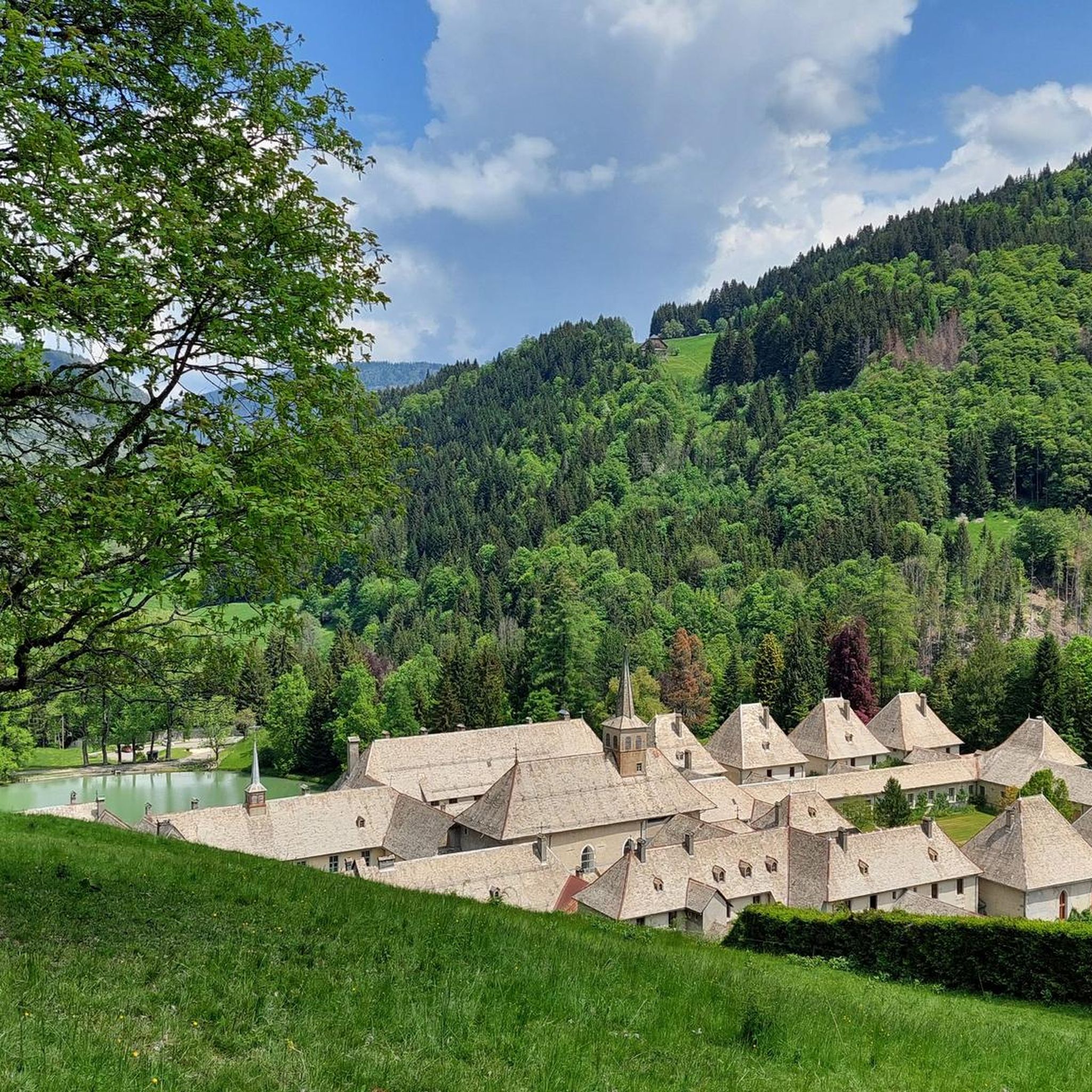
MTB Trails around Le Reposoir
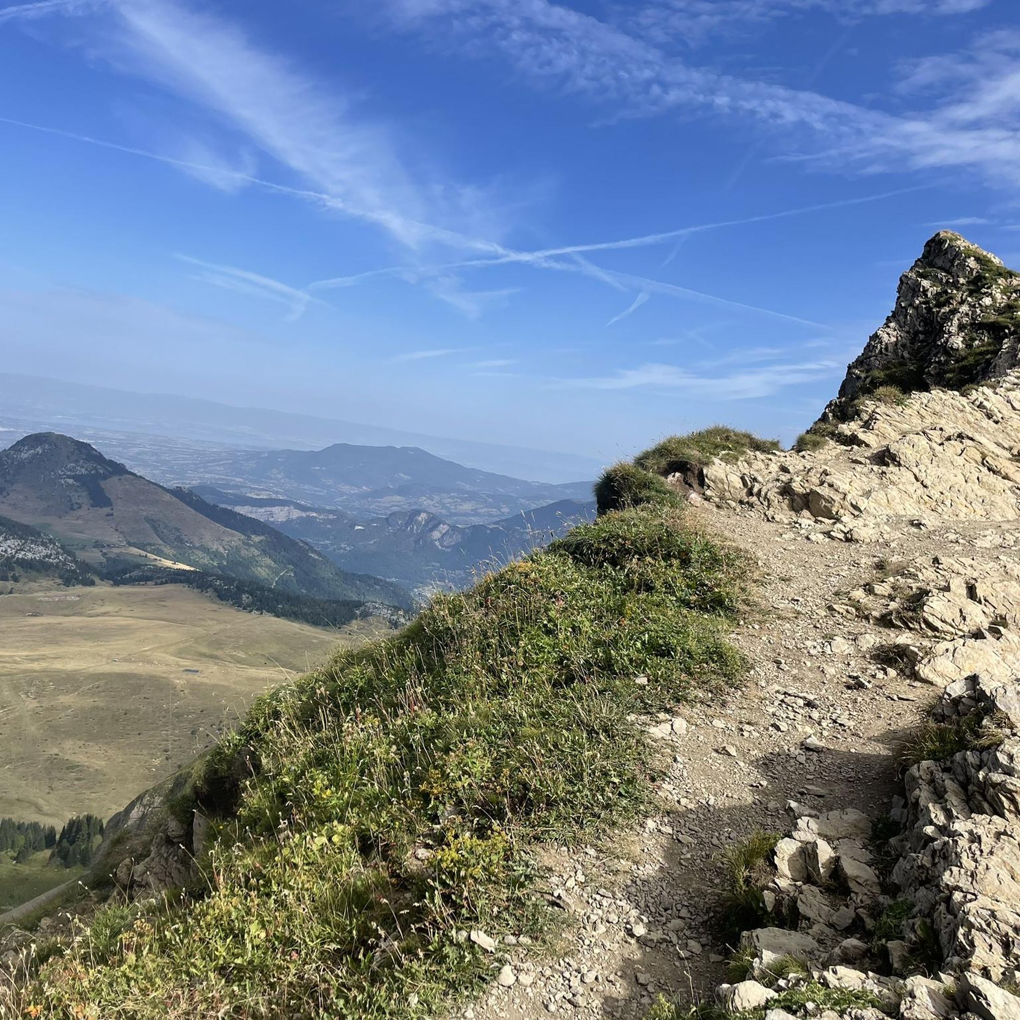
Running Trails around Le Reposoir

Gravel biking around Le Reposoir
Mountain Hikes around Le Reposoir

Tips from the Community

We were there at the end of September 2024, and there was already a lot of snow. Be sure to check the weather conditions beforehand. The snow made the hike significantly more challenging. Many people weren't well prepared.
1
0
Very nice panorama, very pleasant path!
0
0

You can take a beautiful circular hike either from La Clusac or from Jean. A beautiful view rewards the effort of the climb.
0
0

Superb rocky hole at the top of the mountain. Difficult to access (bike on your back) on the way up and 150m unrideable at the start of the descent on either side. Prefer to go up via Grand Crêt and go down via Paccaly. Very technical, steep and exposed trail. Reserved for excellent descenders.
0
0

La Tête des Annes, nestled in the heart of the Aravis massif, offers an exceptional panorama of the Alpine peaks and surrounding valleys. Accessible by hiking trails, this peaceful site is surrounded by flowery Alpine meadows and typical mountain chalets. From the summit, the view extends over the majestic mountains and alpine pastures. On a clear day, Mont Blanc appears in the background.
1
0

A majestic summit resembling a pyramid from the Cenise side, the Jallouvre - or Jalouvre - is a mythical summit whose ascent, although not difficult compared to its neighbor Pointe Blanche overhanging it by 30m, remains in the memory like that of a almost epic adventure between grueling scree (on both sides), the mythical Col du Razoir (the aptly named) and the Passage de la Cravate which, in the end, poses no more problem than that when the residual snowfields have disappeared, unless that we are subject to vertigo. In summary, one of the most beautiful hikes in the area in my opinion, for which you still need to be sure-footed and in good shape, but which can be tamed quite easily. Do not miss !
1
0

After a nice climb, we find ourselves straddling two very different valleys under this natural limestone arch, all in all impressive.
3
2

View from the chairlift towards the head of Annes.
0
0
Frequently Asked Questions
What are some of the most popular mountain peaks to visit around Le Reposoir?
Among the most popular peaks, you'll find Fly Hole, known for its unique natural limestone arch and challenging, exposed trails. Another highly regarded spot is Tête des Annes, which offers exceptional panoramic views of the Alpine peaks and surrounding valleys, including Mont Blanc on clear days. Tête du Danay — view of the Aravis (1,730 m) is also a favorite, providing a 360-degree view of the Aravis, La Clusaz, and Le Grand-Bornand, accessible in all seasons.
Are there any family-friendly mountain peaks or accessible routes for beginners near Le Reposoir?
Yes, for those seeking a more accessible experience, Tête du Danay — view of the Aravis (1,730 m) is considered family-friendly and offers a 360-degree view without significant technical difficulty. Additionally, Pointe de Deux Heures, accessible via a circular hike from Col de la Colombière, features primarily grassy terrain and a relatively short ascent, making it a great option for an enjoyable hiking experience with beautiful views of the Bornes and Aravis ranges.
What kind of unique natural features can I expect to see on the peaks around Le Reposoir?
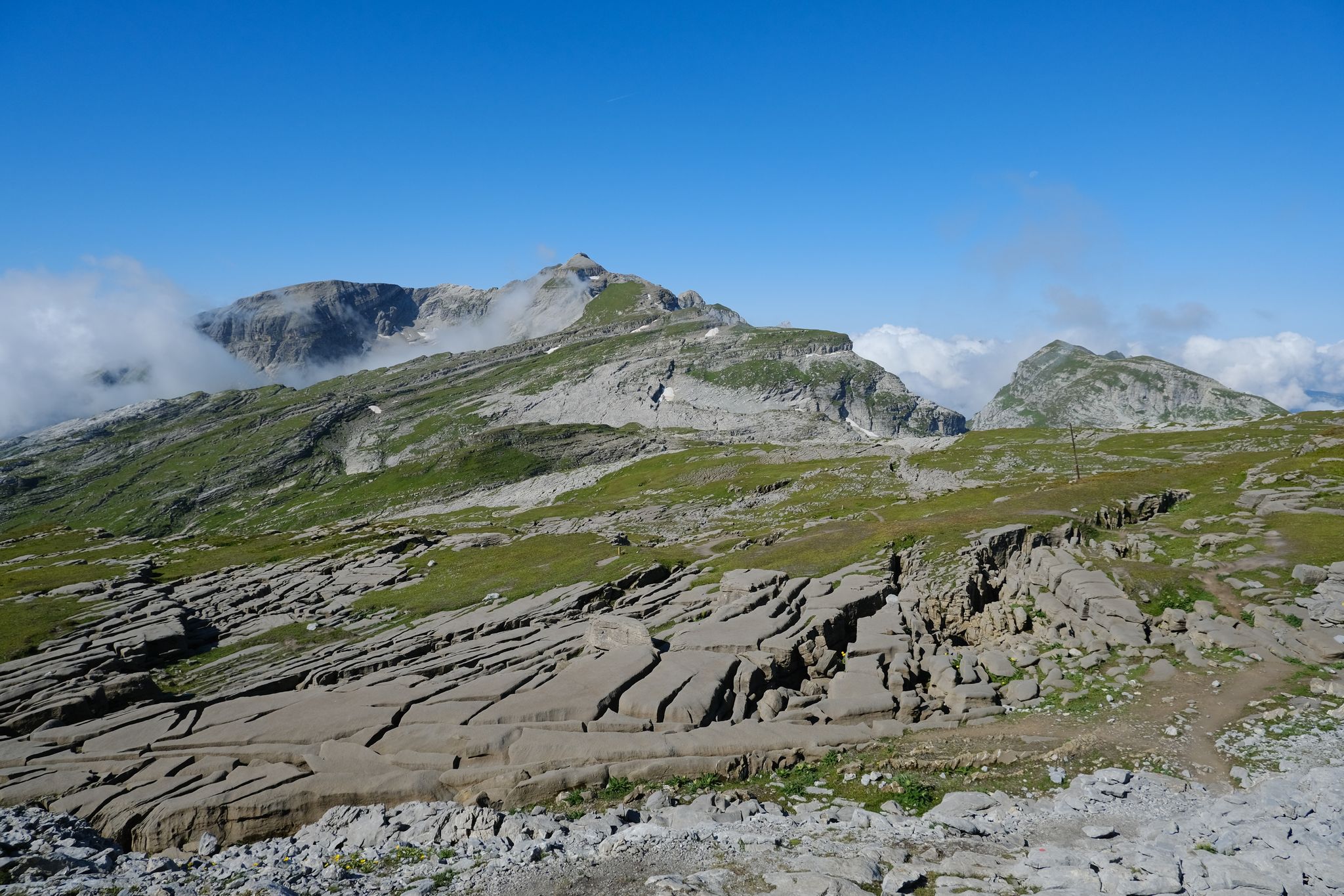
The region boasts several distinctive natural features. Fly Hole is famous for its impressive natural limestone arch. The Grand Bargy and Petit Bargy peaks offer a wild environment with extensive sharp limestone pavement and are part of a Zone of Major Sensitivity for the protection of the bearded vulture. Pointe Percée, the highest point in the Aravis range, is known for its dramatic rock formations and challenging routes.
When is the best time of year to hike the mountain peaks around Le Reposoir?
The best time generally depends on the specific peak and your experience level. While some peaks like Tête du Danay are accessible in all seasons, many higher and more challenging routes, such as those to Fly Hole, can have significant snowpack well into early summer or even late September, making them more challenging or impassable. Late spring to early autumn typically offers the most favorable conditions for most hikes, but always check local conditions before heading out.
What are some challenging mountain peaks for experienced hikers and climbers?
For experienced hikers and climbers, Pointe Percée stands out as the highest point in the Aravis range, offering technical routes like the Cheminées de Sallanches. Fly Hole also presents challenging, exposed trails. The majestic Pic de Jallouvre, with its grueling scree and passages like the Col du Razoir and Passage de la Cravate, is another memorable and demanding ascent.
Are there opportunities to see wildlife or unique flora on the mountain peaks?
Yes, the mountainous environment around Le Reposoir is rich in nature. On the Grand Bargy and Petit Bargy peaks, you might observe rare bird species like the bearded vulture, as these areas are protected zones. Hikes to Pointe de Deux Heures can bring you close to local pastoral life, with opportunities to encounter flocks of sheep and patous (Swiss mountain dogs) in the grassy terrains.
What cultural or historical sites are associated with the mountain peaks in the region?
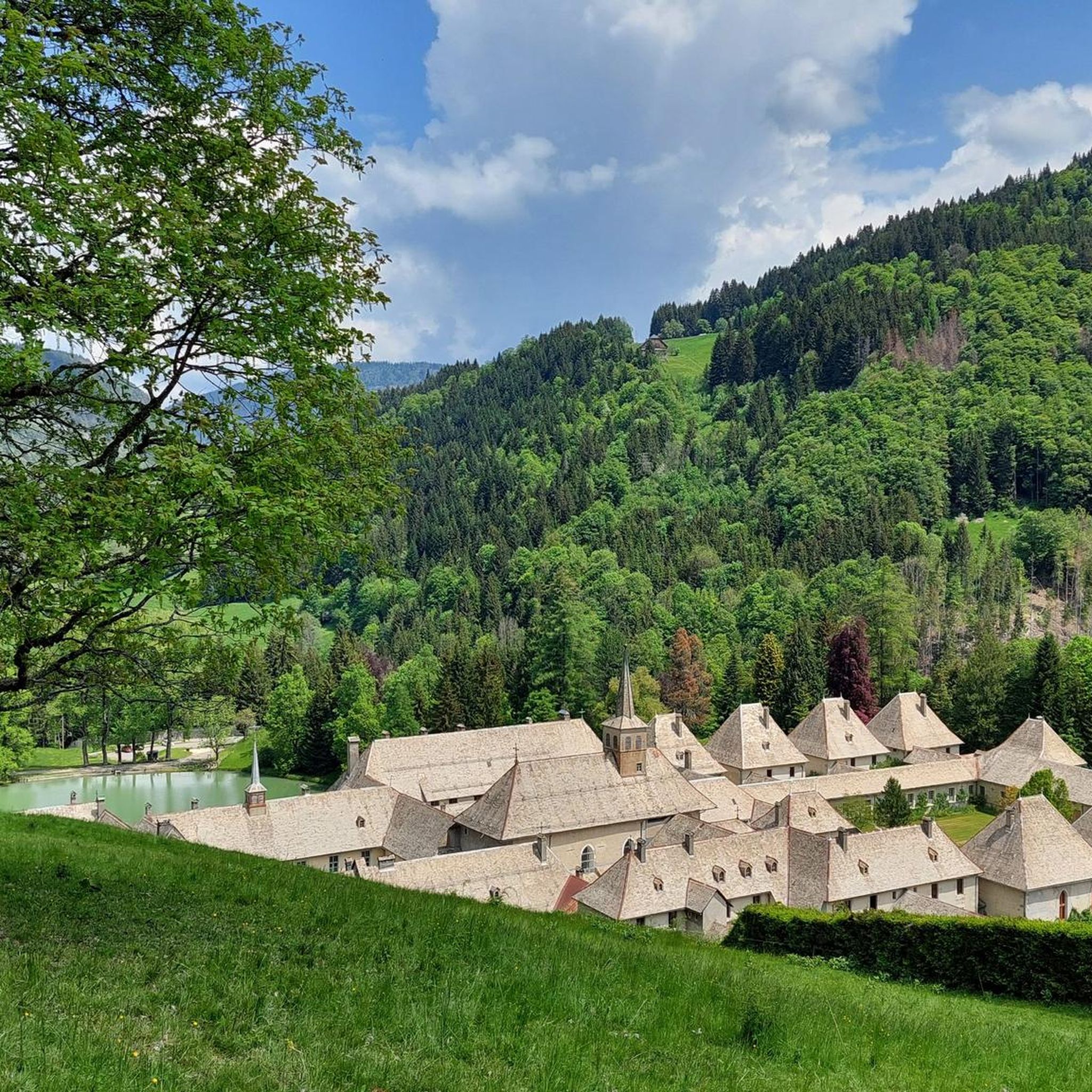
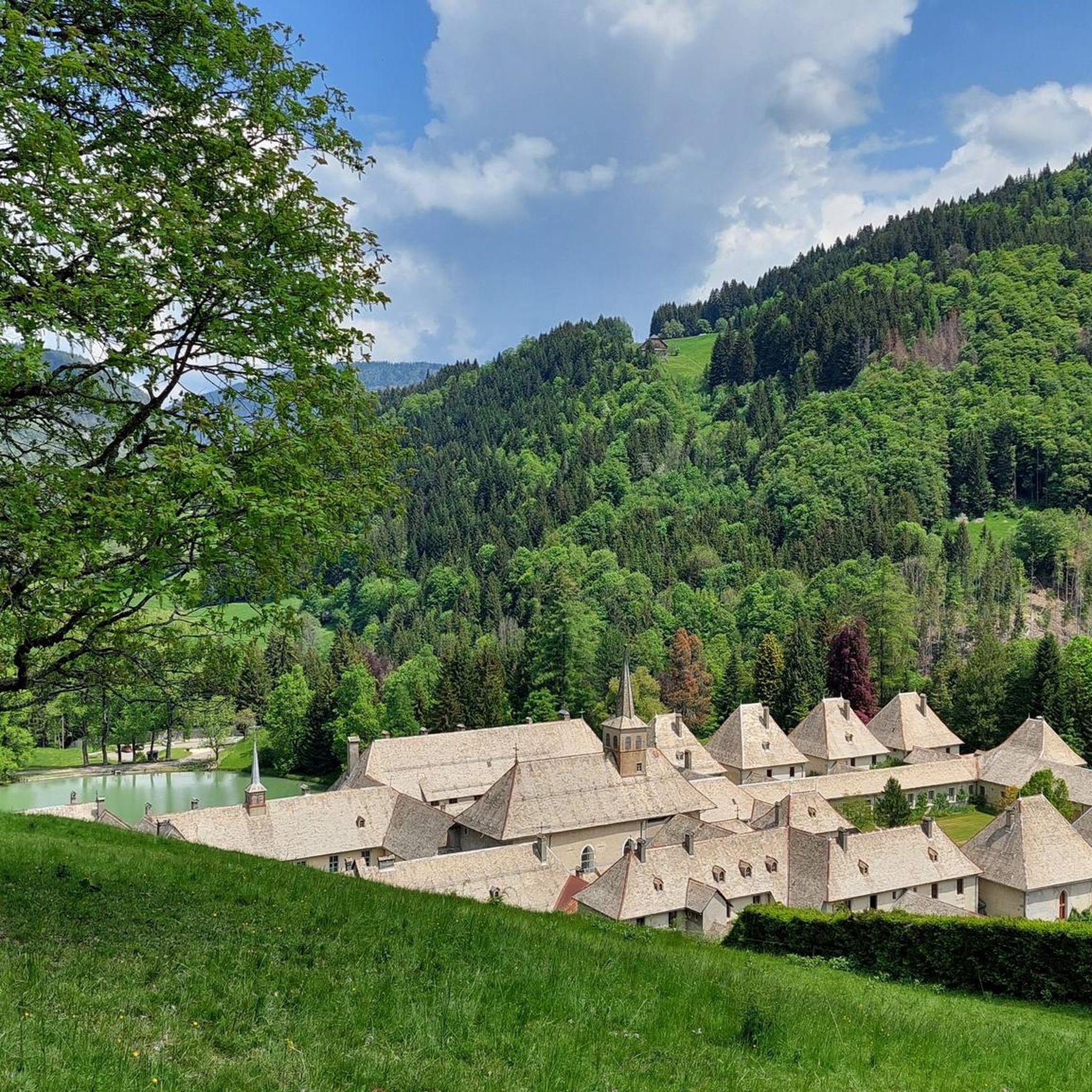
The Chaîne du Reposoir, which forms the northern extremity of the Aravis range, is significant not only for its natural beauty but also for its cultural heritage. Nestled within this chain is the historic Chartreuse du Reposoir, a monastery that adds a layer of cultural significance to the natural landscape. The cross at La Croix des Sept Frères also commemorates local legends, making it an emblematic place with a story.
What outdoor activities, besides hiking, can I do near the mountain peaks around Le Reposoir?
Le Reposoir is a hub for various outdoor activities. You can explore numerous MTB Trails, including challenging routes like the 'Enduro des Annes en boucle'. For road cycling enthusiasts, there are scenic Road Cycling Routes, such as the 'Col de la Colombière — loop from Cluses'. The area also offers diverse Running Trails, like the 'Gramusset Refuge loop from Les Troncs'.
Where can I find panoramic views of Mont Blanc from the peaks around Le Reposoir?
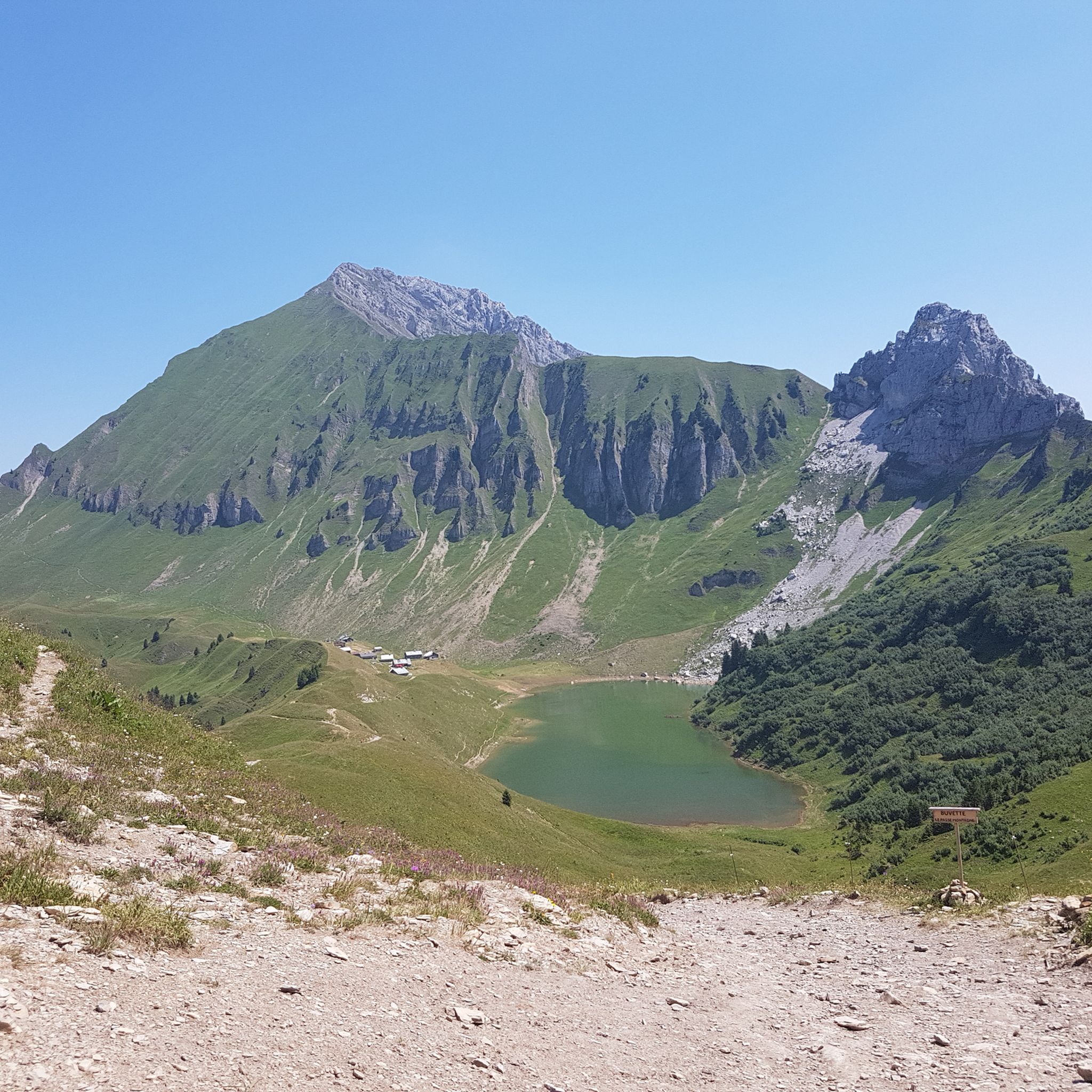
For breathtaking views of the Mont Blanc massif, head to Pointe de Balafrasse. Starting from the Col de la Colombière, the hike to this peak, passing by Lac de Peyre, offers extensive panoramic views of the Aravis range and, on clear days, the majestic Mont Blanc in the distance. Tête des Annes also provides views of Mont Blanc on clear days.
Are there any less strenuous hikes that still offer spectacular views?
Yes, Pointe Chombas offers a less strenuous option. An easy ridge leads to the Refuge Gramusset, which provides magnificent views of the valleys on the Grand Bornand and Le Reposoir sides, as well as the Aravis mountain range and Pointe Percée. This is ideal for those seeking rewarding vistas without a highly demanding climb.
What makes the Chaîne du Reposoir significant?
The Chaîne du Reposoir is significant as it forms the northern extremity of the Aravis range, extending from Pointe d'Areu northwards. It offers a diverse range of hiking opportunities and is notable for its geological characteristics, primarily consisting of limestones and marls. The chain also cradles the historic Chartreuse du Reposoir, adding cultural depth to its natural beauty. You can learn more about its geography and history on Wikipedia.
Most popular routes around Le Reposoir
Most popular attractions around Le Reposoir

Get inspired with the komoot mobile app


Explore more
See even more amazing summits around Le Reposoir with these guides:
