The best MTB trails around Verrières-De-Joux
4.3
(310)
2,391
riders
154
rides
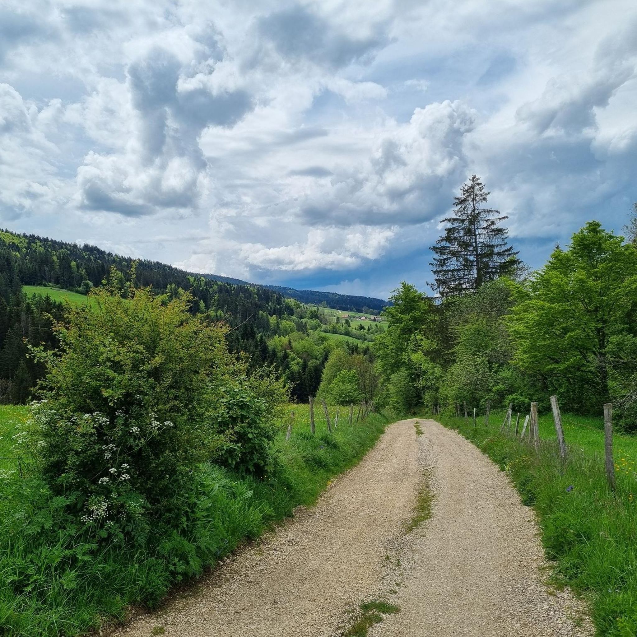
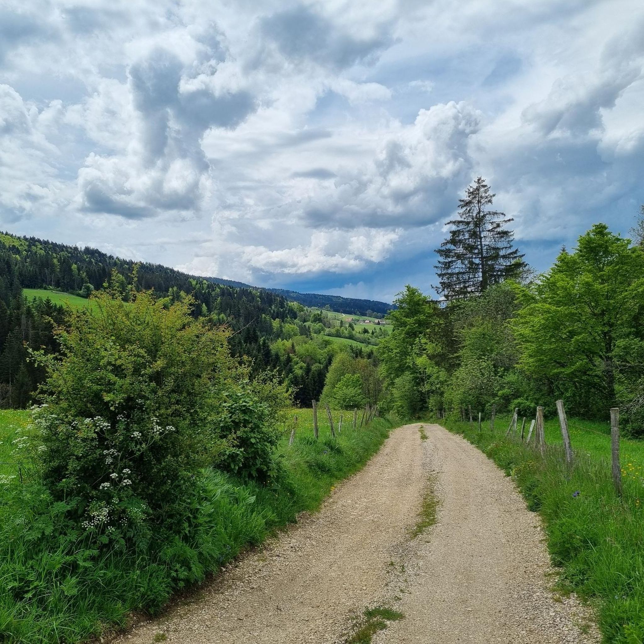
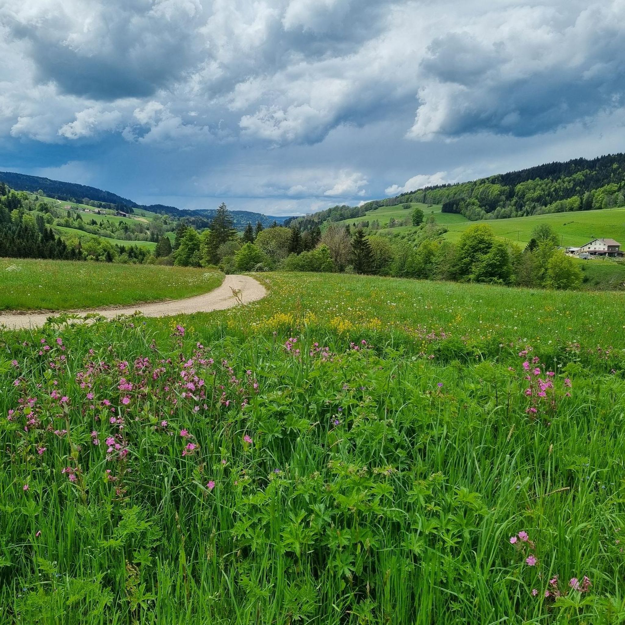
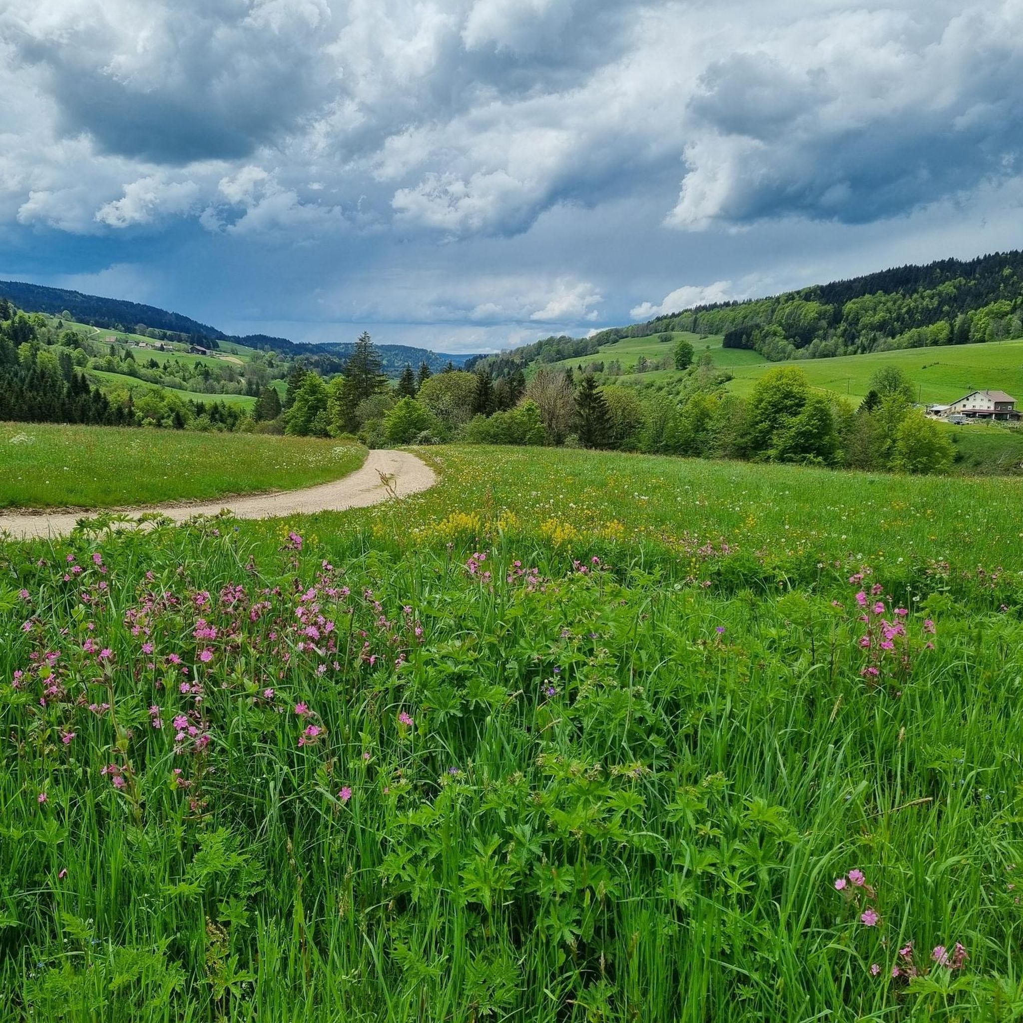
Mountain biking around Verrières-De-Joux features a landscape characterized by forested hills, deep valleys, and mountain passes. The region's terrain includes a mix of singletrack, gravel paths, and wider forest roads, suitable for various skill levels. Elevation changes are common, with routes traversing both lower-lying areas and higher points offering expansive views. This area provides a diverse environment for mountain biking, from challenging climbs to more gentle, scenic rides.
Best mountain bike trails around Verrières-De-Joux
- The most popular mountain bike trail…
Last updated: October 10, 2026
5.0
(4)
28
riders
18.8km
01:33
270m
270m
Easy mountain bike ride. Great for any fitness level. Suitable for all skill levels.
3.7
(3)
31
riders
36.4km
03:28
920m
920m
Hard mountain bike ride. Very good fitness required. Advanced riding skills necessary. Some portions of the route may require you to push your bike.

4.0
(2)
19
riders
35.8km
03:29
950m
950m
Hard mountain bike ride. Very good fitness required. Advanced riding skills necessary.
5.0
(1)
13
riders
28.9km
02:31
610m
610m
Moderate mountain bike ride. Good fitness required. Advanced riding skills necessary.
3.0
(1)
7
riders
12.9km
01:04
230m
230m
Easy mountain bike ride. Great for any fitness level. Suitable for all skill levels.
Get access to more routes and recommendations from other explorers.
Already have an account?
Our route recommendations are based on thousands of hikes, rides, and runs completed by other people on komoot.
Start today with a free account
Your next adventure awaits.
Tips from the Community

Single track of Fourgs blue color 👍
0
0

The highest point of the Larmont mountain range, the Grand Taureau, at an altitude of 1,323 m, offers panoramic views of the Alps. An orientation table helps you better decipher the landscape. For hikers, multiple trails cross this area.
2
0

Built between 1845 and 1851 in the commune of La-Cluse-et-Mijoux, at an altitude of 1032 m, with the mission of protecting Fort de Joux and defending the Pontarlier passage.
0
0

Very nice, comfortable round without difficulties
2
0

This short section runs along a technical single track and at times offers some beautiful views of Pontarlier.
0
0

La Cluse-et-Mijoux is a pretty village nestled at the bottom of a valley in the Jura Mountains. Busy with cars heading to Switzerland, the town boasts a wide range of shops and services. History buffs can visit Fort de Joux or Fort Malher, which overlook La Cluse-et-Mijoux. Several chapels (Saint-Léger and Saint-Claude) also dot the outskirts of the town.
1
0

Village located between the Joux fortified castle and Fort Malher
0
0

Frequently Asked Questions
How many mountain bike trails are available around Verrières-De-Joux?
There are over 160 mountain bike trails around Verrières-De-Joux, offering a wide range of options for different skill levels. This includes 15 easy routes, 86 moderate routes, and 59 difficult routes.
Are there easy mountain bike trails suitable for beginners or families in Verrières-De-Joux?
Yes, Verrières-De-Joux offers 15 easy mountain bike trails. A good option for a more relaxed ride is the Otten Station Shelter loop from Les Fourgs, which is 11.7 miles (18.8 km) long and takes about 1 hour 33 minutes to complete. Another easy route is the Otten Station Shelter – Super Single loop from Les Fourgs, at 8 miles (12.9 km).
What kind of terrain can I expect on mountain bike trails in Verrières-De-Joux?
The terrain around Verrières-De-Joux is characterized by forested hills, deep valleys, and mountain passes. You'll encounter a mix of singletrack, gravel paths, and wider forest roads. Expect elevation changes, with routes traversing both lower-lying areas and higher points that offer expansive views.
Are there challenging mountain bike routes for advanced riders?
Absolutely. For experienced mountain bikers, there are 59 difficult routes available. A notable challenging trail is the La Cluse-et-Mijoux – View of the Château de Joux loop from Mauvais Crêt, which is 22.5 miles (36.2 km) long and features significant elevation changes, offering panoramic views of the historic Château de Joux.
What are some interesting sights or landmarks I can see along the mountain bike trails?
Many trails offer scenic views and pass by interesting natural features. You can find viewpoints like the Viewpoint and Chapel overlooking the lake or the Petites Roches Ridge. The region also features natural monuments such as the Chasseron Summit and the Karst Spring of the Areuse. Some routes, like the La Cluse-et-Mijoux loop, offer views of the historic Château de Joux.
Are there any circular mountain bike routes in the area?
Yes, many of the mountain bike trails around Verrières-De-Joux are designed as loops. Examples include the easy Otten Station Shelter loop from Les Fourgs, the moderate Col des Étroits Pass – Col de l'Aiguillon loop from La Côte-aux-Fées, and the challenging La Cluse-et-Mijoux – View of the Château de Joux loop from Mauvais Crêt.
What do other mountain bikers say about the trails in Verrières-De-Joux?
The mountain bike trails in Verrières-De-Joux are highly rated by the komoot community, with an average score of 4.3 stars from over 200 reviews. More than 2000 mountain bikers have explored the varied terrain, often praising the diverse environment, from challenging climbs to scenic rides through forested areas and open pastures.
What is the typical duration for mountain bike trails in Verrières-De-Joux?
Trail durations vary significantly based on difficulty and distance. For instance, an easy route like the Otten Station Shelter loop from Les Fourgs takes about 1 hour 33 minutes, while a moderate trail such as the Col des Étroits Pass – Col de l'Aiguillon loop from La Côte-aux-Fées typically takes around 2 hours 29 minutes. More difficult routes can take much longer, with some exceeding 4 hours.
Are there mountain bike trails that pass by lakes or offer water views?
While the immediate guide focuses on mountain biking, the region around Verrières-De-Joux is known for its lakes. Some highlights in the broader area include the View of Lac de Saint-Point and the Route du Lac de Saint-Point. While not directly on all MTB trails, these are nearby attractions worth exploring.
What is the best time of year for mountain biking in Verrières-De-Joux?
The best time for mountain biking in Verrières-De-Joux is generally from spring through autumn, when the weather is milder and trails are clear of snow. The forested areas provide good shade in summer, and autumn offers beautiful foliage. Winter conditions can make some trails inaccessible or require specialized equipment due to snow and ice.
Are there any mountain bike trails that offer viewpoints?
Yes, the region's terrain includes higher points that offer expansive views. For example, the difficult La Cluse-et-Mijoux – View of the Château de Joux loop from Mauvais Crêt provides panoramic views of the historic Château de Joux and surrounding valleys. Other highlights like the Viewpoint and Chapel overlooking the lake are also accessible in the wider area.
Are there any moderate mountain bike trails for intermediate riders?
Yes, Verrières-De-Joux has 86 moderate mountain bike routes. A popular choice is the Col des Étroits Pass – Col de l'Aiguillon loop from La Côte-aux-Fées, which is 17.8 miles (28.6 km) long and takes about 2 hours 29 minutes, leading through mountain passes with varied terrain. Another moderate option is the Les Hôpitaux-Neufs – Flower Meadow Trail loop from Les Fourgs, covering 19.3 miles (31 km).
Most popular routes around Verrières-De-Joux
Most popular attractions around Verrières-De-Joux

Get inspired with the komoot mobile app


Explore more
Browse the best MTB trails in other regions.
