The best MTB trails around Tournemire
4.4
(96)
378
riders
41
rides
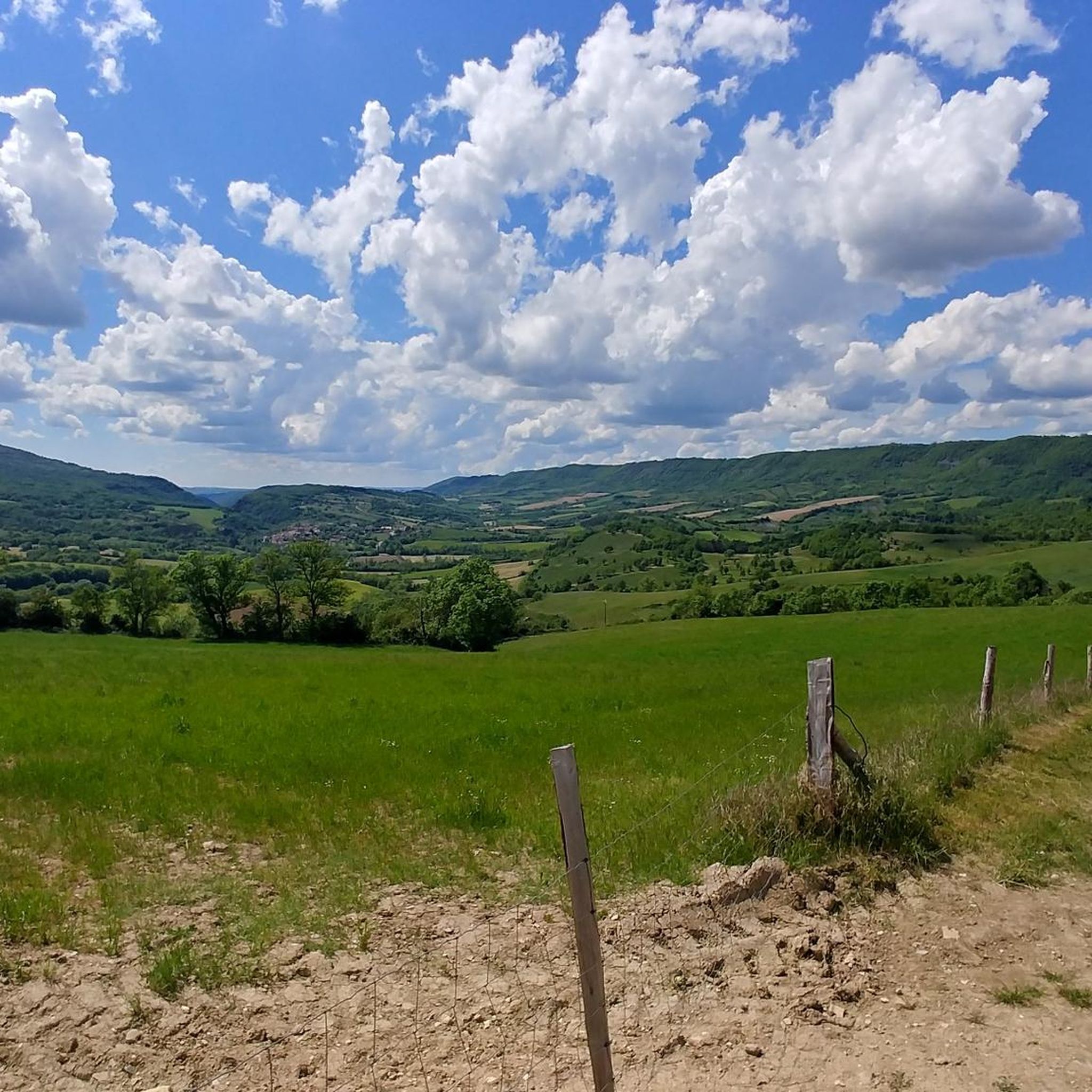
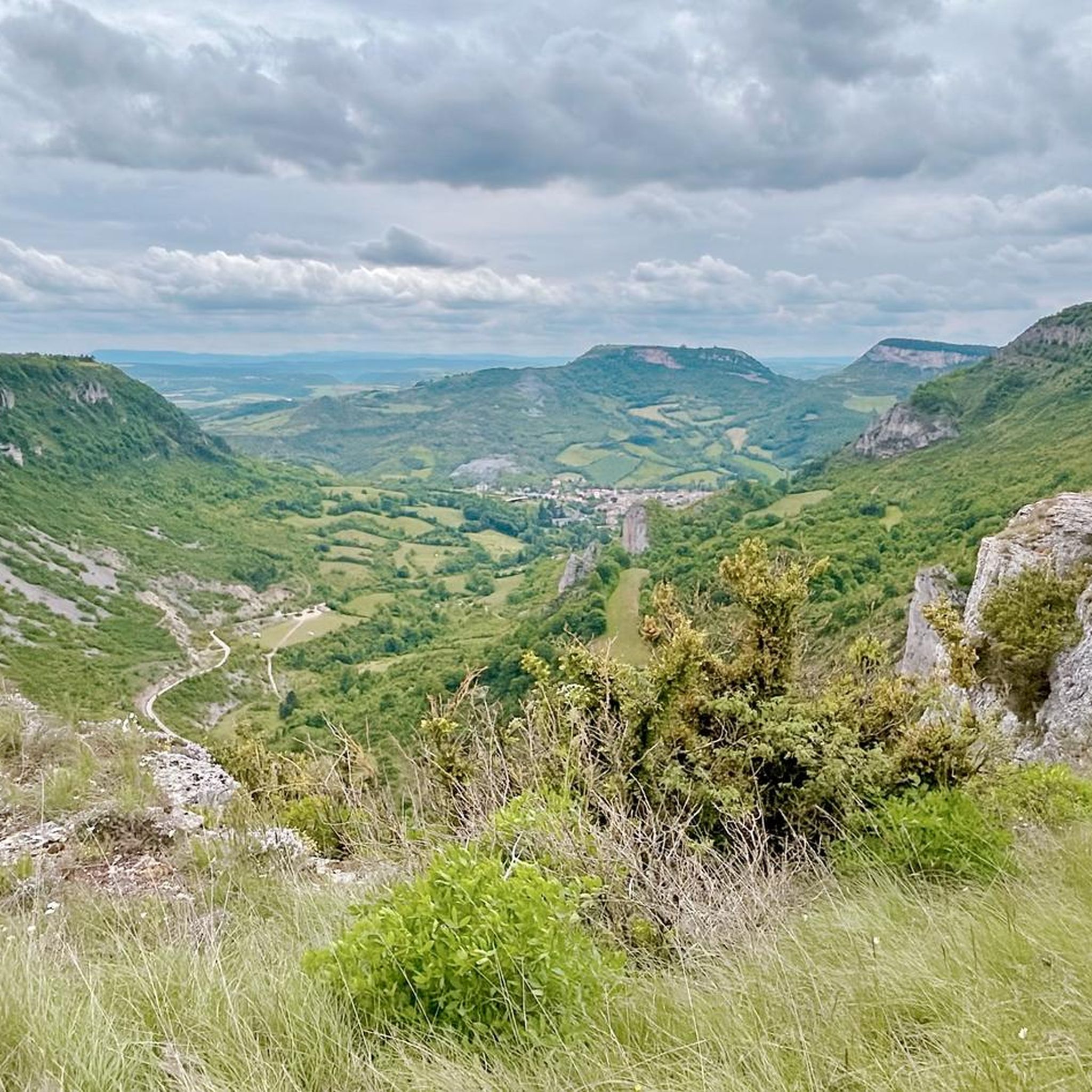
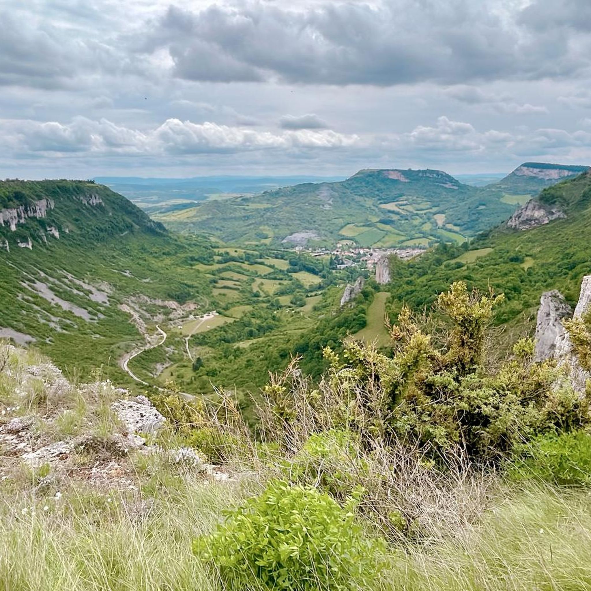
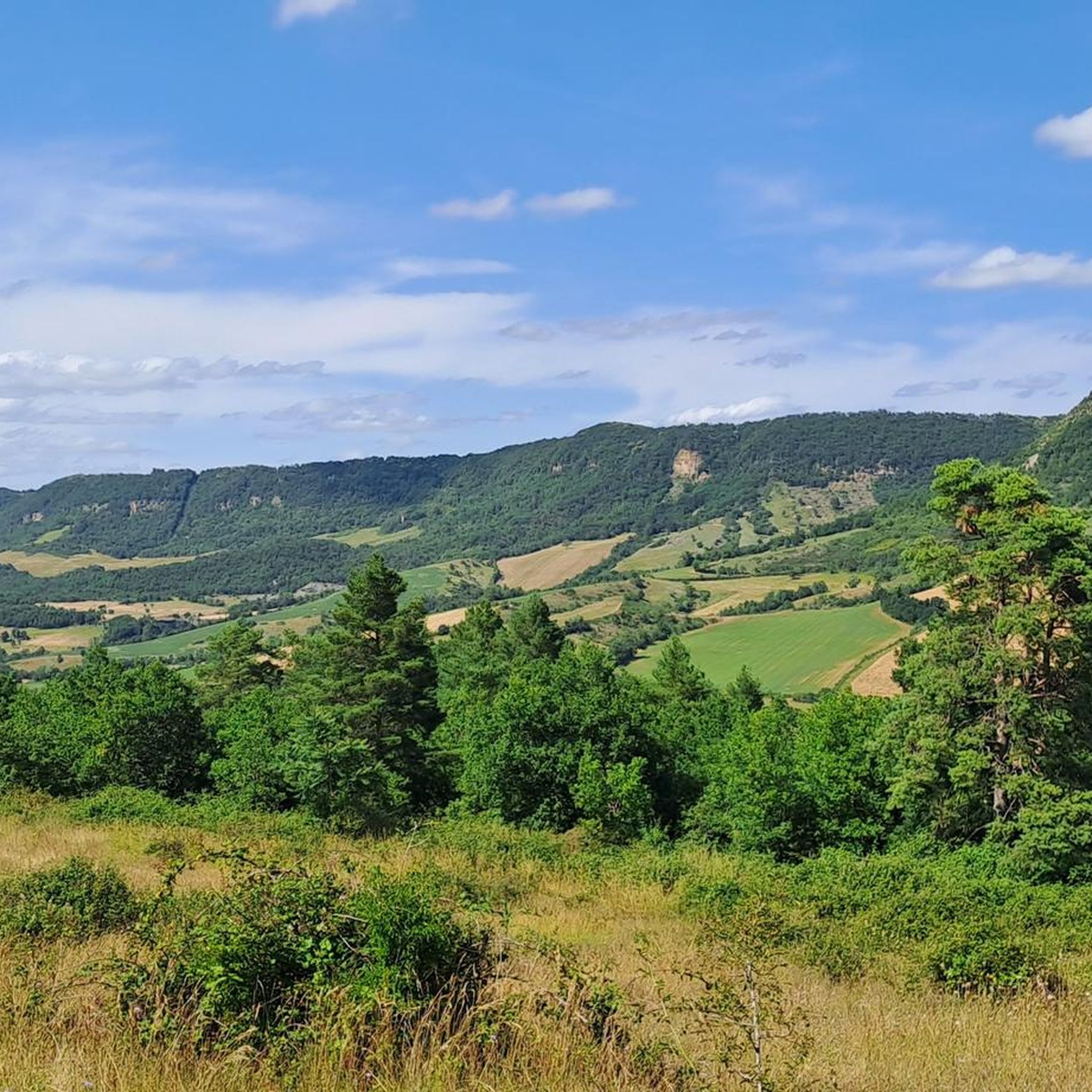
Mountain biking around Tournemire offers a diverse landscape characterized by deep cirques, elevated plateaus, and verdant valleys. The region features a mix of challenging ascents and flowing descents, often passing through forests and open countryside. Numerous viewpoints provide expansive vistas over the surrounding terrain, making for rewarding rides. The varied topography ensures a range of mountain bike trails suitable for different skill levels.
Best mountain bike trails around Tournemire
- The most popular mountain bike trail is Verzolet mountain bike trail…
Last updated: October 11, 2026
4.0
(6)
30
riders
Moderate mountain bike ride. Good fitness required. Suitable for all skill levels.
5.0
(1)
7
riders
42.9km
03:18
800m
800m
Moderate mountain bike ride. Good fitness required. Suitable for all skill levels.

12
riders
115km
09:15
1,790m
1,780m
Hard mountain bike ride. Very good fitness required. Advanced riding skills necessary. Some portions of the route may require you to push your bike.
3
riders
47.8km
04:37
1,200m
1,200m
Hard mountain bike ride. Very good fitness required. Advanced riding skills necessary.
4
riders
47.1km
04:09
1,070m
1,070m
Hard mountain bike ride. Very good fitness required. Advanced riding skills necessary. Some portions of the route may require you to push your bike.
Get access to more routes and recommendations from other explorers.
Already have an account?
Our route recommendations are based on thousands of hikes, rides, and runs completed by other people on komoot.
Start today with a free account
Your next adventure awaits.
Tips from the Community

Located in the heart of the Larzac plateau, in the Aveyron, La Couvertoirade is a superb fortified medieval city, ranked among the Most Beautiful Villages of France. Formerly owned by the Templars, then by the Hospitallers, it captivates with its 15th-century ramparts, its cobbled streets, its stone houses, and its Templar castle. Don't miss the church, the communal oven, and the lavogne, a traditional basin for collecting rainwater.
0
0
From the Larzac plateau, the Brunas site offers a vast panorama of the Millau valley. Stretched between the two banks of the Tarn, the viaduct with its seven concrete piers appears in its entirety. Behind it unfolds the entire causse Rouge, a large limestone plateau whose undulations dominate the valley. Then, the Puech d’Andan is distinguished by its wooded silhouette, cut in two by a clear central notch. Further to the right stands the Pouncho d'Agast, a pyramidal promontory marking the beginning of the causse Noir at an altitude of 841 m. Brunas is also a true site for free flight. The take-off area is located directly on the plateau; the site is mainly used with a north wind and allows paragliders to take off and then land in the vicinity of the same sector, with approximately 370 m of elevation difference down to the valley. The spectacle of the sails evolving in front of the viaduct adds a particular dimension to this panorama.
2
0
Isolated in the middle of the open landscapes of the Larzac, the fortified farm of Brouzes is a remarkable testimony to medieval rural architecture. The complex, whose construction began in 1491, is organized in a rectangle around three courtyards. It was later remodeled, notably in 1628, then in the 18th century. Behind its appearance as a large farm lies a true defensive architecture: the buildings are largely vaulted, a stable has loopholes, two towers reinforce the south side, and a dovecote tower as well as an old bread oven complete the complex. The farm nevertheless experienced a long period of abandonment. Uninhabited from 1922 to 1970, it was progressively looted and severely degraded. In the 1970s, an artist couple, Élisabeth and Claude Baillon, bought it and began its restoration. Their intervention largely contributed to saving the complex, which was finally classified as a historic monument in 1990.
2
0
Perché at an altitude of approximately 730 meters, the Cap de Coste viewpoint overlooks the eastern end of the Boundoulaou cirque. It reveals a vast panorama of the Millau basin and its surrounding massifs. To the left, the easily recognizable Millau Viaduct spans the Tarn valley, connecting the Larzac to the Causse Rouge. Further to the right stretches the latter: a large limestone plateau whose undulations dominate the valley. Then, the Puech d’Andan stands out with its wooded silhouette, cut in two by a clear central notch. Finally, further away, the Pouncho d’Agast, an emblematic relief of the Causse Noir, is easily recognized by its profile like a true limestone pyramid.
2
0
Entering La Couvertoirade, I discovered an incredibly well-preserved medieval village. The ramparts, narrow streets, and serene atmosphere make it a place where you naturally take the time to stroll.
2
0

Saint-Affrique itself, even though I only passed through quickly, it's already a small town, I didn't find any particular charm. It's not ugly, it's not particularly beautiful either. It has the merit of existing.
0
0
Behind its perfectly preserved ramparts lies an astonishing Templar heritage. Founded in the 12th century, the commandery of Saint-Eulalie-de-Cernon was a strategic center of the Order of the Temple on the Larzac. A remarkably preserved village!
2
0

Starting from Croix de Crepounac (small parking lot very close by, located in the hairpin bend of the road), you can hike relaxed along the rock edge and enjoy the wonderful view. Those who prefer it more sporty can ascend from Tournemire.
0
0
Frequently Asked Questions
Are there mountain bike trails suitable for beginners or families in Tournemire?
Yes, Tournemire offers a few easy mountain bike trails perfect for beginners or families. While the majority are moderate, you can find routes that provide a gentle introduction to the region's diverse landscapes. For example, there are 2 easy routes available, which are generally shorter and have less elevation gain.
What options are available for experienced mountain bikers seeking a challenge?
Experienced mountain bikers will find plenty of challenging routes around Tournemire. There are 8 difficult trails, often featuring significant ascents and technical descents. A notable difficult route is the Brunas Viewpoint – Cap de Coste Viewpoint loop from Tournemire - Roquefort, which covers 71.6 miles (115.3 km) and involves substantial elevation changes.
What is the typical length and duration of mountain bike trails around Tournemire?
The mountain bike trails in Tournemire vary significantly in length and duration. Many moderate routes are around 25-30 miles (40-50 km) and can take 3-4 hours to complete. Longer, more challenging trails, like the Brunas Viewpoint – Cap de Coste Viewpoint loop, can extend over 70 miles (115 km) and require more than 9 hours of riding.
Are most mountain bike trails in Tournemire loop routes?
Yes, many of the mountain bike trails around Tournemire are designed as loop routes, allowing you to start and finish at the same point. This is convenient for riders who drive to the trailheads. Examples include the popular Verzolet mountain bike trail – Moulin de Gotty loop and the challenging View of Cirque de Tournemire loop.
What scenic viewpoints or natural attractions can be found along the mountain bike trails?
The trails often lead to stunning viewpoints and natural monuments. You can expect to see dramatic cirques and expansive vistas. Highlights include the Cap de Coste Viewpoint and the impressive Cirque de Tournemire. The region's topography, with its deep cirques and elevated plateaus, ensures rewarding views throughout your ride.
What do other mountain bikers say about the trails in Tournemire?
The mountain bike trails in Tournemire are highly regarded by the komoot community, with an average rating of 4.5 stars from over 70 reviews. Riders often praise the diverse landscapes, challenging ascents, and rewarding views over the surrounding terrain. Many appreciate the mix of forest paths and open countryside.
When is the best time of year to go mountain biking in Tournemire?
The best time for mountain biking in Tournemire is typically during spring and autumn when the weather is milder and the natural scenery is at its most vibrant. Summer can also be enjoyable, but it's advisable to start early to avoid the midday heat. Winters can be cold and some trails might be affected by wet conditions.
Are there designated parking areas for mountain bike trailheads in Tournemire?
While specific parking details for every trailhead are not always listed, many routes around Tournemire start from villages or accessible points where public parking is generally available. It's recommended to check the individual route descriptions on komoot for more precise parking information near your chosen starting point.
How can I find out about current trail conditions in Tournemire?
For the most up-to-date information on trail conditions, it's best to consult local weather forecasts and check recent komoot tour comments or photos from other users. Local tourist information centers or bike shops in the Tournemire area might also provide insights into current trail status, especially after heavy rain or during specific seasons.
Are there any historical sites or cultural landmarks accessible by mountain bike?
Yes, some mountain bike routes in the Tournemire area pass by or near historical sites. For instance, the Tiergues Dolmen – Saint-Affrique loop from Massergues explores historical sites and natural beauty, offering a cultural dimension to your ride. You might also encounter other local points of interest like the The Rock Engraved with Two Crosses.
What kind of terrain can I expect on the mountain bike trails in Tournemire?
The terrain around Tournemire is diverse, characterized by deep cirques, elevated plateaus, and verdant valleys. You can expect a mix of forest paths, open countryside, and sometimes rocky sections. The trails often feature challenging ascents followed by flowing descents, providing a varied and engaging riding experience.
Are there any routes that offer views of the Cirque de Tournemire?
Absolutely. The dramatic Cirque de Tournemire is a prominent feature of the landscape, and several routes offer spectacular views of it. The View of Cirque de Tournemire loop from Tournemire - Roquefort is specifically designed to showcase this natural wonder, providing panoramic vistas during your ride.
Most popular routes around Tournemire
Most popular attractions around Tournemire

Get inspired with the komoot mobile app


Explore more
Browse the best MTB trails in other regions.
