The best walks and hikes around Gagnières
4.5
(1534)
7,662
hikers
21
hikes
Hiking around Gagnières offers diverse landscapes shaped by the Ganière River, featuring sunny limestone areas, colorful schists, and karst relief. The region provides access to the Cévennes National Park and includes significant natural attractions like the Bois de Païolive and the Gorges du Chassezac. This varied terrain provides a range of hiking experiences for different skill levels.
Best hiking trails around Gagnières
- The most popular hiking route is Doulovy Viaduct Loop, a 7.8 miles (12.6 km) trail that takes…
Last updated: October 10, 2026
4.3
(16)
49
hikers
12.6km
03:28
200m
200m
Moderate hike. Good fitness required. Easily-accessible paths. Suitable for all skill levels.
4.0
(1)
17
hikers
9.00km
02:22
80m
80m
Moderate hike. Good fitness required. Easily-accessible paths. Suitable for all skill levels.

5.0
(1)
5
hikers
7.22km
02:06
190m
190m
Moderate hike. Good fitness required. Easily-accessible paths. Suitable for all skill levels.
4.5
(4)
12
hikers
6.44km
01:48
120m
120m
Easy hike. Great for any fitness level. Easily-accessible paths. Suitable for all skill levels.
4.0
(1)
6
hikers
10.7km
03:19
370m
370m
Moderate hike. Good fitness required. Easily-accessible paths. Suitable for all skill levels.
Get access to more routes and recommendations from other explorers.
Already have an account?
Our route recommendations are based on thousands of hikes, rides, and runs completed by other people on komoot.
Start today with a free account
Your next adventure awaits.
Tips from the Community

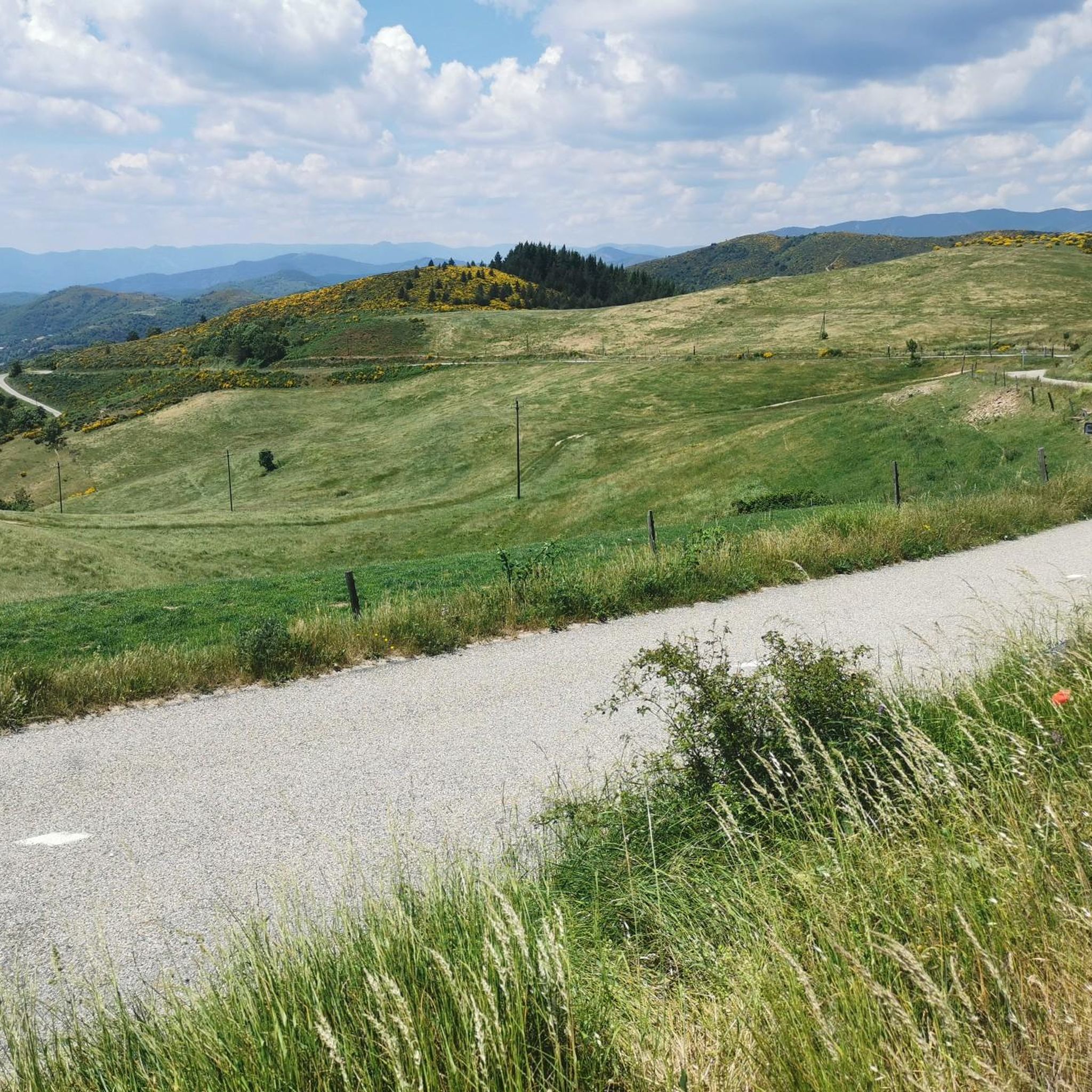
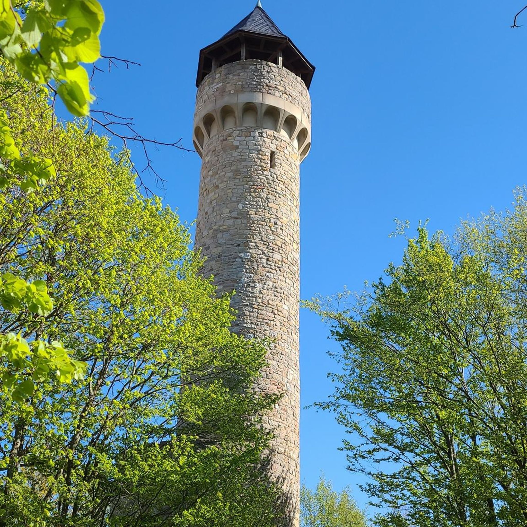
Beautiful neo-Romanesque chapel, recently restored thanks to the Heritage Foundation. It is located at the top of a promontory in a magnificent setting with a 360° view (presence of a bench and 2 orientation tables to the north and south to make the most of the landscape) and is certainly worth the climb from the Hameau de la Pierre Morte via the Alexis Reynard path. The ascent is possible by mountain bike or even by gravel bike despite some stones at the end and gradients reaching 16% (barely 1 km from the road)
0
0

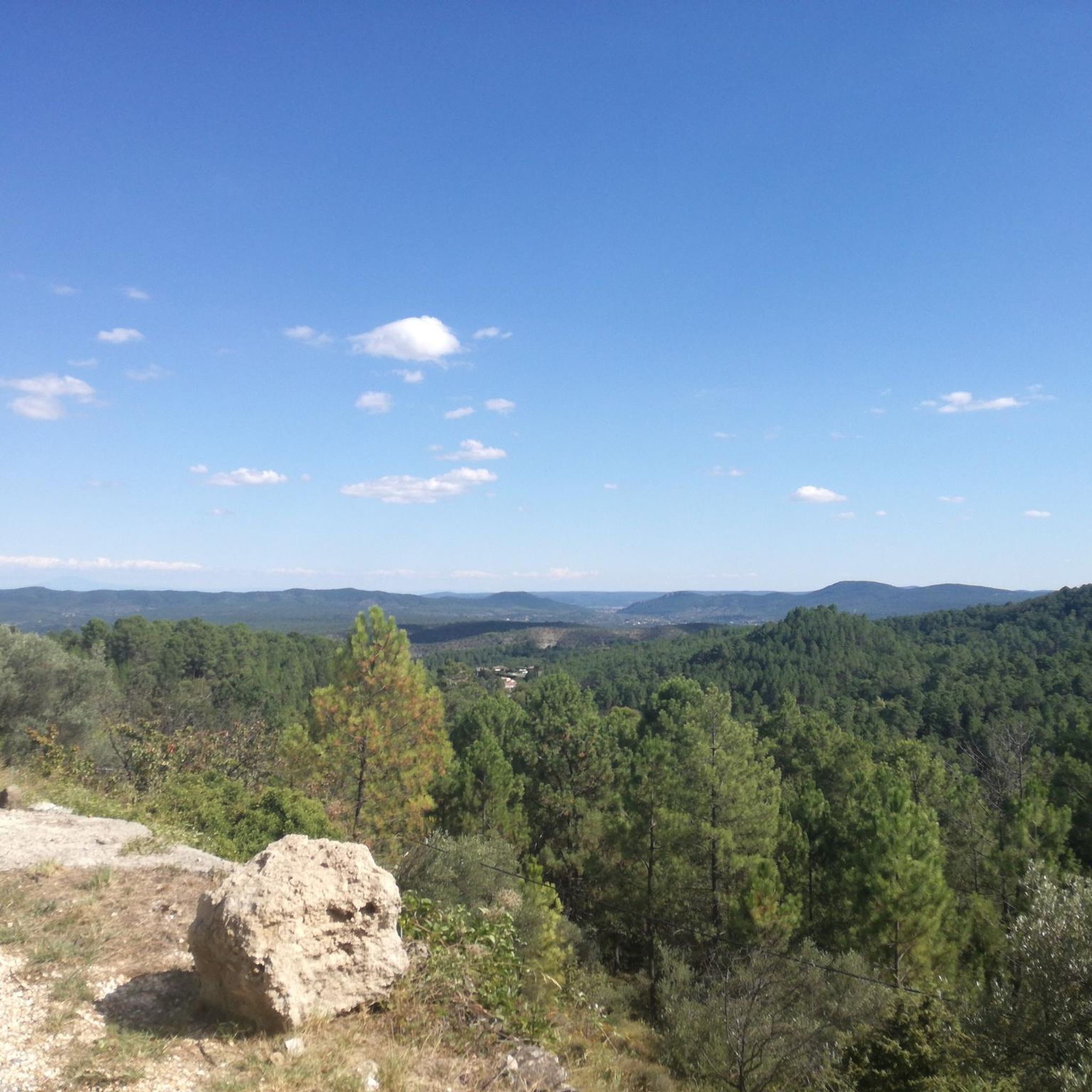
The road surface is great. Even after/during rain. Great idea to convert disused railway lines into cycle paths. Wonderful panoramas and no car traffic, no significant inclines.
0
0

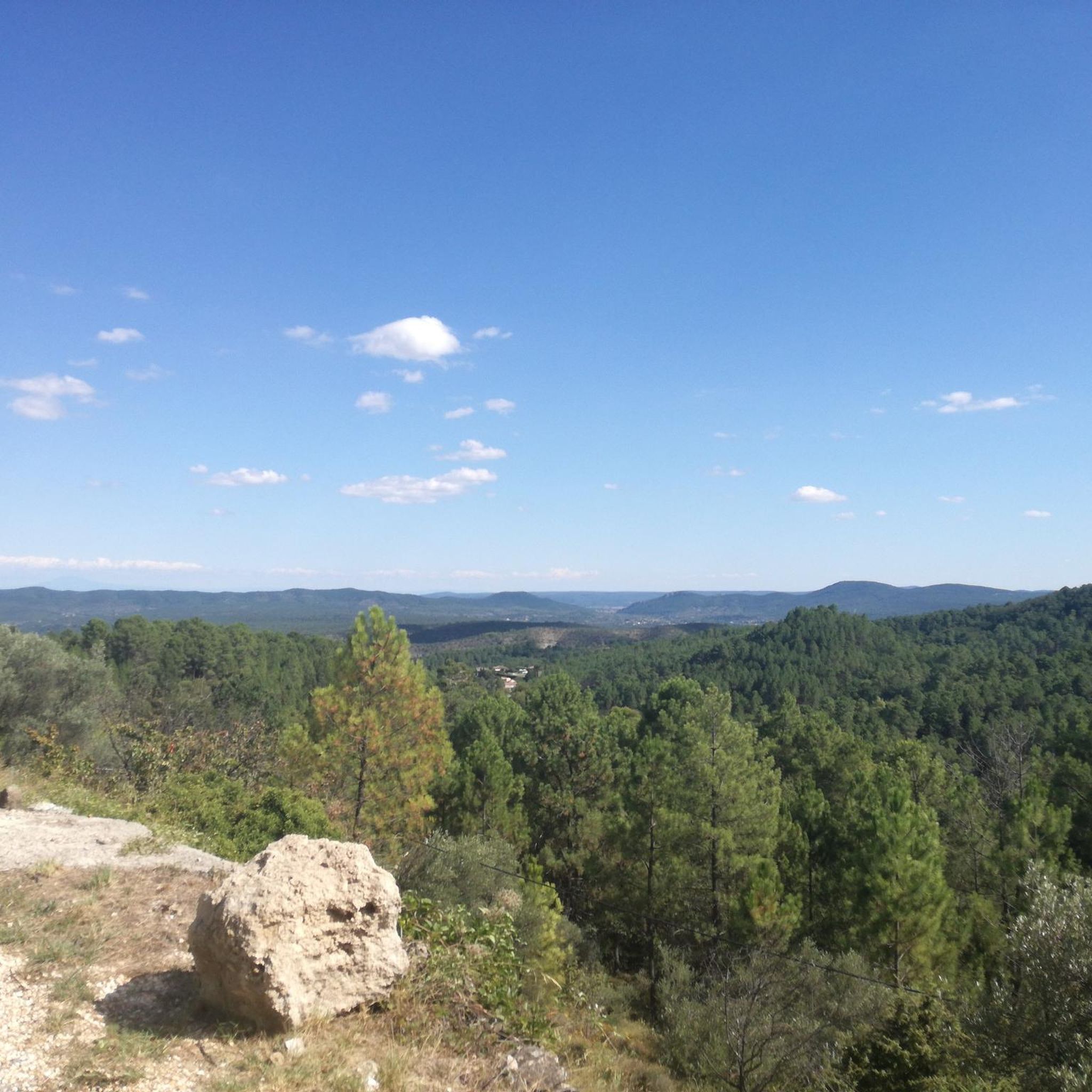
Shortly after this point, to the north, there is a ford where the water reaches up to the knees in spring.
0
0

On days when there is no market, this is a good starting point
0
0

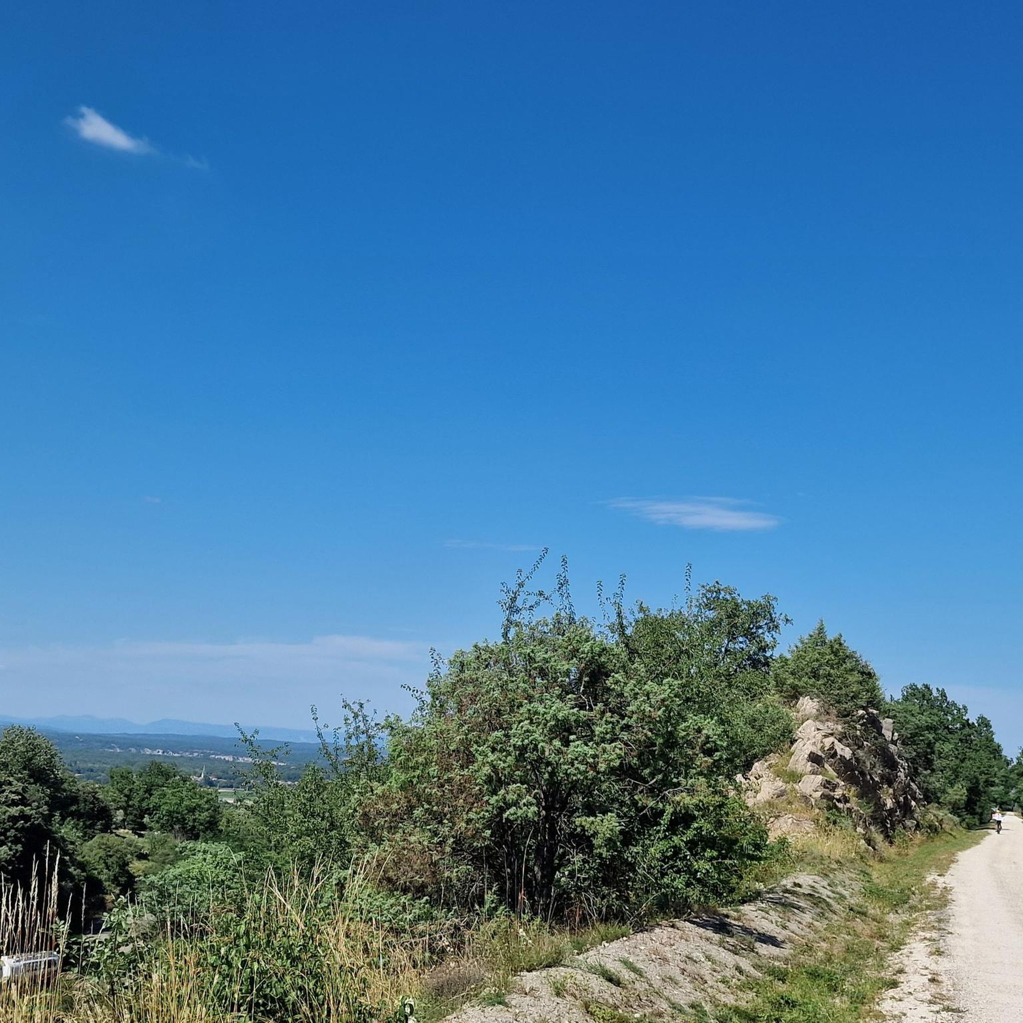
The Via Ardeche railway cycle path is a nice idea in itself, but unfortunately, the perfect surface (asphalt) is only present in the tunnel sections. The rest is rough concrete, gravel, and even worse. It's pleasantly cool in the tunnel.
1
0
The Via Ardeche railway cycle path is a nice idea in itself, but unfortunately, the perfect surface (asphalt) is only present in the tunnel sections. The rest is rough concrete, gravel, and even worse.
1
1
The Via Ardeche railway cycle path is a nice idea in itself, but unfortunately, the perfect surface (asphalt) is only present in the tunnel sections. The rest is rough concrete, gravel, and even worse.
0
1
The Via Ardeche railway cycle path is a nice idea in itself, but unfortunately, the perfect surface (asphalt) is only present in the tunnel sections. The rest is rough concrete, gravel, and even worse.
0
0
Frequently Asked Questions
What kind of terrain can I expect on hiking trails around Gagnières?
The Gagnières region offers a diverse landscape shaped by the Ganière River. You'll find sunny limestone areas, colorful schists, and karst relief. Trails often traverse ancient forests like the Bois de Païolive, known for its unique geological formations, and offer views of the dramatic Gorges du Chassezac. The area's mining history also means you might encounter historical structures like viaducts.
Are there hiking trails suitable for families with children in Gagnières?
Yes, Gagnières offers a good selection of trails suitable for families. Out of the 20 available routes, 7 are classified as easy, making them ideal for a leisurely family outing. These paths generally have less elevation gain and are shorter in duration, allowing for an enjoyable experience for all ages.
Can I bring my dog on the hiking trails in Gagnières?
While specific regulations for dogs on every trail can vary, the natural landscapes around Gagnières, including areas within or near the Cévennes National Park, are generally welcoming to dogs. It's always recommended to keep your dog on a leash, especially in protected areas like the Gorges du Chassezac, to protect local wildlife and ensure a pleasant experience for all hikers.
Are there any circular hiking routes in Gagnières?
Yes, many of the trails around Gagnières are designed as circular routes, allowing you to start and end at the same point. An example is the Doulovy Viaduct – Doulovy Viaduct loop from Clairval, an easy 6.4 km hike. Another option is the Waterreservoir – Doulovy Viaduct loop from Clairval, a moderate 8.4 km route.
What historical landmarks or natural attractions can I see while hiking in Gagnières?
The Gagnières area is rich in both natural and historical points of interest. You can explore the Gorges du Chassezac, a stunning natural site, or discover unique geological formations like the Labyrinth of Rocks of the Cévennes. The region's mining past is evident in structures like the Doulovy Viaduct, which is part of several hiking loops. You might also encounter the Gadilhe tunnel, a remnant of the old railway line now used as a cycle path.
How difficult are the hiking trails around Gagnières?
The hiking trails in Gagnières cater to various fitness levels. You'll find a good mix of options, with 7 easy routes perfect for beginners or casual strolls, and 13 moderate routes that offer a bit more challenge with varied terrain and some elevation changes. There are no difficult trails listed, making the area accessible to most hikers.
What do other hikers say about the trails in Gagnières?
The hiking routes in Gagnières are highly regarded by the komoot community, holding an average rating of 4.6 stars from over 1,300 reviews. Hikers often praise the varied terrain, the historical elements like the viaducts, and the beautiful natural features such as the Gorges du Chassezac and the unique rock formations in the Bois de Païolive.
Is there public transport available to access hiking trails in Gagnières?
Gagnières is a smaller town, and while local bus services might connect to nearby villages, direct public transport access to specific trailheads can be limited. It's advisable to check local bus schedules if you plan to rely on public transport. Many hikers prefer to use personal vehicles to reach the starting points of their chosen routes.
Where can I park my car when hiking in Gagnières?
Parking availability in Gagnières typically includes designated parking areas within the town center or near popular trailheads. For specific routes, it's often possible to find parking close to the starting point, especially for well-known loops. Always look for signs indicating public parking or consult local maps for the most convenient spots.
What is the best time of year to go hiking in Gagnières?
The Gagnières region, with its sunny limestone areas, is generally pleasant for hiking from spring through autumn. Spring offers lush greenery and comfortable temperatures, while autumn provides beautiful foliage. Summers can be warm, so early morning or late afternoon hikes are recommended during this season. Winter hiking is possible, but some trails might be less accessible depending on weather conditions.
Are there any trails that showcase the mining history of Gagnières?
Yes, the region's rich mining history is integrated into several hiking trails. The Doulovy Viaduct Loop is a prime example, as it crosses an historic viaduct that is a remnant of the area's industrial past. These trails offer a unique blend of natural beauty and historical insight.
How many hiking routes are available in the Gagnières area?
There are over 20 hiking routes available around Gagnières, offering a variety of distances and difficulty levels. This extensive network ensures that hikers can find a trail that suits their preferences, whether they are looking for an easy stroll or a more challenging moderate trek.
Most popular routes around Gagnières
Most popular attractions around Gagnières

Get inspired with the komoot mobile app


Explore more
Browse the best Hikes in other regions.
