The best road cycling routes around Saint-Jean-D'Alcapiès
4.3
(19)
1,445
riders
132
rides
Road cycling around Saint-Jean-D'Alcapiès offers a diverse landscape characterized by rolling hills, river valleys, and elevated plateaus. The region features a mix of open agricultural areas and more secluded routes through wooded sections. Significant elevation changes are present, providing challenging climbs and rewarding descents for road cyclists.
Best road cycling routes around Saint-Jean-D'Alcapiès
- The most popular road cycling route is Tour du Viala-du-Pas-de-Jaux – Nant loop from Tournemire - Roquefort, a difficult 57.7 miles (92.9 km) trail that takes…
Last updated: July 8, 2026
46
riders
92.9km
04:34
1,410m
1,410m
Hard road ride. Very good fitness required. Mostly well-paved surfaces and easy to ride.
4.0
(1)
41
riders
Moderate road ride. Good fitness required. Mostly well-paved surfaces and easy to ride.

Sign up for free
34
riders
Moderate road ride. Good fitness required. Mostly well-paved surfaces and easy to ride.
20
riders
45.3km
02:09
580m
580m
Moderate road ride. Good fitness required. Mostly well-paved surfaces and easy to ride.
27
riders
93.7km
04:29
1,300m
1,300m
Hard road ride. Very good fitness required. Mostly well-paved surfaces and easy to ride.
Get access to more routes and recommendations from other explorers.
Sign up for free
Already have an account?
Our route recommendations are based on thousands of hikes, rides, and runs completed by other people on komoot.
Start today with a free account
Your next adventure awaits.
Login or Signup


Tips from the Community

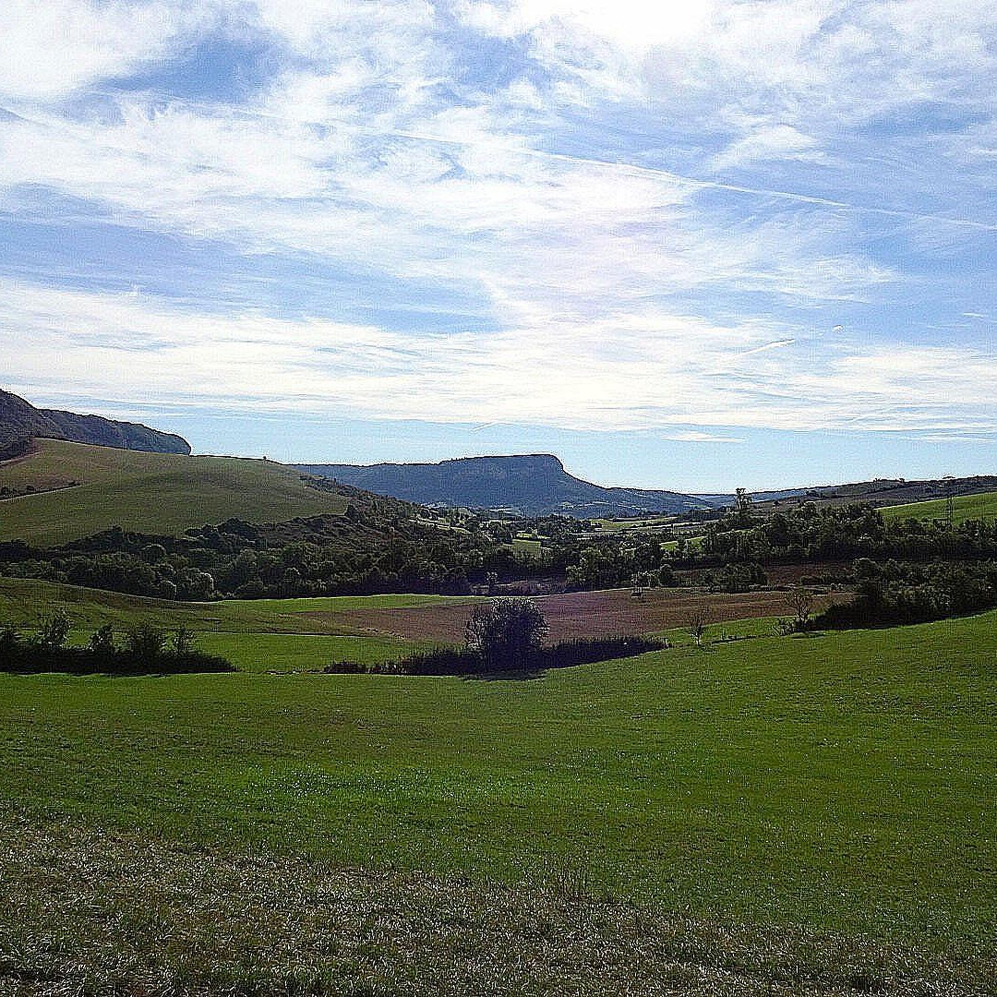
After Lauras, the D23 gradually gains height. Then, in the third bend, the view opens up to the Combalou which emerges, like a limestone tooth placed above the meadows of the causse. Massive, cut, almost sculptural, it dominates Roquefort-sur-Soulzon and marks the entrance to its mineral universe.
0
0

Nice unusual bridge, which resembles a railway bridge although I don't see any sign of trains nearby...
0
0
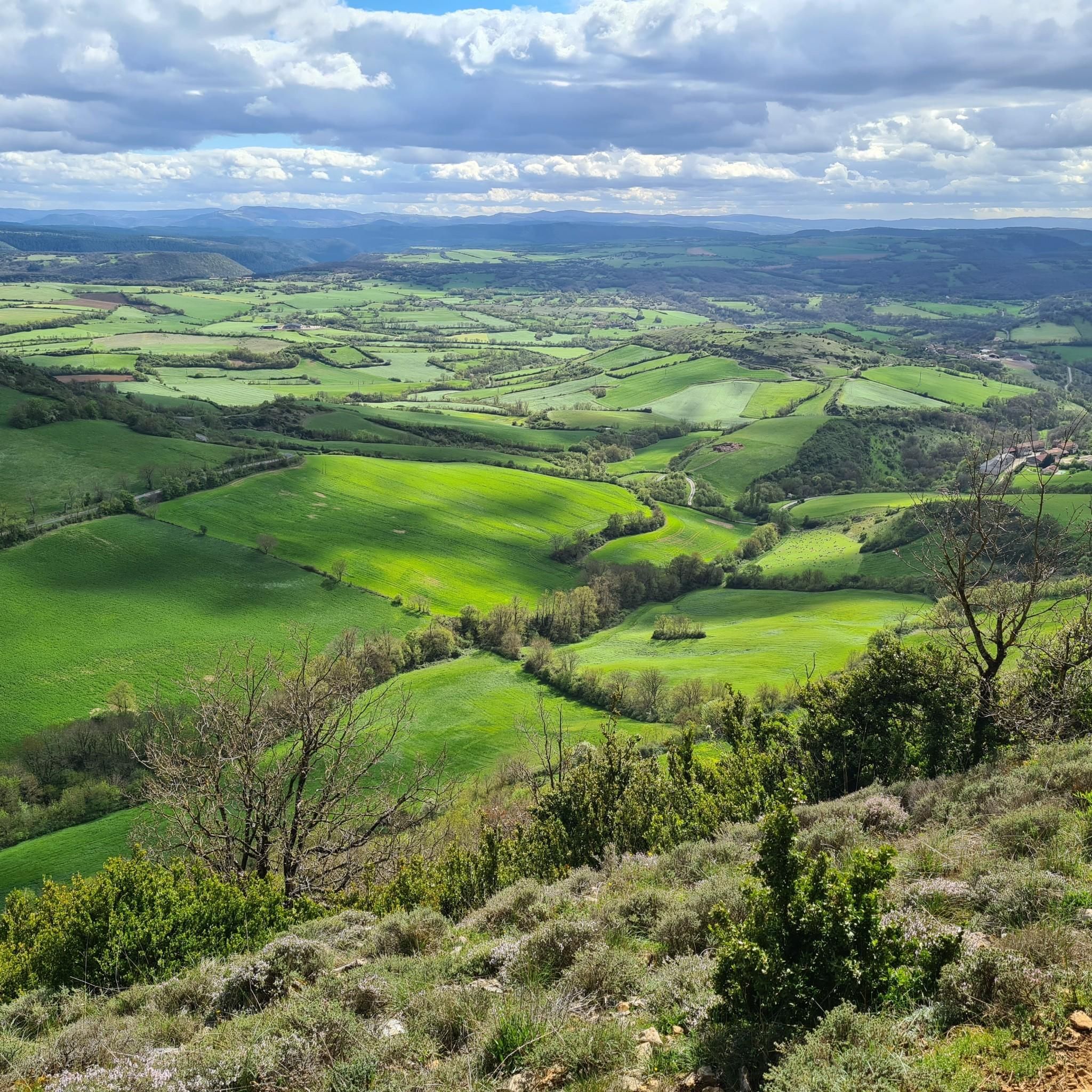
After the descent from the causse, this turn offers one of the most beautiful rewards of the route: a breathtaking view of Saint-Eulalie-de-Cernon. The Templar village is revealed nestled in the valley. An almost mandatory photo stop before reaching the village.
0
0
Behind its perfectly preserved ramparts lies an astonishing Templar heritage. Founded in the 12th century, the commandery of Saint-Eulalie-de-Cernon was a strategic center of the Order of the Temple on the Larzac. A remarkably preserved village!
0
0


the hill is steep on the road to Albi!
0
0

Frequently Asked Questions
How many road cycling routes are available around Saint-Jean-D'Alcapiès?
There are over 120 road cycling routes documented around Saint-Jean-D'Alcapiès on komoot, offering a wide range of options for different skill levels and preferences.
What kind of terrain can I expect when road cycling in Saint-Jean-D'Alcapiès?
The region offers a diverse landscape characterized by rolling hills, river valleys, and elevated plateaus. You'll encounter a mix of open agricultural areas and more secluded routes through wooded sections, with significant elevation changes providing both challenging climbs and rewarding descents.
Are there road cycling routes suitable for beginners in Saint-Jean-D'Alcapiès?
Yes, Saint-Jean-D'Alcapiès offers a few easier road cycling routes. While many routes feature substantial climbs, there are at least 5 routes categorized as 'easy' that provide a less strenuous experience for those new to road cycling or looking for a more relaxed ride.
Can I find challenging road cycling routes with significant climbs?
Absolutely. Saint-Jean-D'Alcapiès is known for its challenging terrain. There are over 60 difficult routes, many featuring substantial elevation gains. For instance, the Sainte-Eulalie-de-Cernon – Lac de Bouloc loop from Tournemire - Roquefort covers over 120 km with more than 2000 meters of ascent, providing a demanding ride for experienced cyclists.
Are there circular road cycling routes available?
Yes, many of the road cycling routes around Saint-Jean-D'Alcapiès are designed as loops, allowing you to start and finish in the same location. Examples include the popular Tour du Viala-du-Pas-de-Jaux – Nant loop from Tournemire - Roquefort and the Roquefort-sur-Soulzon – La Bastide Pradines loop from Massergues.
What do other cyclists say about road cycling in Saint-Jean-D'Alcapiès?
The road cycling routes in Saint-Jean-D'Alcapiès are highly rated by the komoot community, with an average score of 4.5 stars from 17 reviews. Over 1,200 road cyclists have explored the area using komoot, often praising the varied terrain and scenic beauty.
Are there road cycling routes around 50 km in length?
Yes, you can find several road cycling routes around the 50 km mark. A notable option is the Roquefort-sur-Soulzon – La Bastide Pradines loop from Massergues, which is approximately 49.6 km long and offers a moderate challenge through scenic landscapes.
What interesting landmarks or attractions can I see along the road cycling routes?
Many routes pass by or near interesting points. You might encounter historical sites like Saint-Affrique or the Saint-Affrique Church and Bridge over the Sorgues. Natural features such as Le Combalou or the The Rock Engraved with Two Crosses are also accessible.
Are there natural monuments or scenic viewpoints accessible by road bike?
Yes, the region boasts several natural monuments and viewpoints. Cyclists can explore areas near the Cirque de Tournemire or enjoy panoramic vistas like the View over the Rougier de Camarès. The Rocher de Caylus is another notable natural landmark.
Are there any long-distance road cycling routes for multi-hour tours?
For those seeking longer rides, routes like the Ayssènes Suspension Bridge – Saint-Rome-de-Tarn loop from Tournemire - Roquefort offer substantial distances, covering over 90 km and typically taking several hours to complete, with significant elevation changes.
Most popular routes around Saint-Jean-D'Alcapiès
Most popular attractions around Saint-Jean-D'Alcapiès

Get inspired with the komoot mobile app


Explore more
Browse the best Road cycling routes in other regions.
