The best running trails around Pommerol
4.8
(5)
346
runners
54
runs
Jogging around Pommerol offers a diverse landscape for runners, characterized by its hilly terrain and varied elevations. The region features routes that traverse through areas like the Col de Pommerol and Montagne de Raton, providing challenging climbs and descents. Runners can expect a mix of open country and paths leading to historic sites such as the Château de La Charce. The trails often involve significant elevation changes, making them suitable for those seeking a more demanding running experience.
Best jogging…
Last updated: October 11, 2026
23
runners
11.4km
01:33
480m
480m
Hard run. Very good fitness required. Mostly paved surfaces. Suitable for all skill levels.
22
runners
11.8km
01:34
460m
460m
Hard run. Very good fitness required. Mostly paved surfaces. Suitable for all skill levels.

12
runners
49.5km
07:06
2,200m
2,200m
Hard run. Very good fitness required. Mostly paved surfaces. Suitable for all skill levels.
15
runners
9.93km
01:38
620m
620m
Hard run. Very good fitness required. Mostly paved surfaces. Suitable for all skill levels.
12
runners
20.2km
03:24
1,280m
1,270m
Hard run. Very good fitness required. Mostly paved surfaces. Suitable for all skill levels.
Get access to more routes and recommendations from other explorers.
Already have an account?
Our route recommendations are based on thousands of hikes, rides, and runs completed by other people on komoot.
Start today with a free account
Your next adventure awaits.
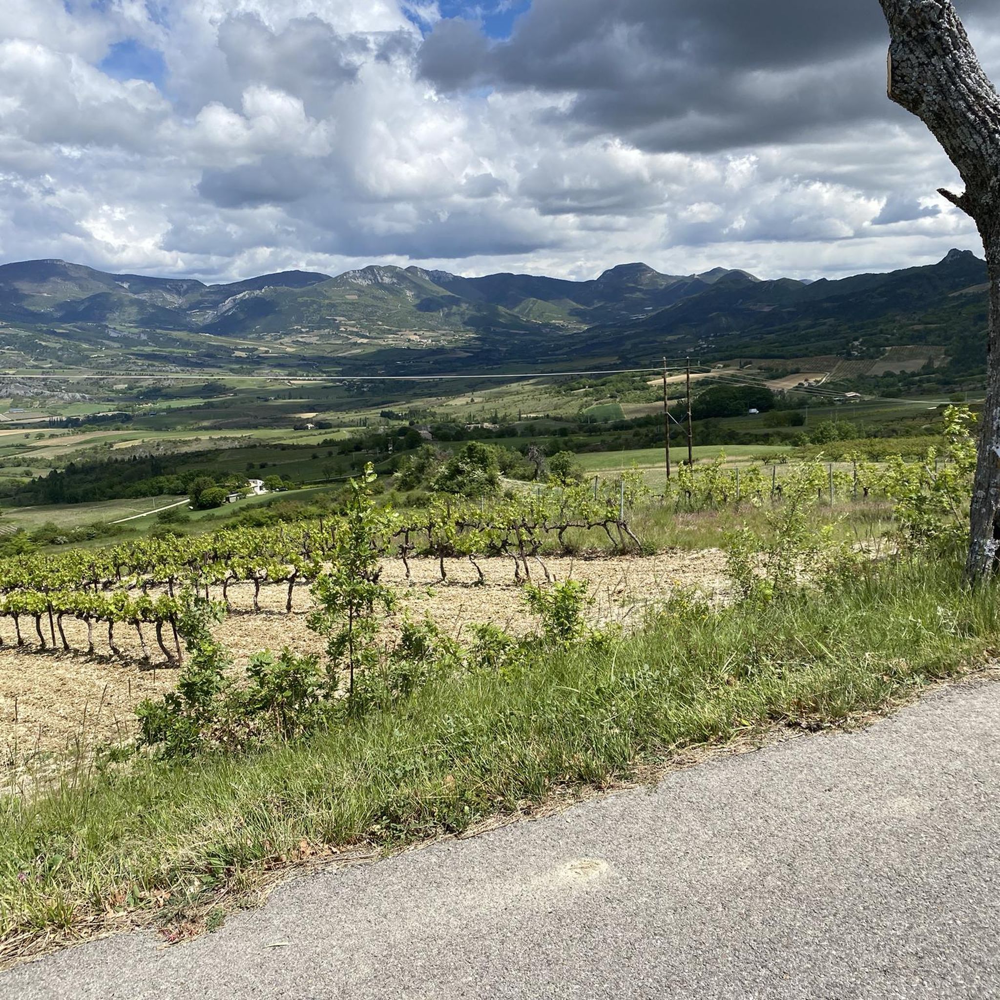
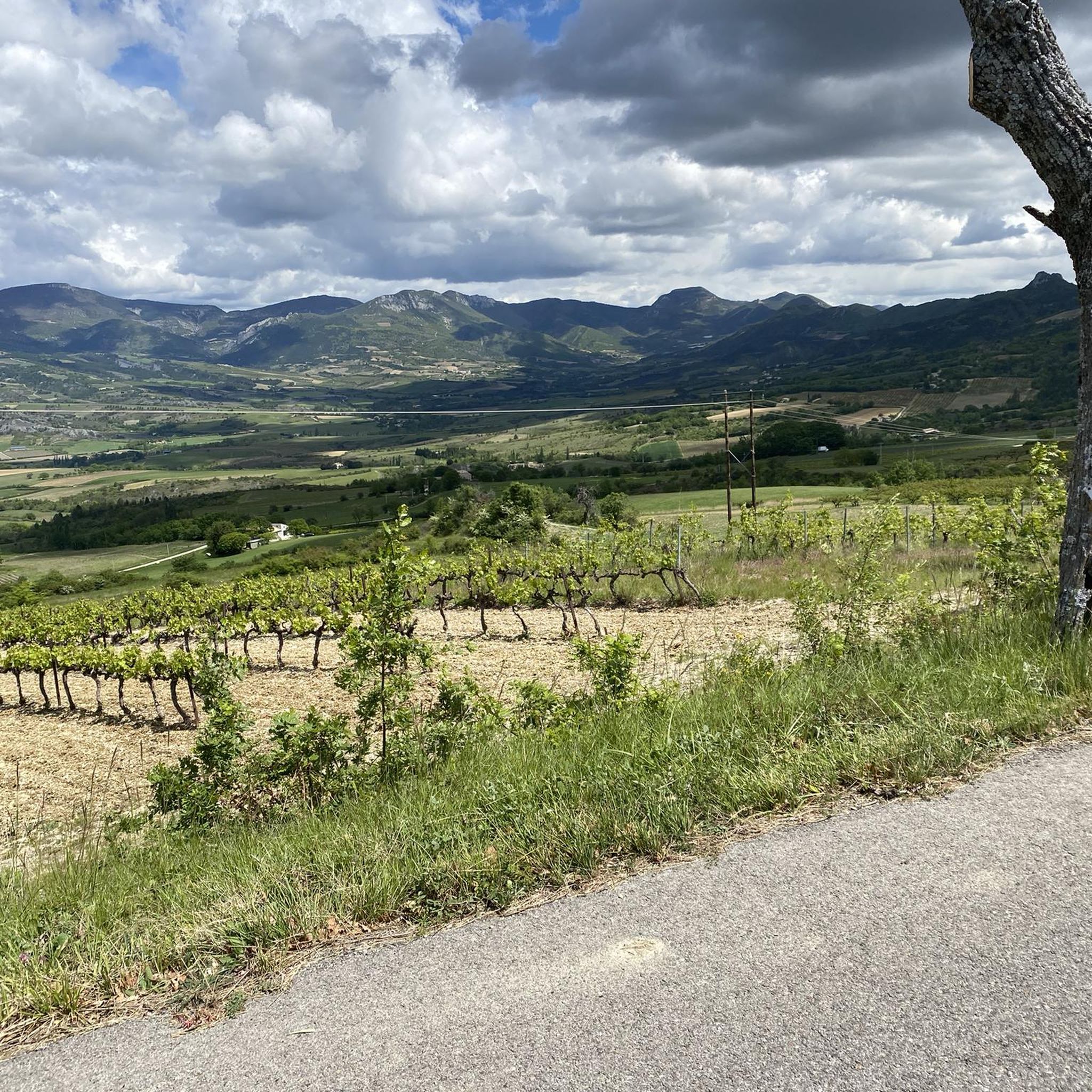
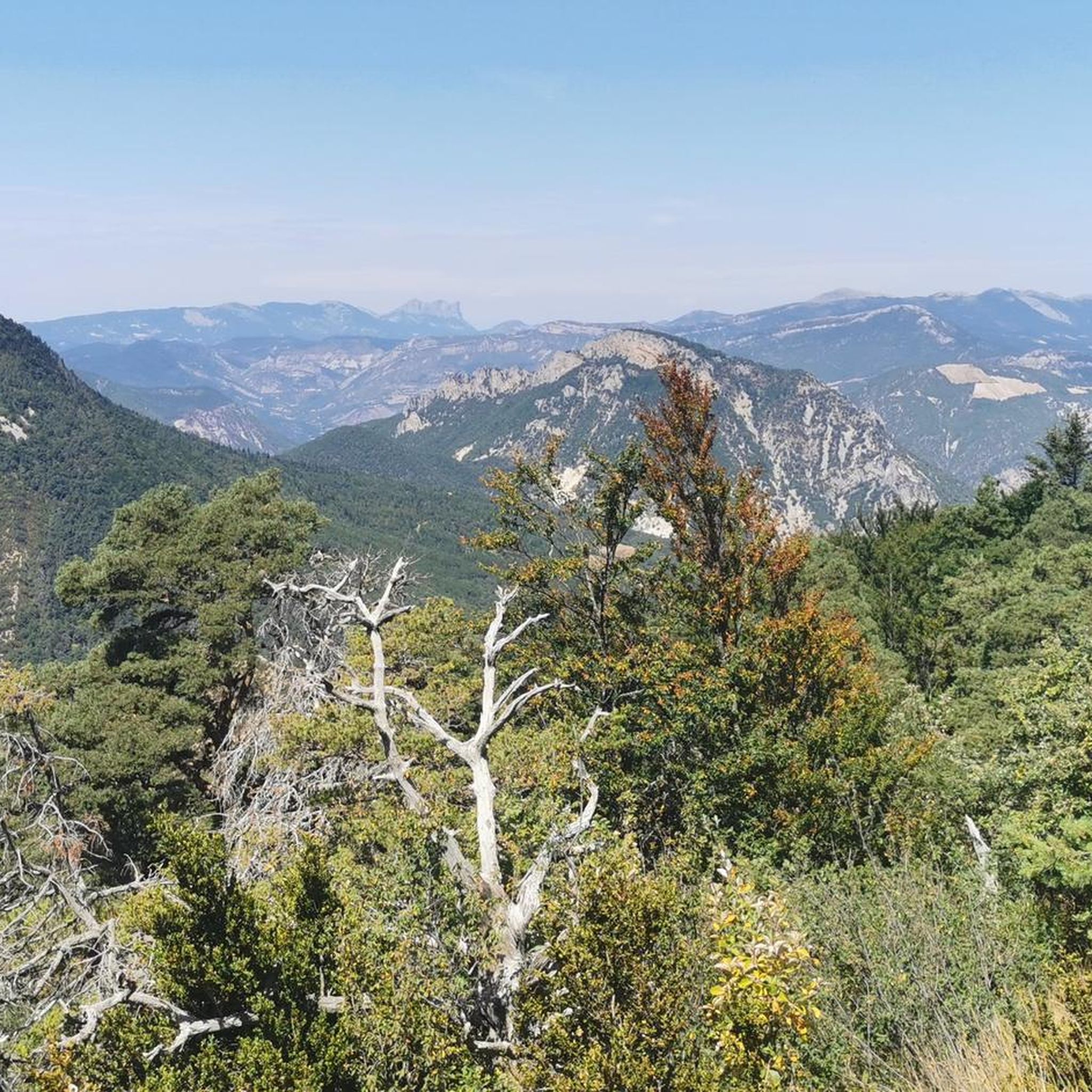
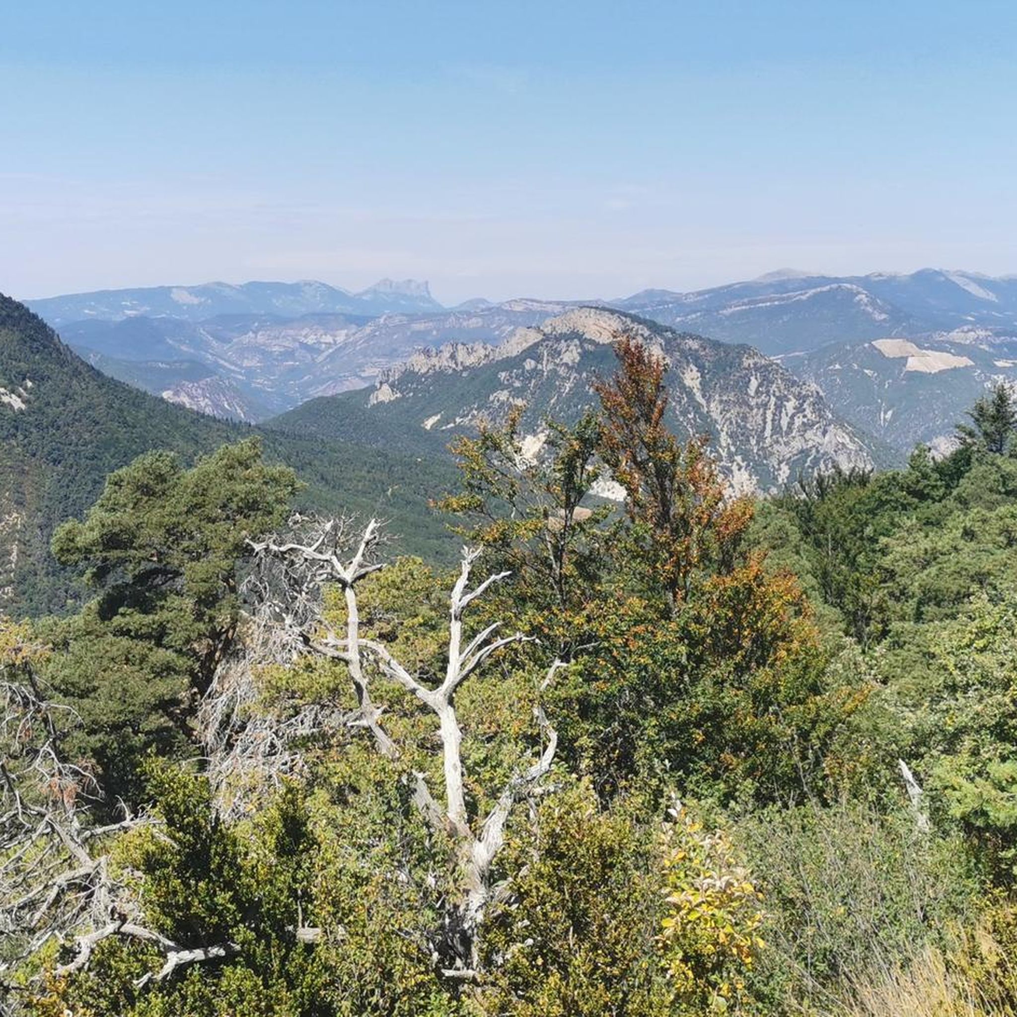
Tips from the Community

The ascent to Col de la Fromagère / Col de Pommerol from Rosans is located in the Hautes-Alpes region. This ascent is 6.6 km long, with a total elevation gain of 371 m. The average gradient of the ascent to Col de la Fromagère / Col de Pommerol from Rosans is 5.6%.
6
0

bring good shoes and a windbreaker at the top
0
0

Very beautiful hike with ridge trails. Be careful, the descent on the way back is very steep.
0
0

Magnificent panorama. Once at the top, it's not very difficult and very pleasant.
0
0
Magnificent region. I recommend the guest rooms at the Château de Rosans.
0
0

The Col de la Fromagère turns into the Col de Pommerol when you reach the summit. The climb is nevertheless magnificent on a small mountain road, with good percentages sometimes approaching 12%
1
0

The Rock of Cairo is a cliff overlooking Rémuzat. Facing due east, the morning sun quickly warms the air. It is this phenomenon which allowed the reintroduction of vultures into this area. From the rock you can observe vultures including the Egyptian vulture, although it is becoming rarer. A place not to be missed in the region!
2
0
Frequently Asked Questions
Are there any easy or beginner-friendly running routes in Pommerol?
While Pommerol is known for its challenging, hilly terrain, there are a few routes suitable for beginners. Out of 43 available running tours, 1 is classified as easy and 14 as moderate. For a less demanding experience, consider routes that avoid the significant elevation gains found around areas like the Col de Pommerol or Montagne de Raton.
What are the typical distances for running routes around Pommerol?
Running routes in Pommerol vary significantly in length. You'll find shorter loops, such as the Montagne de Raton loop from Col de la Fromagère at 3.4 miles (5.5 km), up to longer, more demanding trails like the Rosans – Montagne de Raton loop from Rosans, which spans 12.6 miles (20.2 km).
Is parking available near the running trails in Pommerol?
Specific parking information can vary by trailhead. Many routes, especially those starting from villages like Rosans or near notable passes, often have designated parking areas. We recommend checking the individual route details on komoot for precise parking locations before you head out.
How accessible are the running routes in Pommerol by public transport?
Access to running routes in the rural Pommerol region by public transport can be limited. While some villages may have bus services, many trailheads are best reached by car. For detailed public transport options to specific starting points, it's advisable to consult local transport schedules or the individual route descriptions on komoot.
Are there family-friendly running options in the Pommerol area?
Given the region's generally hilly and challenging terrain, many routes in Pommerol are better suited for experienced runners. However, some of the moderate routes, particularly those with less extreme elevation changes, might be enjoyable for active families. Always check the route's difficulty and elevation profile to ensure it matches your family's fitness level.
Can I bring my dog on the running trails around Pommerol?
Many trails in the Pommerol region are suitable for running with dogs, provided they are kept under control, especially in areas with livestock or wildlife. Always be mindful of local regulations, particularly concerning nature reserves or private land. It's also wise to carry water for your dog, especially on longer or more exposed routes.
What is the best time of year for running in Pommerol?
The best time for running in Pommerol is typically during spring and autumn when temperatures are milder and the natural scenery is vibrant. Summer can be hot, especially at midday, so early morning or late afternoon runs are recommended. Winter running is possible but requires appropriate gear due to potentially cold conditions and occasional snow at higher elevations.
Are there any scenic running trails with good viewpoints in Pommerol?
Absolutely! The region is rich in scenic beauty. Routes that ascend the Montagne de Raton, such as the Montagne de Raton loop from Cornillac, offer extensive views. You can also find stunning vistas from highlights like Rocher du Caire, which provides panoramic views of the surrounding landscape.
What can I see along the running routes in Pommerol?
Running routes in Pommerol often pass by a mix of natural and historical attractions. You might encounter mountain passes like Col de Soubeyrand (994 m) or Col de Pensier. Historic sites, such as La Charce Castle, are also accessible on routes like the Château de La Charce – La Charce Castle loop from La Charce.
What do other runners enjoy the most about jogging in Pommerol?
The komoot community highly rates the running experience in Pommerol, with an average score of 5.0 stars. Runners frequently praise the challenging mountain trails, significant elevation changes, and the opportunity to pass by historic landmarks. The diverse terrain and rewarding views are often highlighted as key attractions.
Are there any circular running routes available in Pommerol?
Yes, many of the running routes in Pommerol are designed as circular loops, allowing you to start and finish at the same point. Examples include the popular Rosans – COL DE POMMEROL loop from Rosans and the more challenging Rosans – Montagne de Raton loop from Rosans, both offering varied terrain and scenic views.
Most popular attractions around Pommerol

Get inspired with the komoot mobile app


Explore more
Browse the best Running Trails & Routes in other regions.
