The best running trails around Mounes-Prohencoux
5.0
(2)
158
runners
20
runs
Jogging routes around Mounes-Prohencoux traverse varied terrain, situated on the rolling foothills of the Monts de Lacaune. The region features the distinctive red landscapes of the Rougier de Camarès and deep valleys carved by the Rance River and its tributaries. As part of the Parc Naturel Régional des Grands Causses, the area offers a preserved natural environment for outdoor activities. This diverse topography provides a range of running experiences, from riverside paths to elevated routes.
Best jogging routes around Mounes-Prohencoux
…Last updated: June 26, 2026
9
runners
9.45km
01:11
220m
220m
Jog the moderate 5.9-mile Les Canyons du Rougier loop from Gissac, featuring unique red earth landscapes and 724 feet of elevation gain.
9
runners
8.26km
01:02
210m
210m
Moderate run. Good fitness required. Mostly paved surfaces. Suitable for all skill levels.

Sign up for free
6
runners
11.7km
01:23
160m
160m
Moderate run. Good fitness required. Mostly paved surfaces. Suitable for all skill levels.
9
runners
27.9km
03:53
1,040m
1,040m
Hard run. Very good fitness required. Mostly paved surfaces. Suitable for all skill levels.
5.0
(1)
4
runners
5.40km
00:40
150m
150m
Moderate run. Good fitness required. Mostly paved surfaces. Suitable for all skill levels.
Get access to more routes and recommendations from other explorers.
Sign up for free
Already have an account?
Our route recommendations are based on thousands of hikes, rides, and runs completed by other people on komoot.
Start today with a free account
Your next adventure awaits.
Login or Signup
Tips from the Community

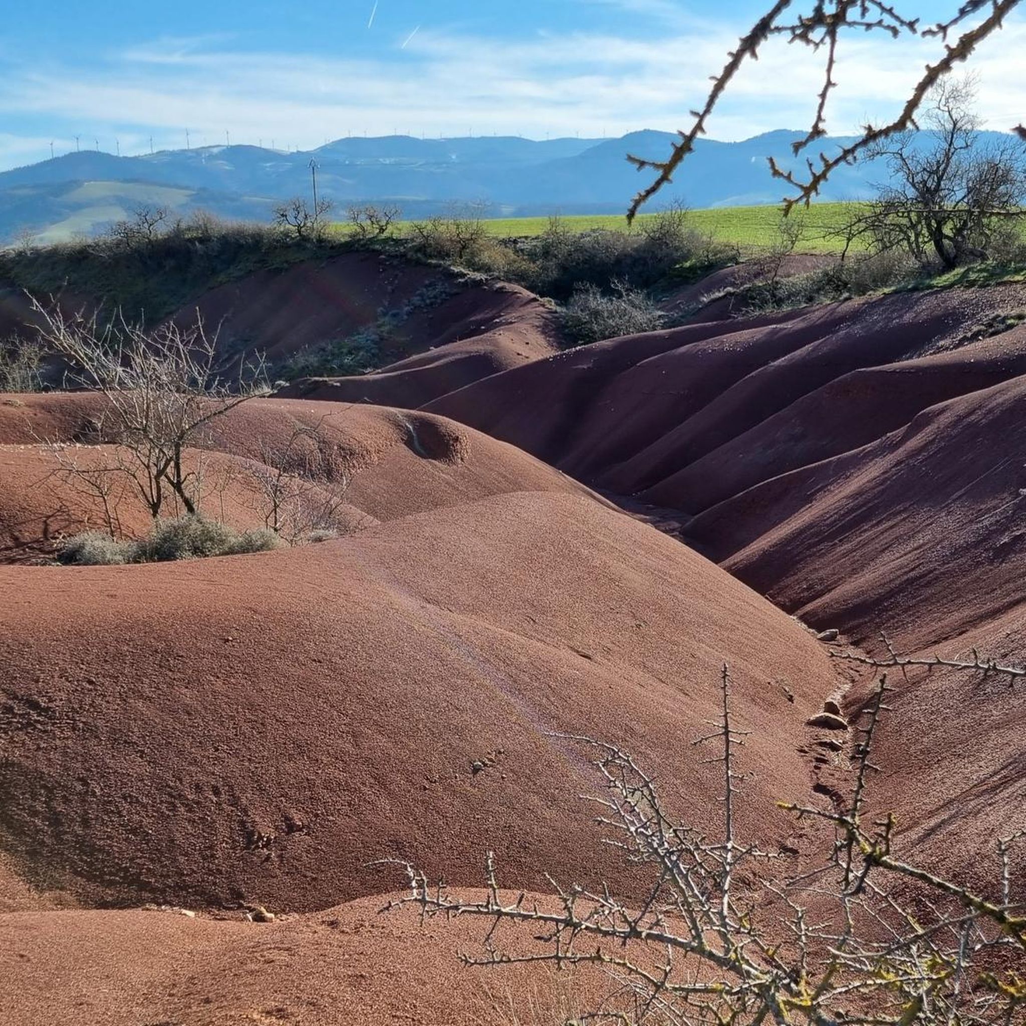
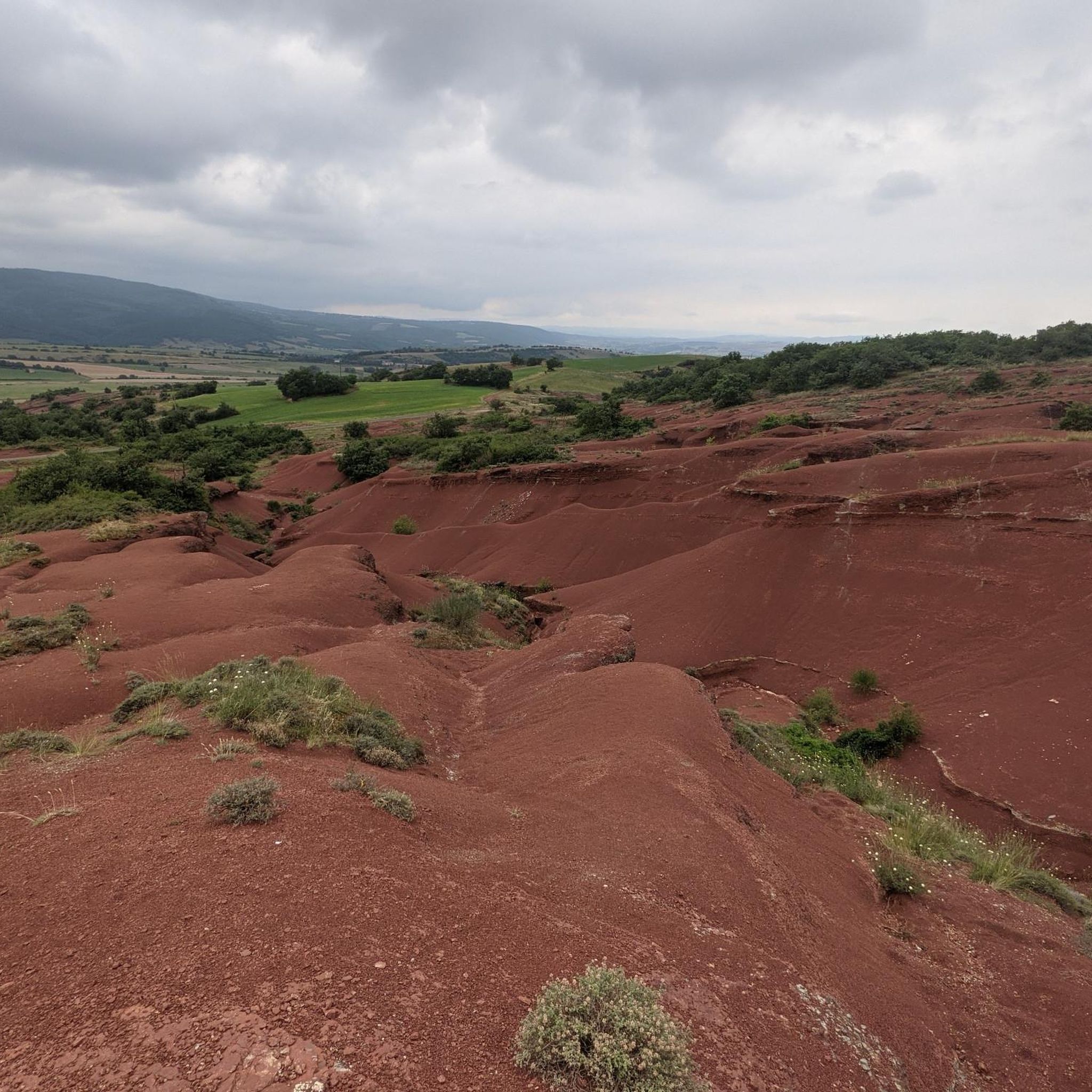
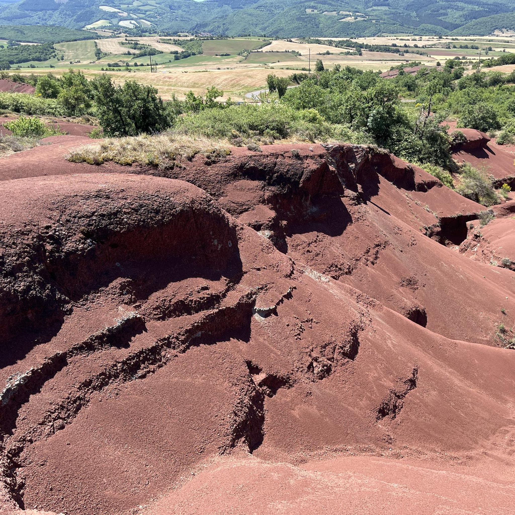
Camarès' blush is simply magnificent! It offers a wide variety of terrain: tracks on the plateau, stony paths on the reliefs present, etc.
0
0

Magnificent moment, we did it on September 12, 2023 at 24° ideal weather it was really good :O
0
0

The Rougier de Camarès offers a magnificent landscape of red clay rich in iron.
0
0
Magnificent landscape of iron-rich red clay.
0
0


Track along the Verzolet stream, between Hermilix and Versols.
1
0
Large red metal cross, from which there is a beautiful view of the valley. The climb from Lapeyre is very beautiful, with some steep passages approaching 20%.
2
0
Path from Gissac to Andabre in el Rougier de Camarès. Red lunar landscapes resembling Colorado with canyons, gorges... Superb terrain to explore on a mountain bike, with its crumbly soil of red claystone. easily accessible from Montlaur or Camarès.
2
0
Frequently Asked Questions
How many running routes are available around Mounes-Prohencoux, and what are their difficulty levels?
The area offers over 19 running routes. The majority, 16, are considered moderate, with 2 difficult and 1 easy option, catering to various fitness levels and experiences.
Are there any family-friendly running paths in Mounes-Prohencoux?
While specific 'family-friendly' routes aren't explicitly tagged, the region offers an easy route and several moderate ones that might be suitable for families. The Statue Menhir du Mas d'Azaïs loop from La Boriette, at 6.8 km, is a shorter, moderate option that could be enjoyable for active families.
Are dogs allowed on the running trails in Mounes-Prohencoux?
The trails around Mounes-Prohencoux are generally welcoming to dogs, especially given the region's natural environment within the Parc Naturel Régional des Grands Causses. However, it's always recommended to keep dogs on a leash, especially near livestock or in protected areas, and to follow local regulations.
Are there circular running routes available in the Mounes-Prohencoux area?
Yes, many of the running paths around Mounes-Prohencoux are designed as circular loops, allowing you to start and finish at the same point. Examples include the popular Running loop from Montlaur and the Running loop from Briols, both offering convenient circular experiences.
What kind of landscapes can I expect to see while running in Mounes-Prohencoux?
Runners in Mounes-Prohencoux will experience a diverse range of landscapes. The routes traverse the rolling foothills of the Monts de Lacaune, offering varied topography. You can also encounter the striking red lunar landscapes of the Rougier de Camarès and scenic river valleys carved by the Rance River and its tributaries. The area is part of the protected Grands Causses Regional Natural Park, ensuring a pristine natural setting.
Are there any notable landmarks or attractions along the running routes?
Yes, the region offers several points of interest. While running, you might encounter the unique geological formations of Le Rougier de Camarès. Some routes, like the Statue Menhir du Mas d'Azaïs loop from La Boriette, pass by historical or cultural markers. The wider area also features charming villages like Brousse-le-Chateau and historic sites such as Montaigut Castle.
What is the best time of year to go jogging in Mounes-Prohencoux?
Mounes-Prohencoux offers pleasant running conditions for much of the year. Spring and autumn generally provide mild temperatures and beautiful scenery, ideal for outdoor activities. Summer can be warm, so early morning or late afternoon runs are recommended. Winter running is possible, but some higher elevation trails might be affected by colder weather or occasional snow.
Is parking readily available near the trailheads in Mounes-Prohencoux?
While specific parking details for every trailhead are not always listed, many routes in rural areas like Mounes-Prohencoux typically have informal parking spots or small car parks in nearby villages. For routes starting from villages like Montlaur or Briols, you can usually find parking within the village itself.
What do other runners enjoy most about jogging in Mounes-Prohencoux?
The running routes in Mounes-Prohencoux are highly rated by the komoot community, with an average score of 5.0 stars. Runners often praise the varied terrain, the picturesque views of the Monts de Lacaune and the Rougier de Camarès, and the peaceful, preserved natural environment within the Grands Causses Regional Natural Park.
Are there any easy running routes for beginners in Mounes-Prohencoux?
Yes, Mounes-Prohencoux does offer at least one easy running route. While most are moderate, the presence of an easy option ensures that beginners or those looking for a less strenuous run can still enjoy the beautiful surroundings. These routes often feature gentler inclines and more stable surfaces.
Can I find running routes that follow rivers or offer water views?
Absolutely. The Rance River and its tributaries, such as the Liamou, Petit Rance, and Laime, have carved deep valleys throughout the region. Many running paths utilize these natural corridors, offering scenic routes along riverbanks with varied elevations and beautiful water views. For instance, some trails follow the banks of the Rance River itself.
Are there any running routes that offer significant elevation gain for a challenging workout?
Yes, for those seeking a more challenging run, the region's location on the foothills of the Monts de Lacaune provides routes with significant elevation gain. The highest point in the south of Aveyron, the Summit of Merdelou (1100 meters), offers magnificent views and is an excellent destination for a demanding run, though specific running loops to the summit are often categorized as difficult hikes.
Most popular attractions around Mounes-Prohencoux

Get inspired with the komoot mobile app


Explore more
Browse the best Running Trails & Routes in other regions.
