The best walks and hikes around Aigrefeuille-Sur-Maine
4.6
(876)
4,409
hikers
21
hikes
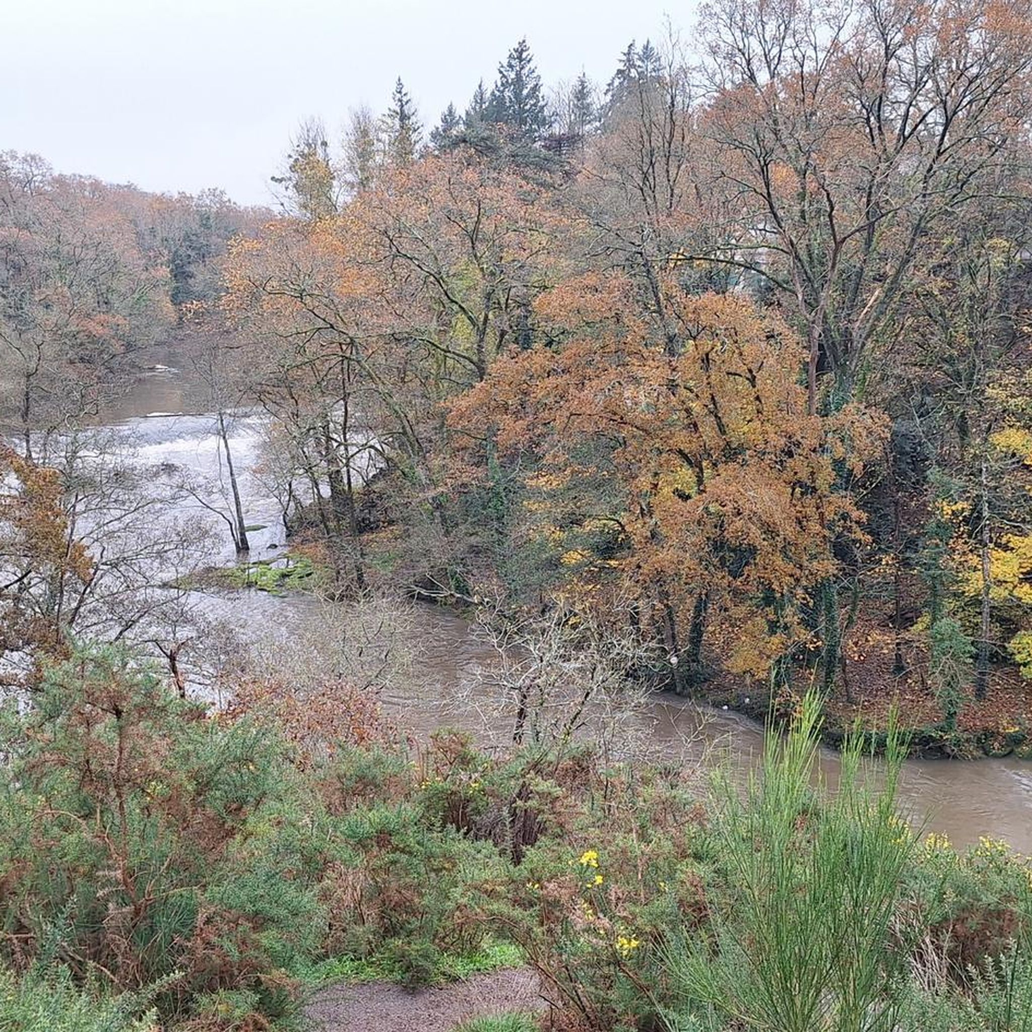
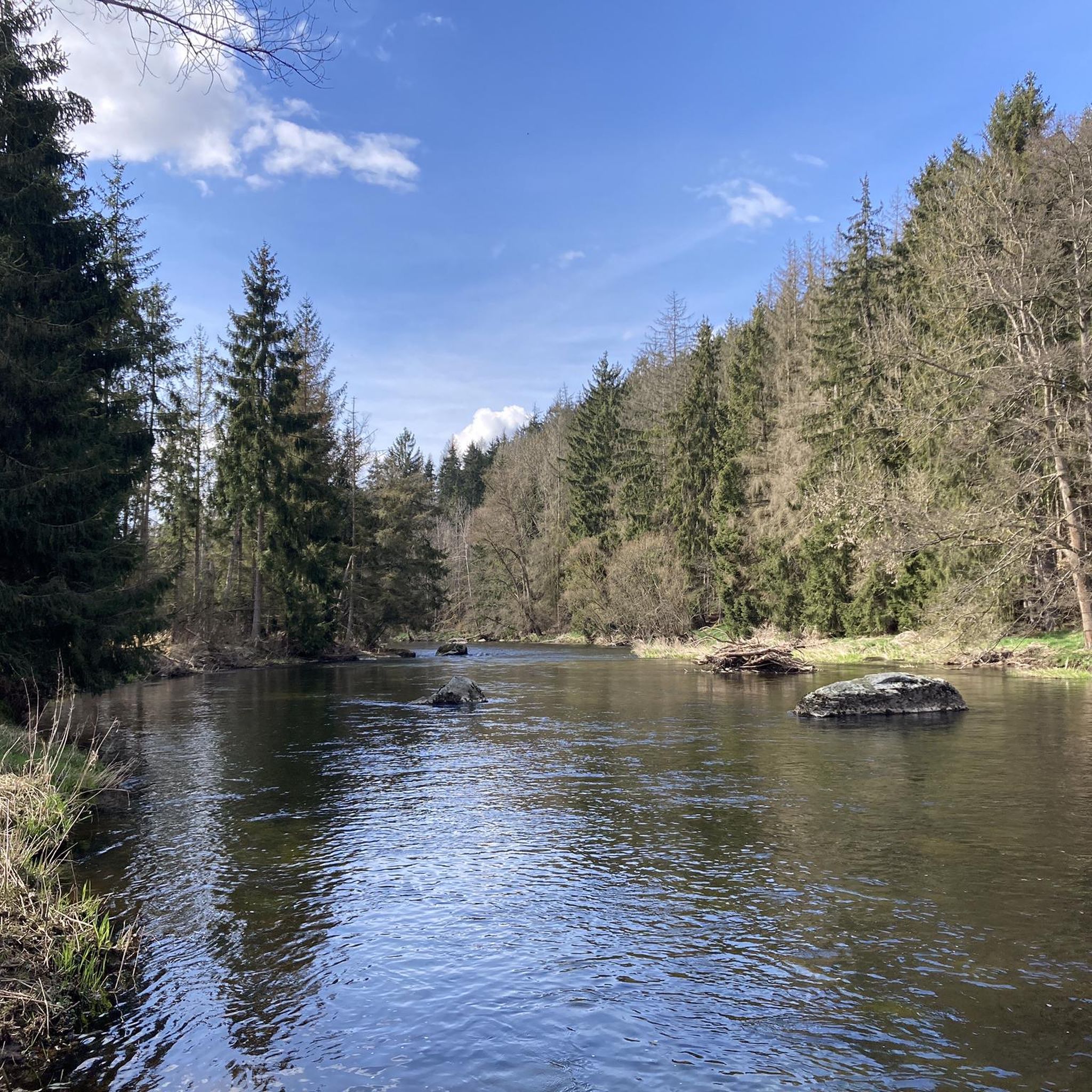
Hiking around Aigrefeuille-Sur-Maine offers diverse trails through the verdant Maine Valley. The region is characterized by tranquil river landscapes, shaded paths along the Maine River, and gentle hillsides. Historical markers, such as 17th-century water mills, are integrated into many routes, providing insight into the area's past.
Best hiking trails around Aigrefeuille-Sur-Maine
- The most popular hiking route is Moulin des Épinettes – Reuzard mill and footbridge loop from Aigrefeuille-sur-Maine, a 8.6 miles (13.9 km) trail that takes 3 hours 45…
Last updated: July 9, 2026
4.8
(74)
220
hikers
Moderate hike. Good fitness required. Easily-accessible paths. Suitable for all skill levels.
4.5
(21)
123
hikers
Hard hike. Very good fitness required. Easily-accessible paths. Suitable for all skill levels.

Sign up for free
4.9
(15)
55
hikers
7.89km
02:10
130m
130m
Moderate hike. Good fitness required. Easily-accessible paths. Suitable for all skill levels.
5.0
(4)
19
hikers
Moderate hike. Good fitness required. Easily-accessible paths. Suitable for all skill levels.
4.6
(5)
19
hikers
Easy hike. Great for any fitness level. Easily-accessible paths. Suitable for all skill levels.
Get access to more routes and recommendations from other explorers.
Sign up for free
Already have an account?
Our route recommendations are based on thousands of hikes, rides, and runs completed by other people on komoot.
Start today with a free account
Your next adventure awaits.
Login or Signup
Tips from the Community


A very shady, well-maintained route with some good climbs and descents. Easy level
0
0

An absolutely beautiful site, but difficult to access by bike. You can cross, but the footbridge is too narrow (for my bike anyway) and you have to push the bike vertically. Obviously impossible with panniers.
1
0

Lourdes grotto replicas are reproductions of the Massabielle grotto, the site of the Marian apparitions in Lourdes in 1858, which have been made around the world. Numerous copies of the site have been made in France, Europe, and then around the world since its inception, with the growing fame of the apparitions and miraculous healings said to be due to the water of Lourdes.
0
0
The existence of the Bonnet Mill, in Saint-Lumine, on the right bank, is documented from 1742. It is sometimes called the Tannery Mill due to its immediate proximity to a former tanning business. The Bonnet family, millers and owners, succeeded each other for several generations. The last known sale, without the mill leaving the family, dates back to 1906. In the deed of sale, the watermill is associated with two windmills, "one of which has not been in operation for years," and is supplemented by "the roadway, land, and exits attached to it." The ruined mill was demolished in the 1980s; only the roadway, owned by the EPTB, remains. https://amicale-mcanonnet.org/post/1497-la-maine-autrefois
0
0
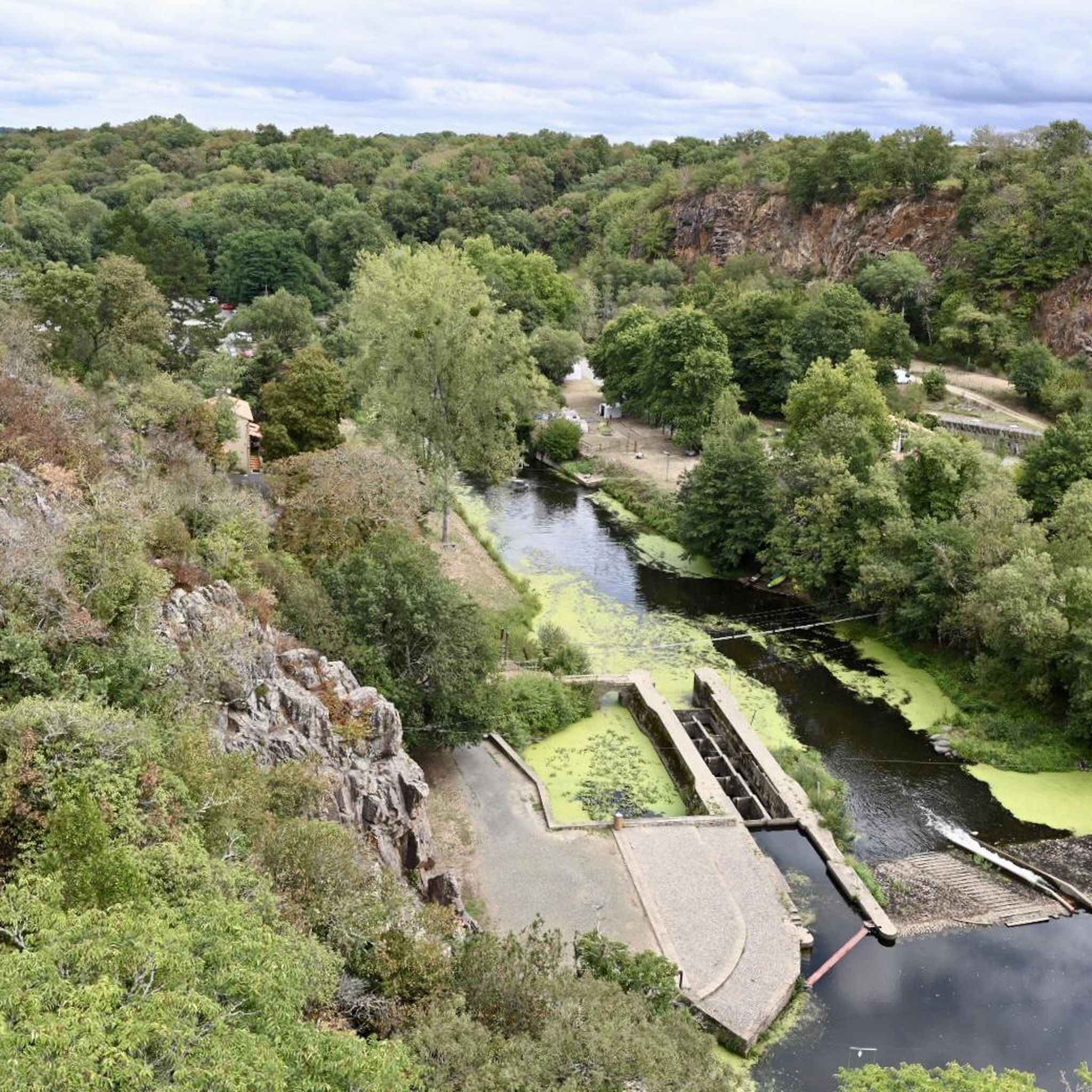
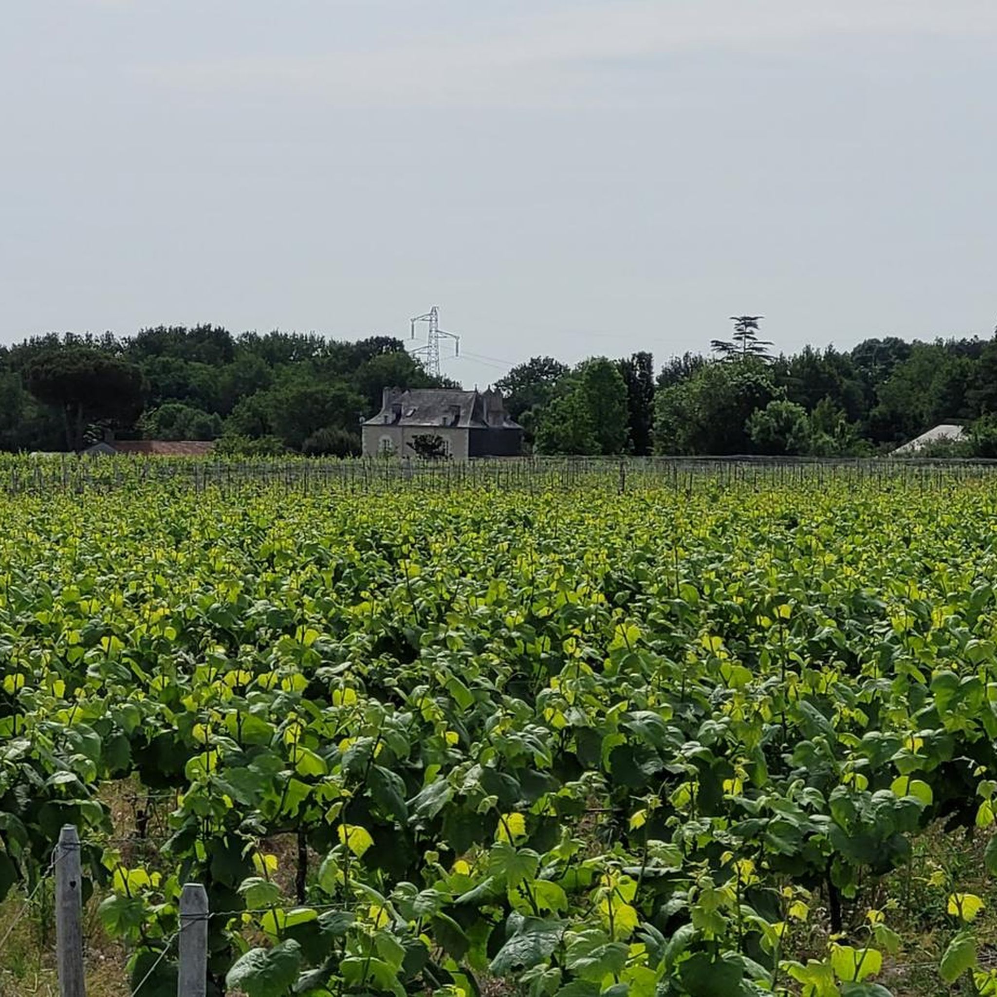
From the village of La Trélitière, a path allows a return trip to a rocky promontory offering a beautiful view of the valley and Aigrefeuille-sur-Maine
1
0
In the past, the Maine was crossed using beams fixed to the rock. The 17th century Reuzard mill with its metal footbridge attests to the intense milling activity that reigned on the river at the time. The current footbridge, which dates from 1911, was renovated in 1977 and allows hikers to access from one bank to the other.
1
0
The great interest of the route along the Maine lies in the many water mills typical of the valley. Each one is accompanied by a causeway - dam - which once formed the water reservoir necessary to operate the wheel. The Reuzard mill (17th century) with its metal footbridge and that of the Vieille-Écluse (15th-16th century) attest to the intense milling activity that reigned on the river at the time. As for the Épinettes mill (mid-19th century), it produced the town's public electricity from 1912. Although they were initially used to grind cereals, these mills were also used to work hides and paper. The name of the village of La Trélitière also evokes the weaving of lattice.
1
0
Frequently Asked Questions
How many hiking trails are available around Aigrefeuille-Sur-Maine?
There are 18 hiking routes available around Aigrefeuille-Sur-Maine. These trails cater to various preferences, ranging from easy strolls to more challenging excursions through the Maine Valley.
What types of landscapes can I expect to see on the trails?
The trails in Aigrefeuille-Sur-Maine primarily feature the tranquil and verdant Maine Valley. You'll find shaded paths along the Maine River, gentle hillsides, and dense riverside vegetation. Many routes offer views of historical water mills and the metallic footbridge at Moulin du Reuzard.
Are there any easy hiking routes suitable for beginners or families?
Yes, Aigrefeuille-Sur-Maine offers 7 easy hiking routes. A great option for a relaxed walk is the Reuzard mill and footbridge – La Trélitière viewpoint loop from Aigrefeuille-sur-Maine, which is 4.0 miles (6.5 km) long and takes about 1 hour 44 minutes, leading through pleasant riverside landscapes and past historical sites.
Can I find circular hiking routes in the area?
Many of the trails around Aigrefeuille-Sur-Maine are designed as circular routes, allowing you to start and end at the same point. For example, the Reuzard mill and footbridge loop from Aigrefeuille-sur-Maine is a moderate 7.9 km loop that explores the riverbanks and historical mill.
Are dogs allowed on the hiking trails?
Generally, dogs are welcome on most hiking trails in Aigrefeuille-Sur-Maine, especially if kept on a leash. The shaded paths along the Maine River provide a pleasant environment for walks with your canine companion. Always check local signage for any specific restrictions.
What historical sites or landmarks can I discover while hiking?
The region is rich in history. You can explore several historical water mills, such as the 17th-century Moulin du Reuzard with its metallic footbridge. The former weaving village of La Trélitière is also featured on some routes. The nearby Château de Clisson is another significant historical attraction worth visiting, often accessible via connecting routes.
Are there any viewpoints with panoramic scenery?
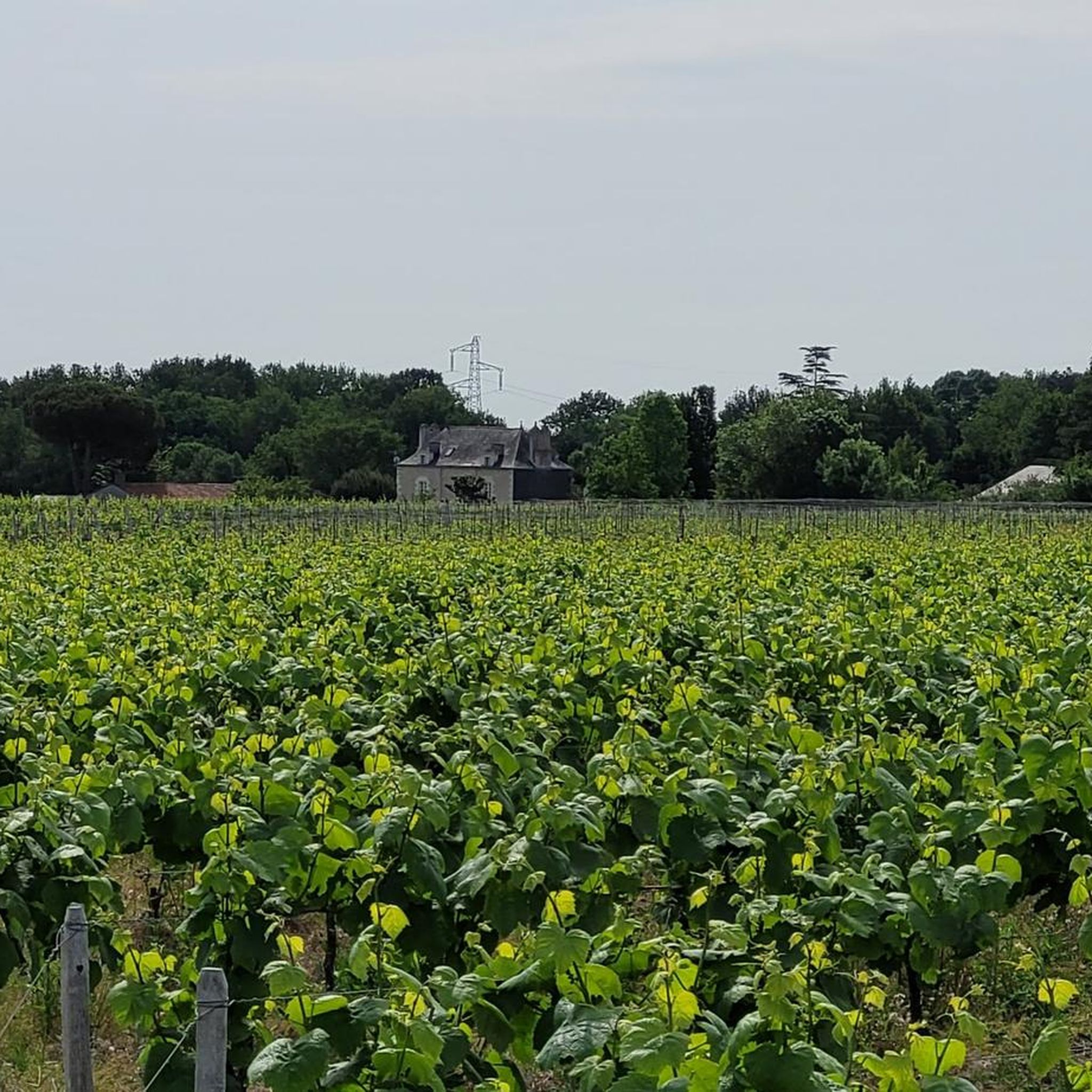
Yes, there are impressive viewpoints. The Viewing Gate – Picture frame by Emmanuel Ritz loop from Aigrefeuille-sur-Maine is a challenging 11.6 miles (18.8 km) trail that includes a remarkable viewpoint 30 meters above the Pont Caffino leisure base, offering stunning panoramas of the vineyards and the Maine Valley. You can also visit the Picture frame by Emmanuel Ritz highlight directly.
What is the best time of year to go hiking in Aigrefeuille-Sur-Maine?
The verdant and shaded Maine Valley makes Aigrefeuille-Sur-Maine an excellent destination for hiking throughout much of the year. Spring and autumn offer pleasant temperatures and beautiful foliage, while the shaded paths provide a refreshing escape during warmer summer months. Winter hikes can also be enjoyable, offering a different perspective of the tranquil river landscapes.
What do other hikers say about the trails in Aigrefeuille-Sur-Maine?
The hiking routes in Aigrefeuille-Sur-Maine are highly rated by the komoot community, with an average score of 4.6 stars from over 780 reviews. Hikers often praise the tranquil river landscapes, the well-maintained shaded paths, and the integration of historical elements like the old water mills.
Are there opportunities for wildlife spotting?
The dense riverside vegetation and preserved environment of the Maine Valley provide a habitat for rich wildlife. Keep an eye out for various bird species and, if you're lucky, you might even spot otters along the riverbanks, indicating a healthy ecosystem.
Is there parking available at the trailheads?
While specific parking details for each trailhead are not always listed, Aigrefeuille-Sur-Maine, being a rural area, generally offers public parking options within the town or near popular starting points for trails. It's advisable to check local maps or komoot tour details for recommended parking spots.
Are there any longer, more challenging routes for experienced hikers?
Yes, for experienced hikers seeking a challenge, the Viewing Gate – Picture frame by Emmanuel Ritz loop from Aigrefeuille-sur-Maine is a difficult 11.6 miles (18.8 km) path with significant elevation changes, offering rewarding views and a longer exploration of the region's varied terrain.
Most popular routes around Aigrefeuille-Sur-Maine
Most popular attractions around Aigrefeuille-Sur-Maine

Get inspired with the komoot mobile app


Explore more
Browse the best Hikes in other regions.
