The 10 Most Amazing Peaks around Hartmannswiller
Best mountain peaks around Hartmannswiller are situated in the Vosges mountains, offering diverse landscapes and significant historical sites. This region features the Hartmannswillerkopf, a pyramidal rocky spur that played a pivotal role during World War I. The area provides panoramic views across the Rhine valley, the Black Forest, and sometimes the Alps. It serves as an important Franco-German place of remembrance, combining natural beauty with profound historical context.
Best mountain peaks around Hartmannswiller
- The most popular mountain peaks is Grand Ballon, a summit that is the highest mountain in the Vosges Mountains at 1,424 meters. It offers a magnificent panoramic view and features a monument to the Blue Devils.
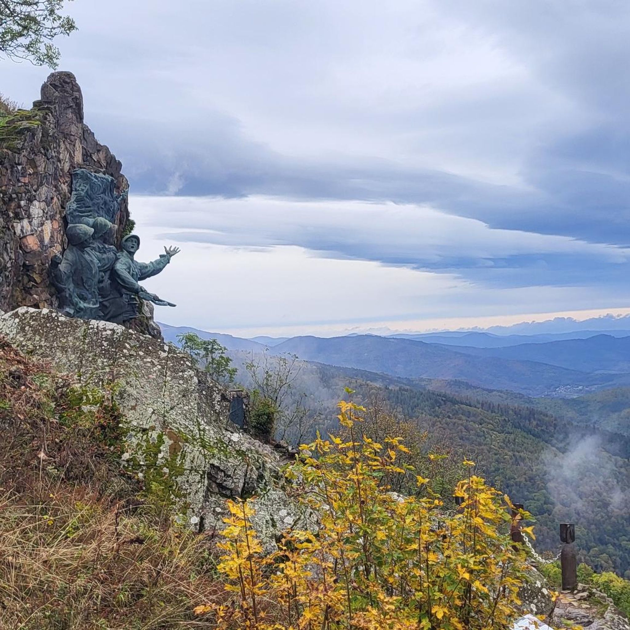
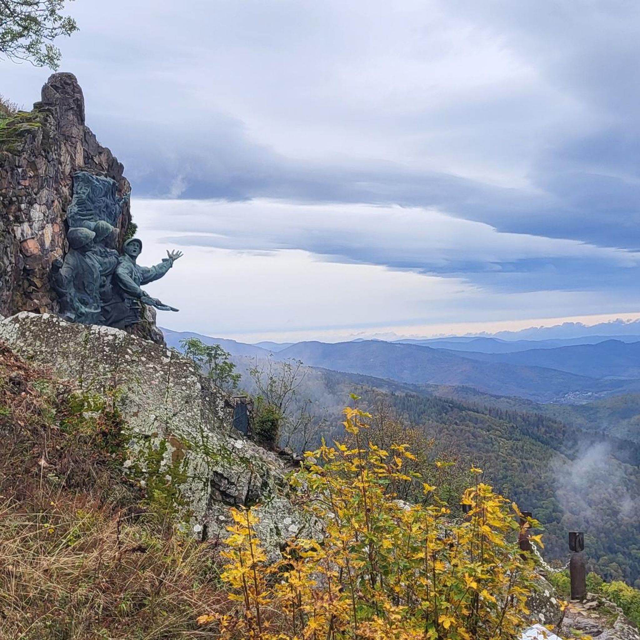
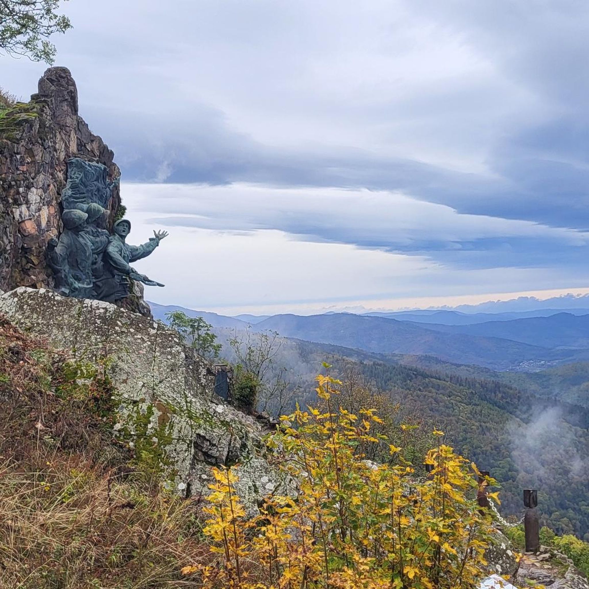
- Another must-see spot is Viewpoint at the summit of Vieil Armand, a viewpoint and historical site. This location, also known as Hartmannswillerkopf, was a strategically important WWI battlefield and offers views of the Alsatian and Upper Rhine plains.
- Visitors also love Storkenkopf, a summit and viewpoint. This is the second highest peak in the Vosges range at 1,366 meters, providing magnificent views of the Grand Ballon.
- Hartmannswiller is known for summits, viewpoints, and historical sites. The region offers a variety of mountain peaks to see and explore, from high-altitude summits to historically significant locations.
- The mountain peaks around Hartmannswiller are appreciated by the komoot community, with over 1100 upvotes and 860 photos shared by visitors.
Last updated: July 7, 2026
Grand Ballon
Highlight • Summit
In 1927, a monument to the Blue Devils (French: Diables bleus), a mountain infantry battalion during World War I, was erected. It was destroyed by the Germans in September 1940 and reconstructed by the sculptor Bouret in October 1960. A radar station has stood on the summit since 1997, serving civilian aviation during approaches to the airports of Strasbourg and Basel-Mulhouse.
On clear days, you can see far into the Rhine Valley and the Alps.
Translated by Google •
Tip by

Grand Ballon
Highlight • Summit
Translated by Google •
Tip by

Sign up now to discover places like this
Get recommendations on the best single tracks, peaks, & plenty of other exciting outdoor places.
Sign up for free
Panoramic view from the Grand Ballon summit
Highlight • Summit
Translated by Google •
Tip by

Viewpoint at the summit of Vieil Armand
Highlight • Viewpoint
It is of the "Molehill" type, model OD 92-95
in the shape of a hemisphere, with a rotating visor.
After the war, these objects were incorporated into the Maginot Line or scrapped.
I find it very good to incorporate such objects into this system, it takes on a different meaning in a place where it once stood more than 100 years ago than in a museum.
Translated by Google •
Tip by

View from the Summit Cross of Hartmannswillerkopf
Highlight • Summit
Translated by Google •
Tip by

Sign up for free to discover even more peaks around Hartmannswiller.
Sign up for free
Already have an account?
Start today with a free account
Your next adventure awaits.
Login or Signup
Tips from the Community

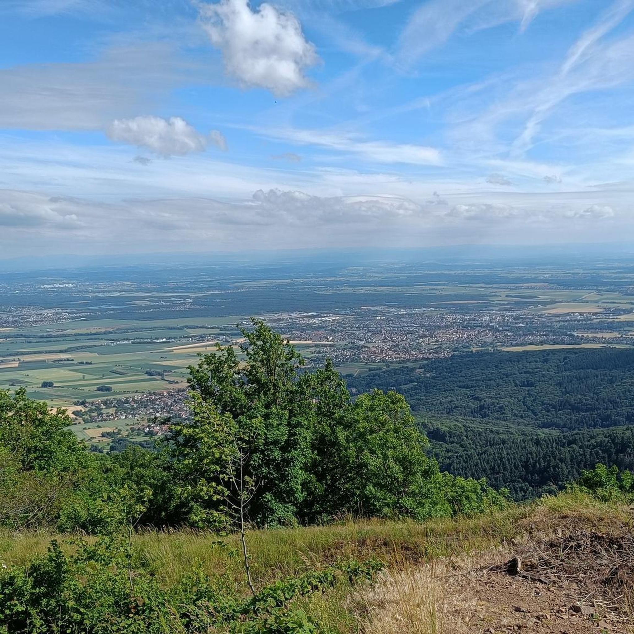
Breathtaking panoramic views across the Rhine plain to the Black Forest, and on clear days, even the Alps. Highly recommended.
3
0

To the north you can still see the Kaiserstuhl
3
0
Great 360 degree panorama. Overview of the entire region
4
0

One of the most beautiful climbs in the Vosges and a must to ride once. My favorite side is the one from Moosch or Soultz
4
1

The highest elevation on the Hartmannsweilerkopf, unfortunately also one of the most tragic places on this battlefield. Around the cross there are many trenches, fortresses and fortifications which can also be visited. These tell the sad story of this otherwise beautiful place.
2
0

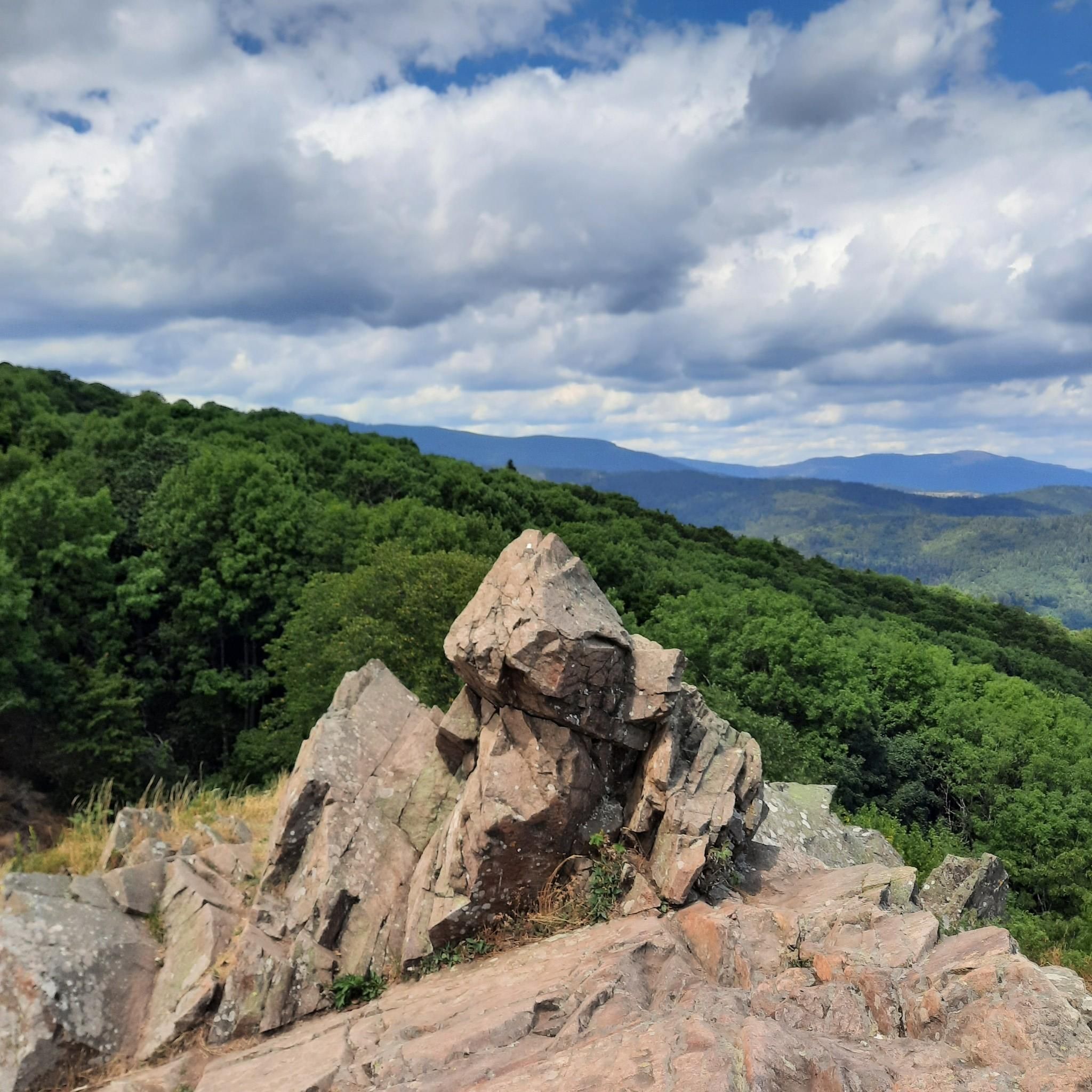
Magnificent 360 degree panorama from the highest peak of the Vosges.
3
0

Historical place in the Vosges that was hotly contested during the First World War
5
0

There are now quite a few stickers on the sign. Good parking in the immediate vicinity (1km) to the summit.
4
1
Frequently Asked Questions
What is the historical significance of the mountain peaks around Hartmannswiller?
The region's most prominent peak, Viewpoint at the summit of Vieil Armand (Hartmannswillerkopf), is primarily known for its pivotal role as a World War I battlefield. It was fiercely contested by French and German forces, leading to significant casualties. Today, it stands as a national monument and memorial site, with preserved trenches, tunnels, and a military cemetery, symbolizing Franco-German reconciliation. You can find more detailed historical context on Wikipedia.
Which mountain peaks offer the best panoramic views?
For breathtaking panoramic views, consider visiting Grand Ballon, the highest peak in the Vosges Mountains. From here, on clear days, you can see across the Rhine Valley, the Black Forest, and even the distant Alps. The Viewpoint at the summit of Vieil Armand also provides extensive views of the Alsatian and Upper Rhine plains. Additionally, Storkenkopf offers magnificent views, particularly of the Grand Ballon.
Are there hiking trails near the mountain peaks around Hartmannswiller?
Yes, the region offers a variety of hiking trails. Many paths lead to and around the prominent peaks like Hartmannswillerkopf, where you can explore historical trenches and enjoy scenic views. For a comprehensive list of routes, you can explore the Hiking around Hartmannswiller guide, which includes routes like the 'Monument to the 152nd Regiment – Tunnel loop' and 'German Trench – Roche Sermet loop'.
What are the highest mountain peaks in the region?
The highest mountain in the Vosges Mountains, and thus in the region, is Grand Ballon, standing at 1,424 meters above sea level. The second highest peak is Storkenkopf, which reaches 1,366 meters.
When is the best time to visit the mountain peaks around Hartmannswiller?
The best time to visit generally depends on your preferred activity. Spring and autumn offer pleasant temperatures for hiking and fewer crowds, with beautiful foliage in the fall. Summer is also popular, though it can be warmer. Winter can be challenging due to snow and ice, especially at higher elevations, but offers a unique experience for those prepared for winter conditions.
Are there family-friendly hiking options in the Hartmannswiller mountain region?
While some trails, especially those around Hartmannswillerkopf, can be challenging due to historical terrain and elevation changes, there are generally options for various fitness levels. For specific family-friendly routes, it's best to consult detailed trail descriptions within the Hiking around Hartmannswiller guide, looking for routes marked with easier difficulty grades.
What other outdoor activities can I do near these mountain peaks?
Beyond hiking, the region around Hartmannswiller offers opportunities for other outdoor activities. You can find various running trails, such as those listed in the Running Trails around Hartmannswiller guide. Road cycling is also popular, with routes like 'Ascent to Col Amic – Amic Pass loop' detailed in the Road Cycling Routes around Hartmannswiller guide.
Is parking available at the trailheads for the mountain peaks?
Yes, parking is generally available near popular access points for the mountain peaks, including the Hartmannswillerkopf memorial site. It is advisable to check specific trail information or local signage for designated parking areas before your visit.
How long does it typically take to hike Hartmannswillerkopf?
The time required to hike Hartmannswillerkopf can vary significantly based on your chosen route, starting point, and how much time you spend exploring the historical trenches and memorial sites. A typical visit and exploration of the main historical areas and viewpoints might take anywhere from 2 to 4 hours, but longer routes are also available.
What should I wear for hiking in the Hartmannswiller mountain region?
For hiking in the Vosges Mountains, it's recommended to wear sturdy hiking boots, as terrain can be uneven and rocky, especially around historical sites like Hartmannswillerkopf. Layered clothing is advisable to adapt to changing weather conditions, and waterproof outerwear is recommended, particularly during spring and autumn. Don't forget sun protection and sufficient water.
Are dogs allowed on the hiking trails around Hartmannswiller's mountain peaks?
Generally, dogs are allowed on most hiking trails in the Vosges Mountains, including those around Hartmannswiller's peaks. However, it is crucial to keep them on a leash, especially in protected areas, near historical sites, or where wildlife is present. Always ensure you clean up after your pet.
Can I find circular hiking routes in the Hartmannswiller peaks area?
Yes, there are several circular hiking routes available that allow you to explore the mountain peaks and return to your starting point. These routes often incorporate historical sites, viewpoints, and natural landscapes. You can find various options, including circular loops, within the Hiking around Hartmannswiller guide.
Most popular routes around Hartmannswiller
Most popular attractions around Hartmannswiller

Get inspired with the komoot mobile app


Explore more
See even more amazing summits around Hartmannswiller with these guides:
