The best cycling routes around Jungholtz
4.4
(1227)
13,495
riders
352
rides
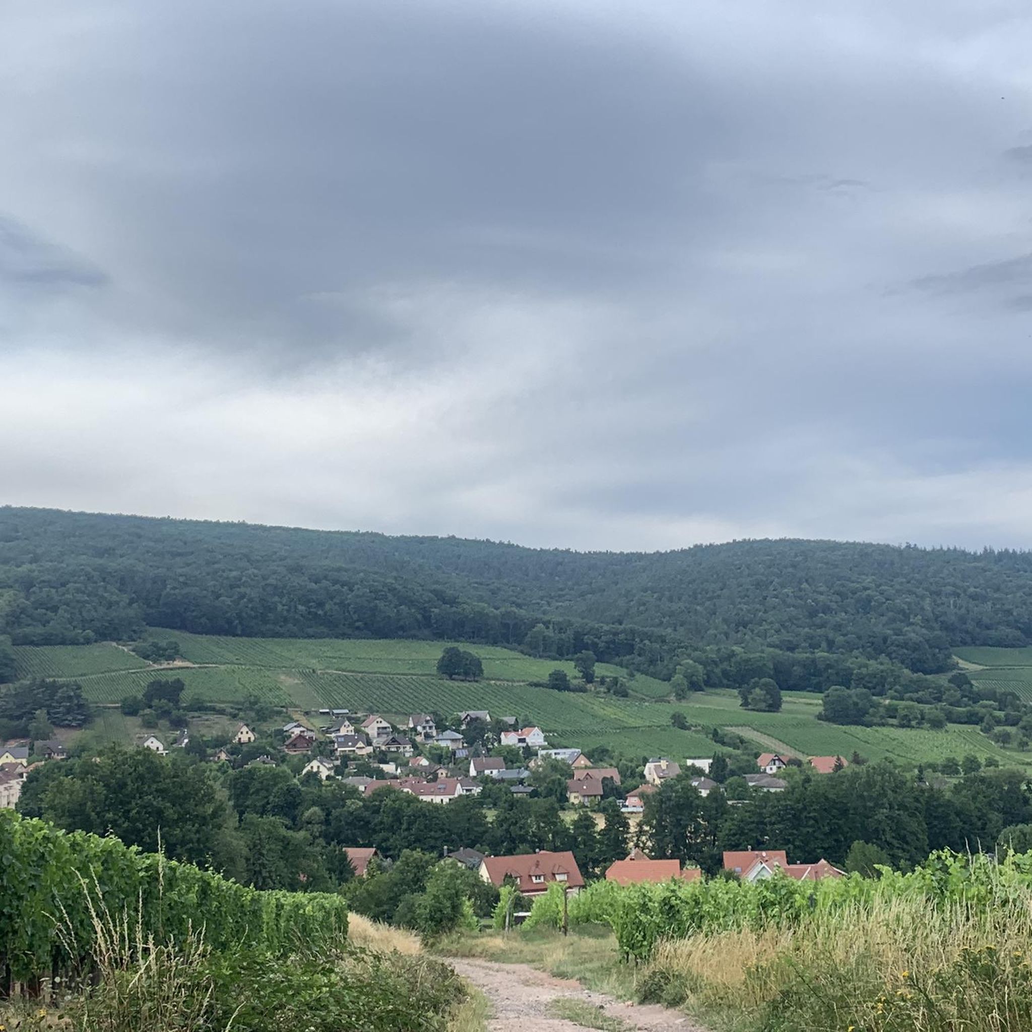
Touring cycling routes around Jungholtz traverse a landscape characterized by undulating vineyards, particularly along the Alsace Wine Route, and extend into the foothills of the Vosges Mountains. The region features varied terrain, from flat paths along rivers like the Thur to challenging climbs over mountain passes such as Col Amic Pass. Cyclists can explore communal forests and enjoy panoramic views of the surrounding mountains and valleys.
Best touring cycling routes around Jungholtz
- The most popular touring cycling route is Col…
Last updated: October 2, 2026
4.4
(23)
140
riders
29.8km
01:53
330m
330m
Moderate bike ride. Good fitness required. Mostly paved surfaces. Suitable for all skill levels.
5.0
(12)
282
riders
31.3km
02:29
830m
830m
Hard bike ride. Very good fitness required. Mostly paved surfaces. Suitable for all skill levels.

4.3
(4)
41
riders
66.8km
04:00
430m
430m
Moderate bike ride. Good fitness required. Mostly paved surfaces. Suitable for all skill levels.
5.0
(4)
47
riders
26.8km
01:38
230m
230m
Moderate bike ride. Good fitness required. Mostly paved surfaces. Suitable for all skill levels.
5.0
(1)
32
riders
23.8km
02:47
940m
940m
Hard bike ride. Very good fitness required. You may need to push your bike for some segments of this route.
Get access to more routes and recommendations from other explorers.
Already have an account?
Our route recommendations are based on thousands of hikes, rides, and runs completed by other people on komoot.
Start today with a free account
Your next adventure awaits.
Tips from the Community

beautiful view there at the spot
0
0
riding up the street is super fun
0
0

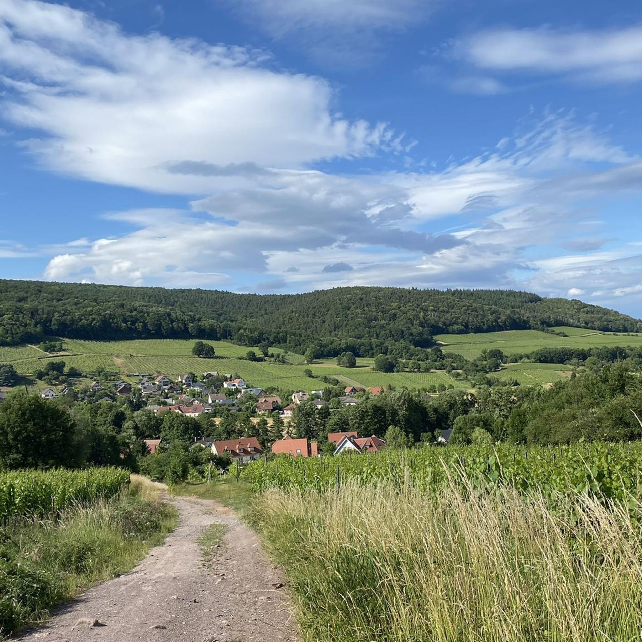
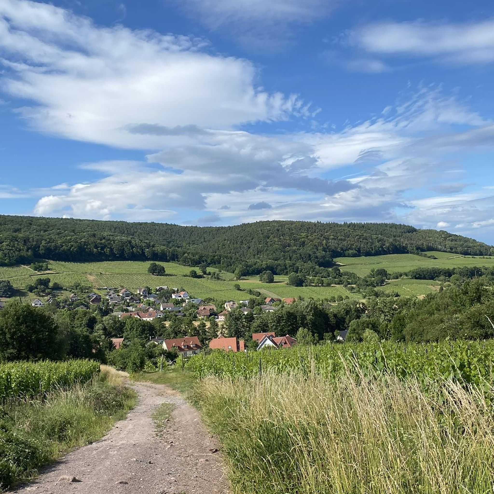
On the route of Col Amic, above the Ferme Auberge Kohlschlag, there is a cozy wooden bench that invites you to take a break. From here, you have a view of the Ferme Auberge Kohlschlag and the mountain Le Sudelkopf. The bench was made as a project by students from the Enstib Épinal wood trade school.
0
0
The Wells of Lautenbach The monks who founded Lautenbach settled in this area because of the abundant water resources. Over the centuries, population growth led to a multitude of wells, both public and private. Many wells, like the Stockbrunnen (a type of well), played an important role in the daily life of the village. The use of solid sandstone testifies to the wealth and prosperity of the village, which had developed into a small industrial town by the end of the 19th century. The wells remained in their original state until the construction of a water supply network. --- The Wells of Lautenbach The monks who founded Lautenbach settled in this area for its water resources. Over the centuries, population growth led to a multiplication of wells, both public and private. The names of the fountains, comme le Stockbrunna, participate in the vie quotidienne of the village. The large size used is signe of the richness and the prosperity of the village qui devient, à la fin du XIXe siècle, a small industrial town. Les fontaines conservent leur état d'origine jusqu'à la creation d'un réseau d'adduction en 1896.
0
0

The church cannot be visited at this time as it is closed for renovations.
2
0

Thann's sloping vineyards are famous for their south-facing orientation with slopes that can reach 45°, offering spectacular and dizzying landscapes. These hillsides, located between 350 and 450 meters above sea level, extend over an area of 22 hectares and are renowned for their volcanic terroir and their proximity to the Thur River, which provides the humidity necessary for the grapes to ripen. Among the grape varieties cultivated are Riesling, Pinot Gris, Gewürztraminer, and Muscat, all grown in often rocky and well-exposed soil, which gives the wines great finesse. Viticulture on these steep terrains requires harvests that are often carried out with ropes to ensure safety on these very steep slopes. These vineyards, particularly the Grand Cru Rangen, are among the most emblematic of the region.
0
0
The Cernay National Cemetery is a memorial dedicated to the soldiers who fell during the battles of Vieil-Armand and Steinbach in the summer of 1914. Created in 1920, it was designed to house the bodies exhumed from temporary military cemeteries in the region and was reorganized after World War II to include soldiers who died between 1940 and 1945. This cemetery contains 2,238 French bodies, as well as Czech, Russian, British, and Serbian combatants. Two ossuaries contain the remains of 938 combatants.
0
0
Frequently Asked Questions
How many touring cycling routes are available around Jungholtz?
Jungholtz offers a wide variety of touring cycling routes, with over 300 different options to explore. These routes cater to various skill levels, from easy rides to more challenging ascents.
What kind of terrain can I expect on touring cycling routes in Jungholtz?
The terrain around Jungholtz is quite varied, offering something for every cyclist. You'll find undulating vineyards, particularly along the Alsace Wine Route, and routes that extend into the foothills of the Vosges Mountains. There are flat paths along rivers like the Thur, as well as challenging climbs over mountain passes such as Col Amic Pass. Surfaces are mostly paved for road cycling, with some unpaved or gravel segments for more adventurous rides.
Are there any family-friendly touring cycling routes in Jungholtz?
Yes, Jungholtz offers a good selection of easier routes suitable for families. With 112 easy routes available, you can find gentle paths, often along rivers or through less hilly vineyard areas, perfect for a relaxed family outing. These routes allow you to enjoy the scenic beauty without overly demanding climbs.
Can I bring my dog on touring cycling routes in Jungholtz?
While specific dog-friendly cycling routes aren't explicitly designated, many paths in the region, especially those through communal forests and along riverbanks, are generally suitable for cycling with a well-behaved dog on a leash. Always ensure your dog is comfortable with the distance and terrain, and check local regulations regarding pets in specific areas or nature reserves.
What are some scenic viewpoints or natural features I can see while cycling?
Cycling around Jungholtz offers numerous scenic highlights. You can enjoy panoramic views across vineyards, especially on routes like the Col du Bannstein – Panoramic view from the vineyards loop from Soultz-Haut-Rhin. The region also features beautiful mountain scenery, including views of the Allgäu Alps, and deep forests. You might also encounter small waterfalls along rivers like the Iller, though not directly in Jungholtz.
Are there routes that pass by historical sites or castles?
Absolutely! The region is rich in history. You can cycle past or visit historical sights like castles and palaces. For example, the Neuenbourg Castle 🏰 – Notre-Dame Church loop from Haut-Rhin takes you past the historic Neuenbourg Castle. Other notable castles in the broader area include The Witch's Eye (Engelbourg Castle) and the Ruins of Hohrupf Castle.
Are there any lakes accessible by touring bike near Jungholtz?
While Jungholtz itself doesn't have large lakes, nearby routes offer access to beautiful bodies of water. You can find lakes such as Ballon Lake and Lake Lauch, which provide stunning views and are often part of scenic cycling tours. The Forggensee lake, though further afield, also offers magnificent mountain views.
What is the best season for touring cycling in Jungholtz?
The best time for touring cycling in Jungholtz is generally from spring to autumn. During these seasons, the weather is most favorable, with pleasant temperatures for cycling and the vineyards are lush or vibrant with autumn colors. Always check the local weather forecast before heading out, especially if planning to tackle mountain passes where conditions can change rapidly.
Are there circular touring cycling routes available?
Yes, many of the touring cycling routes around Jungholtz are designed as loops, allowing you to start and end at the same point. Examples include the popular Col du Bannstein – Panoramic view from the vineyards loop from Soultz-Haut-Rhin and the challenging Col Amic Pass – Grand Ballon loop from Haut-Rhin.
What do other cyclists say about touring cycling in Jungholtz?
The touring cycling routes in Jungholtz are highly regarded by the komoot community, with an average rating of 4.4 stars from over 950 reviews. Cyclists often praise the diverse landscapes, from picturesque vineyards to challenging mountain passes, and the well-maintained paths that offer options for all ability levels.
Is it possible to cycle across borders from Jungholtz?
Jungholtz's unique location between Germany and Austria, though geographically not directly adjacent, means the broader region offers distinctive cross-border cycling opportunities. While not immediate from Jungholtz, well-maintained paths and roads in the wider area allow for exploration of both the Austrian Alps and German mountains, providing a truly international cycling experience.
Where can I find parking for touring cycling routes in Jungholtz?
Parking is generally available in and around the starting points of many touring cycling routes. For routes originating from towns like Soultz-Haut-Rhin or Guebwiller, you can typically find public parking facilities. Specific parking information for trailheads like Col du Bannstein or Col Amic Pass can often be found on local tourism websites or detailed route descriptions.
Are there options for public transport to reach cycling routes?
Public transport options, such as local buses, can connect Jungholtz to nearby towns like Guebwiller, which serve as starting points for several cycling routes. While direct public transport to every trailhead might be limited, using a combination of public transport and short rides can help you access various parts of the cycling network.
Can I find places to eat or stay along the cycling routes?
Yes, many cycling routes in the Jungholtz region pass through charming villages and towns where you can find cafes, pubs, and restaurants to refuel. The Alsace Wine Route, for instance, is dotted with traditional villages offering local cuisine and wine tastings. Accommodation options, from hotels to guesthouses, are also available in these areas for multi-day tours.
Are there routes suitable for experienced touring cyclists looking for a challenge?
Absolutely. For experienced touring cyclists seeking a challenge, Jungholtz offers 132 difficult routes. These include paths with significant elevation gain through mountain passes, such as the Col Amic Pass – Ferme-Auberge du Kohlschlag loop from Haut-Rhin, which features nearly 1000 meters of ascent. The Thur River – Panoramic view from the vineyards loop from Guebwiller is another challenging option, covering over 66 km.
Most popular routes around Jungholtz
Most popular attractions around Jungholtz

Get inspired with the komoot mobile app


Explore more
Browse the best Cycling routes in other regions.
