The best cycling routes around Rimbachzell
4.4
(876)
9,920
riders
281
rides
Touring cycling routes around Rimbachzell are situated within the Vosges Mountains, featuring a diverse topography with elevations ranging from 356 meters to 860 meters. The region is characterized by dense forests, significant peaks like the Grand Ballon, and tranquil valleys. Glacial lakes and vineyards also contribute to the varied landscape, providing a range of cycling experiences. The Rimbach stream flows through the commune, adding to its natural features.
Best touring cycling routes around Rimbachzell
- The most popular touring cycling route…
Last updated: October 15, 2026
4.3
(4)
41
riders
66.8km
04:00
430m
430m
Moderate bike ride. Good fitness required. Mostly paved surfaces. Suitable for all skill levels.
5.0
(7)
25
riders
12.5km
00:46
110m
110m
Easy bike ride. Great for any fitness level. Mostly paved surfaces. Suitable for all skill levels.

5.0
(1)
32
riders
23.8km
02:47
940m
940m
Hard bike ride. Very good fitness required. You may need to push your bike for some segments of this route.
15
riders
16.8km
02:10
790m
790m
Hard bike ride. Very good fitness required. You may need to push your bike for some segments of this route.
10
riders
54.8km
05:57
1,830m
1,830m
Hard bike ride. Very good fitness required. You may need to push your bike for some segments of this route.
Get access to more routes and recommendations from other explorers.
Already have an account?
Our route recommendations are based on thousands of hikes, rides, and runs completed by other people on komoot.
Start today with a free account
Your next adventure awaits.
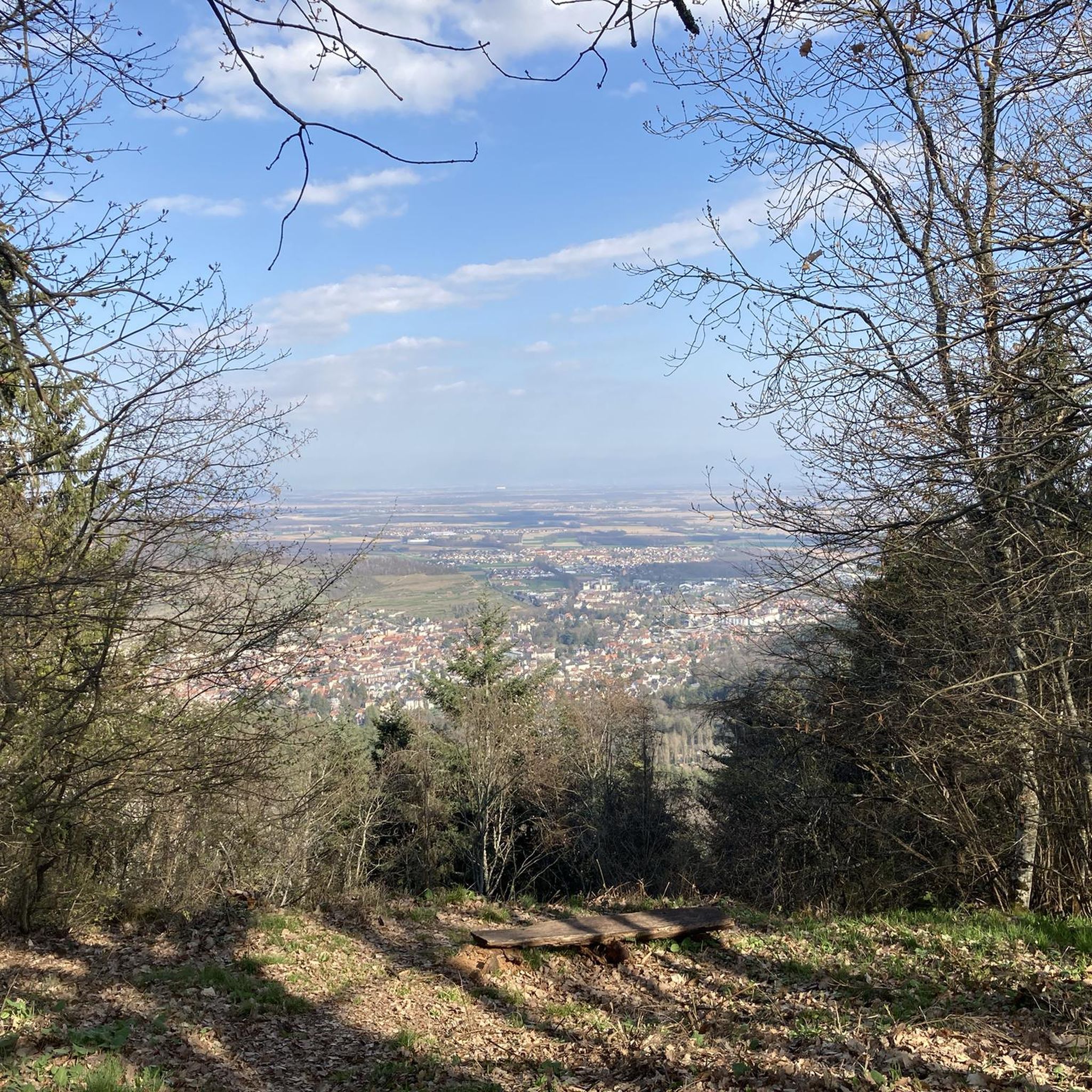
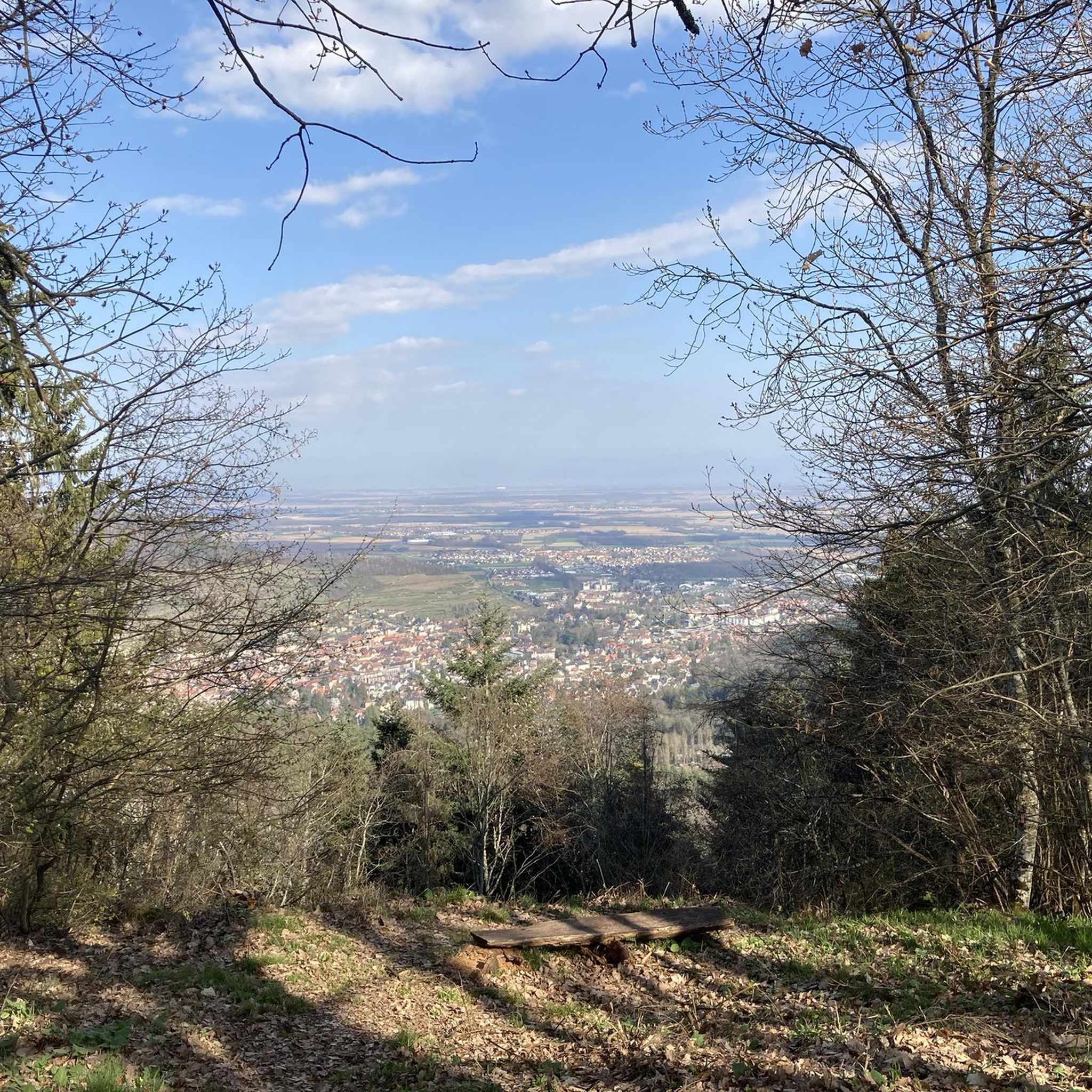
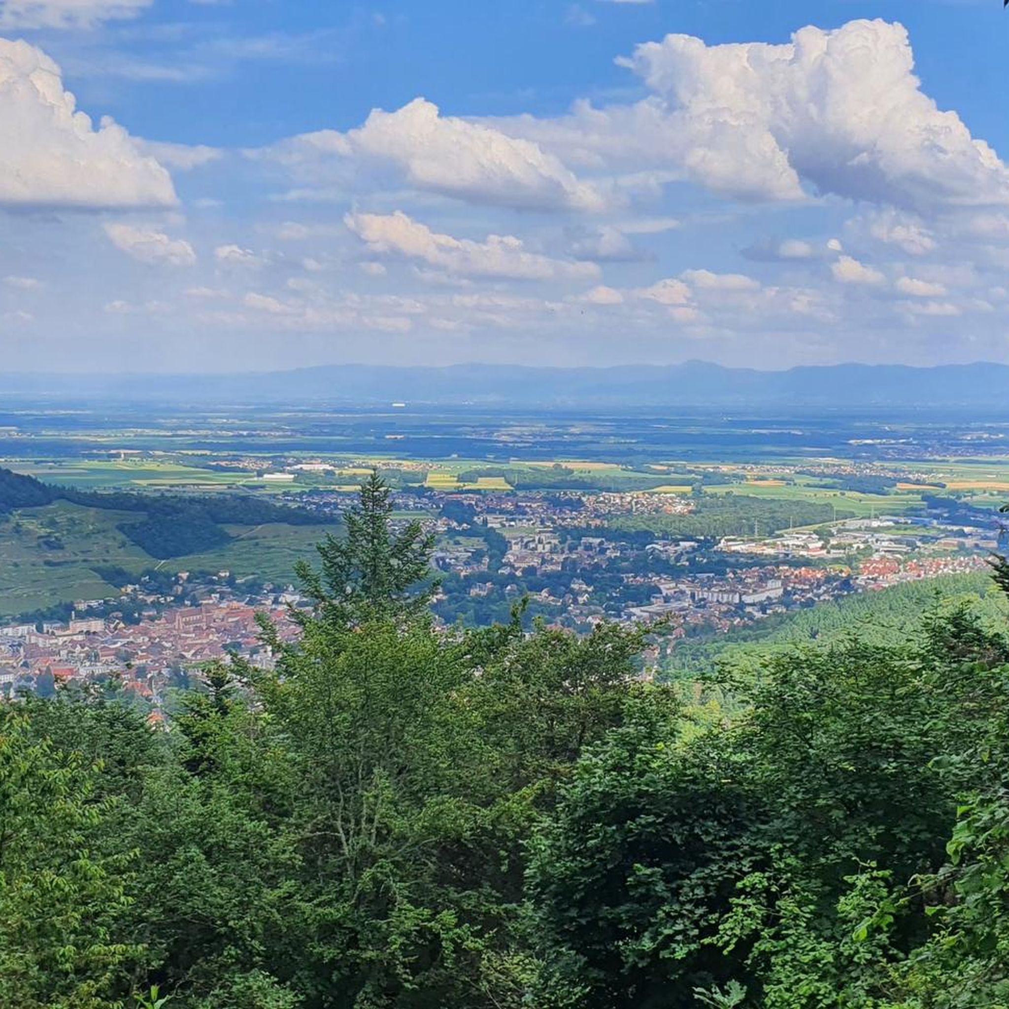
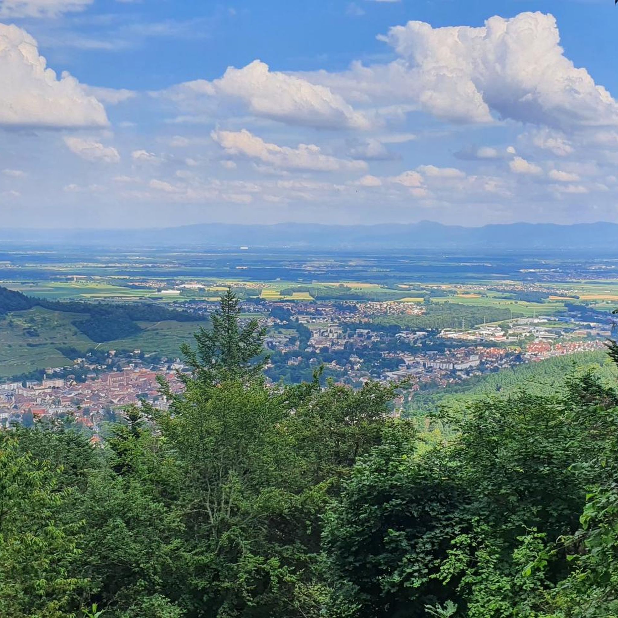
Tips from the Community

Le Grand Ballon (1325 m) forms the highest point of the Vosges mountains and is one of the most famous destinations for cyclists in the mountain range. Although the summit itself is slightly higher (1424 m), the mountain pass is located at an altitude of approximately 1325 meters on the side of the Route des Crêtes. From here, vast panoramas open up over the Vosges, the Alsace plain, and on clear days even as far as the Black Forest and the Alps. For cyclists, Le Grand Ballon is a legendary climb. Long and often challenging ascents lead from the various valleys to this iconic mountain. The final kilometers above the tree line offer an impressive scenery of mountain meadows, rocky outcrops, and expansive vistas.
6
0
The Ferme-Auberge du Haag is a traditional mountain inn located near the Col du Haag (1233 m), at the foot of the Grand Ballon. For generations, the farms on the higher Vosges ridges have been welcoming hikers, cyclists, and winter sports enthusiasts. The Haag farm is situated in the middle of mountain pastures, with a beautiful view over the southern Vosges and the Grand Ballon.
6
0
When you drive from the Route des Crêtes towards Le Grand Ballon, you pass the Col du Haag (1233 m) almost unnoticed. Yet, this pass marks a special point on the southern flank of the highest mountain in the Vosges. Here, steep roads from the Thurdal leave the wooded slopes and reach the open heights of the massif. From the col, a typical Vosges landscape unfolds with mountain meadows, scattered farms, and sweeping views. The proximity of the Grand Ballon is felt everywhere: the imposing summit towers above the pass and forms the natural goal of the final climbing kilometers. For cyclists, the Col du Haag is mainly known as the point where difficult climbs from the valleys converge before the road continues to rise to the highest point of the Vosges.
6
0
Le Markstein (1184 m) is meer dan alleen een kruispunt op de Route des Crêtes. Het is echter een echte bergpas en het hoogste punt van de oversteek tussen het Lauch- en Thurdal. Het ligt in het hart van het Vogezenmassief, midden een populair wintersportgebied dat nauw verbonden is met de Grand Ballon
6
0

Summer 2026: the chalet, its restaurant and the self-service room are closed. Only the tables on the terrace are accessible, but the vegetation has grown. See https://chalethotel-grandballon.com/ : "Dear customers, Due to a lack of staff, the Chalet-Hôtel du Grand Ballon is not able to welcome you at the moment, nor to respond to your reservation requests for the hotel and the restaurant. We have made the decision to close our establishment until we gather the right conditions to resume our activity. Thank you for your understanding The Manager"
1
0

Should be climbed sometime
2
0

The Wells of Lautenbach The monks who founded Lautenbach settled in this area because of the abundant water resources. Over the centuries, population growth led to a multitude of wells, both public and private. Many wells, like the Stockbrunnen (a type of well), played an important role in the daily life of the village. The use of solid sandstone testifies to the wealth and prosperity of the village, which had developed into a small industrial town by the end of the 19th century. The wells remained in their original state until the construction of a water supply network. --- The Wells of Lautenbach The monks who founded Lautenbach settled in this area for its water resources. Over the centuries, population growth led to a multiplication of wells, both public and private. The names of the fountains, comme le Stockbrunna, participate in the vie quotidienne of the village. The large size used is signe of the richness and the prosperity of the village qui devient, à la fin du XIXe siècle, a small industrial town. Les fontaines conservent leur état d'origine jusqu'à la creation d'un réseau d'adduction en 1896.
0
0
Frequently Asked Questions
How many touring cycling routes are available around Rimbachzell?
There are over 270 touring cycling routes around Rimbachzell, offering a wide range of experiences. These include 88 easy routes, 79 moderate routes, and 112 difficult routes, catering to various skill levels.
What kind of terrain can I expect on touring cycling routes near Rimbachzell?
The terrain around Rimbachzell is diverse, characterized by the scenic Vosges Mountains. You can expect routes featuring dense forests, high pastures, and elevated 'balconies' offering expansive vistas. Significant climbs towards peaks like the Grand Ballon and Petit Ballon are common, alongside tranquil valleys and picturesque Alsatian vineyards.
Are there any circular touring cycling routes in the area?
Yes, many routes are designed as loops. For example, the Col du Bannstein – Panoramic view from the vineyards loop from Soultz-Haut-Rhin is a popular moderate option offering great views. Another challenging loop is the Col Amic Pass – Grand Ballon loop from Haut-Rhin, which features significant elevation gain.
What do other cyclists say about touring in Rimbachzell?
The touring cycling routes around Rimbachzell are highly rated by the komoot community, with an average score of 4.4 stars from over 600 reviews. More than 7,000 touring cyclists have used komoot to explore the varied terrain, often praising the stunning mountain vistas and diverse landscapes.
Are there any routes that pass by lakes or offer water views?
Yes, the region features beautiful lakes. The Markstein – Lake Lauch loop from Guebwiller is a difficult route that takes you past Lake Lauch. You can also find the serene Ballon Lake (Lac du Ballon), nestled in a glacial cirque, which is a picturesque spot to include in your ride.
Can I find any waterfalls along the cycling routes?
While not directly on a featured route, the beautiful Cascade de l'Erzenbach is hidden within the forest near Silberthal and can be a rewarding detour or a point of interest to explore during your cycling tour.
Are there historical sites or cultural attractions accessible by bike?
Absolutely. The region is rich in history and culture. You can cycle to nearby historical sites such as the Adlerhorst Command Post – World War I or the Schletzenbourg medieval mine. The Murbach Abbey is also just 3 km from Rimbachzell, offering a glimpse into the region's past.
What are some notable viewpoints or landmarks I can visit?
The region boasts numerous breathtaking viewpoints. The Grand Ballon, the highest peak in the Vosges, offers panoramic views. The Petit Ballon also provides 360-degree views stretching across the Alsace plain to the Black Forest. The View of the Grand Ballon highlight is a popular spot, and the Col Amic pass is another scenic point for cyclists.
What is the best time of year for touring cycling in Rimbachzell?
The best time for touring cycling in Rimbachzell is generally from spring to autumn. During these seasons, the weather is more favorable, and the landscapes are vibrant. Summer offers warmer temperatures, while spring and autumn provide cooler rides and beautiful foliage, especially through the vineyards and forests.
Are there any routes suitable for beginners or those looking for an easier ride?
Yes, there are 88 easy touring cycling routes around Rimbachzell. While specific beginner routes are not highlighted here, these easier options typically feature less elevation gain and shorter distances, making them ideal for a more relaxed cycling experience through the valleys and charming villages.
Can I find routes that pass through charming towns or villages?
Many routes in the Rimbachzell area connect to or pass by charming Alsatian towns and villages. Guebwiller is just 3 km away, and other historically rich towns like Eguisheim, Riquewihr, Colmar, and Kaysersberg are within cycling distance, offering picturesque stops and cultural experiences.
Are there any routes that explore the Alsatian vineyards?
Yes, the broader Alsace region is renowned for its vineyards, and many routes offer picturesque cycling through these wine-growing landscapes. The Beautiful blue metal bridge – View of the Rodolphe mine loop from Guebwiller, for instance, leads through varied terrain that often includes vineyard views near Guebwiller.
Most popular routes around Rimbachzell
Most popular attractions around Rimbachzell

Get inspired with the komoot mobile app


Explore more
Browse the best Cycling routes in other regions.
