The best running trails around Lautenbach
5.0
(2)
211
runners
24
runs
Jogging around Lautenbach offers diverse landscapes within the Black Forest foothills and the scenic Rench Valley. The region features picturesque vineyards, dense forests, and varying elevations suitable for different running preferences. The Kinzig River meanders through the valley, adding to the natural scenery. This area provides a network of trails for both challenging ascents and more relaxed stretches.
Best jogging routes around Lautenbach
- The most popular jogging route is Petit Ballon Summit – Lauch Lake loop from Linthal, a…
Last updated: June 28, 2026
33
runners
44.5km
06:20
1,850m
1,850m
Hard run. Very good fitness required. Sure-footedness, sturdy shoes and alpine experience required.
21
runners
Hard run. Very good fitness required. Mostly paved surfaces. Suitable for all skill levels.

Sign up for free
19
runners
18.6km
02:45
920m
920m
Hard run. Very good fitness required. Sure-footedness, sturdy shoes and alpine experience required.
13
runners
14.6km
02:05
600m
600m
Hard run. Very good fitness required. Sure-footedness, sturdy shoes and alpine experience required.
9
runners
29.6km
04:22
1,260m
1,260m
Hard run. Very good fitness required. Sure-footedness, sturdy shoes and alpine experience required.
Get access to more routes and recommendations from other explorers.
Sign up for free
Already have an account?
Our route recommendations are based on thousands of hikes, rides, and runs completed by other people on komoot.
Start today with a free account
Your next adventure awaits.
Login or Signup
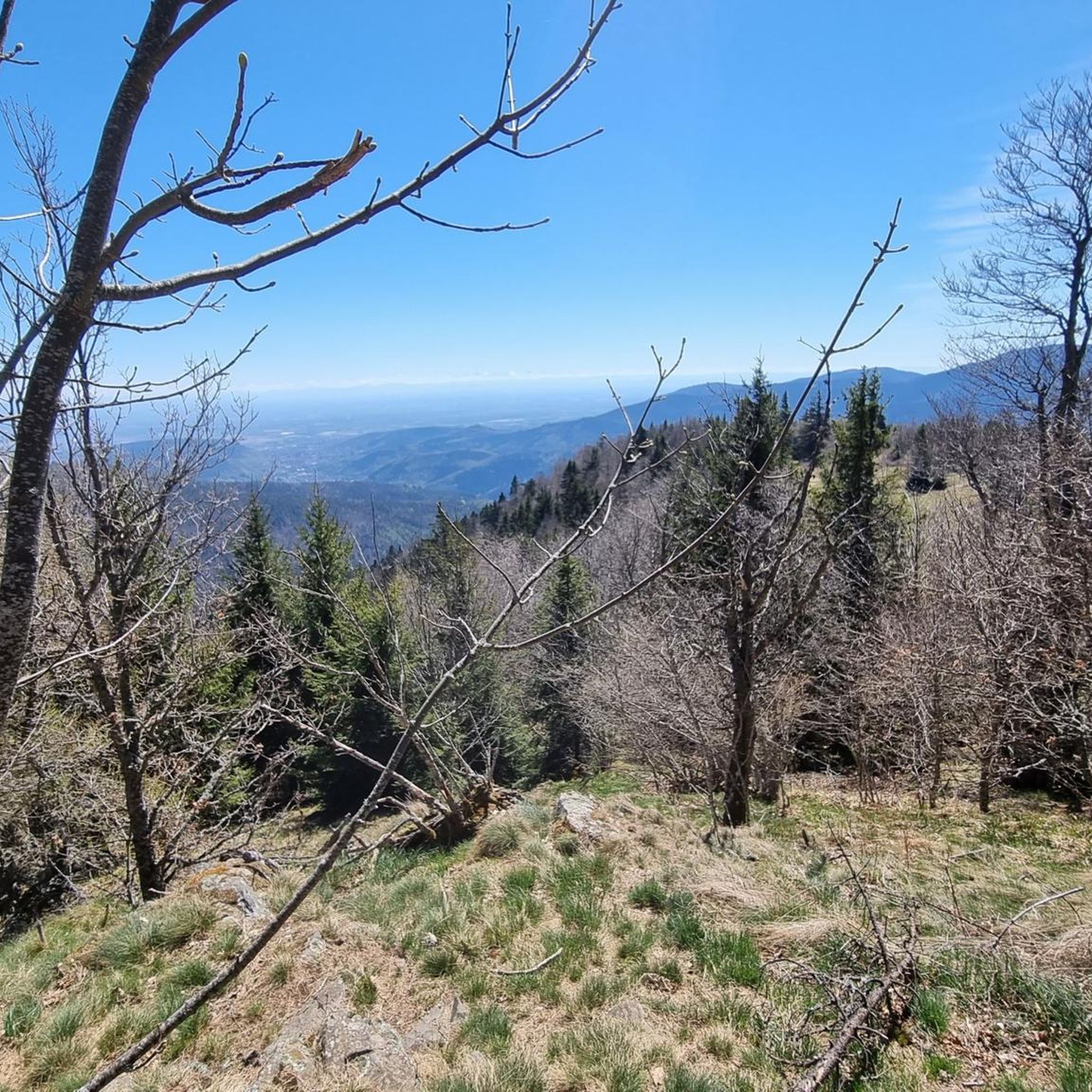
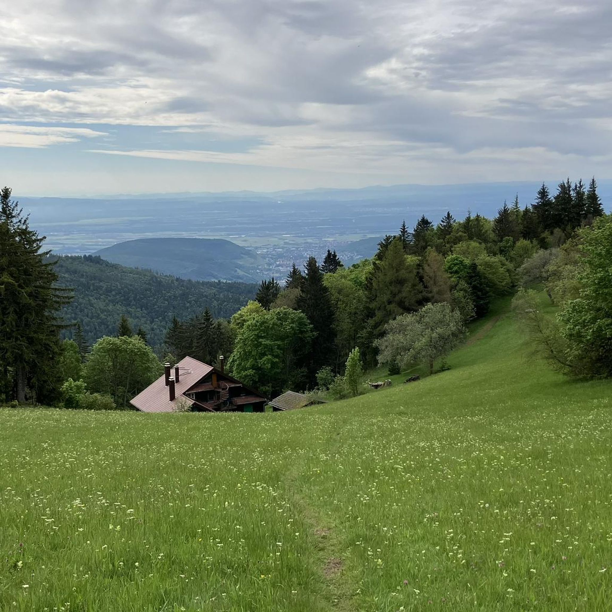
Tips from the Community

Next to the road there are super narrow hiking trails that are also good to ride with an MTB.
0
0

The break with the Münsterland cheese was absolutely fantastic! It was so delicious 😋 #Break #Cheese #Treat #Enjoyment
0
0

A pleasant section to ride, with moderate climbs and little traffic. There were a few racing cyclists on the road.
0
0

The artificially created, yet idyllically situated "Lac de la Lauch" lake is featured in the komoot system not only for joggers, but also as a highlight for various sports, including hikers, with many more photos uploaded there. If you're interested, see =>>https://www.komoot.com/de-de/highlight/308200
0
0

A challenge on a mountain bike without a motor. But the downhill trails are great. It's worth it 👍🏻
2
0

No, swimming or bathing is not permitted in Lac de la Lauch. Located in the Vallée de la Lauch, Lac de la Lauch is a reservoir fed by the Lauchbach stream, which flows in and out. It serves as a source of drinking water. The valley, with its meltwater streams running along the mountain slopes, is relatively rich in water and features shady forests.
0
0

Quite rustic - very warm hospitality. Very cheap!
2
0

Drinks are available for guests (food is only cooked by and for the overnight guests)... top location below the Petit Ballon. If you want something to eat - there is the Ferme Auberge further down 😉
1
0
Frequently Asked Questions
How many running routes are available in Lautenbach?
There are over 20 running routes available around Lautenbach on komoot, catering to various fitness levels and preferences. These include options from easy paths to challenging mountain ascents.
What kind of terrain can I expect on running trails around Lautenbach?
Running trails in Lautenbach offer a diverse landscape, from picturesque vineyards and the rolling foothills of the Black Forest to dense forests, including the unique 'Little America' area with impressive Douglas firs. You'll find varying elevations, providing both challenging ascents and more relaxed stretches along the Rench Valley.
Are there any running routes with scenic viewpoints or landmarks?
Yes, many routes offer rewarding views. For instance, trails in the region lead to spectacular panoramic views across the Black Forest and even to the Rhine Valley. You might encounter landmarks like the Josefsbrünnele fountain or the ruins of Neuenstein Castle on trails such as the Teufelssteig. For breathtaking vistas, consider routes that pass by Grand Ballon or Petit Ballon.
Can I find routes suitable for beginners or those looking for an easy run?
While many routes in Lautenbach are challenging, there is at least one easy running route available on komoot. The region's diverse network also includes more relaxed stretches, such as those along the Rench Valley or the Renchtal Cycle Path, which can be suitable for easier jogs.
Are there challenging running trails for experienced runners?
Absolutely. Lautenbach is known for its challenging routes, with 17 out of 24 routes on komoot rated as difficult. An example is the Petit Ballon Summit – Lauch Lake loop from Linthal, a 27.7-mile trail with significant elevation gain, offering extensive views for experienced runners.
Are there any circular running routes in Lautenbach?
Yes, many of the running routes in Lautenbach are designed as loops, allowing you to start and finish at the same point. Examples include the Boenlesgrab Pass – Petit Ballon Pass (1,163 m) loop from Col de Boenlesgrab and the Bannstein Pass – Col du Dreibannstein loop from Saint-Gangolphe.
What do other runners say about the trails in Lautenbach?
The running routes in Lautenbach are highly rated by the komoot community, with an average score of 5.0 stars. Over 200 runners have used komoot to explore the varied terrain, often praising the beautiful backdrop of the Black Forest foothills and the diverse landscapes.
Are the running routes in Lautenbach suitable for families?
Some trails in the Lautenbach area are considered family-friendly, such as parts of the Teufelssteig (Devil's Trail) which primarily uses forest roads. The Adventure Trail Mara Ladybug, winding through flowering areas and parks, could also offer a more leisurely and scenic option for families.
Can I bring my dog on the running trails in Lautenbach?
Generally, many outdoor trails in the Black Forest region are dog-friendly, provided dogs are kept on a leash, especially in nature protection areas or near wildlife. It's always advisable to check local regulations for specific trails, but the natural environment of Lautenbach is welcoming to responsible dog owners.
What is the best time of year to go running in Lautenbach?
Lautenbach offers a great environment for running throughout much of the year. Spring and autumn provide pleasant temperatures and beautiful scenery with blooming vineyards or colorful foliage. Summer offers shaded paths in the dense forests, while winter can transform the landscape into a serene, snowy wonderland, though some higher trails might require appropriate gear or be less accessible.
Are there any routes that feature lakes or water bodies?
Yes, some running routes in the broader Lautenbach area feature beautiful lakes. For example, the Petit Ballon Summit – Lauch Lake loop from Linthal includes the scenic Lake Lauch. Other nearby lakes include Ballon Lake and Lac du Ballon.
How can I get to the running trails in Lautenbach?
Lautenbach is accessible by car, with various parking options available near trailheads. For public transport, you can check regional bus and train connections to Lautenbach. More detailed information on local transport and accessibility can often be found on the official Renchtal tourism website: renchtal-tourismus.de.
Most popular routes around Lautenbach
Most popular attractions around Lautenbach

Get inspired with the komoot mobile app


Explore more
Browse the best Running Trails & Routes in other regions.
