The best walks and hikes around Graissessac
4.4
(354)
1,835
hikers
142
hikes
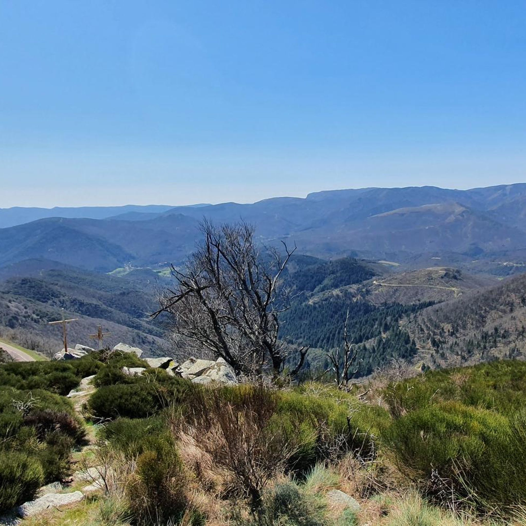
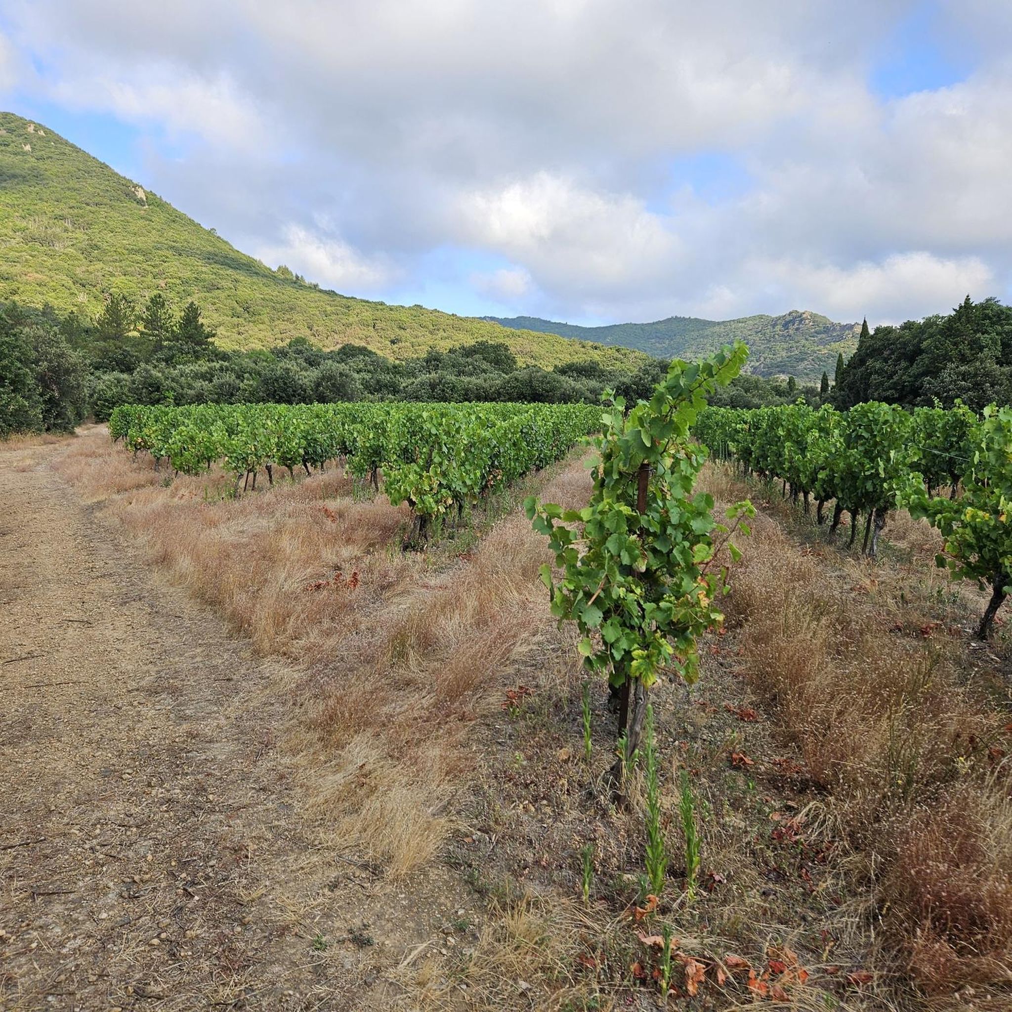
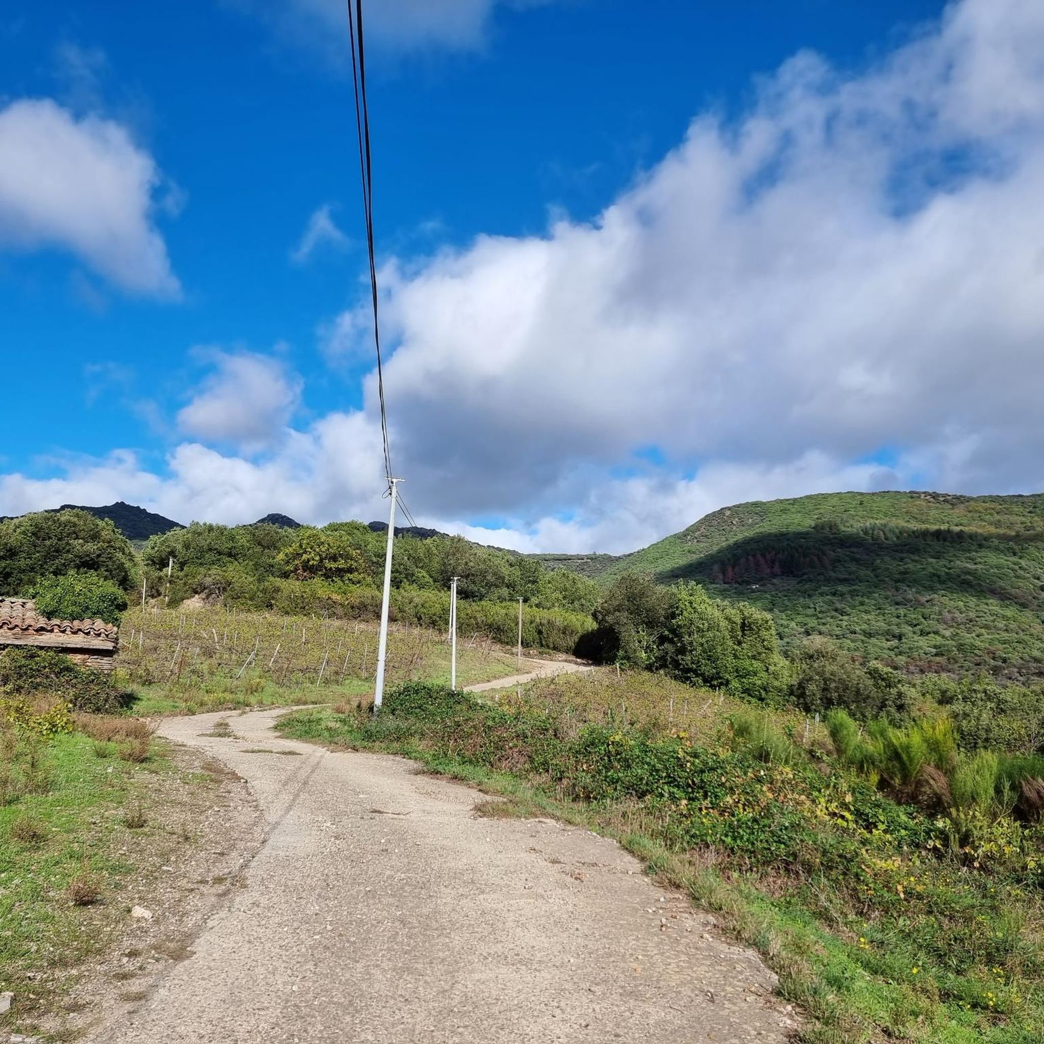
Hiking around Graissessac offers a diverse landscape characterized by rolling hills, forested areas, and historical mining features. The region features varied elevations, including passes and summits, providing panoramic views. Trails often traverse through natural terrain, with some routes exploring the remnants of past industrial activity.
Best hiking trails around Graissessac
- The most popular hiking route is Le Devois Loop, a 7.3 miles (11.7 km) trail that takes 4 hours 3 minutes to complete. This moderate route features significant elevation…
Last updated: October 10, 2026
4.7
(15)
59
hikers
11.7km
04:03
630m
630m
Moderate hike. Good fitness required. Easily-accessible paths. Suitable for all skill levels.
4.5
(6)
73
hikers
13.2km
04:02
450m
450m
Moderate hike. Good fitness required. Easily-accessible paths. Suitable for all skill levels.

4.6
(9)
19
hikers
10.3km
02:59
260m
260m
Moderate hike. Good fitness required. Easily-accessible paths. Suitable for all skill levels.
5.0
(3)
13
hikers
5.14km
01:31
150m
150m
Easy hike. Great for any fitness level. Easily-accessible paths. Suitable for all skill levels.
5.0
(2)
40
hikers
12.0km
04:47
760m
760m
Moderate hike. Good fitness required. Mostly accessible paths. Sure-footedness required.
Get access to more routes and recommendations from other explorers.
Already have an account?
Our route recommendations are based on thousands of hikes, rides, and runs completed by other people on komoot.
Start today with a free account
Your next adventure awaits.

Other adventures around Graissessac

Tips from the Community

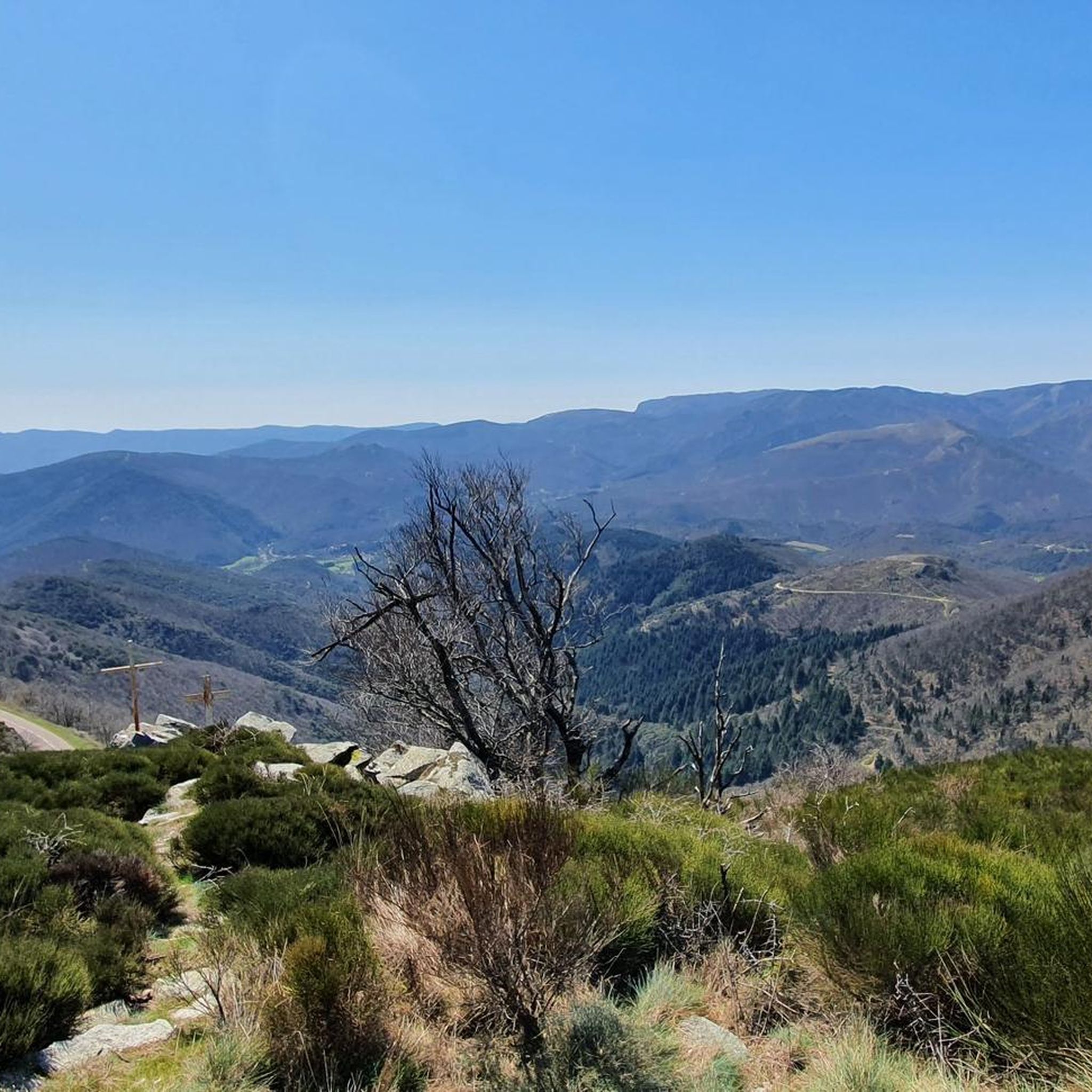
At the summit of Croix de Marcou, the landscape unfolds in all its grandeur. The view opens up almost 360°, offering a striking panorama of the Haut-Languedoc reliefs: ridges, valleys, and plateaux succeed each other to the distant horizons. A summit where you fully grasp the immensity and diversity of these mountains!
0
0

A small local summit, accessible and equipped with an orientation table indicating the massifs and points of interest at 360°
1
0


You arrive here in the small village of Plaisance. A providential name that perfectly expresses the feeling one feels when arriving. The small stone bridge that spans the Bouissou river, its green environment make it an ideal spot to stop and take a break.
1
0

magnificent panorama over the whole region
0
0
Frequently Asked Questions
How many hiking trails are available in Graissessac?
Graissessac offers a wide variety of hiking opportunities, with over 130 routes available. These range from easy strolls to more challenging treks, ensuring there's something for every hiker.
Are there easy hiking trails suitable for families in Graissessac?
Yes, Graissessac has about 30 easy hiking trails perfect for families. These routes often feature gentle terrain and shorter distances. An example is the Great views – Mineshaft loop from Camplong, which is an easy 3.6-mile (5.8 km) trail.
Can I find challenging hikes in Graissessac?
Absolutely. For those seeking a challenge, there are approximately 20 difficult routes in Graissessac. These trails typically involve significant elevation gains and longer distances, offering a rewarding experience for experienced hikers.
What kind of natural landmarks or points of interest can I see while hiking in Graissessac?
The trails around Graissessac lead to various natural landmarks. You can explore mountain passes like Layrac Pass or the Col de la Croix de Mounis. Other notable natural features include the Roquandouire Arch and the impressive Falaises d'Orque.
Are there any historical sites or mining features to explore on the trails?
Yes, the region has a rich mining history, and several trails incorporate these features. For instance, the Mineshaft – Great views loop from Camplong takes you through areas with remnants of past industrial activity, offering a glimpse into the area's heritage.
Are the hiking trails in Graissessac dog-friendly?
Many trails in Graissessac are suitable for dogs, but it's always recommended to check specific route details on komoot for any restrictions or requirements, especially regarding livestock or protected areas. Always keep your dog under control and clean up after them.
When is the best time of year to go hiking in Graissessac?
The best time for hiking in Graissessac is generally during spring (April to June) and autumn (September to October) when the weather is mild and the landscapes are particularly beautiful. Summer can be warm, so early morning or late afternoon hikes are preferable then. Winter hiking is possible but requires appropriate gear for potentially colder and wetter conditions.
What are the typical trail conditions like in Graissessac?
Trails in Graissessac vary from well-maintained paths to more rugged, natural terrain. You can expect a mix of forested sections, open rolling hills, and some rocky or uneven surfaces, especially on routes with significant elevation changes. Some trails may be muddy after rain, so sturdy hiking footwear is advisable.
Can I find circular walks in Graissessac?
Yes, many of the hiking routes in Graissessac are circular, allowing you to start and end at the same point. The Summit loop from Camplong is a popular moderate circular route that offers expansive views.
Is parking available at the trailheads in Graissessac?
Parking is generally available at or near the starting points of many popular trails and in villages like Camplong. It's advisable to check the route description on komoot for specific parking information before you head out, as some smaller trailheads might have limited space.
What do other hikers enjoy most about hiking in Graissessac?
The area is highly rated by the komoot community, with an average score of 4.4 stars from over 280 reviews. Hikers often praise the diverse landscape, which combines rolling hills, dense forests, and historical mining features, as well as the panoramic views from elevated points.
Are there any trails suitable for wheelchairs or strollers in Graissessac?
While many trails in Graissessac feature natural terrain and varied elevations, making them less suitable for wheelchairs or strollers, there might be some shorter, paved sections or accessible paths in local parks or village areas. For specific accessible routes, it's best to filter trails by 'easy' difficulty and check the surface details on komoot.
Most popular routes around Graissessac
Most popular attractions around Graissessac

Get inspired with the komoot mobile app


Explore more
Browse the best Hikes in other regions.
