The best road cycling routes around Marignac-En-Diois
4.6
(385)
7,309
riders
65
rides
Road cycling routes around Marignac-En-Diois traverse a diverse landscape, situated within the Vercors Regional Natural Park and the Diois region. The terrain features steep-sided valleys, plateaus, and mountains, providing varied elevation profiles for road cyclists. The Drôme river flows through the area, creating a distinct valley, while vineyards and lavender fields characterize lower elevations. The region is known for its numerous mountain passes, offering challenging ascents and descents.
Best road cycling routes around Marignac-En-Diois
- The most popular road cycling route…
Last updated: August 25, 2026
4.8
(26)
591
riders
68.7km
03:41
1,380m
1,380m
Hard road ride. Very good fitness required. Mostly well-paved surfaces and easy to ride.
4.9
(9)
201
riders
85.9km
04:20
1,390m
1,390m
Hard road ride. Very good fitness required. Mostly well-paved surfaces and easy to ride.

Sign up for free
4.8
(21)
90
riders
35.4km
01:34
330m
330m
Moderate road ride. Good fitness required. Mostly well-paved surfaces and easy to ride.
4.1
(17)
45
riders
21.0km
01:15
540m
540m
Moderate road ride. Good fitness required. Mostly well-paved surfaces and easy to ride.
5.0
(1)
25
riders
108km
05:35
1,850m
1,850m
Hard road ride. Very good fitness required. Some segments of this route may be unpaved and difficult to ride.
Get access to more routes and recommendations from other explorers.
Sign up for free
Already have an account?
Our route recommendations are based on thousands of hikes, rides, and runs completed by other people on komoot.
Start today with a free account
Your next adventure awaits.
Login or Signup
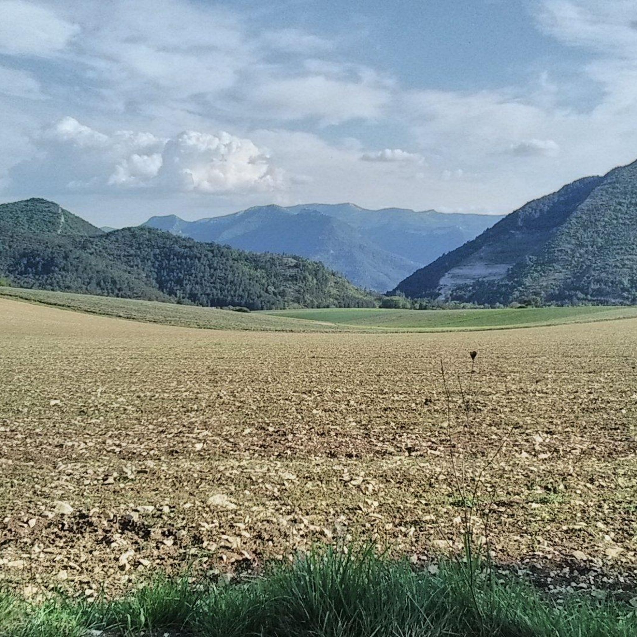
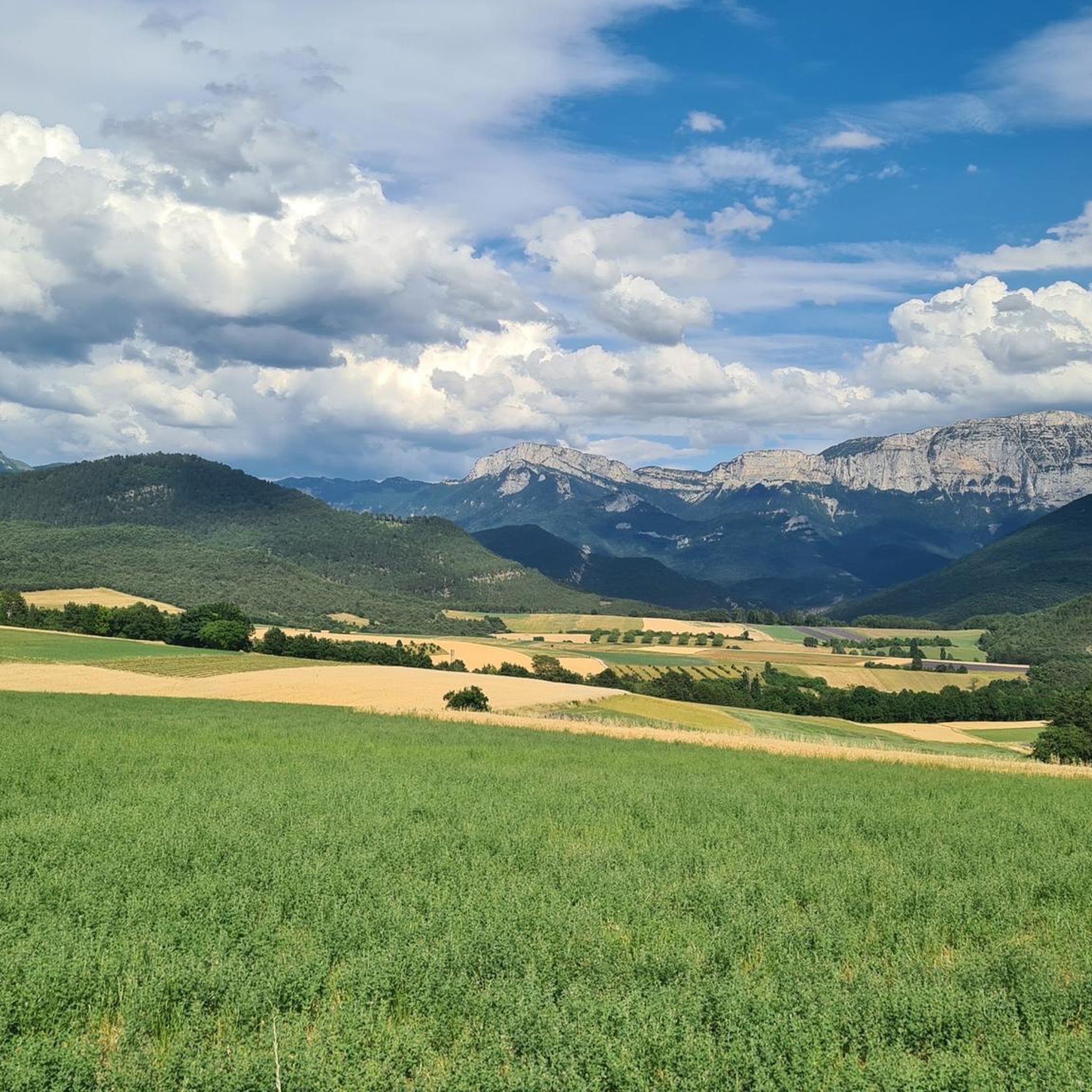
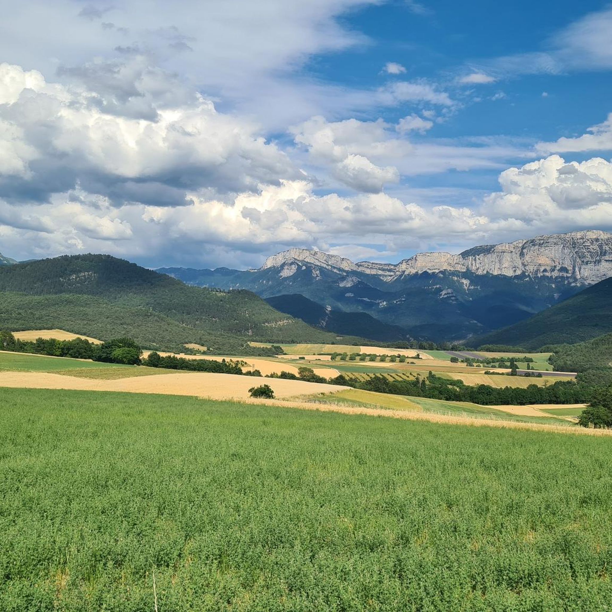
Tips from the Community

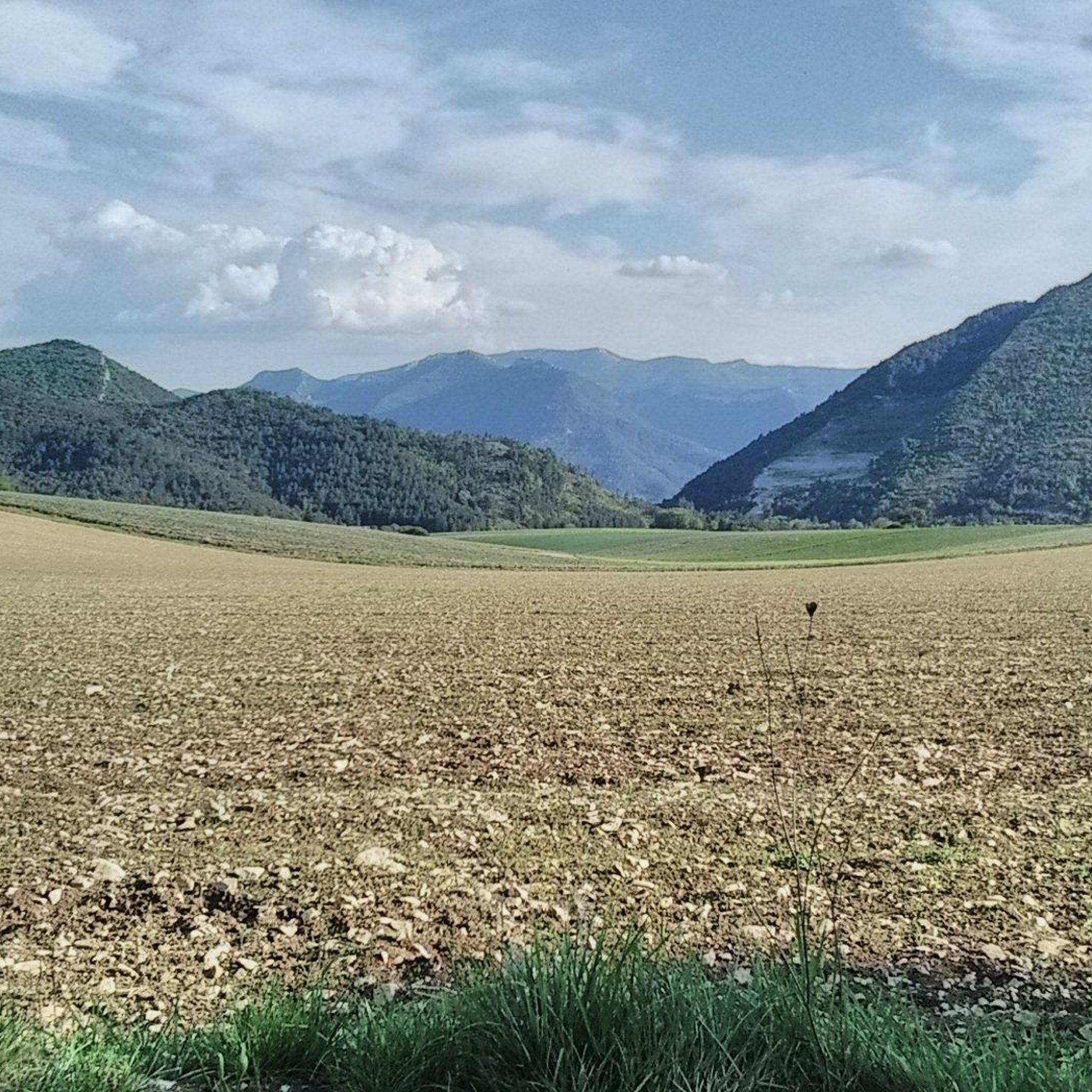
A spectacular section of the route that captures the essence of the Drôme Valley. On one side the crystal-clear, swimmable waters of one of Europe's last natural rivers, on the other the unmistakable profile of the Forêt de Saoû and its three iconic peaks (the Trois Becs).
6
0
Road without traffic with asphalt in perfect condition.
3
0
Splendid panoramic viewpoint immersed in nature, ideal for a short stop during the route. From here, a wide and evocative view opens up over the surrounding landscape, with valleys, mountains, and small villages that follow one another on the horizon. A perfect place to stop, take some photos, and enjoy the tranquility and beauty of the panorama for a few minutes.
9
0
A perfect place to stop, take some photos and enjoy the tranquility and beauty of the panorama for a few minutes.
9
0
The climb starts quite gently from Chamaloc and becomes progressively more challenging as you enter the spectacular valley. The most scenic part is the final section, with hairpin bends set into the rock faces and the impressive crossing of the Col du Rousset tunnel.
9
0
🚴 Col du Rousset – Chamaloc side * Start: Chamaloc * Finish: Col du Rousset * Altitude: approx. 1,254 m * Length: approx. 11 km * Elevation gain: approx. 650 m * Average gradient: ~6% * Maximum gradients: around 9–10% * Surface: asphalt and generally in good condition
9
0
Splendid panoramic viewpoint immersed in nature, ideal for a short break during the route
7
0

Today snowfall, rain and flat tire 🤷🏼♂️
1
0
Frequently Asked Questions
What kind of terrain and difficulty can I expect for road cycling around Marignac-en-Diois?
The Marignac-en-Diois area, situated between the Vercors Regional Natural Park and the Diois region, offers a diverse range of terrain. You'll encounter steep-sided valleys, high plateaus, and mountains, providing varied elevation profiles. The region is renowned for its numerous mountain passes, such as Rossas, Fays, and Rousset, offering challenging ascents and exhilarating descents. Lower elevations feature picturesque vineyards and fragrant lavender fields. Out of over 60 routes, you'll find options for all abilities, including 10 easy, 27 moderate, and 27 difficult routes.
How many road cycling routes are available in the Marignac-en-Diois area?
There are over 60 road cycling routes available around Marignac-en-Diois, catering to various skill levels. These routes traverse the diverse landscapes of the Diois region and the Vercors Regional Natural Park.
When is the best time of year for road cycling in Marignac-en-Diois?
The best time for road cycling in Marignac-en-Diois is typically from spring to early autumn. During these months, the weather is generally pleasant, allowing you to enjoy the region's natural beauty, including the blooming lavender fields and active vineyards. The
Are there family-friendly road cycling routes suitable for all ages?
Yes, the Marignac-en-Diois area offers family-friendly road cycling options, particularly on flatter sections along the Drôme River valley or through vineyards. While many routes involve climbs, there are 10 routes classified as easy, which are often suitable for families looking for less strenuous rides. The
What are some notable natural attractions or landmarks I can see while cycling?
While cycling around Marignac-en-Diois, you can encounter several natural attractions and landmarks. The routes often pass through the dramatic landscapes of the Vercors Regional Natural Park, offering views of majestic mountains like Mont Aiguille and the Glandasse. You might also cycle alongside the Drôme River, known as the last wild river in the Alps. Other points of interest include the spectacular Cirque d'Archiane, where vultures glide, and the chaotic scenery of Le Claps, a site of a massive rockfall. For specific viewpoints, consider highlights like Justin's Cross or the Col de Rousset.
Are there any circular road cycling routes starting from Marignac-en-Diois or nearby towns?
Yes, the region offers several circular road cycling routes. For instance, the Panoramic View of the Diois – Col de Rousset loop from Romeyer is a popular option. Another example is the Miscon Pass – Die loop from Die, which provides a comprehensive tour of the area's varied landscapes. These loops allow you to experience the diverse scenery without retracing your path.
What do other road cyclists enjoy most about cycling in Marignac-en-Diois?
The Marignac-en-Diois area is highly rated by the komoot community, with an average score of 4.6 stars from over 300 reviews. Cyclists often praise the region's diverse and stunning landscapes, from challenging mountain passes to serene vineyard routes. The relatively uncongested minor roads are also frequently highlighted, allowing riders to immerse themselves in the scenery and enjoy a peaceful cycling experience.
Are there specific regulations or permits required for cycling within the Vercors Regional Natural Park?
Generally, road cycling on public roads within the Vercors Regional Natural Park does not require specific permits. However, it's always advisable to respect local regulations, especially concerning protected areas, wildlife, and private property. For detailed information on park rules and any specific restrictions, you can consult the official Vercors Regional Natural Park resources.
Where can I find parking for my car when starting a road cycling route in Marignac-en-Diois?
While specific dedicated cyclist parking in Marignac-en-Diois village isn't detailed, you can typically find public parking areas within the village or in nearby towns like Die and Châtillon-en-Diois, which serve as common starting points for many routes. Look for municipal parking lots or designated street parking. Always ensure your vehicle is parked legally and safely.
Can I access Marignac-en-Diois and surrounding cycling routes using public transport?
Public transport options to and within Marignac-en-Diois are limited, as is common in many rural mountain regions. While there might be local bus services connecting larger towns like Die, direct and frequent connections to smaller villages like Marignac-en-Diois for cyclists with bikes can be challenging. It's recommended to check local bus schedules in advance if you plan to rely on public transport. Many cyclists prefer to arrive by car to have more flexibility in accessing various starting points.
Are there any routes that offer views of the famous Clairette de Die vineyards?
Yes, many routes in the Diois region will take you through or alongside the vineyards famous for producing Clairette de Die, a sparkling wine. As you descend from the Vercors Plateau towards Die, you'll often find yourself cycling through these picturesque vineyards, especially in the valleys surrounding Die and Châtillon-en-Diois. These areas offer a gentle contrast to the more mountainous terrain.
What are some challenging road cycling routes in the area?
For experienced road cyclists seeking a challenge, the Marignac-en-Diois region offers numerous demanding routes. The area boasts over 30 recognized cols. Notable difficult routes include Col de Pennes from Die, which features a significant climb, and Le Col du Rousset via Die — Vercors Regional Natural Park, known for its substantial elevation gain through varied mountain scenery.
Most popular routes around Marignac-En-Diois
Most popular attractions around Marignac-En-Diois

Get inspired with the komoot mobile app


Explore more
Browse the best Road cycling routes in other regions.
