The best running trails around Le Chaffal
4.4
(35)
1,747
runners
118
runs
Jogging routes around Le Chaffal are situated within the Regional Natural Park of Vercors, offering a diverse landscape for runners. The region features mountainous terrain with significant elevation changes, ranging from 674m to 1360m, providing varied challenges. Runners can expect to traverse through beech forests and encounter panoramic views of the surrounding valleys and ridges, including features like the Omblèze Gorges and the Gueulards Canyon. This area provides a mix of mountain, plateau, and valley trails.
Best jogging routes around…
Last updated: July 1, 2026
3.5
(2)
151
runners
17.2km
02:53
1,030m
1,020m
Hard run. Very good fitness required. Sure-footedness, sturdy shoes and alpine experience required.
15
runners
6.99km
00:56
220m
220m
Moderate run. Good fitness required. Mostly paved surfaces. Suitable for all skill levels.

Sign up for free
14
runners
42.8km
06:42
2,230m
2,230m
Hard run. Very good fitness required. Sure-footedness, sturdy shoes and alpine experience required.
10
runners
16.4km
02:23
730m
740m
Hard run. Very good fitness required. Sure-footedness, sturdy shoes and alpine experience required.
13
runners
22.4km
02:42
750m
750m
Hard run. Very good fitness required. Mostly paved surfaces. Suitable for all skill levels.
Get access to more routes and recommendations from other explorers.
Sign up for free
Already have an account?
Our route recommendations are based on thousands of hikes, rides, and runs completed by other people on komoot.
Start today with a free account
Your next adventure awaits.
Login or Signup
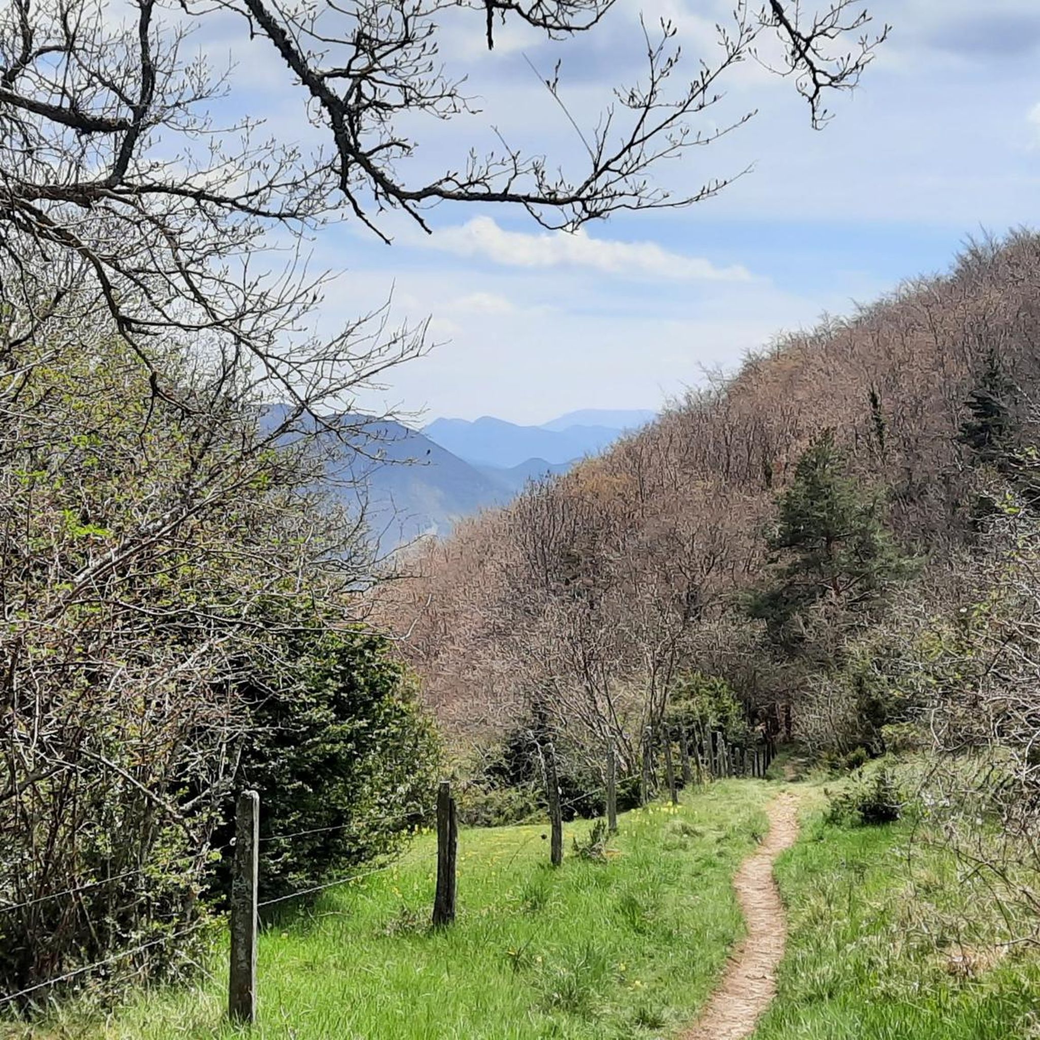
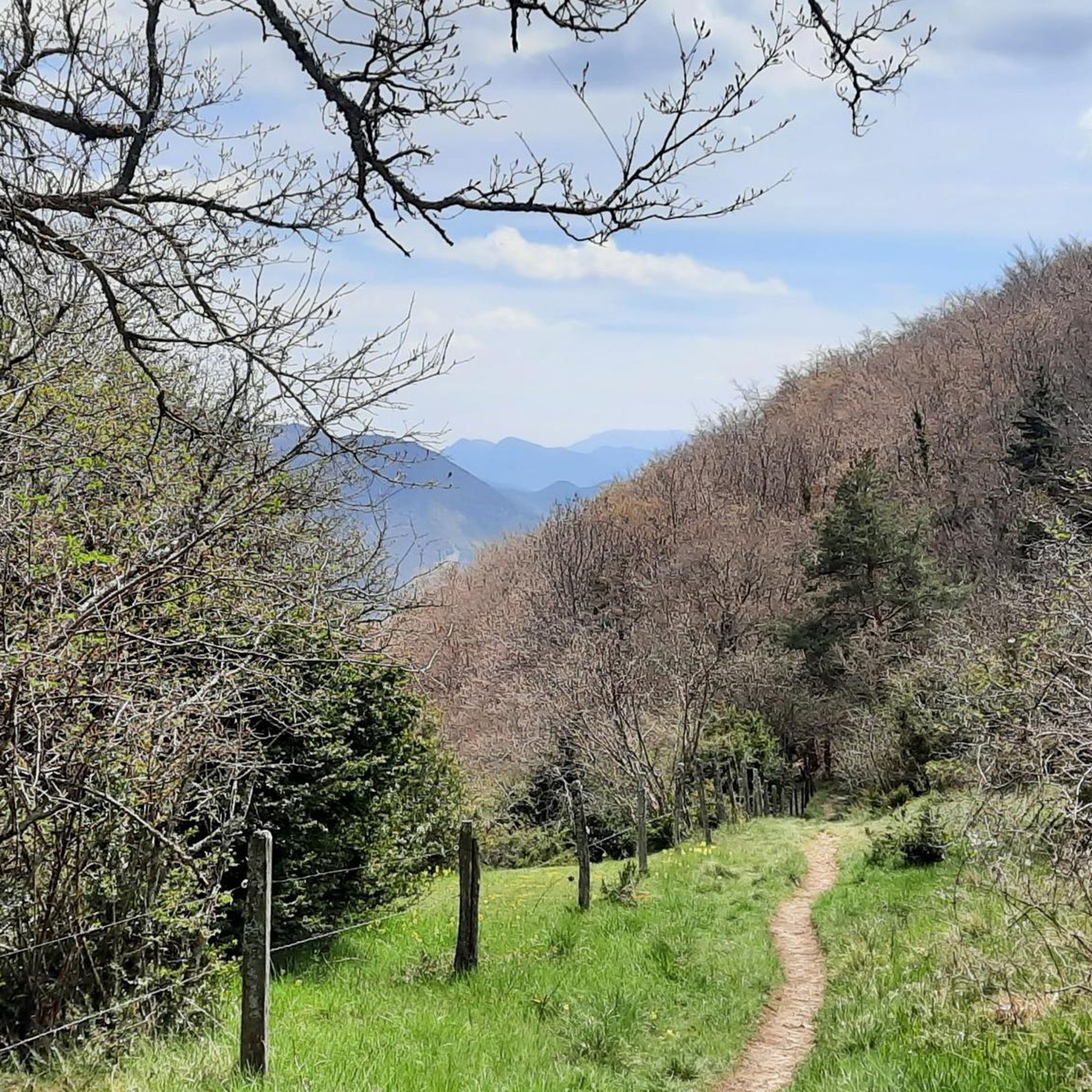
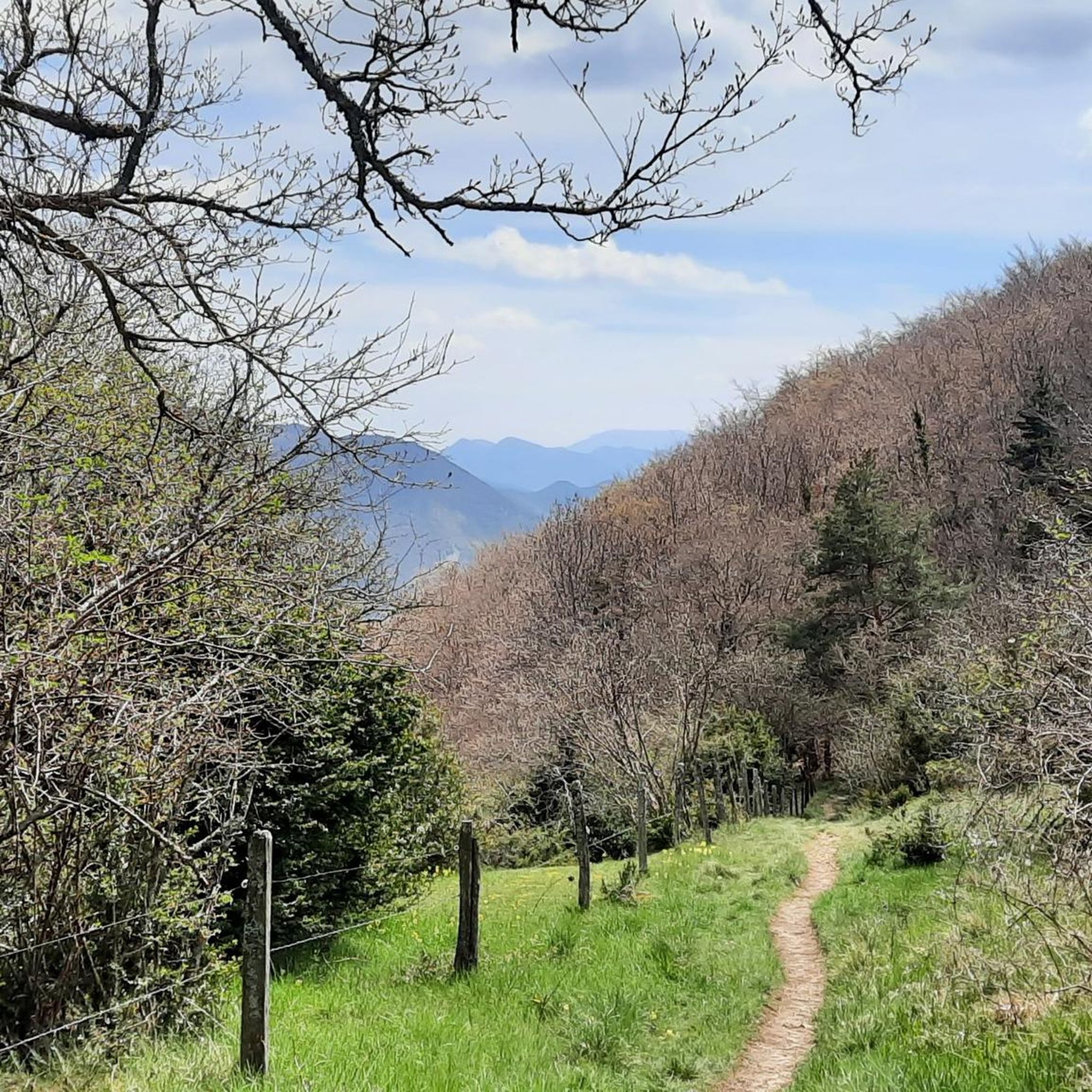

Tips from the Community


Small steep path leading to a castle ruin destroyed in 1500
0
0

Battle of the Winds or Battle of Des Moines? It's up to you
0
0

This pass can be reached in no less than 5 ways. For touring cyclists, the route via Beaufort-sur-Gervanne is recommended, because it is the most constant and gradual.
0
0

One of the most breathtaking viewpoints in the Vercors: Le Col de la Bataille. The panoramic views from the top are absolutely unforgettable.
0
0

Col de la Bataille is a climb in the Drôme region. It has a length of 12.8 kilometers and a climb of 381 vertical meters with a slope of 3% on average, which implies a difficulty level of 253. The top of the climb is located at 1,302 meters above sea level.
1
0

Billiards to the Col de la Bataille from Léoncel
0
0

This step marks the entrance to the Vercors regional natural park. From up there it is possible to observe the plain to the west with the Ardèche mountains on the horizon. Below, a rocky area denotes with all the climb that it is forest. Early enough, it is possible to come across deer.
0
0
Frequently Asked Questions
How many running trails are available around Le Chaffal?
Le Chaffal, situated within the Regional Natural Park of Vercors, offers a wide selection of running routes. There are over 125 jogging routes in the area, catering to various preferences and fitness levels.
What is the general difficulty level of running routes in Le Chaffal?
The running routes in Le Chaffal are predominantly challenging, reflecting the mountainous terrain of the Vercors. You'll find 91 difficult routes, 28 moderate, and 6 easier options, ensuring there's something for every runner, from those seeking a strenuous workout to those preferring a gentler pace.
Are there easy jogging routes for beginners in Le Chaffal?
While many routes in Le Chaffal are challenging due to the mountainous terrain, there are 6 easier jogging routes available. These paths offer a great way to experience the beautiful landscapes of the Vercors without significant elevation changes, perfect for beginners or those looking for a more relaxed run.
What kind of terrain can I expect on the running trails in Le Chaffal?
Jogging in Le Chaffal means traversing diverse terrain. You'll encounter significant elevation changes, from 674m to 1360m, offering varied challenges. Routes often lead through charming beech forests, and you can expect panoramic vistas of the surrounding valleys and ridges. Unique natural features like the Omblèze Gorges and the Gueulards Canyon also characterize the running experience.
Can I find routes with panoramic views in Le Chaffal?
Absolutely. The area is renowned for its spectacular panoramic views. Trails leading to summits like Bec Pointu and Roc de Toulau reward runners with 360° perspectives of the surrounding landscape, including the dramatic Gorges d'Omblèze and the expansive Vercors ridges. On clear days, even distant landmarks such as Mont Ventoux can be visible, providing inspiring backdrops for your run.
Are there any waterfalls or unique natural features to see while jogging?
Yes, you can discover stunning natural features. The Druise Waterfall is a notable attraction. Additionally, the unique Gueulards Canyon offers a memorable and visually striking experience with its narrow cliffs and rocky outcrops, making for an adventurous run.
Are there any historical landmarks or points of interest along the running paths?
Yes, the region offers several points of interest. You might encounter the Château de Pellafol Ruins, adding a touch of history to your run. The Hameau de la Vacherie also serves as a central point and a likely starting or ending point for many trails, providing a sense of local culture.
Are there circular running paths available in Le Chaffal?
Many of the running routes in Le Chaffal are designed as loops, allowing you to start and finish at the same point. For example, the challenging Col de la Bataille loop from Le Chaffal is a popular circular option, covering nearly 20 km through mountainous terrain.
What do other runners enjoy the most about jogging in Le Chaffal?
The running routes in Le Chaffal are highly rated by the komoot community, with an average score of 4.4 stars from over 30 reviews. Reviewers often praise the diverse terrain, the challenging ascents, and the breathtaking panoramic views that make each run a rewarding experience.
Is parking available near the running trailheads in Le Chaffal?
While specific parking details for every trailhead are not provided, the Hameau de la Vacherie is a central point and a common starting location for many trails, suggesting parking facilities are likely available there or in other key hamlets within the Vercors Regional Natural Park.
Are the running trails in Le Chaffal dog-friendly?
Le Chaffal is located within the Regional Natural Park of Vercors. Generally, national parks have specific regulations regarding dogs, often requiring them to be on a leash to protect wildlife. It's advisable to check the specific rules of the Vercors Regional Natural Park before heading out with your dog.
What is the best time of year for running in Le Chaffal?
The mountainous character of Le Chaffal means that spring, summer, and early autumn generally offer the most favorable conditions for running. During these seasons, you can enjoy milder temperatures and clearer paths. Winter can bring snow and ice, making some trails more challenging or inaccessible.
Most popular attractions around Le Chaffal

Get inspired with the komoot mobile app


Explore more
Browse the best Running Trails & Routes in other regions.
