The best road cycling routes around Attignat-Oncin
4.6
(373)
8,400
riders
130
rides
Road cycling around Attignat-Oncin, nestled within the Chartreuse Regional Natural Park, offers a diverse landscape characterized by significant elevation changes and varied terrain. The region features challenging mountain passes like the Col de l'Épine and Mont Grêle, alongside extensive forest domains and open meadows. Proximity to Lake Aiguebelette adds to the scenic diversity, providing routes that combine demanding climbs with picturesque lakeside sections.
Best road cycling routes in Attignat-Oncin
- The most popular road cycling route is Col de l'Épine viewpoint…
Last updated: October 18, 2026
4.2
(11)
299
riders
69.6km
03:45
1,340m
1,340m
Hard road ride. Very good fitness required. Some segments of this route may be unpaved and difficult to ride.
5.0
(5)
176
riders
84.0km
05:02
2,050m
2,050m
Hard road ride. Very good fitness required. Some segments of this route may be unpaved and difficult to ride.

4.7
(9)
156
riders
Moderate road ride. Good fitness required. Some segments of this route may be unpaved and difficult to ride.
5.0
(5)
191
riders
73.4km
04:17
1,660m
1,660m
Hard road ride. Very good fitness required. Some segments of this route may be unpaved and difficult to ride.
5.0
(3)
151
riders
77.5km
04:22
1,560m
1,560m
Hard road ride. Very good fitness required. Some segments of this route may be unpaved and difficult to ride.
Get access to more routes and recommendations from other explorers.
Already have an account?
Our route recommendations are based on thousands of hikes, rides, and runs completed by other people on komoot.
Start today with a free account
Your next adventure awaits.

Tips from the Community

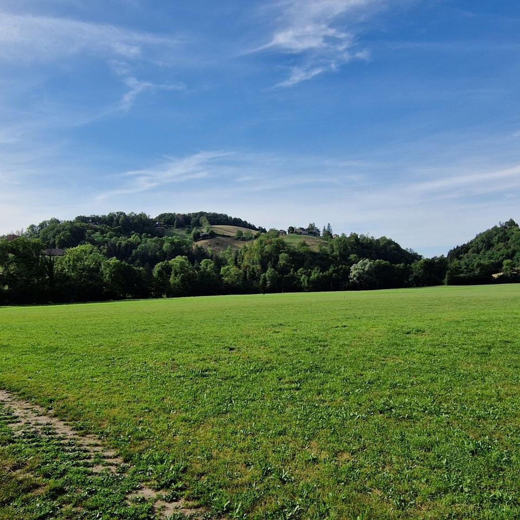
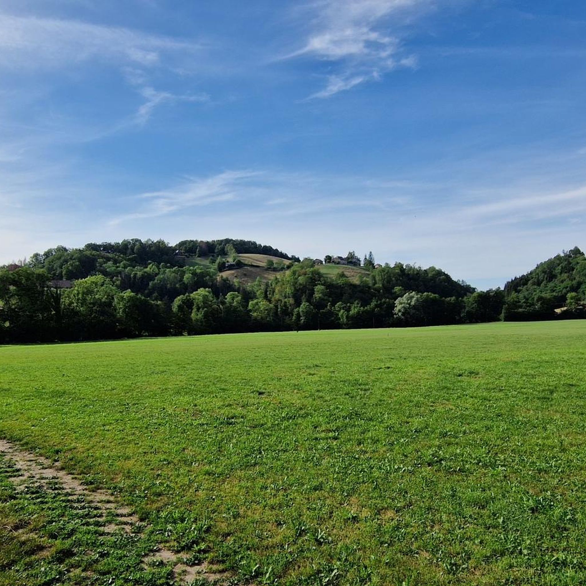
This is a spot highly appreciated by local cyclists for its tranquility, its little-used roads, and its shaded forest paths. Several slopes allow access to it
0
0

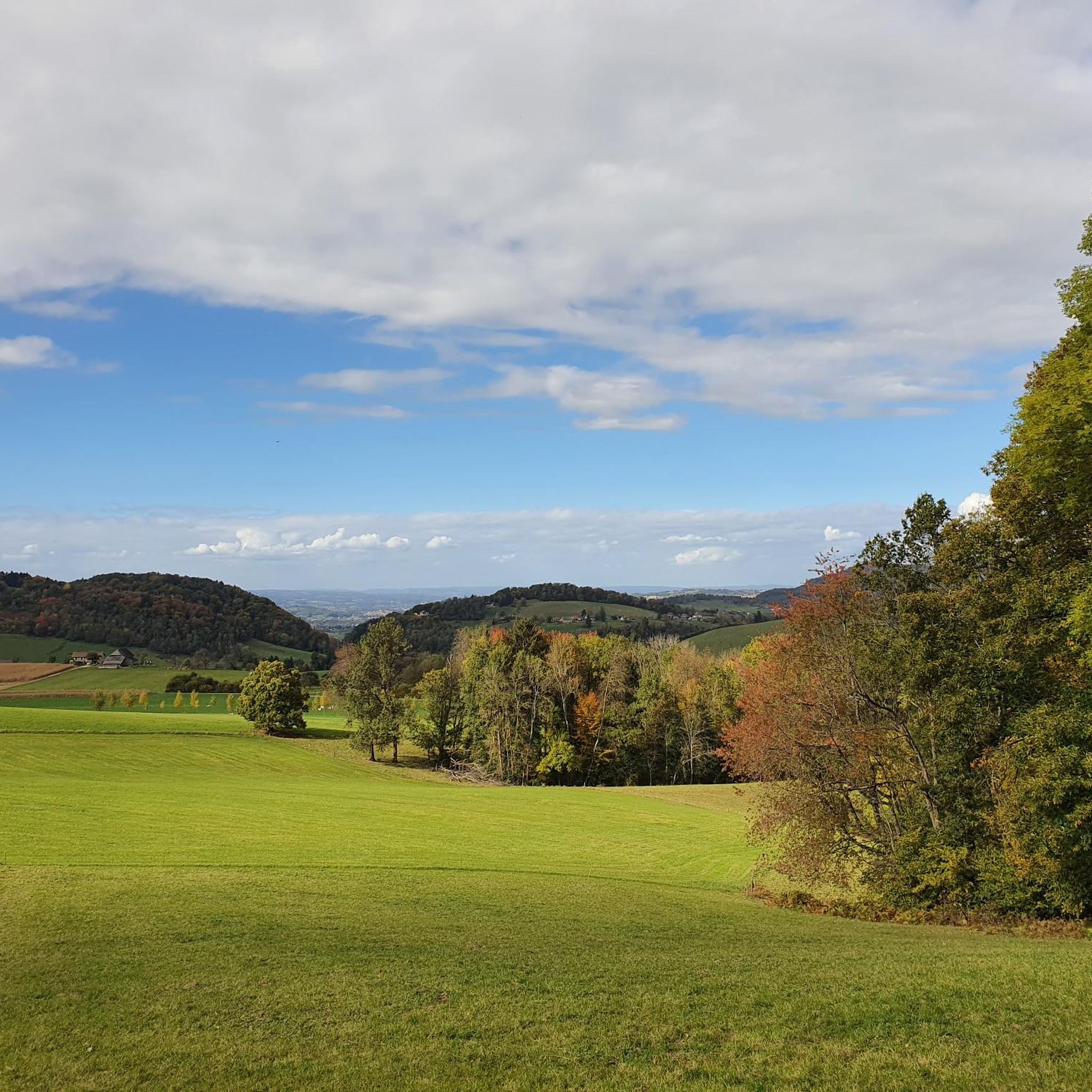
Proper climb from Chambery, beautiful views of the Chartreuse.
0
0
Divided village, Savoie and Isère, as well as churches and restaurants.
2
0
Small street, beautiful views.
2
0
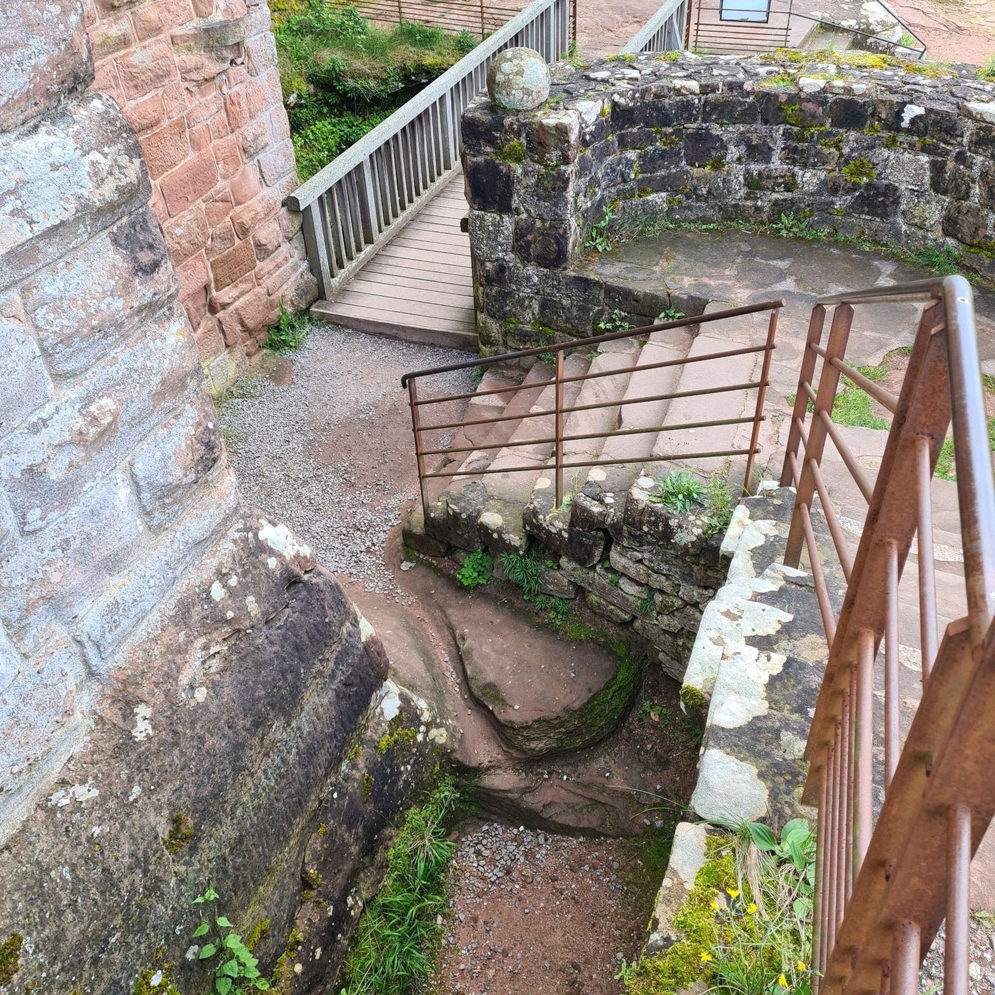
Castle of the Templars, currently under renovation.
2
0
Unfortunately, the D1006 is heavily trafficked, but luckily mostly with a bike lane uphill. No major climbs, but it drags on.
2
0

I love this village. It's an ideal starting point for a hike to the Cirque de Saint-Même.
0
0
Frequently Asked Questions
What kind of terrain can I expect when road cycling around Attignat-Oncin?
Road cycling in Attignat-Oncin, situated within the Chartreuse Regional Natural Park, is characterized by significant elevation changes and varied terrain. You'll encounter challenging mountain passes like the Col de l'Épine and Mont Grêle, alongside extensive forest domains and open meadows. The proximity to Lake Aiguebelette also offers scenic lakeside sections, providing a diverse mix of demanding climbs and picturesque routes.
Are there road cycling routes suitable for beginners or less experienced cyclists?
While many routes in Attignat-Oncin feature challenging climbs, there are options for various ability levels. The region offers 13 easy and 66 moderate routes, which are generally more suitable for beginners or those looking for a less strenuous ride. These routes still allow you to enjoy the beautiful landscapes without the intense elevation gains of the more difficult passes.
What are some of the most challenging climbs for road cyclists in the area?
For experienced road cyclists seeking a challenge, the ascents of Mont Grêle and the Col de l'Épine are particularly notable. The Col de l'Épine, for instance, features consistent gradients of around 7-8% on the Chambéry side and steeper sections of 8-9% on the Novalaise side. Routes like the Col de l'Épine viewpoint – Col du Chat loop offer significant elevation gains, making them ideal for those looking to test their limits.
What natural features or landmarks can I see while cycling in Attignat-Oncin?
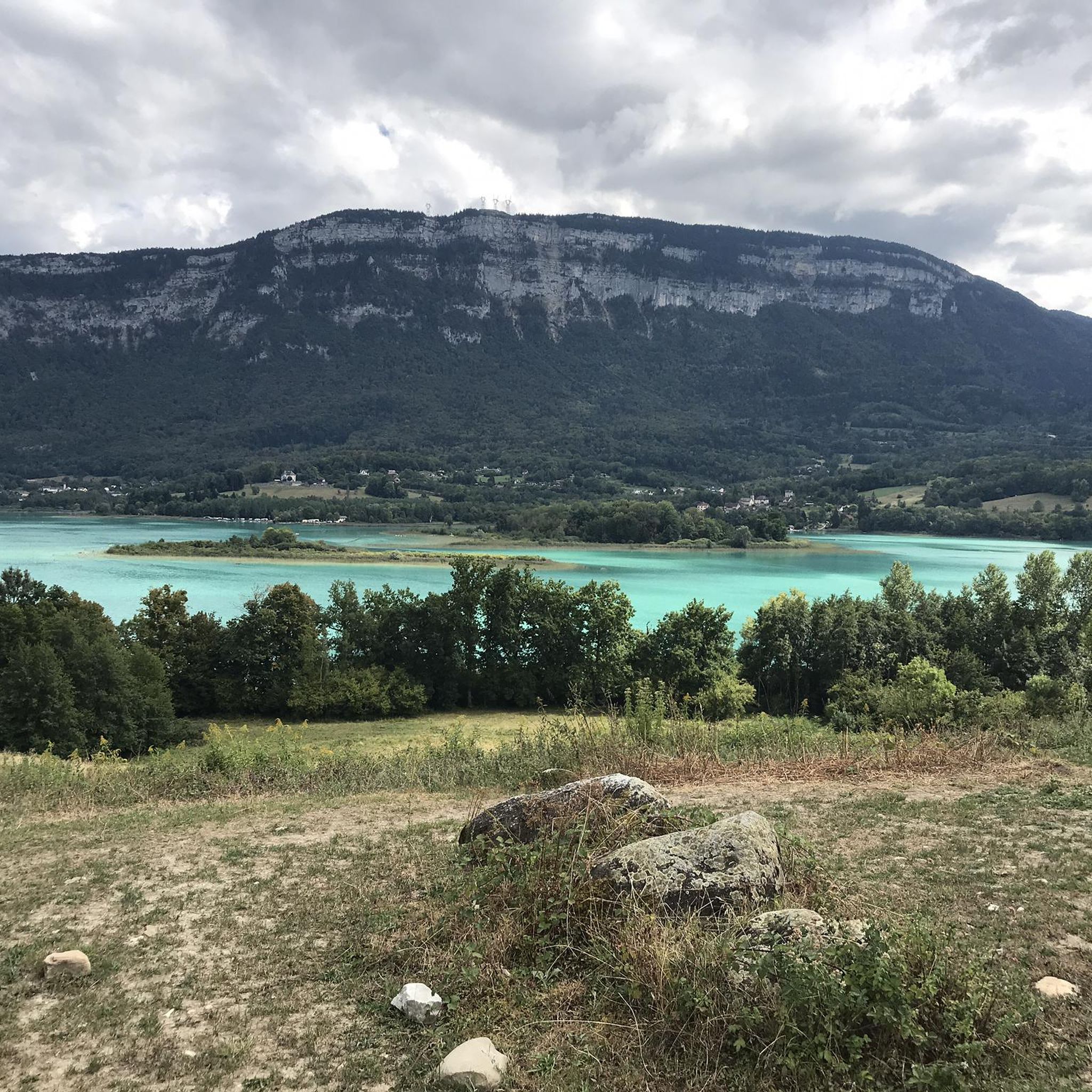
The region is rich in natural beauty. You can enjoy panoramic views of Lake Aiguebelette, Lake Bourget, and the Bauges massif from passes like the Col de l'Épine. The area also features the dramatic landscapes of the Chartreuse Regional Natural Park. Specific highlights include the Épine Pass and the Mont Grêle Viewpoint, offering stunning vistas. You might also encounter natural wonders like the Waterfalls on the Nant du Pontet or the François I's Cave.
When is the best time of year for road cycling in Attignat-Oncin?
Given the mountainous terrain, the best time for road cycling in Attignat-Oncin is typically from late spring through early autumn (May to October). During these months, the weather is generally more stable, and mountain passes are clear of snow, offering optimal conditions for challenging climbs and scenic rides. Always check local weather forecasts before heading out.
Are there any circular road cycling routes available?
Yes, many of the road cycling routes around Attignat-Oncin are designed as loops, allowing you to start and finish in the same location. Examples include the Col du Mont Tournier – Crusille Pass loop and the Lac d'Aiguebelette loop. These circular routes provide a convenient way to explore the diverse landscapes of the region.
What do other road cyclists enjoy the most about road cycling in Attignat-Oncin?
The area is highly rated by the komoot community, with an average score of 4.6 stars from over 300 reviews. Road cyclists often praise the challenging mountain passes, the stunning panoramic views from various viewpoints, and the diverse terrain that combines demanding climbs with picturesque lakeside sections. The preserved natural environment of the Chartreuse Regional Natural Park is also a frequently mentioned highlight.
Can I find routes that pass by Lake Aiguebelette?
Absolutely. Attignat-Oncin's proximity to Lake Aiguebelette means several road cycling routes incorporate its scenic shores. The Lac d'Aiguebelette – Refill your bidon here! ☝ loop is a popular choice, offering a 33.4-mile (53.7 km) ride through the beautiful area around the lake, perfect for combining cycling with stunning water views.
Are there any specific points of interest or viewpoints along the Col de l'Épine?
The Col de l'Épine is renowned for its breathtaking views. As you ascend, you'll be treated to expansive vistas of Chambéry, the southern part of Lake Bourget, and the Bauges massif to the west. From the eastern slope, there's a superb panoramic view of Lake Aiguebelette. The Épine Pass itself is a significant highlight for cyclists.
Is Attignat-Oncin suitable for road cycling with children or families?
While road cycling in Attignat-Oncin often involves significant climbs and can be challenging, there are 13 easy routes that might be more suitable for families or those cycling with children. These routes typically have less elevation gain and are shorter in distance. However, it's important to remember that road cycling, especially in mountainous regions, requires a certain level of fitness and road awareness. Always assess the route's difficulty and traffic conditions before setting out with children.
Where can I find parking for road cycling tours in Attignat-Oncin?
While specific parking areas are not detailed, you can typically find parking in the commune of Attignat-Oncin itself or in nearby towns like Lépin le Lac - La Bauche, which is a common starting point for many routes. Look for public parking lots, especially near tourist information centers or trailheads. Always ensure you park legally and safely.
Can I combine road cycling with other outdoor activities in the region?
Absolutely! Attignat-Oncin and its surroundings offer a wide array of outdoor activities. After a ride, you could explore the Grenand canyon, known for canyoning and hiking along its gorges and waterfalls. Lake Aiguebelette also provides opportunities for water sports like swimming, canoeing, and pedal boating. The Chartreuse Regional Natural Park is crisscrossed with hiking trails, including the GR9 long-distance footpath.
Most popular routes around Attignat-Oncin
Most popular attractions around Attignat-Oncin

Get inspired with the komoot mobile app


Explore more
Browse the best Road cycling routes in other regions.
