The best running trails around Saint-Andéol
4.5
(35)
955
runners
89
runs
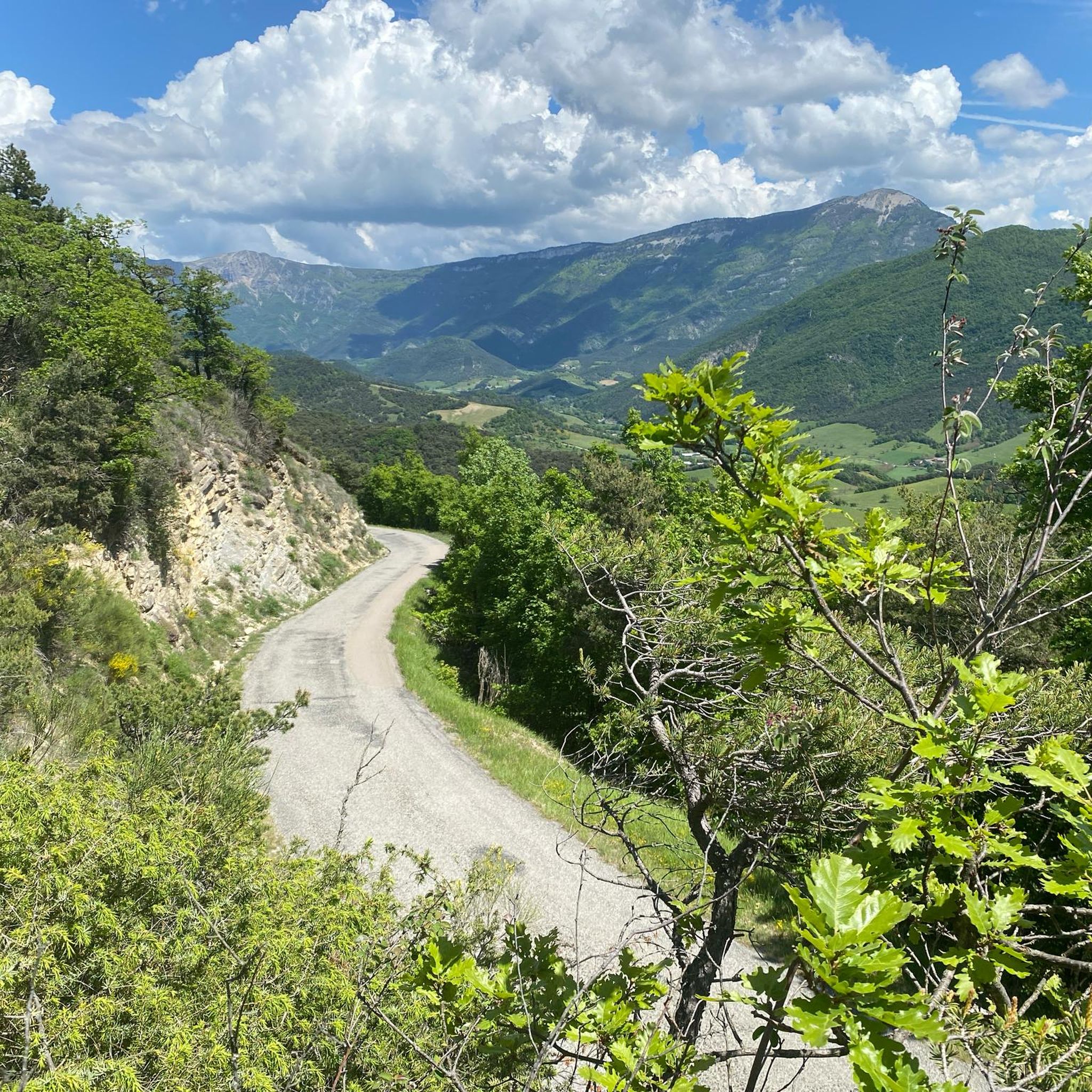
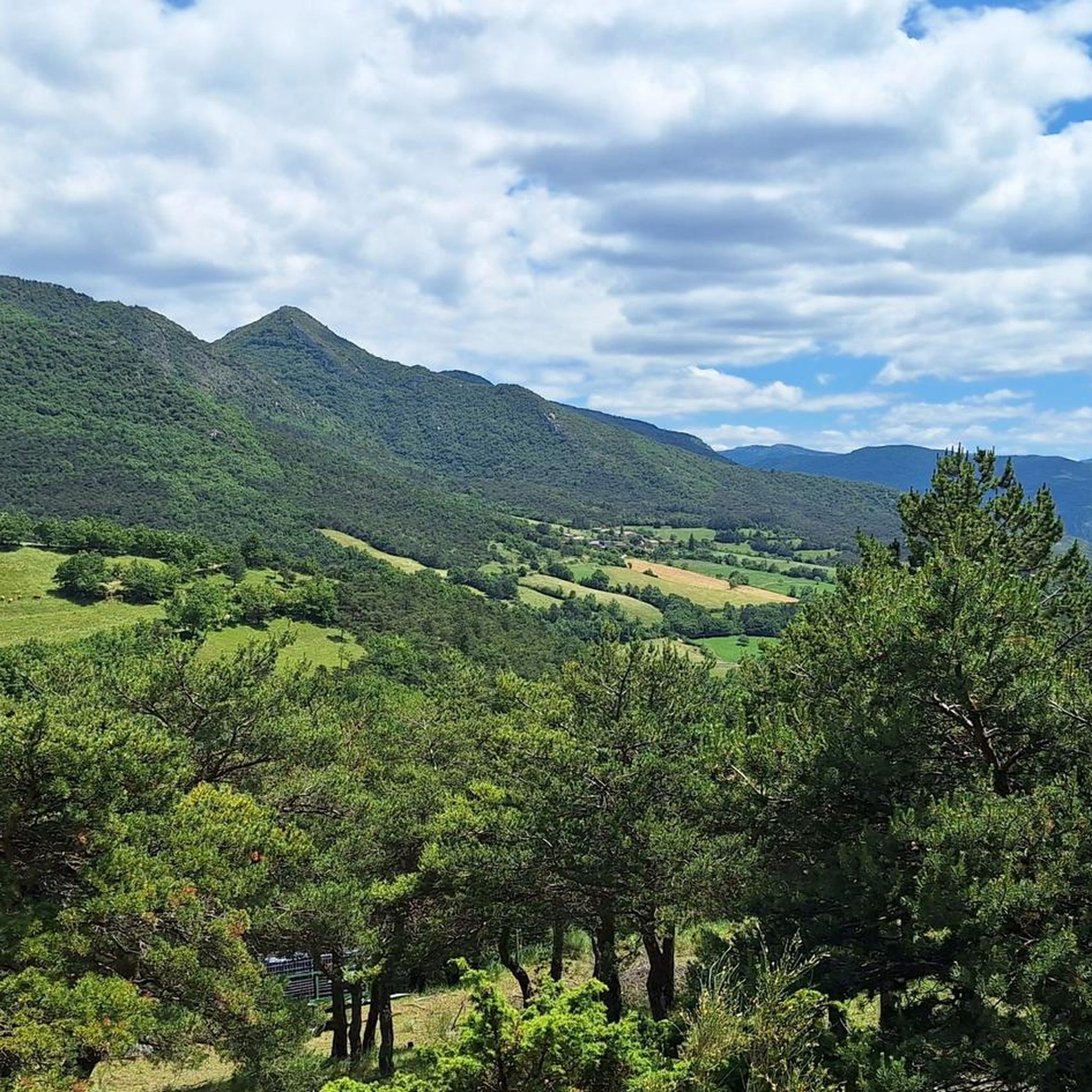
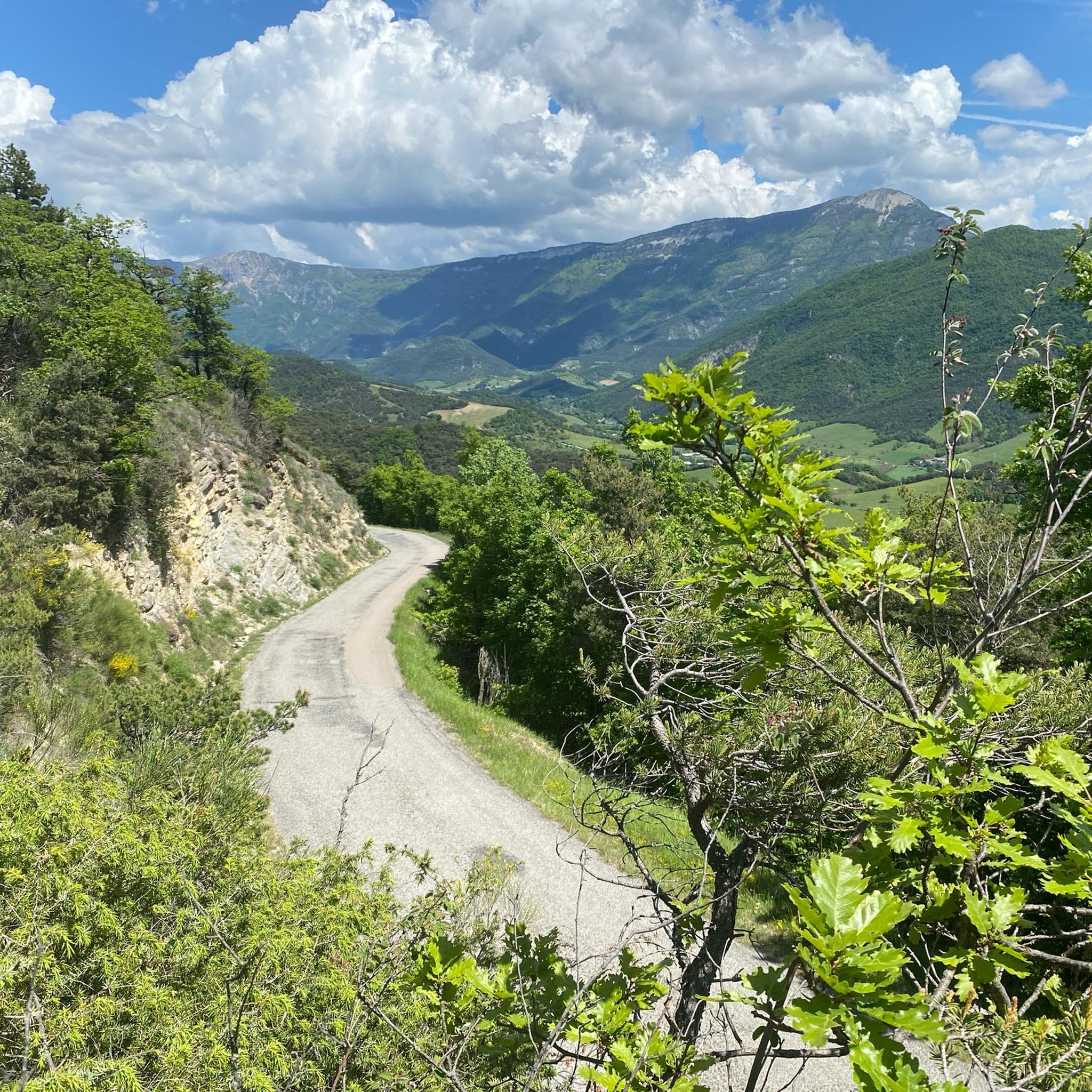
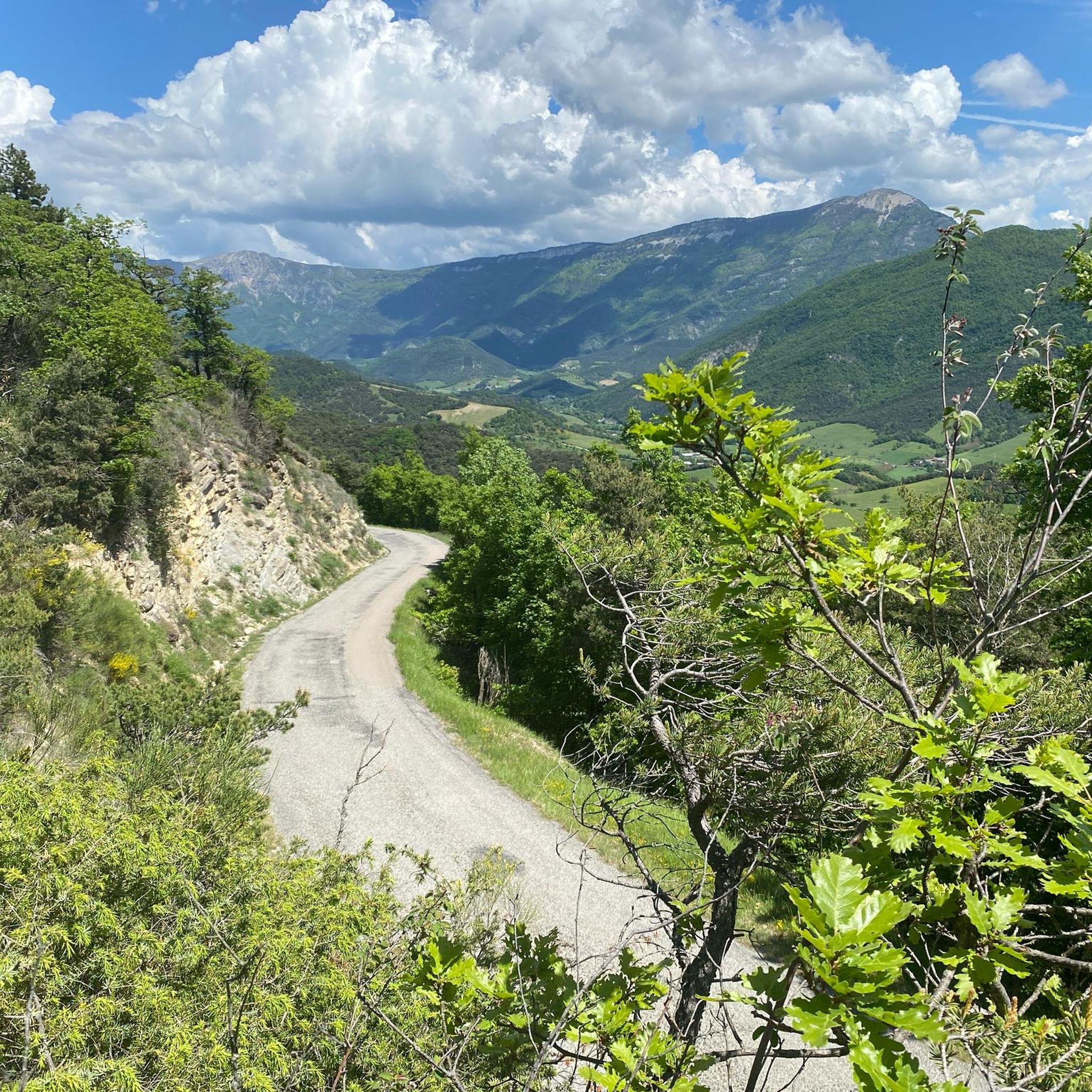
Jogging routes around Saint-Andéol traverse a diverse landscape, from the wild alluvial gorges and rocky terrain of the Monts d'Ardèche Regional Nature Park to the serene surroundings of Lac de Saint-Andéol. The region features varying altitudes, including hills under 200 meters and valleys, offering dynamic environments for running. Runners can explore terraced landscapes, ancient chestnut groves, and wooded areas, with paths often incorporating historical landmarks.
Best jogging routes around Saint-Andéol
- The most popular jogging route is Aiglette Peak – View…
Last updated: July 1, 2026
14
runners
13.4km
02:22
960m
960m
Hard run. Very good fitness required. Sure-footedness, sturdy shoes and alpine experience required.
8
runners
6.74km
00:56
320m
320m
Hard run. Very good fitness required. Mostly accessible paths. Some sure footedness required.

Sign up for free
6
runners
7.30km
00:52
140m
140m
Moderate run. Good fitness required. Mostly paved surfaces. Suitable for all skill levels.
6
runners
13.1km
02:38
990m
990m
Hard run. Very good fitness required. Sure-footedness, sturdy shoes and alpine experience required.
5.0
(1)
3
runners
7.12km
00:54
210m
210m
Moderate run. Good fitness required. Mostly paved surfaces. Suitable for all skill levels.
Get access to more routes and recommendations from other explorers.
Sign up for free
Already have an account?
Our route recommendations are based on thousands of hikes, rides, and runs completed by other people on komoot.
Start today with a free account
Your next adventure awaits.
Login or Signup

Tips from the Community

Tough climb with a reward at the end
0
0

hike on a route of the Huguenot Refuge Trail - beautiful landscapes
0
0

This charming little cabin offers shelter for the night although it does not have a dedicated sleeping area, it is possible to sleep on it alone as well as make a fire.
1
0
Located at the gateway to the Quint valley, this small village overlooks the Drôme river and its tributary, the Sûre. Nestled in a peaceful and pleasant setting, the town is home to the ruins of the medieval castle of Tours de Quint and the ancient monastery of the Antonines.
0
0

An exceptional peak! The path coming from the south is rather complicated if you are not sure-footed.
0
0

Visited in winter (February 2023). The cabin is apparently currently being renovated. Be careful, the chimney pipe backs up inside the cabin, we slept with the door open!
1
0

Located at 1,506 meters above sea level, the summit of the Tête de la Dame, the highest point of the Ambel plateau, offers a breathtaking view of the Diois, the Vercors massif and the Drôme valley. The difference in height is quite low and therefore this point of interest is within the reach of hikers and hikers of all levels.
3
0

Summit at 1506m on the Ambel plateau. A cross and a small bench are there.
4
0
Frequently Asked Questions
How many running routes are available in the Saint-Andéol region?
The Saint-Andéol region offers a wide selection of running routes, with over 80 trails available for you to explore. These routes cater to various fitness levels, from moderate to challenging.
What kind of terrain can I expect on jogging routes around Saint-Andéol?
Jogging routes in Saint-Andéol traverse a diverse landscape. You can expect wild alluvial gorges, rocky terrain, and chestnut-covered ridges within the Monts d'Ardèche Regional Nature Park. Other areas feature serene glacial lake surroundings, terraced landscapes, and wooded paths, often with significant elevation changes offering panoramic views.
Are there running routes suitable for beginners or those looking for an easy jog?
Yes, while many routes are challenging, there are approximately 8 easy running routes available in Saint-Andéol. These trails are generally less demanding, perfect for a gentle jog or for those new to running in the area.
What are some challenging running trails for experienced runners in Saint-Andéol?
For experienced runners seeking a challenge, Saint-Andéol offers around 50 difficult routes. One such demanding trail is the Col de Ponet et Marignac – Courdeau summit loop from Marignac-en-Diois, which covers 6.7 km with significant elevation gain, providing a rigorous workout and rewarding views.
Can I find circular running routes in Saint-Andéol?
Yes, many of the running routes in Saint-Andéol are designed as circular loops, allowing you to start and finish at the same point. An example is the Running loop from Marignac-en-Diois, a moderate 7.3 km trail that takes you through the local landscape.
Are there any scenic landmarks or natural attractions to see along the jogging routes?
Absolutely! The region is rich in natural beauty and historical sites. You might encounter the unique flora of the peat bog areas around Lac de Saint-Andéol, or explore trails near the Monts d'Ardèche Regional Nature Park. Notable attractions in the wider area include the stunning Druise Waterfall and the historic town of Die.
Is Saint-Andéol a good place for family-friendly jogging?
The diverse landscape of Saint-Andéol includes trails suitable for various abilities. While many routes are challenging, there are easier paths that families can enjoy together. Look for routes with less elevation gain and shorter distances for a more family-friendly experience.
Are dogs allowed on the running trails in Saint-Andéol?
Generally, dogs are welcome on many outdoor trails in the Saint-Andéol region, especially within natural parks and rural areas. However, it's always advisable to keep them on a leash, especially in protected areas or near livestock, and to check specific regulations for individual trails or nature reserves.
What do other runners enjoy most about jogging in Saint-Andéol?
The running routes in Saint-Andéol are highly rated by the komoot community, with an average score of 4.5 stars from over 30 reviews. Runners often praise the varied terrain, the breathtaking panoramic views from elevated points, and the opportunity to combine physical activity with exploring the region's natural beauty and historical sites.
Are there any specific regions named Saint-Andéol that are particularly good for running?
The name Saint-Andéol refers to several locations in France, each offering unique running experiences. For instance, Saint-Andéol-De-Vals is known for its diverse landscapes within the Monts d'Ardèche Regional Nature Park, while Lac de Saint-Andéol (near Marchastel) provides serene lakeside routes. Saint-Andéol in Drôme offers trails through hills and valleys with panoramic views.
What is the best time of year to go running in Saint-Andéol?
The Saint-Andéol region is enjoyable for running throughout much of the year. Spring and autumn offer pleasant temperatures and vibrant scenery. Summer can be warm, so early morning or late afternoon runs are recommended. Winter running is possible, especially on lower-altitude trails, but higher elevations may experience snow or colder conditions.
Are there options for long-distance running in Saint-Andéol?
Yes, for those looking for longer distances, Saint-Andéol provides several extensive routes. An example is the View from Col de Vassieux – But Saint-Genix loop from Marignac-en-Diois, a challenging 21.1 km trail that offers a significant endurance test through varied terrain.
Most popular routes around Saint-Andéol
Most popular attractions around Saint-Andéol

Get inspired with the komoot mobile app


Explore more
Browse the best Running Trails & Routes in other regions.
