The best walks and hikes around Gerbaix
4.4
(1492)
11,459
hikers
192
hikes
Hiking around Gerbaix offers access to diverse landscapes within the Savoie region of France. The area features prominent mountainous terrain, including Mont Tournier and Montagne du Banchet, alongside serene lakeside environments such as Lac d'Aiguebelette and Lac du Bourget. Dense forests and well-maintained trail networks are found within proximity to the Chartreuse and Massif des Bauges Regional Natural Parks, providing varied ground for exploration. This mix of features ensures a range of hiking experiences from challenging ascents to tranquil walks.
…Last updated: October 14, 2026
4.6
(13)
73
hikers
11.4km
03:21
330m
320m
Moderate hike. Good fitness required. Easily-accessible paths. Suitable for all skill levels.
4.2
(10)
143
hikers
8.99km
02:40
270m
270m
Moderate hike. Good fitness required. Mostly accessible paths. Sure-footedness required.

5.0
(3)
18
hikers
6.79km
01:57
170m
160m
Easy hike. Great for any fitness level. Easily-accessible paths. Suitable for all skill levels.
4.5
(2)
10
hikers
5.83km
01:40
130m
130m
Easy hike. Great for any fitness level. Easily-accessible paths. Suitable for all skill levels.
4.0
(1)
9
hikers
Moderate hike. Good fitness required. Easily-accessible paths. Suitable for all skill levels.
Get access to more routes and recommendations from other explorers.
Already have an account?
Our route recommendations are based on thousands of hikes, rides, and runs completed by other people on komoot.
Start today with a free account
Your next adventure awaits.
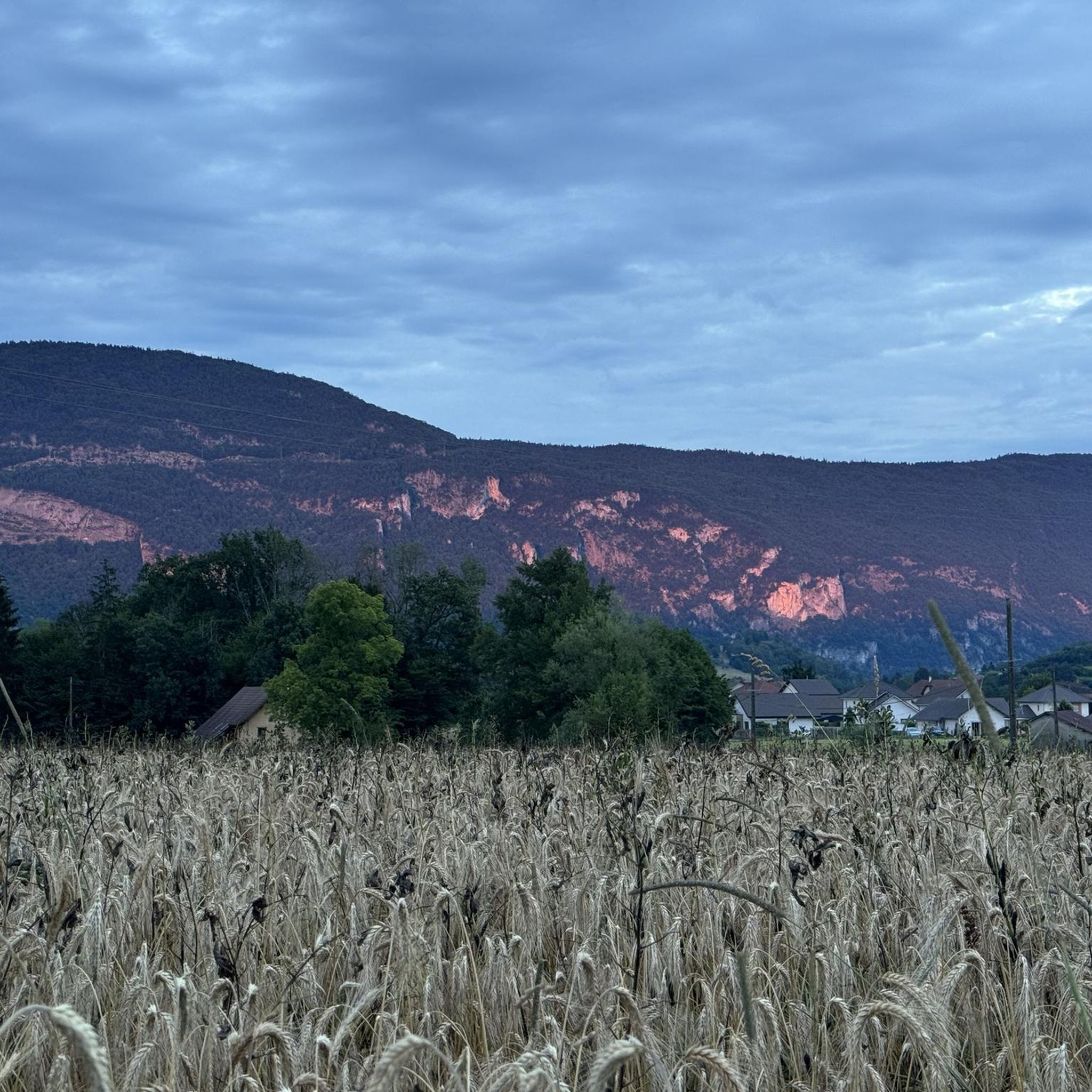
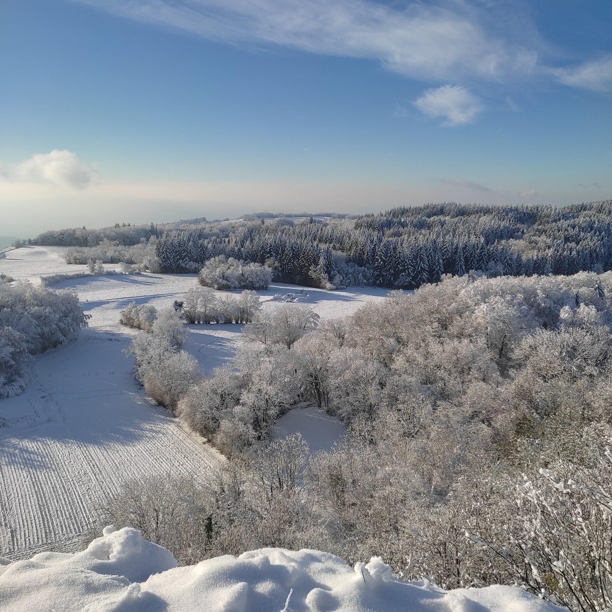
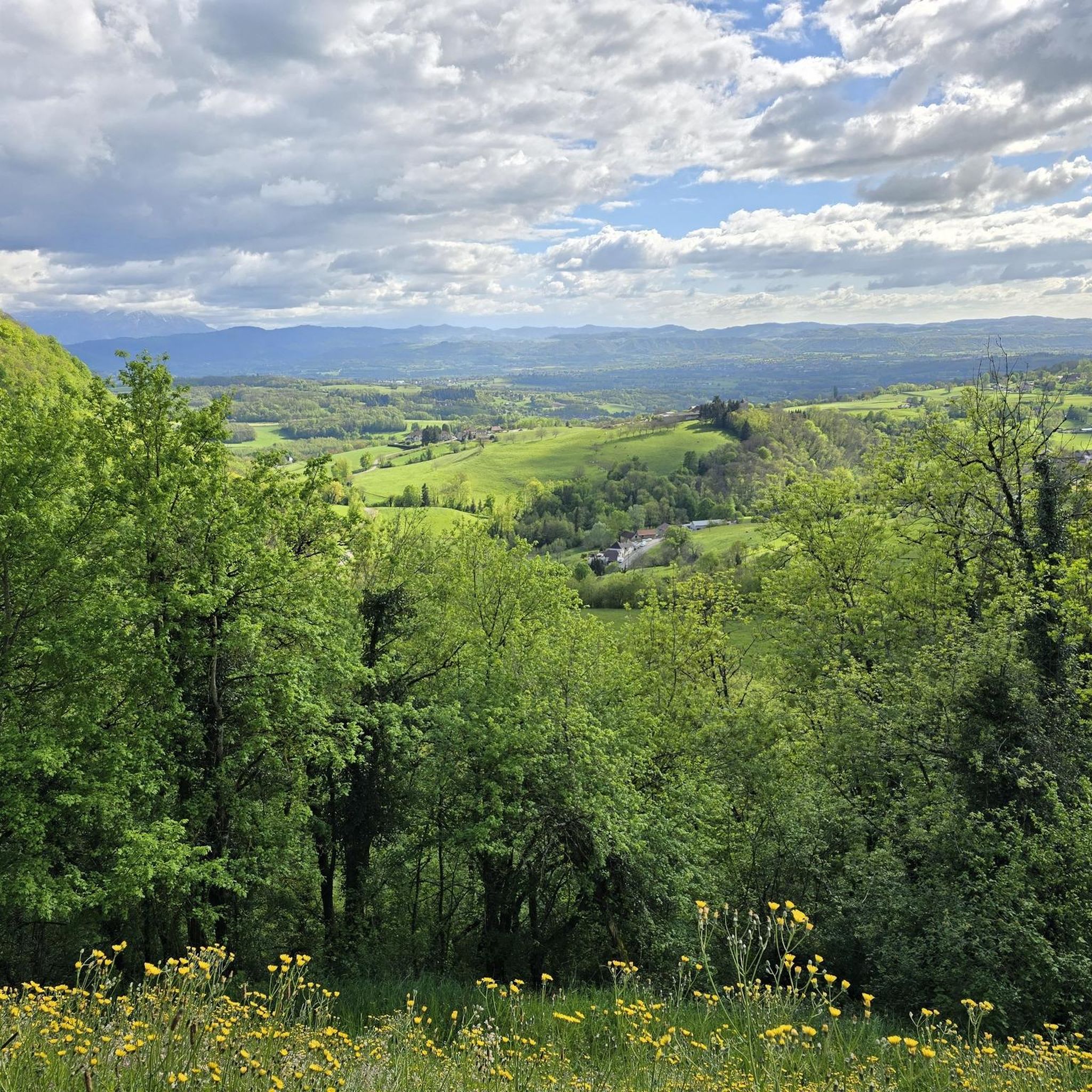
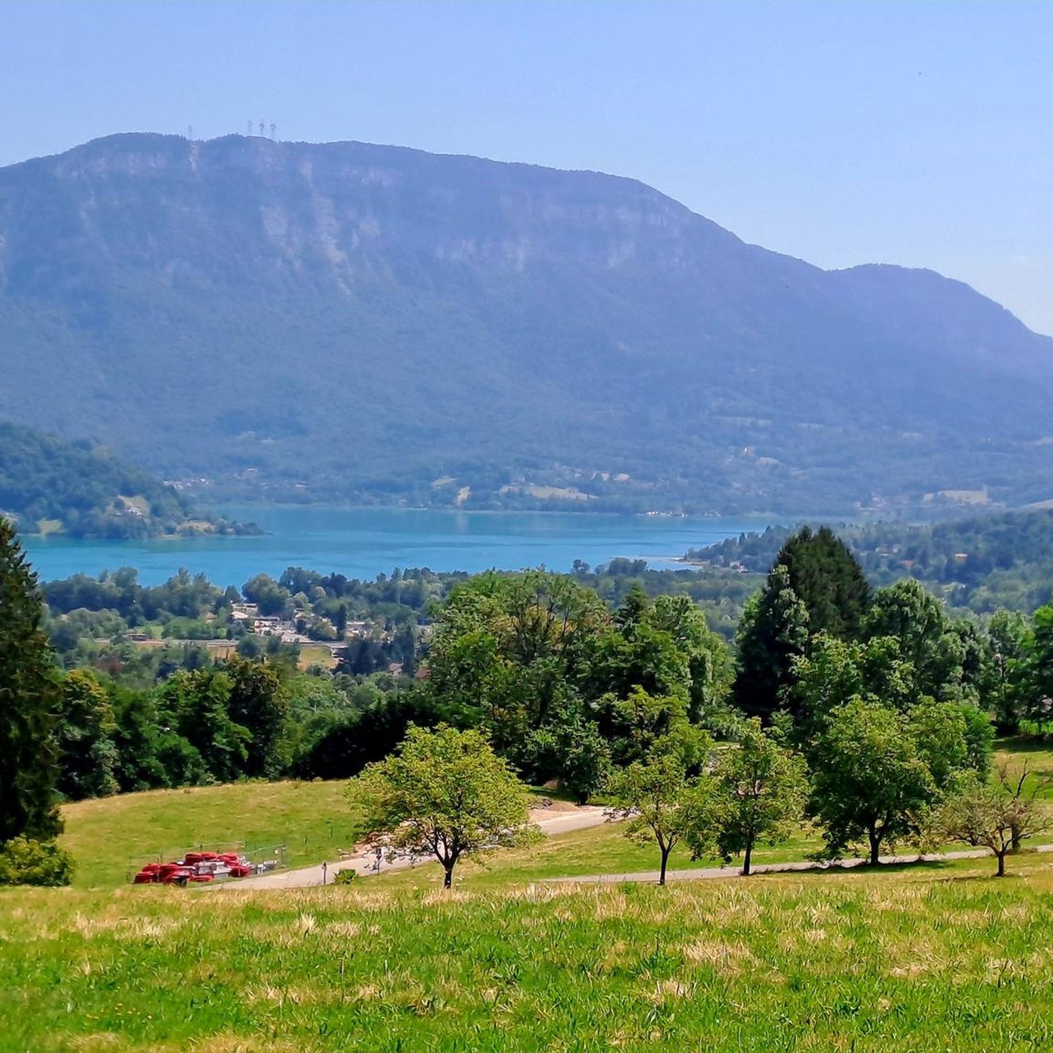

Tips from the Community

Col de la Lattaz is a mountain pass located at an altitude of 754 meters in the Savoie department, in the heart of the Avant-Pays savoyard. Although it is administratively located in Savoie, it geologically belongs to the Jura Massif. It is a popular spot for cyclists and hikers for its rural landscapes and its numerous access variants.
0
0
This is a spot highly appreciated by local cyclists for its tranquility, its little-used roads, and its shaded forest paths. Several slopes allow access to it
0
0
The commune of Champagneux, nestled in the Avant-Pays savoyard, is surrounded by magnificent viewpoints over the Rhône valley and the Mont Tournier chain. Belvédère du Recorba (Rocher des Corbeaux) Belvédère du Site des Fils Le Belvédère de Crozet
0
0

Dizzying belvedere from the top of Mont Tournier, view of the Grand Thur, the Grand Colombier and of course the Rhône.
1
0


Pass located at an altitude of 573 m, to be climbed from Saint-Genix-sur-Guiers or Novalaise.
1
0
Frequently Asked Questions
How many hiking trails are available around Gerbaix?
Gerbaix offers a wide selection of hiking routes, with nearly 200 trails available. These routes cater to various preferences, from easy strolls to more challenging ascents, ensuring there's something for every hiker.
Are there hiking trails for all skill levels in Gerbaix?
Yes, the area around Gerbaix provides a diverse network of trails suitable for all abilities. You can find over 60 easy routes, nearly 100 moderate trails, and close to 30 more difficult options, ensuring a suitable hike regardless of your experience level.
Can I find circular hiking routes near Gerbaix?
Yes, many of the trails around Gerbaix are designed as loops, allowing you to start and end at the same point. For example, the Sons' Lookout – Mount Tournier loop from Saint-Maurice-de-Rotherens is a popular moderate circular route offering panoramic views.
What kind of natural features can I expect to see on hikes around Gerbaix?
Hiking around Gerbaix offers a rich variety of natural beauty. You can explore prominent mountainous terrain like Mont Tournier and Montagne du Banchet, serene lakeside environments such as Lac d'Aiguebelette, and dense forests within the Chartreuse and Massif des Bauges Regional Natural Parks. The region also features impressive waterfalls like the Glandieu Waterfall.
Are there any specific viewpoints or landmarks to look out for on the trails?
Many trails in the Gerbaix area lead to stunning viewpoints. Hikes on Mont Tournier and Montagne du Banchet often provide breathtaking panoramic views of the surrounding massifs. You might also encounter historical sites like the ruins of Château de Montbel or the Chapelle Saint-Martin, adding a cultural dimension to your outdoor adventure.
What is the best time of year to go hiking in Gerbaix?
The spring is particularly beautiful for hiking in Gerbaix, especially on the Montagne du Banchet, which is renowned for its abundance of blooming daffodils. However, the diverse terrain, including forests and lakeside paths, makes the area enjoyable for hiking throughout much of the year, with varied seasonal beauty.
Are there family-friendly hiking options in Gerbaix?
Yes, Gerbaix offers several easy trails suitable for families. The diverse terrain includes gentle paths around lakes like Lac d'Aiguebelette and forested routes that are less strenuous. An example is the Sons' Lookout loop from Saint-Maurice-de-Rotherens, an easy 4.3-mile trail through forested areas.
What do other hikers enjoy most about the trails in Gerbaix?
The hiking trails in Gerbaix are highly rated by the komoot community, with an average score of 4.4 stars from over 1,100 reviews. Hikers frequently praise the diverse landscapes, from mountainous vistas to serene lakeside paths, and the well-maintained network that offers options for all ability levels.
Are there any challenging hikes for experienced trekkers?
Yes, for experienced trekkers, Gerbaix offers nearly 30 difficult routes. These trails often involve more significant elevation gains and varied terrain, providing a rewarding challenge. The mountainous areas, including Mont Tournier, are good places to find more strenuous options.
Is there public transport access for hikers in Gerbaix?
While specific public transport details for trailheads are not readily available, Gerbaix is a commune in the Savoie region of France. It is advisable to check local transport services or consider driving to access the various starting points for hikes in the surrounding areas.
Are there opportunities for wild swimming after hiking in Gerbaix?
Yes, the proximity to several lakes enhances the outdoor experience. Lac d'Aiguebelette is a key attraction, and its shores offer opportunities for relaxation and potentially wild swimming, depending on local regulations and designated areas.
Can I find trails that pass by waterfalls?
Absolutely. The region around Gerbaix is home to several impressive waterfalls that make for scenic hiking destinations. Notable examples include the Glandieu Waterfall, the Cerveyrieu waterfall, and the Niaz waterfall, all providing picturesque views and opportunities for exploration.
Most popular attractions around Gerbaix

Get inspired with the komoot mobile app


Explore more
Browse the best Hikes in other regions.
