The best MTB trails around Sainte-Marie-D'Alvey
4.4
(315)
1,461
riders
86
rides
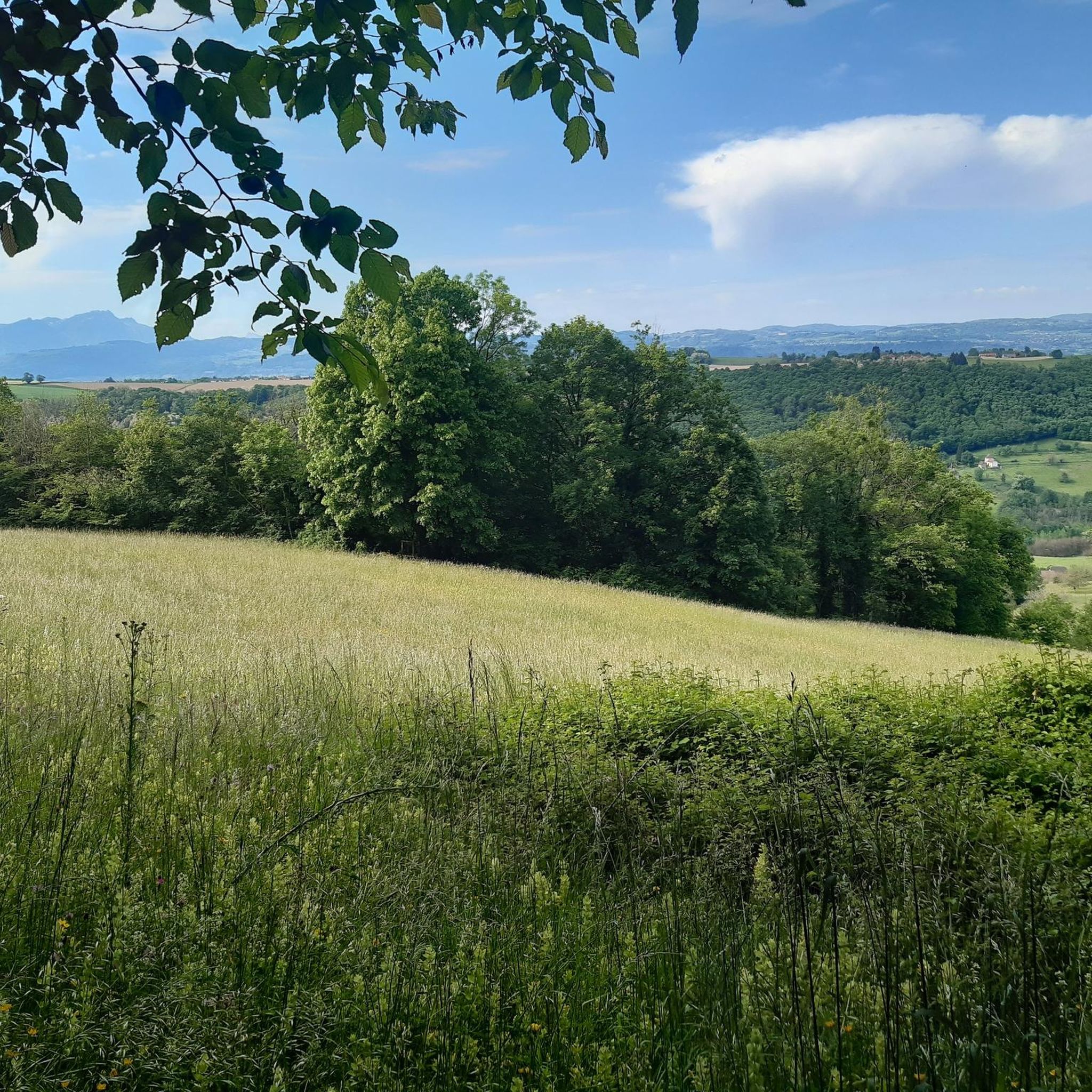
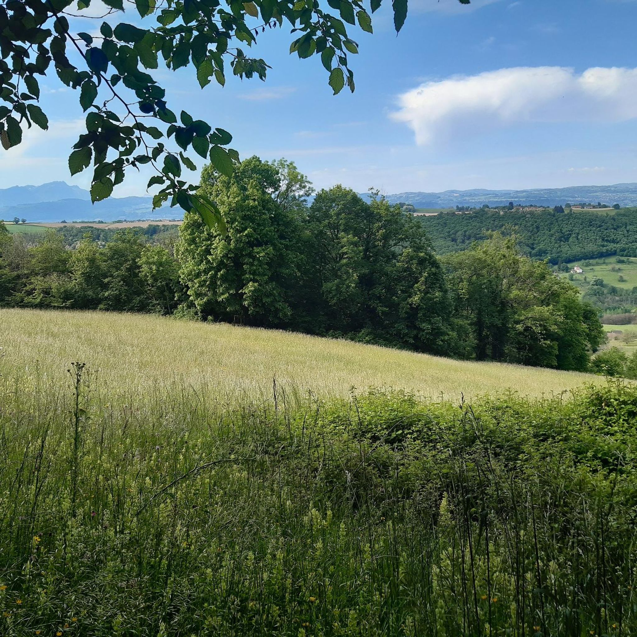
Mountain biking around Sainte-Marie-D'Alvey offers diverse terrain, ranging from wooded areas and rolling countryside to mountainous ascents. The region, situated in the Savoie department, features fir forests, winding single tracks, and mountain pasture paths. With an average altitude of 531 meters, the landscape provides varied cycling experiences, including routes around Lac d'Aiguebelette and Mont Tournier. This environment is well-suited for mountain biking, offering both challenging climbs and scenic descents.
Best mountain bike trails around Sainte-Marie-D'Alvey
- The most popular mountain bike…
Last updated: July 11, 2026
4.4
(14)
75
riders
27.1km
02:19
570m
570m
Hard mountain bike ride. Good fitness required. Advanced riding skills necessary. Some portions of the route may require you to push your bike.
4.5
(16)
36
riders
25.1km
02:18
580m
580m
Moderate mountain bike ride. Good fitness required. Advanced riding skills necessary.

Sign up for free
4.7
(3)
35
riders
35.2km
04:02
1,100m
1,100m
Hard mountain bike ride. Very good fitness required. Advanced riding skills necessary. Some portions of the route may require you to push your bike.
4.4
(7)
34
riders
41.5km
04:20
1,160m
1,160m
Hard mountain bike ride. Very good fitness required. Advanced riding skills necessary. Some portions of the route may require you to push your bike.
4.7
(3)
23
riders
44.2km
03:44
1,060m
1,050m
Hard mountain bike ride. Very good fitness required. Suitable for all skill levels.
Get access to more routes and recommendations from other explorers.
Sign up for free
Already have an account?
Our route recommendations are based on thousands of hikes, rides, and runs completed by other people on komoot.
Start today with a free account
Your next adventure awaits.
Login or Signup

Tips from the Community


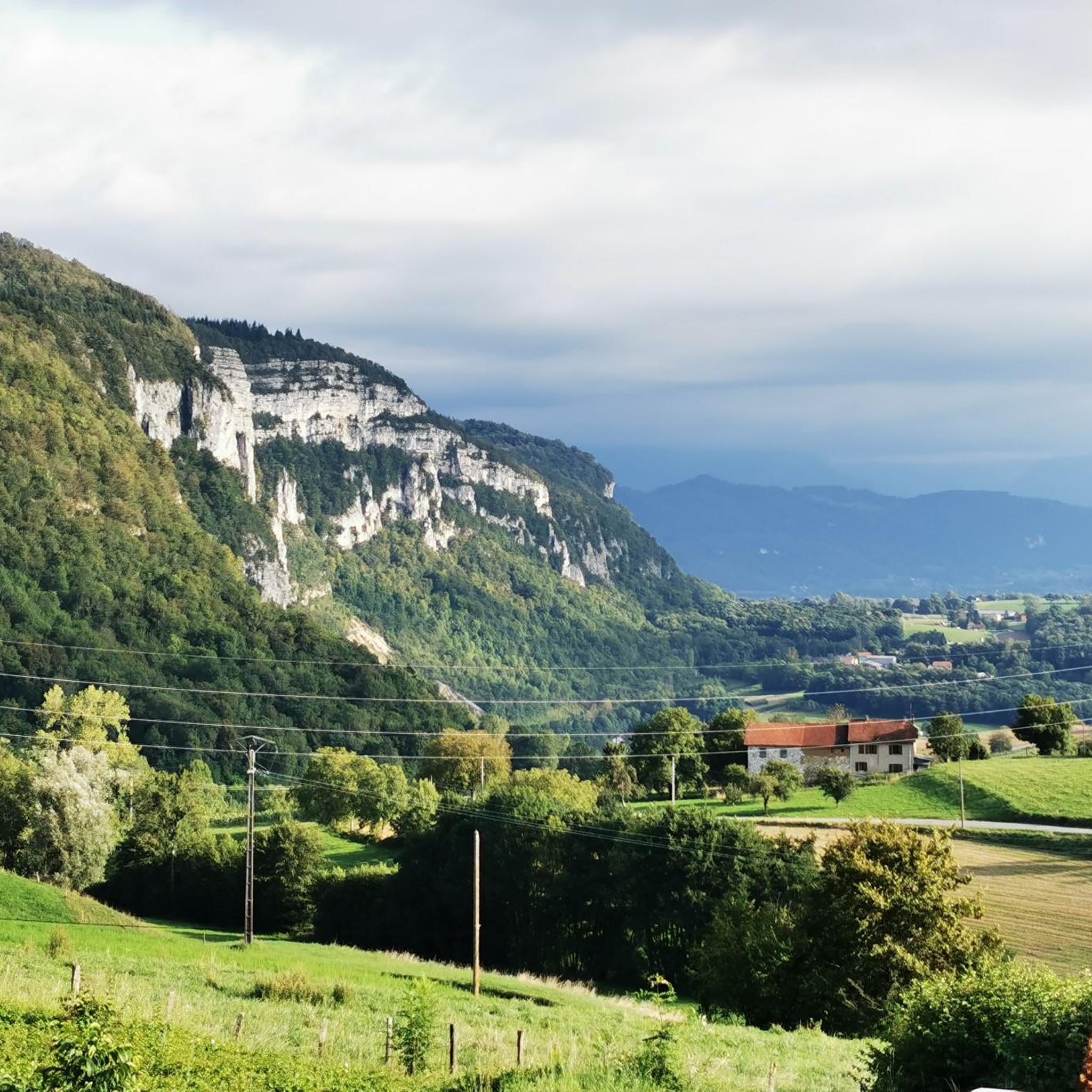
A very quiet and pleasant road. On the Chambéry side, a good part is in the shade, the slope of the main road is rather constant around 7-8%. On the Novalaise side, the mineral aspect with the cliff is more present in the middle of the climb. This side is quite steep with kilometers at 8-9%. On each side, 1 belvedere offers a breathtaking view of Lake Aiguebelette (approx. 2 km from the summit) and on the other side of Chambéry, the Bauges, Belledonne, the Chartreuse (500 m from the summit). The summit is in the forest.
1
0

Dizzying belvedere from the top of Mont Tournier, view of the Grand Thur, the Grand Colombier and of course the Rhône.
1
0

Leaving from Chambery, the beginning hurts a little, but the rest is quite good
0
1

There is a mistake about the valleys!
2
0


Pass without too much traffic. Quite steep start to reach Saint Sulpice, the rest is rather regular. The pass is closed in winter
2
0
Unmissable “road cycling” of the Col de l'Épine located at an altitude of 990 m.
1
0
Frequently Asked Questions
How many mountain bike trails are available around Sainte-Marie-D'Alvey?
There are nearly 90 mountain bike trails around Sainte-Marie-D'Alvey, offering a wide range of options for different skill levels. This includes 15 easy routes, 56 moderate routes, and 16 difficult routes.
What kind of terrain can I expect on mountain bike trails in Sainte-Marie-D'Alvey?
The terrain around Sainte-Marie-D'Alvey is diverse, featuring wooded areas, rolling countryside, and mountainous ascents. You'll find fir forests, winding single tracks, and mountain pasture paths, with routes transitioning from pine-scented forests to open pastures and fresh rivers. The average altitude of Sainte-Marie-D'Alvey is 531 meters, indicating a hilly to mountainous landscape.
Are there any family-friendly mountain bike trails in the area?
Yes, Sainte-Marie-D'Alvey offers 15 easy mountain bike routes that are suitable for families. These trails provide a gentler introduction to mountain biking while still allowing you to enjoy the region's natural beauty.
What are some notable natural features or landmarks I can see while mountain biking?
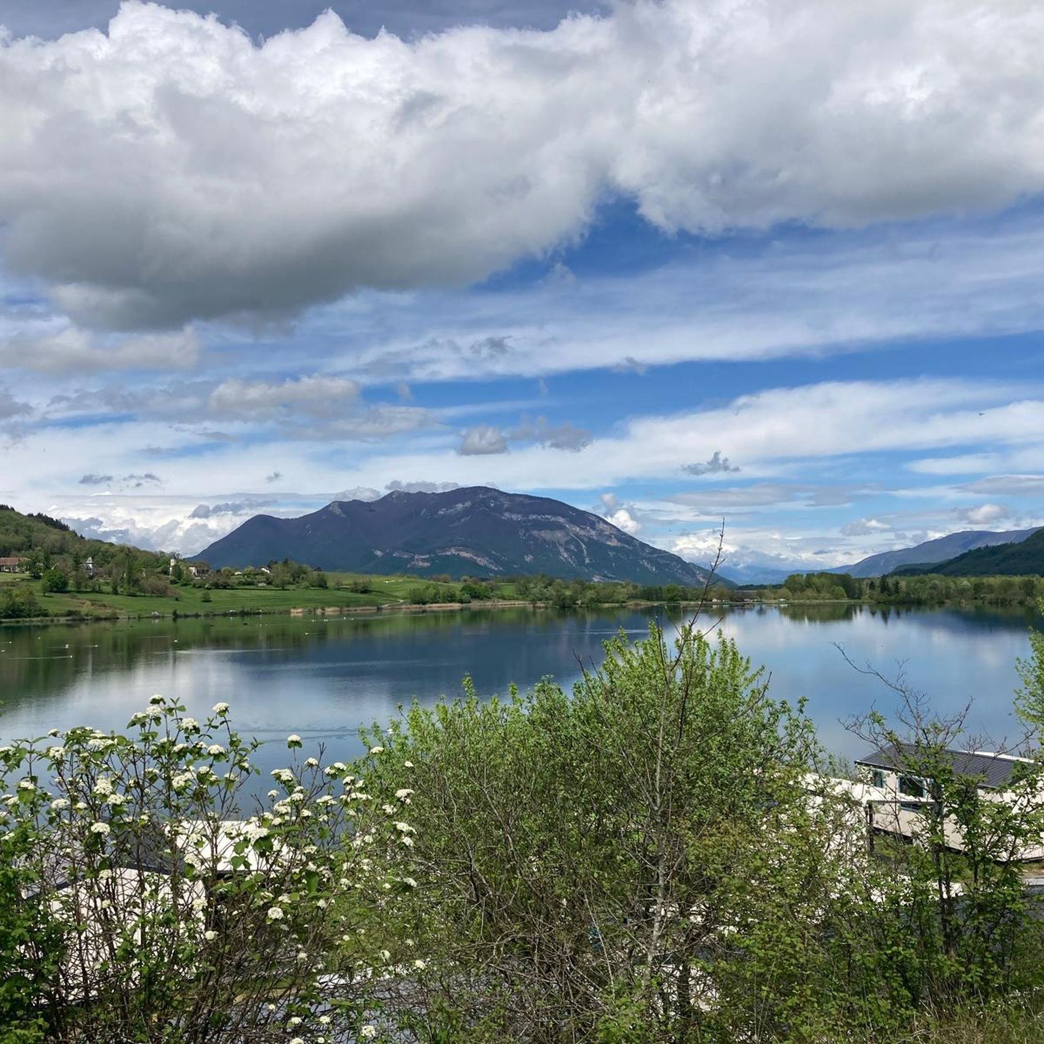
Many trails offer stunning views and pass by significant natural features. You can explore routes around Lac d'Aiguebelette, known for its clear, turquoise waters, or ascend Épine Pass and Col du Banchet for panoramic vistas. The region also features Mont Tournier, a modest peak offering exhilarating forest descents and shady sections.
What do other mountain bikers say about the trails in Sainte-Marie-D'Alvey?
The mountain bike trails around Sainte-Marie-D'Alvey are highly rated by the komoot community, with an average score of 4.3 stars from over 300 reviews. Over 1400 mountain bikers have used komoot to explore the varied terrain, often praising the diverse landscapes and well-maintained paths.
Are there any circular mountain bike routes available?
Yes, many routes in the area are circular. For example, you could try the moderate Crusille Pass (573 m) – Col du Mont Tournier (851 m) loop from Gerbaix, which covers 25 km with over 570 meters of elevation gain. For a more challenging option, consider the difficult View of Lake Aiguebelette – Saint-Michel Pass loop from Novalaise, spanning 35 km with over 1000 meters of ascent.
What is the best time of year to go mountain biking in Sainte-Marie-D'Alvey?
The region's diverse terrain, with its mix of wooded areas and open landscapes, makes it enjoyable across multiple seasons. Spring and autumn generally offer pleasant temperatures and vibrant scenery. Summer provides warmer weather, ideal for combining rides with water activities at Lac d'Aiguebelette, while shaded forest trails offer respite from the heat.
Are there any challenging mountain bike routes for experienced riders?
Absolutely. For experienced riders seeking a challenge, there are 16 difficult routes. A demanding option is the Mount Tournier – Col du Mont Tournier (851 m) loop from Novalaise, a 41.4 km trail with over 1150 meters of elevation gain, typically taking around 4 hours 20 minutes to complete.
Can I find mountain bike routes with views of Lac d'Aiguebelette?
Yes, Lac d'Aiguebelette is a prominent feature in the region, and several mountain bike routes offer superb views of its clear, turquoise waters. The difficult View of Lac d'Aiguebelette loop from Novalaise is a prime example, covering 44 km and providing extensive lake vistas.
Are there any mountain bike trails that pass through forests?
Many trails around Sainte-Marie-D'Alvey traverse beautiful fir forests, offering shady sections and winding single tracks. The region's mountainous environment ensures a natural playground with varied forest paths, providing a refreshing experience, especially during warmer months.
What is the longest mountain bike trail available?
One of the longest and most challenging routes is the difficult View of Lac d'Aiguebelette loop from Novalaise, which spans 44.1 km with over 1050 meters of elevation gain.
Most popular routes around Sainte-Marie-D'Alvey
Most popular attractions around Sainte-Marie-D'Alvey

Get inspired with the komoot mobile app


Explore more
Browse the best MTB trails in other regions.
