The best road cycling routes around Loisieux
4.3
(147)
3,696
riders
92
rides
Road cycling around Loisieux, situated in France's Savoie department, offers diverse terrain ranging from 360m to 860m in altitude. The region is characterized by its proximity to notable natural features such as Lac d'Aiguebelette and the challenging Mont du Chat. Cyclists can expect routes that traverse rolling countryside, small villages, forests, and vineyards, providing varied landscapes for road biking.
Best road cycling routes around Loisieux
- The most popular road cycling route is Crusille Pass (573 m) – Virignin footbridge loop…
Last updated: July 7, 2026
4.0
(1)
54
riders
51.1km
02:24
640m
640m
Moderate road ride. Good fitness required. Some segments of this route may be unpaved and difficult to ride.
3.0
(1)
60
riders
69.8km
04:19
1,890m
1,890m
Hard road ride. Very good fitness required. Mostly well-paved surfaces and easy to ride.

Sign up for free
69
riders
99.6km
04:57
1,530m
1,530m
Hard road ride. Very good fitness required. Mostly well-paved surfaces and easy to ride.
22
riders
84.7km
03:33
580m
580m
Moderate road ride. Good fitness required. Mostly well-paved surfaces and easy to ride.
5.0
(1)
23
riders
64.3km
03:05
650m
650m
Moderate road ride. Good fitness required. Mostly well-paved surfaces and easy to ride.
Get access to more routes and recommendations from other explorers.
Sign up for free
Already have an account?
Our route recommendations are based on thousands of hikes, rides, and runs completed by other people on komoot.
Start today with a free account
Your next adventure awaits.
Login or Signup


Tips from the Community

Wow, what a beautiful waterfall! 🤩🤩
1
0

Here is the route for the ascent of the Col de la Crusille starting from Saint-Genix-sur-Guiers
1
0
Here is the route for the ascent of the Col de la Crusille starting from Novalaise
1
0

Beautiful and very wild without cars
0
0

It's a must-see place with a magnificent view of Lake Bourget.
1
0

Magnificent view of Lake Bourget
1
0
Peaceful passage in the countryside.
1
0
A pretty peat bog that you can't miss when going up to Innimond and the Col du Petit Perthuis
1
0
Frequently Asked Questions
What makes Loisieux a good destination for road cycling?
Loisieux, located in France's Savoie department, offers a diverse road cycling experience with altitudes ranging from 360m to 860m. It's strategically positioned near the stunning Lac d'Aiguebelette and the challenging Mont du Chat, providing varied landscapes from serene lakeside loops to demanding mountain ascents. The broader Savoie region also boasts an extensive cycling network, making it ideal for all levels.
What kind of terrain can I expect on road cycling routes near Loisieux?
Road cycling routes around Loisieux feature a mix of terrain. You'll find challenging mountain passes like the Mont du Chat, serene lakeside roads around Lac d'Aiguebelette, and picturesque rolling countryside, small villages, forests, and vineyards. This variety ensures routes for different preferences, from leisurely rides to strenuous climbs.
Are there challenging road cycling routes around Loisieux?
Yes, Loisieux is an excellent base for challenging road cycling. The region is known for formidable climbs like the Mont du Chat, often cited as one of France's toughest ascents. Routes such as the Col de Fay – Lac d'Ambléon loop from Peyrieu and the Virignin footbridge – Col du Chat loop from Peyrieu offer significant elevation gains and are popular among experienced cyclists.
What scenic viewpoints or landmarks can I discover on road cycling routes in Loisieux?
Road cycling routes around Loisieux offer numerous scenic highlights. You can enjoy breathtaking panoramic views of Lac du Bourget and distant peaks from the Signal du Mont du Chat or the Mont du Chat lookout (1504 m). Other notable landmarks include the Col du Chat (638 m), the Épine Pass, and the Virignin footbridge, which is part of the popular Crusille Pass (573 m) – Virignin footbridge loop from Peyrieu.
How many road cycling routes are available around Loisieux?
There are nearly 100 road cycling routes available around Loisieux on komoot, catering to various skill levels. This includes 5 easy routes, 57 moderate routes, and 37 difficult routes, ensuring options for every cyclist.
What do other road cyclists enjoy most about road cycling in Loisieux?
The road cycling routes around Loisieux are highly rated by the komoot community, with an average score of 4.3 stars from over 100 reviews. Cyclists frequently praise the region's varied terrain, from challenging mountain climbs to scenic lakeside loops, and the picturesque landscapes of rolling countryside and vineyards.
Are there any family-friendly road cycling routes near Loisieux?
While Loisieux is known for its challenging climbs, the broader region around Lac d'Aiguebelette offers gentler lakeside loops suitable for families and less strenuous cycling. These routes provide picturesque landscapes without significant elevation gain, perfect for a more relaxed ride.
What is the best time of year for road cycling in Loisieux?
The best time for road cycling in Loisieux, and the Savoie region generally, is typically from spring through autumn. During these seasons, the weather is more favorable, and mountain passes are clear of snow, allowing access to the full range of routes and climbs. Summer offers warm temperatures, while spring and autumn provide cooler conditions and beautiful scenery.
Can I find cafes or places to stop along the road cycling routes?
The Savoie region, including areas around Loisieux, features numerous small villages and towns. While specific cafes on every route aren't listed, these villages often provide opportunities for refreshments and breaks, especially around popular areas like Lac d'Aiguebelette.
Are there any routes that offer views of the Rhône river?
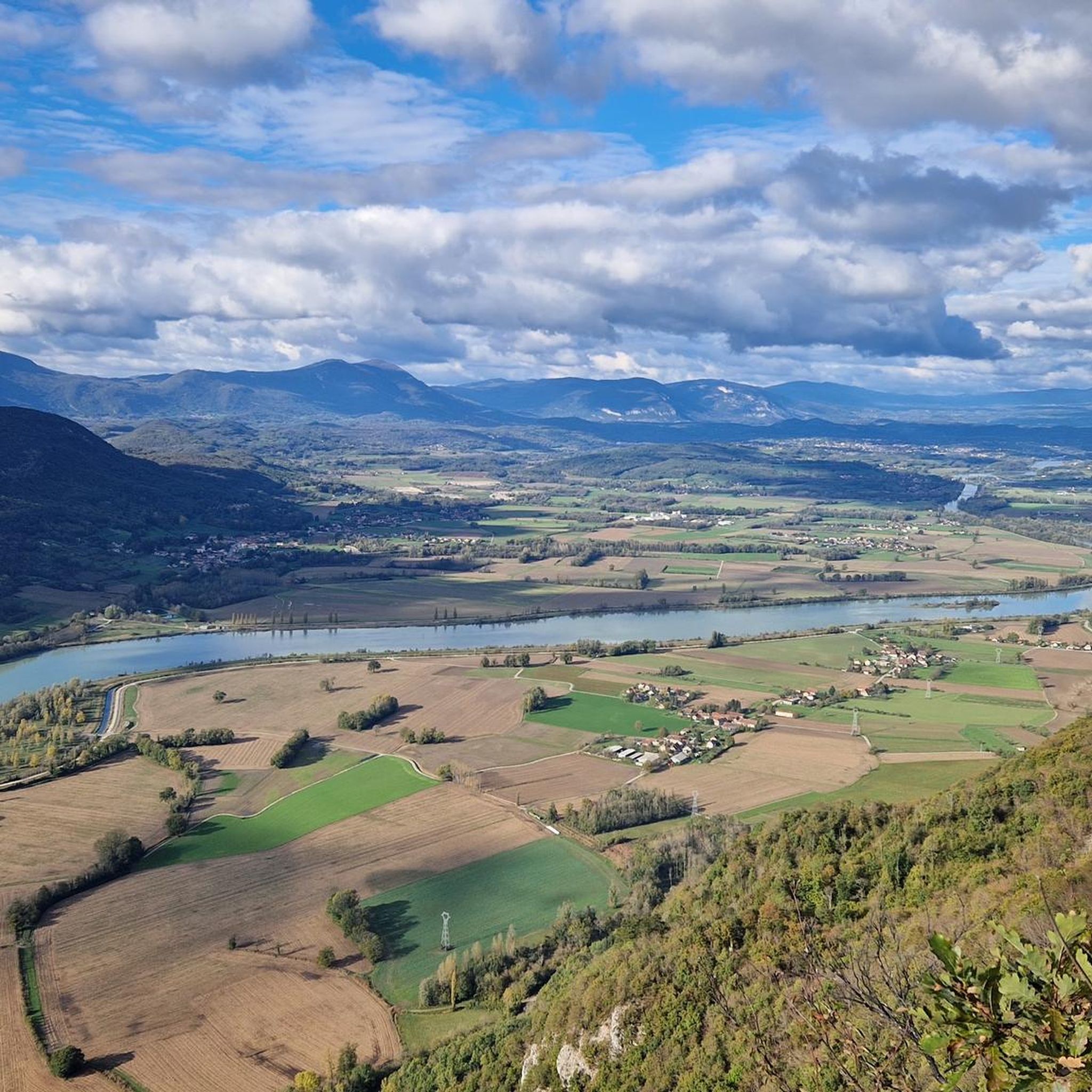
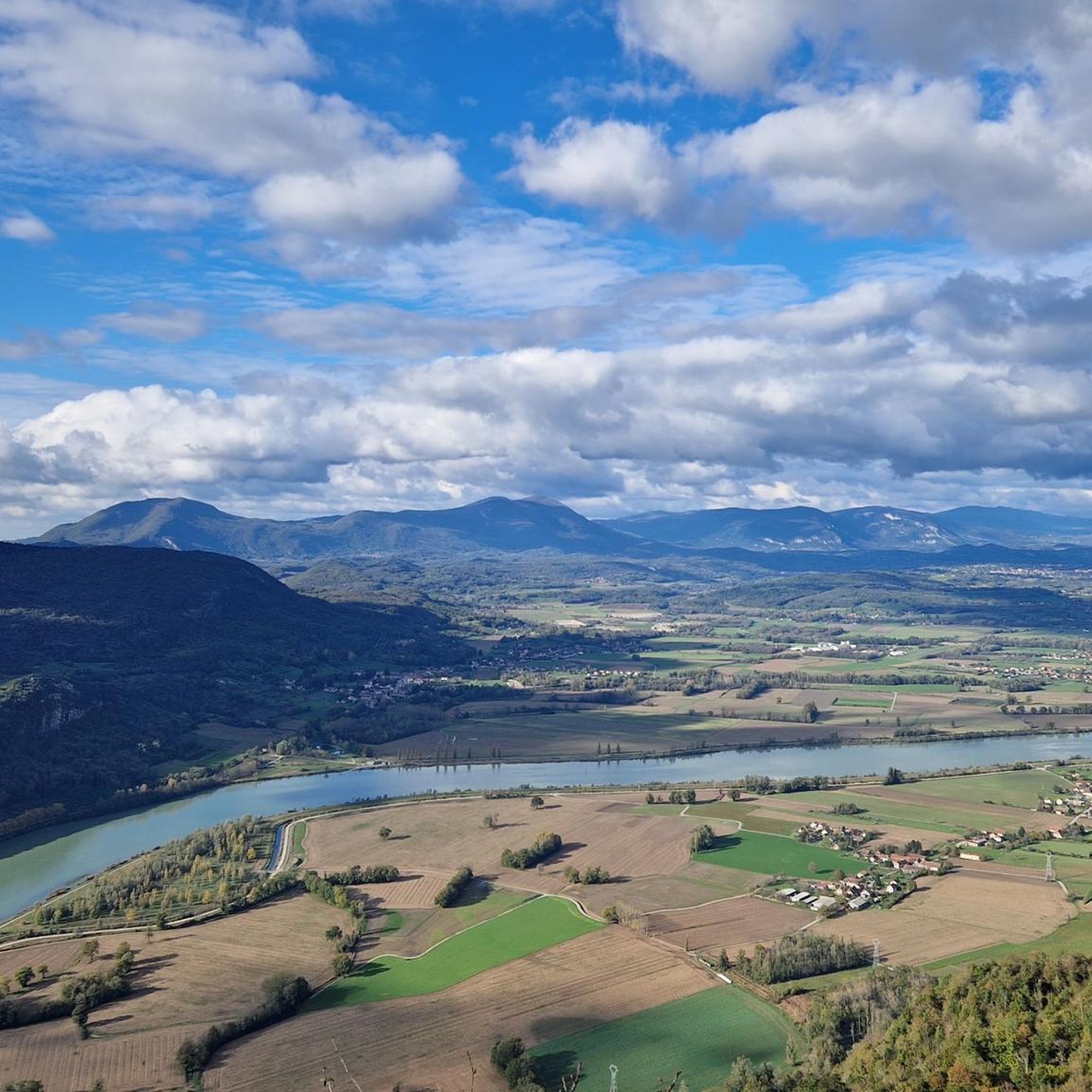
Yes, some routes provide views of the Rhône river. For instance, the View of the Saut du Rhône – Montée vers le col de Portes loop from Peyrieu offers scenic vistas of the river, combining natural beauty with a moderate cycling challenge.
Are there any circular road cycling routes available?
Many of the road cycling routes around Loisieux are designed as loops, allowing you to start and finish in the same location. Examples include the popular Crusille Pass (573 m) – Virignin footbridge loop from Peyrieu and the more challenging Lac d'Ambléon – Fosses Pass loop from Peyrieu.
Most popular routes around Loisieux
Most popular attractions around Loisieux

Get inspired with the komoot mobile app


Explore more
Browse the best Road cycling routes in other regions.
