The best cycling routes around Gewenheim
4.3
(846)
10,208
riders
15
rides
Touring cycling routes around Gewenheim are situated in the Alsace region, characterized by a mix of rolling hills, picturesque valleys, and proximity to the Vosges Mountains. The terrain offers varied cycling experiences, from gentle paths along rivers to more challenging ascents. This area provides a diverse landscape for cyclists, with elevations ranging from lower valley floors to higher mountainous sections.
Best touring cycling routes around Gewenheim
- The most popular touring cycling route is Sentheim Train Station – Burnhaupt Station loop…
Last updated: October 14, 2026
4.4
(5)
38
riders
29.9km
01:49
200m
200m
Moderate bike ride. Good fitness required. Mostly paved surfaces. Suitable for all skill levels.
4.0
(2)
17
riders
8.87km
00:30
30m
30m
Easy bike ride. Great for any fitness level. Mostly paved surfaces. Suitable for all skill levels.

3.7
(3)
8
riders
12.0km
00:47
90m
90m
Easy bike ride. Great for any fitness level. Mostly paved surfaces. Suitable for all skill levels.
1.0
(1)
10
riders
23.0km
01:21
130m
130m
Easy bike ride. Great for any fitness level. Mostly paved surfaces. Suitable for all skill levels.
5.0
(1)
5
riders
12.1km
00:44
100m
100m
Easy bike ride. Great for any fitness level. Mostly paved surfaces. Suitable for all skill levels.
Get access to more routes and recommendations from other explorers.
Already have an account?
Our route recommendations are based on thousands of hikes, rides, and runs completed by other people on komoot.
Start today with a free account
Your next adventure awaits.

Tips from the Community

War Memorial of Burnhaupt-le-Haut The War Memorial of Burnhaupt-le-Haut commemorates the residents of the place who lost their lives in the wars of the 20th century. The memorial is particularly closely linked to the history of the First World War. At that time, Burnhaupt-le-Haut was located immediately in the front line area and was severely devastated during the fighting. The municipality describes the place for the years 1914-1918 as literally marked by the events of the war and completely destroyed. The current memorial, however, was only inaugurated in 1969. On June 13, 1969, a large festive parade took place on the occasion of its inauguration. This created a central place of remembrance for the fallen and missing of the municipality. The memorial is therefore not isolated, but is part of the turbulent local history: Burnhaupt-le-Haut was located between French and German positions during the First World War. The fighting left deep scars in the village and led to the destruction of numerous buildings. The current church of Saint-Boniface also had to be rebuilt after the war and was inaugurated in 1929. Today, the War Memorial is a place for annual commemorative ceremonies. Here, especially on November 11, the anniversary of the armistice of 1918, the victims of the First World War are remembered. Source: Municipality of Burnhaupt-le-Haut – History Further reading: Société d’Histoire de la Vallée de Masevaux – Contribution „Le monument aux morts de Burnhaupt-le-Haut“
0
0
Bahnhof Burnhaupt-le-Haut The Bahnhof Burnhaupt-le-Haut is located on the former railway line from Cernay to Sewen, which led through the Dollertal. The line was built in the 19th century and was of great importance for passenger and freight transport in the region. During the First World War, the station gained particular strategic importance. Burnhaupt was located immediately behind or close to the front line between German and French troops. The railway was used to transport soldiers, weapons, ammunition, and other supplies. Due to the fighting, the station was heavily damaged. After the war, the station building was rebuilt between 1921 and 1923. A building typical of the region with elements of Alsatian architecture was created. The station has largely been preserved to this day and serves as a reminder of the importance of the railway for the region's development and the destruction of the First World War. Regular passenger service on the line was discontinued in 1967, and the line was later closed. Part of the former railway line is now operated as a museum railway by Train Thur Doller Alsace. Historic locomotives and wagons run on the line through the Dollertal, making the history of the railway tangible for visitors. The Bahnhof Burnhaupt-le-Haut is therefore not only a former transport hub, but also a historic site where the history of the region, the railway, and the First World War converge. Further information and historical photos: Train Thur Doller Alsace – Bahnhof Burnhaupt
0
0

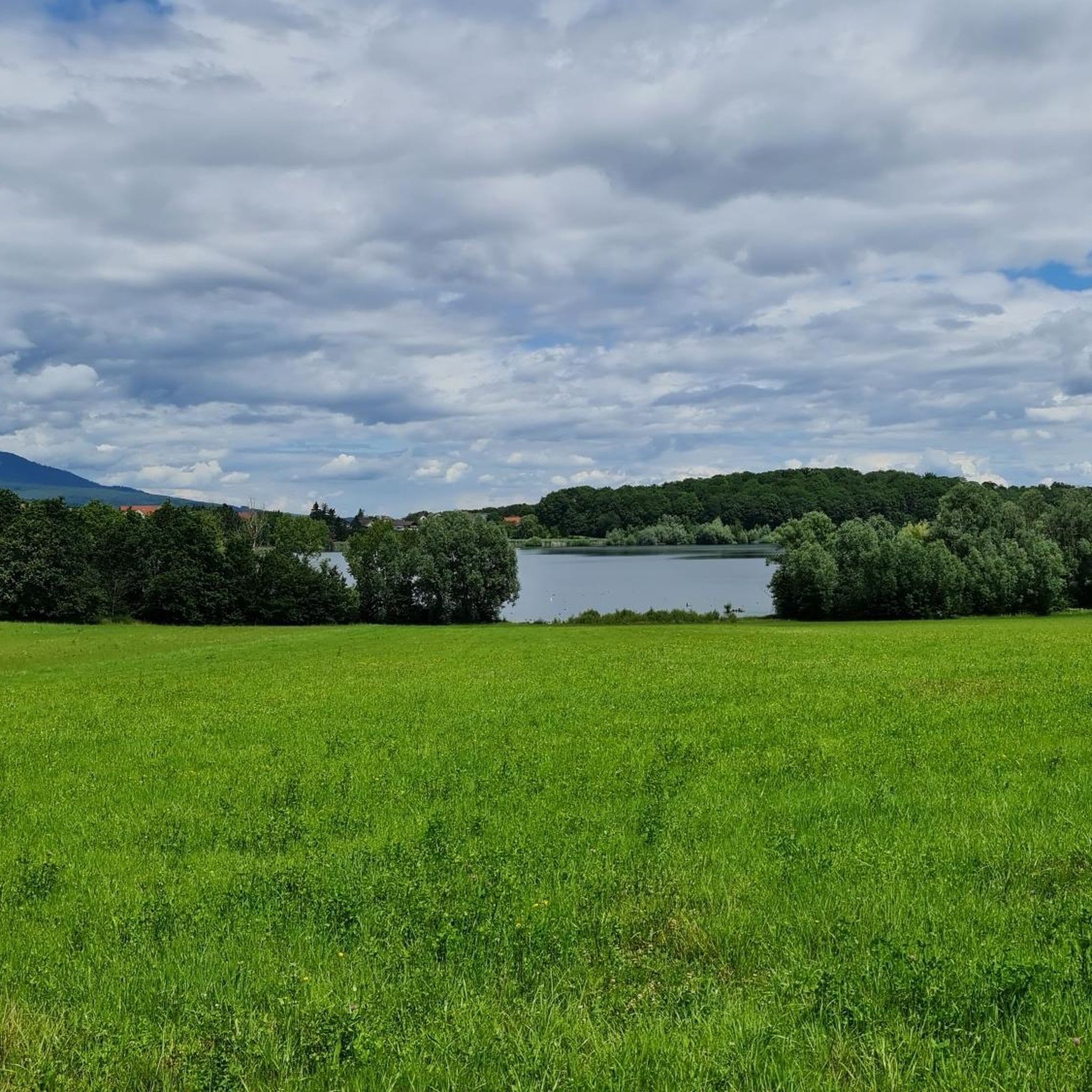
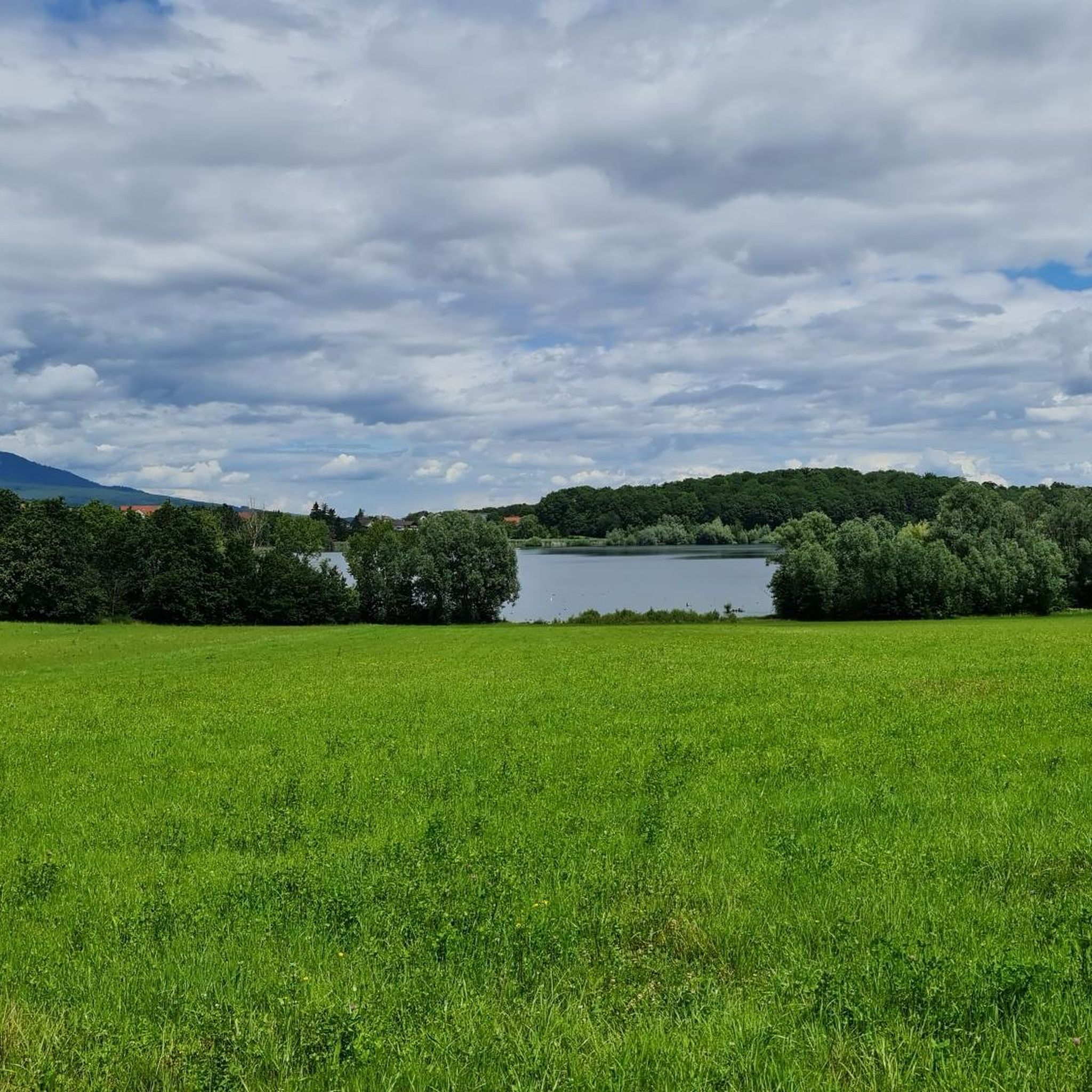
the Michelbach lake is a place where you can stop for a picnic during hikes or bike rides
0
0


Burnhaupt-le-Haut, is a bourg rural (a rural centre with urban influences) in the Doller valley, on the edge of the Vosges. In 1917, it was almost completely destroyed during WWI. The Saint-Boniface church, originally from the 18th century, was rebuilt after WWII in a striking art deco style. Inside you will find, among other things, an organ from 1930 and Byzantine-inspired wood carvings.
6
0

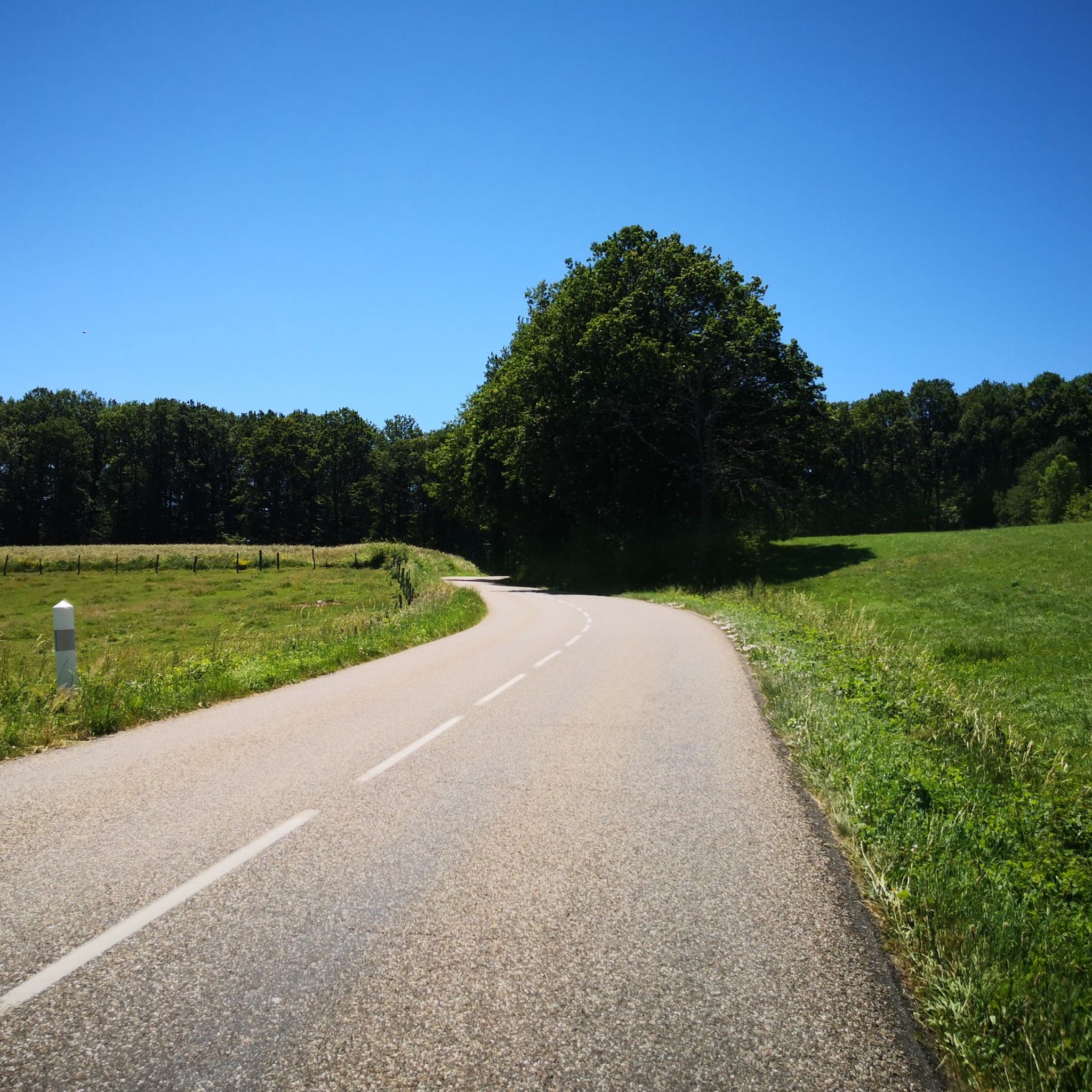
This bike path is very, very nice, and there's even a bench. The bike path is also under trees.
0
0

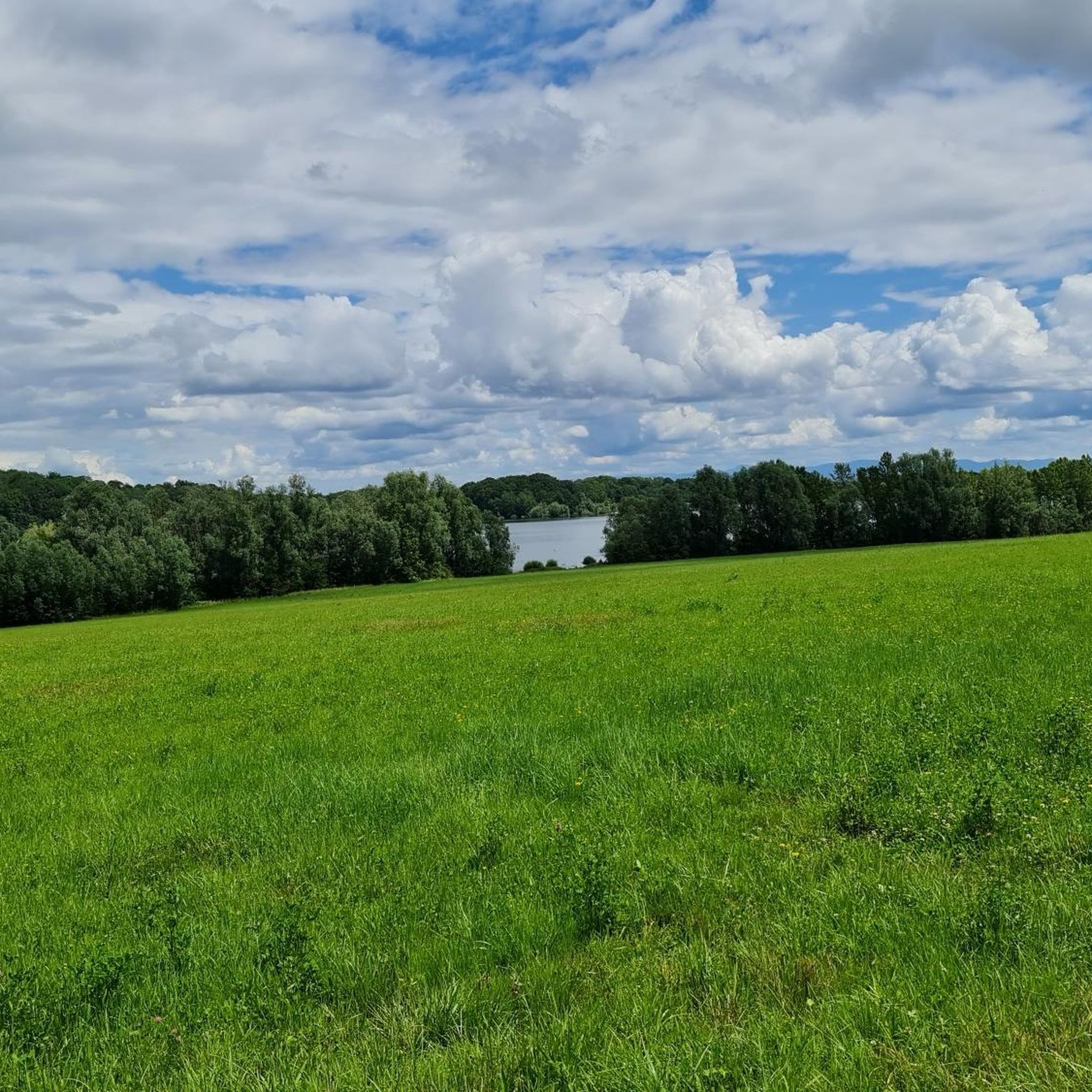
Beautiful walk around Lake Michelbach, allowing you to discover the dam and the nature reserve.
0
0

Very nice passage along the Thur river. Hilly route towards Lake Wildenstein-Kruht A tarmac road for all audiences I recommend the lunch break at the Kruht Lake Inn.
0
0
Frequently Asked Questions
How many touring cycling routes are available around Gewenheim?
There are over 400 touring cycling routes around Gewenheim, offering a wide variety of experiences. These routes are highly rated by the komoot community, with an average score of 4.4 stars from over 600 reviews.
What kind of terrain can I expect on touring cycling routes in Gewenheim?
The terrain around Gewenheim is diverse, characterized by a mix of rolling hills, picturesque valleys, and proximity to the Vosges Mountains. You'll find everything from gentle paths along rivers to more challenging ascents, providing varied cycling experiences.
Are there routes suitable for beginners or families in Gewenheim?
Yes, Gewenheim offers routes suitable for various ability levels. For an easier ride, consider the Les Castors Campsite – Sentheim station loop from Lotissement Chambrun, which is 15.3 miles (24.6 km) long and leads through varied local scenery.
What are some challenging routes for experienced touring cyclists?
Experienced cyclists looking for a challenge might enjoy the Hundsruck Pass – Thann Church loop from Sentheim. This difficult 27.1 miles (43.7 km) path features significant elevation gain and offers panoramic views of the surrounding mountainous landscape.
Are there any circular touring cycling routes in the area?
Many routes in Gewenheim are designed as loops. For example, the popular Sentheim Train Station – Burnhaupt Station loop from Burnhaupt-le-Haut is a moderate 26.4 miles (42.5 km) trail that provides a balanced cycling experience through the local countryside.
What scenic viewpoints or natural features can I see along the routes?
The region offers several natural highlights. You can encounter the impressive Hundsruck Pass, which provides stunning views, or cycle near Michelbach Lake. The broader Alsace region is known for its picturesque valleys and proximity to the Vosges Mountains, including the Grand-Ballon.
Are there historical landmarks or cultural attractions near the cycling routes?
Yes, you can explore several interesting landmarks. The Saint-Thiébaut Collegiate Church – Thur River loop from Guewenheim route passes by the collegiate church. Other notable attractions include The Witch's Eye (Engelbourg Castle) and the Rangen Cross.
What do other touring cyclists say about the routes in Gewenheim?
The touring cycling routes in Gewenheim are highly regarded by the komoot community, holding an average rating of 4.4 stars from over 600 reviews. Over 9,000 touring cyclists have used komoot to explore the varied terrain, often praising the scenic beauty and diverse options available.
What is the best time of year for touring cycling in Gewenheim?
The Alsace region, where Gewenheim is located, generally offers pleasant cycling conditions from spring through autumn. These seasons provide comfortable temperatures and vibrant landscapes, making them ideal for exploring the rolling hills and valleys.
Are there routes that pass by reservoirs or bodies of water?
Yes, you can find routes that feature water bodies. For instance, the Michelbach Reservoir – Michelbach Dam loop from Lotissement Chambrun is a moderate route that takes you past the Michelbach Reservoir and Dam.
Is there accommodation available for touring cyclists in Gewenheim?
Yes, the area is supportive of outdoor visitors. For example, the presence of "Camping Alsace Les Castors" just 2.1 km from Guewenheim indicates accommodation options suitable for those on multi-day cycling trips.
What is the average distance of touring cycling routes in Gewenheim?
While distances vary widely, many popular touring cycling routes in Gewenheim range from 15 to 30 miles (24 to 48 km). This allows for diverse experiences, from shorter, leisurely rides to longer, more challenging excursions.
Most popular routes around Gewenheim
Most popular attractions around Gewenheim

Get inspired with the komoot mobile app


Explore more
Browse the best Cycling routes in other regions.
