The best mountain hikes around Meylan
4.5
(22)
247
hikers
19
hikes
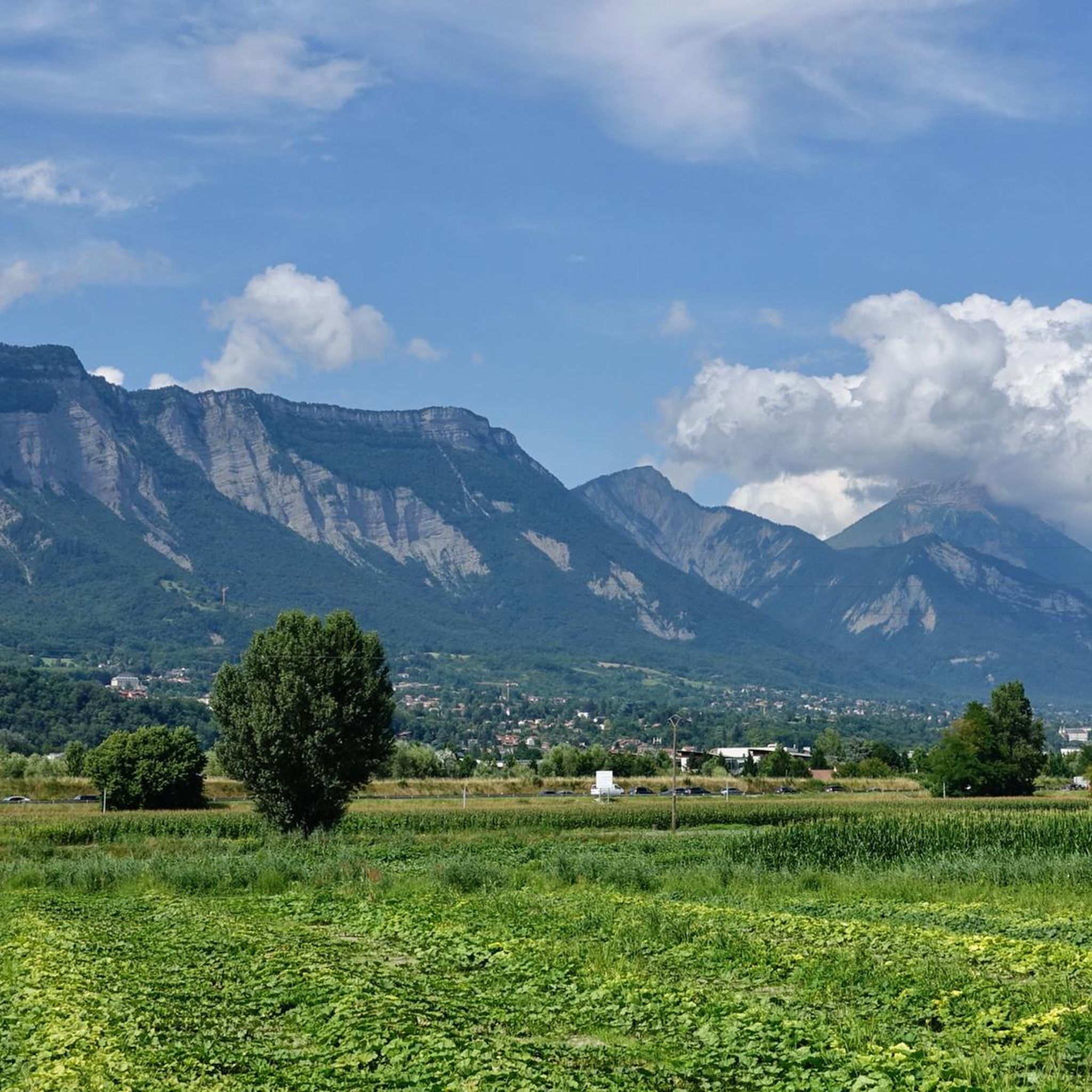
Mountaineering routes around Meylan are situated in the foothills of the French Alps, offering a diverse landscape for outdoor enthusiasts. The region is characterized by significant elevation changes, with routes traversing forested slopes, rocky outcrops, and open mountain terrain. This area provides access to the Chartreuse Massif, known for its limestone formations and panoramic views.
Best mountaineering routes around Meylan
- The most popular mountaineering route is Le Néron loop from Saint-Martin-le-Vinoux, a 7.8 miles (12.5 km) trail that takes…
Last updated: October 18, 2026
4.0
(2)
18
hikers
12.5km
07:01
1,020m
1,020m
Hard mountaineering route. Very good fitness required. Sure-footedness, sturdy shoes and alpine experience required.
18
hikers
3.74km
02:29
410m
410m
Hard mountaineering route. Good fitness required. Sure-footedness, sturdy shoes and alpine experience required.

5.0
(1)
14
hikers
11.6km
03:56
510m
510m
Moderate mountaineering route. Good fitness required. Mostly accessible paths. Sure-footedness required.
5.0
(2)
14
hikers
13.7km
04:54
610m
610m
Moderate mountaineering route. Good fitness required. Mostly accessible paths. Sure-footedness required.
4.7
(3)
9
hikers
12.1km
05:21
800m
800m
Hard mountaineering route. Very good fitness required. Sure-footedness, sturdy shoes and alpine experience required.
Get access to more routes and recommendations from other explorers.
Already have an account?
Our route recommendations are based on thousands of hikes, rides, and runs completed by other people on komoot.
Start today with a free account
Your next adventure awaits.

Tips from the Community


A bit of gas and a beautiful view of the city
0
0

Beautiful view of the city, both day and night. Drinking water available.
1
0


The climb to the charming Som from the Col de Porte is always a treat. There are some very steep sections, but the view at the top is worth it. Be careful on the descent: uneven road, tight bends, cars.
0
0

Frequently Asked Questions
What is the overall difficulty level of mountaineering routes around Meylan?
The mountaineering routes around Meylan are predominantly challenging. Out of 21 available routes, 18 are classified as difficult, with the remaining 3 being moderate. This area is best suited for experienced mountaineers seeking significant ascents and rugged terrain.
Are there any circular mountaineering routes available near Meylan?
Yes, several routes in the area are circular. For example, you can explore the Le Néron loop from Saint-Martin-le-Vinoux, which is a challenging 12.5 km route. Another option is the moderate Oratoire d'Orgeval – Col de la Chavanette Signpost loop from Chamechaude, covering 11.6 km.
What are the best times of year for mountaineering in Meylan?
The ideal time for mountaineering around Meylan is typically from late spring through early autumn (May to October), when trails are generally free of snow and weather conditions are more stable. However, conditions can change rapidly in the mountains, so always check the forecast before heading out.
What kind of elevation gain can I expect on these routes?
Mountaineering routes in Meylan feature significant elevation gains. For instance, the difficult Le Néron loop from Saint-Martin-le-Vinoux involves an ascent of nearly 1050 meters. Even moderate routes like the Piénom (1615 m) – Charmant Som summit loop from Chamechaude include over 600 meters of climbing.
Are there any family-friendly mountaineering options around Meylan?
Given that 18 out of 21 routes are classified as difficult, and the remaining 3 as moderate, most mountaineering routes around Meylan are not typically considered family-friendly, especially for young children or beginners. These trails are generally better suited for experienced hikers and mountaineers.
What interesting landmarks or natural features can I see along the mountaineering routes?
The region offers several notable landmarks. You might encounter mountain passes such as Col de Porte (1326 m) or Col du Coq. The prominent Chamechaude summit is also a significant feature. Additionally, historical sites like the Fort of Saint-Eynard offer cultural interest amidst the natural beauty.
How do other mountaineers rate the routes in Meylan?
The mountaineering routes in Meylan are highly regarded by the komoot community, boasting an average rating of 4.8 out of 5 stars from over 40 reviews. Users frequently praise the challenging ascents, diverse forest paths, and rocky mountain trails that define the area.
Is public transport available to access mountaineering trailheads near Meylan?
While Meylan itself is well-connected, direct public transport to all specific mountaineering trailheads in the higher Chartreuse Massif can be limited. Some starting points, particularly those closer to larger towns like Grenoble, may be accessible by local bus services. It's advisable to check local transport schedules for specific route access points.
Are there any moderate mountaineering routes for those looking for a less extreme challenge?
Yes, there are a few moderate options. The Oratoire d'Orgeval – Col de la Chavanette Signpost loop from Chamechaude is a moderate 11.6 km route. Another moderate choice is the Piénom (1615 m) – Charmant Som summit loop from Chamechaude, which spans 13.75 km and offers rewarding views.
What are some of the longer mountaineering routes in the Meylan area?
For those seeking longer excursions, the Piénom (1615 m) – Charmant Som summit loop from Chamechaude is a substantial 13.75 km route. Another challenging option is the Le Néron loop from Saint-Martin-le-Vinoux, which covers 12.5 km with significant elevation.
Can I find any historical castles or viewpoints near the mountaineering trails?
Absolutely. The region is rich in history and scenic vistas. You can visit the Fort of Saint-Eynard, a historic castle, or explore the Château de Bon Repos. For panoramic views, consider the View of Grenoble from Route de Narbonne or the Tour d'Arces and View of the Grésivaudan Valley.
What is the shortest difficult mountaineering route around Meylan?
If you're looking for a challenging but shorter experience, the L'Écoutoux loop from Le Sappey-en-Chartreuse is a difficult route spanning 3.7 km. It features challenging ascents through varied mountain terrain, making it a concentrated test of skill.
Most popular attractions around Meylan

Get inspired with the komoot mobile app


Explore more
Browse the best Mountain Hikes & Routes in other regions.
