The best running trails around Oberburbach
4.5
(173)
6,007
runners
352
runs
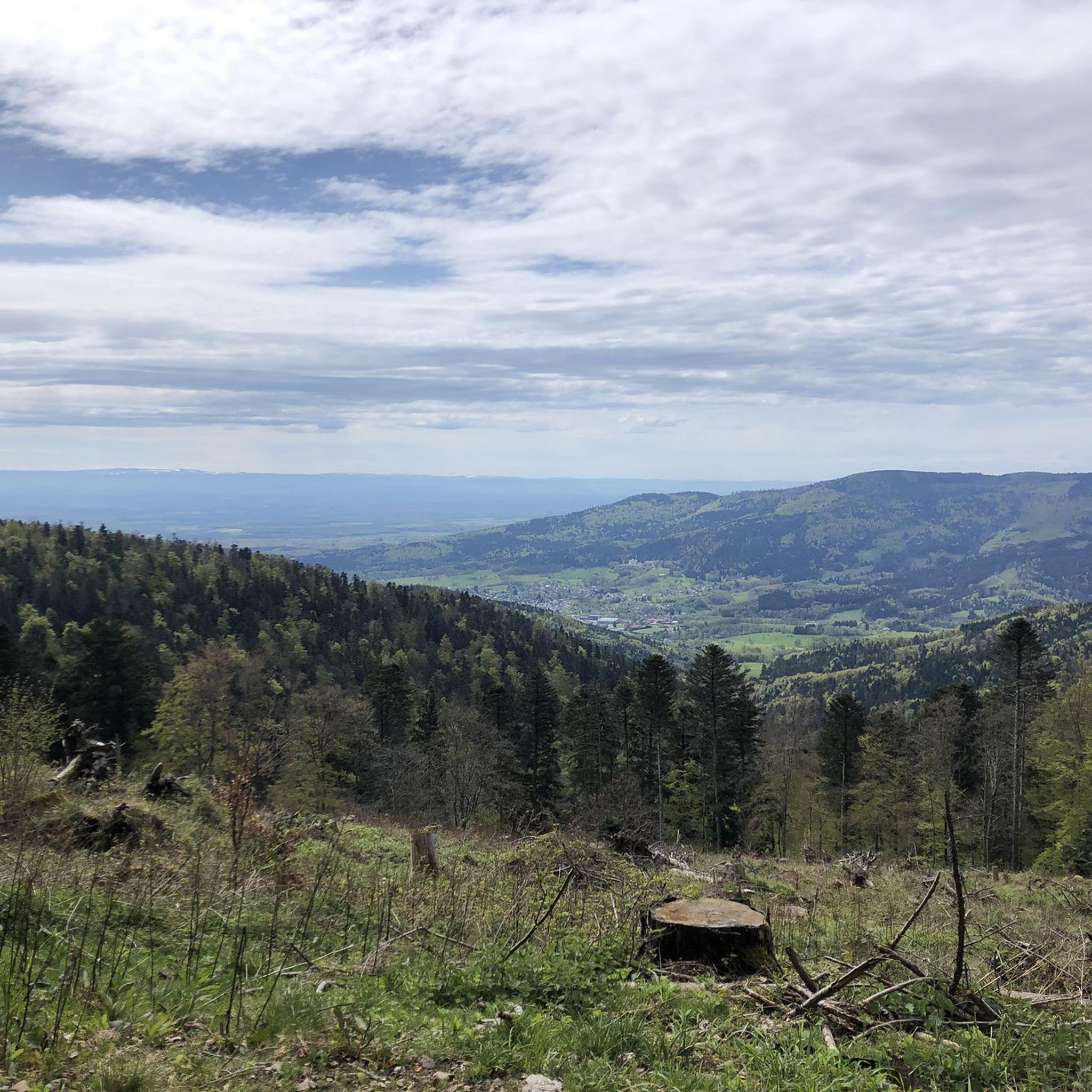
Jogging routes Oberburbach traverse a mountainous landscape within the Ballons des Vosges Regional Nature Park, featuring elevations from 650 to 1200 meters. The region is characterized by dense fir forests, numerous small valleys, and the Bourbach stream, providing varied terrain for running. From its elevated position, Oberburbach offers panoramic views of the Alsace plain and, on clear days, the Bernese Alps.
Best jogging routes around Oberburbach
- The most popular jogging route is Hundsruck – Vogelstein (Bird Rock) loop from Bourbach-le-Haut…
Last updated: October 15, 2026
5.0
(2)
89
runners
14.5km
01:59
610m
610m
Hard run. Very good fitness required. Mostly paved surfaces. Suitable for all skill levels.
5.0
(1)
40
runners
14.9km
02:19
870m
870m
Hard run. Very good fitness required. Mostly paved surfaces. Suitable for all skill levels.

35
runners
11.1km
01:32
490m
490m
Hard run. Very good fitness required. Mostly paved surfaces. Suitable for all skill levels.
5.0
(1)
22
runners
Moderate run. Good fitness required. Mostly paved surfaces. Suitable for all skill levels.
13
runners
12.8km
01:47
490m
490m
Hard run. Very good fitness required. Sure-footedness, sturdy shoes and alpine experience required.
Get access to more routes and recommendations from other explorers.
Already have an account?
Our route recommendations are based on thousands of hikes, rides, and runs completed by other people on komoot.
Start today with a free account
Your next adventure awaits.


Tips from the Community

The Col du Hunsrück (748 m) is a quiet and wooded pass above Willer-sur-Thur. The steady climb and beautiful nature make this a pleasant classic in the southern Vosges, with connections to both the Thur and Dollervallei valleys.
6
0

Beautiful hike and beautiful viewpoint
1
0


A magical, rustic stop with a delicious menu!
1
0

It peaks at an altitude of 1183 meters.
0
0


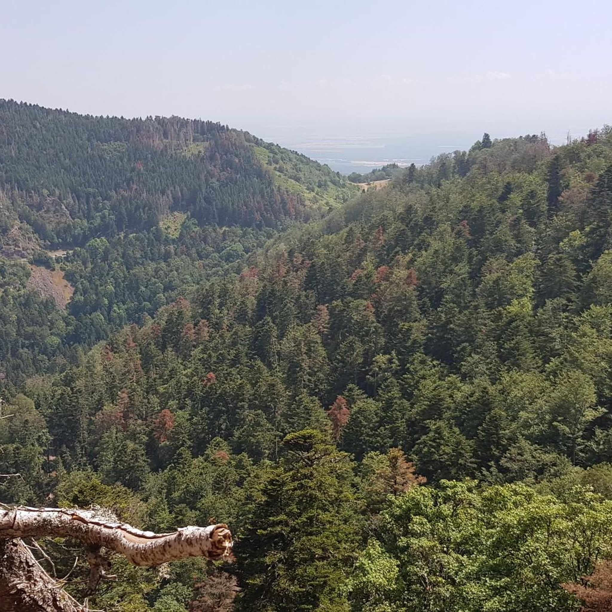
Beautiful rocky viewpoint pointing towards Belacker, Drumont and Tête des Perches
1
0
Rocky viewpoint located in the immediate vicinity of the Hundsdruck pass.
0
0
Frequently Asked Questions
How many running routes are available in Oberburbach?
Oberburbach offers a wide selection of running routes, with over 300 trails available. These range from easy paths to very challenging runs, catering to all fitness levels.
What is the general difficulty level of the running trails in Oberburbach?
The running trails in Oberburbach are predominantly moderate to difficult. There are 17 easy routes, 154 moderate routes, and 135 difficult routes, reflecting the mountainous terrain of the region within the Ballons des Vosges Regional Nature Park.
Are there circular running routes in Oberburbach?
Yes, many of the running routes in Oberburbach are circular, allowing you to start and finish at the same point. For example, the Hundsruck – Vogelstein (Bird Rock) loop from Bourbach-le-Haut is a popular circular trail offering challenging ascents.
What kind of terrain can I expect on the running trails in Oberburbach?
You can expect a diverse and often challenging terrain. Routes traverse dense fir forests, numerous small valleys, and are often characterized by significant elevation changes, ranging from 650 to 1200 meters. The Bourbach stream also winds through the area, adding to the scenic variety.
Are there any easy running routes suitable for beginners in Oberburbach?
While many routes are moderate to difficult, there are 17 easy running routes available in Oberburbach. These trails offer a gentler introduction to running in the region, often with less elevation gain, making them suitable for beginners or those looking for a lighter workout.
Can you recommend a challenging trail run with significant elevation gain?
For a challenging trail run, consider the Teufelskanzel – Col du Hundsruck loop from Bourbach-le-Haut. This difficult 14.9 km path features significant elevation gain and offers scenic views over the surrounding valleys, providing a demanding workout for experienced runners.
Are there running trails that offer panoramic views?
Absolutely. Due to Oberburbach's elevated position within the Vosges mountains, many routes offer breathtaking panoramic views. On clear days, you can see the Alsace plain, and even the majestic Bernese Alps on the horizon. The "Chaumes du Thannerhubel et du Rossberg" route, mentioned in regional research, is known for its 360° views.
What interesting sights or landmarks can I see while running in Oberburbach?
Many running routes pass by or near significant landmarks. You might encounter the historic Hartmannswillerkopf National Monument, or enjoy the tranquility of natural lakes like Lac des Perches (Star Lake) and Neuweiher Lake. The region also features various mountain passes like Hundsruck Pass.
Are dogs allowed on the running trails in Oberburbach?
The Ballons des Vosges Regional Nature Park, where Oberburbach is located, generally welcomes dogs on trails, often requiring them to be on a leash to protect wildlife and ensure the safety of other trail users. It's always best to check specific signage at trailheads for any local restrictions.
Where can I find parking for running trails in Oberburbach?
Parking is generally available at key trailheads and popular starting points in and around Bourbach-le-Haut. Given the area's popularity for outdoor activities, designated parking areas are often provided near access points to the extensive trail network.
Are there places to rest or get refreshments along the running routes?
Yes, the mountainous landscape of Oberburbach features numerous farm-inns and chalets, such as the Ferme-Auberge Gsang. These establishments are often located along or near popular trails, providing welcoming stops for rest and local refreshments.
What do other runners enjoy the most about jogging in Oberburbach?
The running experience in Oberburbach is highly rated by the komoot community, with an average score of 4.4 stars from over 80 reviews. Runners often praise the diverse and challenging mountainous terrain, the dense fir forests, and the scenic valleys that provide a rewarding workout and beautiful natural surroundings.
What is the best time of year for running in Oberburbach?
The best time for running in Oberburbach largely depends on your preference. Spring and autumn offer pleasant temperatures and vibrant scenery. Summer is also popular, though some higher elevation trails might be warmer. Winter running is possible, but trails can be snowy or icy, requiring appropriate gear and caution.
Most popular routes around Oberburbach
Most popular attractions around Oberburbach

Get inspired with the komoot mobile app


Explore more
Browse the best Running Trails & Routes in other regions.
