The best walks and hikes around Dolleren
4.5
(3866)
21,706
hikers
548
hikes
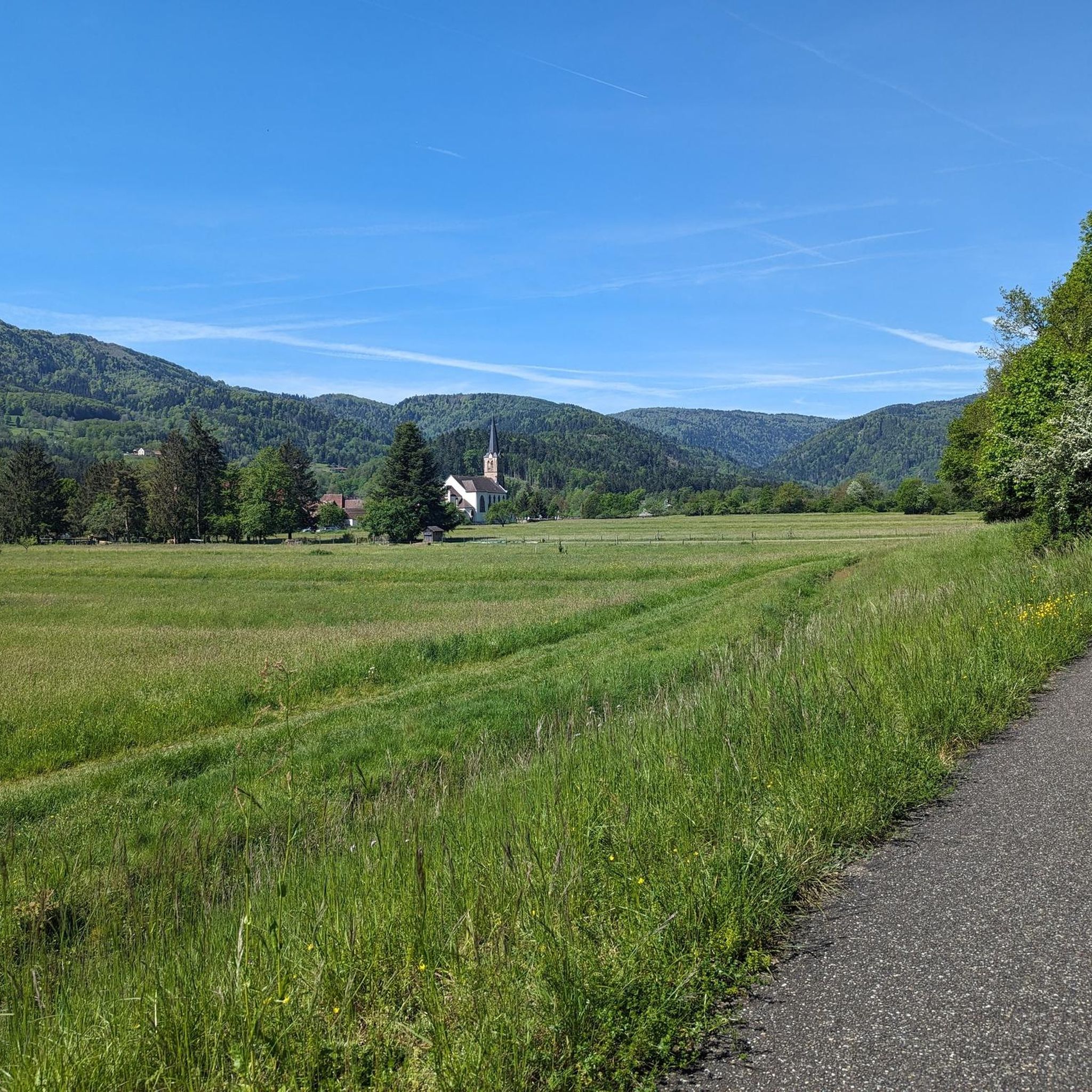
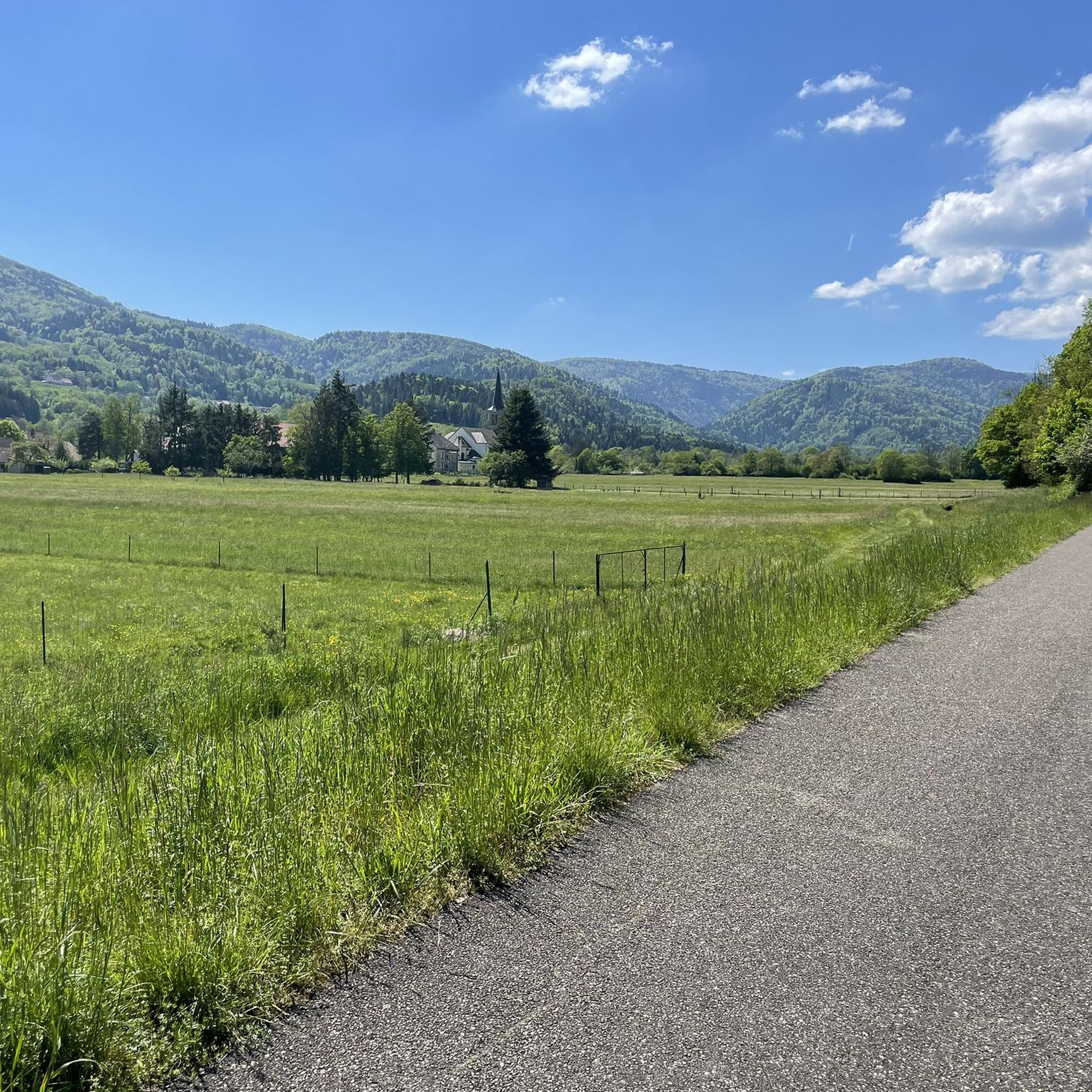
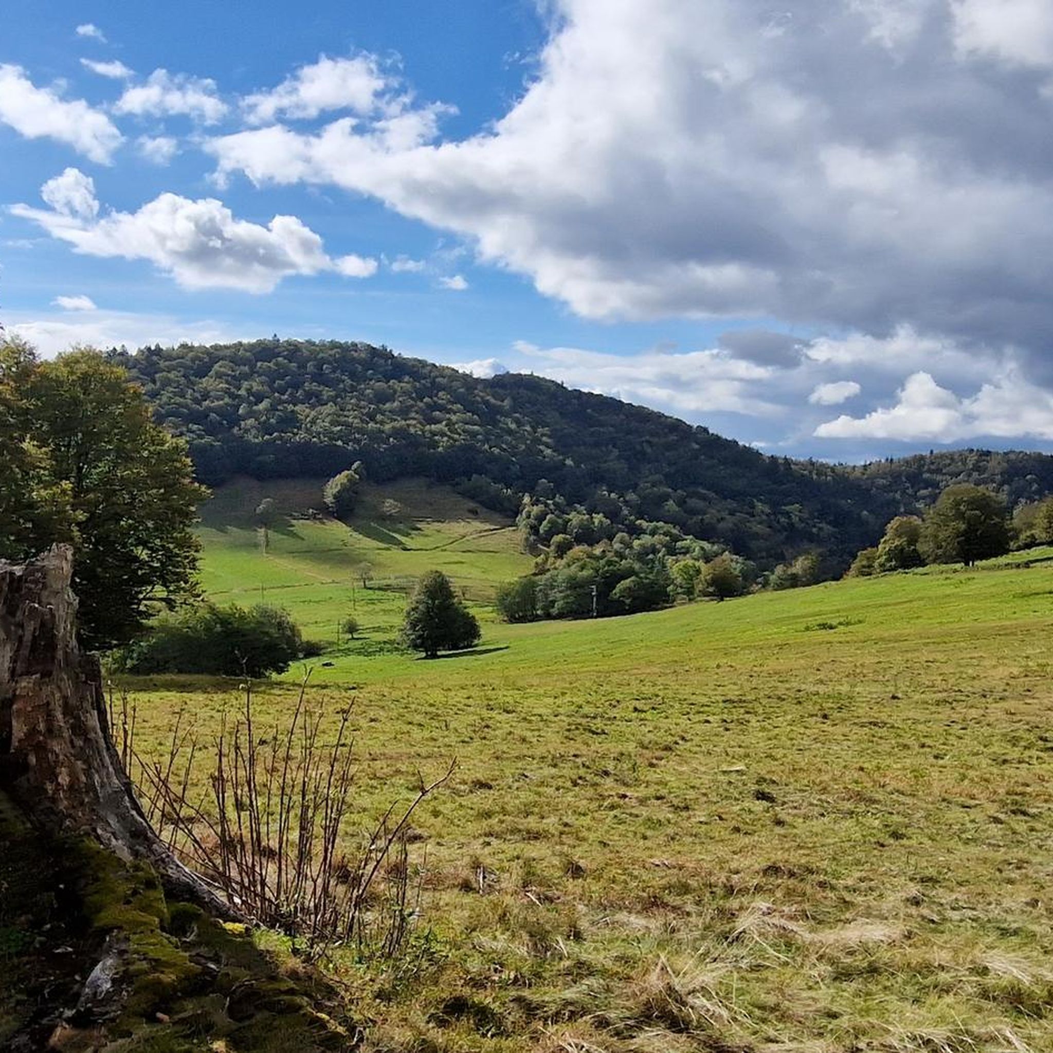
Hiking trails around Dolleren are situated in the Haut-Rhin department of northeastern France, characterized by a diverse landscape. The region features hilly terrain, dense forests, and picturesque valleys, nestled between the Vosges mountains and the plain of Alsace. The Doller river flows through the area, adding to its natural features. This varied topography provides a range of hiking experiences.
Best hiking trails around Dolleren
- The most popular hiking route is Neuweiher Lake – Gresson Moyen Farm Inn loop from Oberbruck…
Last updated: October 14, 2026
4.6
(77)
476
hikers
13.0km
04:24
580m
580m
Hard hike. Good fitness required. Sure-footedness, sturdy shoes and alpine experience required.
4.5
(51)
236
hikers
9.28km
03:07
420m
420m
Moderate hike. Good fitness required. Mostly accessible paths. Sure-footedness required.

4.7
(48)
157
hikers
9.80km
03:13
430m
430m
Moderate hike. Good fitness required. Easily-accessible paths. Suitable for all skill levels.
4.8
(10)
101
hikers
17.5km
06:06
840m
840m
Hard hike. Very good fitness required. Sure-footedness, sturdy shoes and alpine experience required.
4.8
(25)
71
hikers
6.71km
02:12
310m
330m
Moderate hike. Good fitness required. Easily-accessible paths. Suitable for all skill levels.
Get access to more routes and recommendations from other explorers.
Already have an account?
Our route recommendations are based on thousands of hikes, rides, and runs completed by other people on komoot.
Start today with a free account
Your next adventure awaits.


Tips from the Community

The Baerenkopf is a well-known summit in the Masevaux valley. Located on the wooded ridge around 1,000 meters that borders the Territoire de Belfort and Haut-Rhin, it nevertheless reveals a beautiful view of the valley, especially in the months when the vegetation is sparser. A refuge is located right next to it, in a slightly more open landscape.
1
0
The lake is located at 740 meters above sea level, just below the source of the Doller. It is accessible by car, with parking right next to it, and several farm inns are located in the surrounding area. It is a pleasant place for hiking in the Masevaux valley.
0
0
Above the Lachtelweiher lake, the Lochberg farm inn allows you to refuel with good dishes made from products from the farm. Its terrace offers a beautiful view of the valley. There is also a stele in memory of Francis Dollfus, who died skiing at this spot on January 13, 1935. E-MTB riders will also appreciate the charging station provided.
1
0

Chapel from 1875, next to the lake of Sewen.
0
0

Warm kitchen only until 1:30 PM
0
0

Beautiful lake, quietly located, suitable for swimming.
0
0

nice inn with delicious food. especially the breakfast - great. sometimes they grill in the evening. no street nearby - wonderfully quiet
3
0

So beautiful here, with the little lake in the depth and the view of the Alps!
1
0
Frequently Asked Questions
How many hiking trails are available around Dolleren?
There are over 500 hiking trails around Dolleren, offering a wide variety of experiences. These range from easy strolls through valleys to more challenging ascents in the Vosges mountains.
What kind of terrain can I expect on hikes near Dolleren?
The region around Dolleren features diverse terrain, including hilly landscapes, dense forests, and picturesque valleys. You'll find paths winding through the Vosges mountains, offering panoramic views, as well as trails along the Doller river.
Are there any family-friendly hiking options in Dolleren?
Yes, Dolleren offers many trails suitable for families. While specific routes aren't detailed as 'family-friendly' in the data, the region has 120 easy routes that are generally well-suited for all ages. The Graber Discovery Trail, for instance, is recommended for its historical insights and follows an old access road, making it accessible.
Can I bring my dog on the hiking trails around Dolleren?
Generally, dogs are welcome on hiking trails in the Dolleren region, especially in natural areas like the Parc Naturel Régional des Ballons des Vosges. However, it's always advisable to keep them on a leash, particularly in protected areas or near livestock, and to check for any specific local regulations at trailheads.
Are there any circular hiking routes in Dolleren?
Yes, many of the trails around Dolleren are circular routes, perfect for day trips. Examples include the popular Neuweiher Lake – Gresson Moyen Farm Inn loop from Oberbruck and the Lake Alfeld – Lake Sewen loop from Sewen, which connects two beautiful lakes.
What are some notable natural attractions or landmarks to see while hiking?
The Dolleren area is rich in natural beauty. You can discover highlights such as the iconic Ballon d'Alsace, the serene Neuweiher Lake, and the scenic Hundsruck Pass. The Parc Naturel Régional des Ballons des Vosges also offers stunning panoramic views from its rounded mountain peaks.
Are there any waterfalls to visit on hikes near Dolleren?
Yes, the region features several beautiful waterfalls. You can explore trails that lead to the Rummel Waterfalls, the Bubalafels Waterfall, or the Small and Large Seebach Waterfalls, adding a refreshing element to your hike.
What do other hikers say about the trails in Dolleren?
The hiking trails in Dolleren are highly regarded by the komoot community, with an average rating of 4.5 stars from over 3,000 reviews. Hikers often praise the diverse landscapes, the well-maintained paths, and the stunning views of the Vosges mountains and local lakes.
Are there any historical trails or routes that showcase the region's heritage?
Yes, the Graber Discovery Trail is a notable route that allows hikers to explore the agricultural heritage of old Dolleren farmers. It follows an old access road, providing insights into mountain farming landscapes and passing by historical farmhouses.
Is public transport available to reach hiking trailheads in Dolleren?
While Dolleren is a village, public transport options to specific trailheads might be limited. It's generally recommended to check local bus schedules for connections to the main villages in the Doller Valley. For more remote starting points, personal transport is often more convenient.
Are hiking permits required for trails in Dolleren?
No, hiking permits are generally not required for the trails around Dolleren or within the Parc Naturel Régional des Ballons des Vosges. You are free to explore the numerous paths at your leisure.
Where can I find parking for hiking trails in Dolleren?
Parking is typically available in or near the villages that serve as starting points for hikes, such as Oberbruck or Sewen. Look for designated parking areas in these communities, which often provide access to popular trailheads.
Are there any challenging mountaineering routes in the area?
Yes, for experienced hikers seeking a challenge, the region offers more strenuous options. Routes like the 'Via ferrata – The beginning loop from Fontaine Minerale' provide a mountaineering experience, and the Neuweiher Lake – View of Rimbach-près-Masevaux loop from Oberbruck is classified as difficult, with significant elevation changes.
Most popular routes around Dolleren
Most popular attractions around Dolleren

Get inspired with the komoot mobile app


Explore more
Browse the best Hikes in other regions.
