The best running trails around Murianette
4.4
(980)
52,497
runners
618
runs
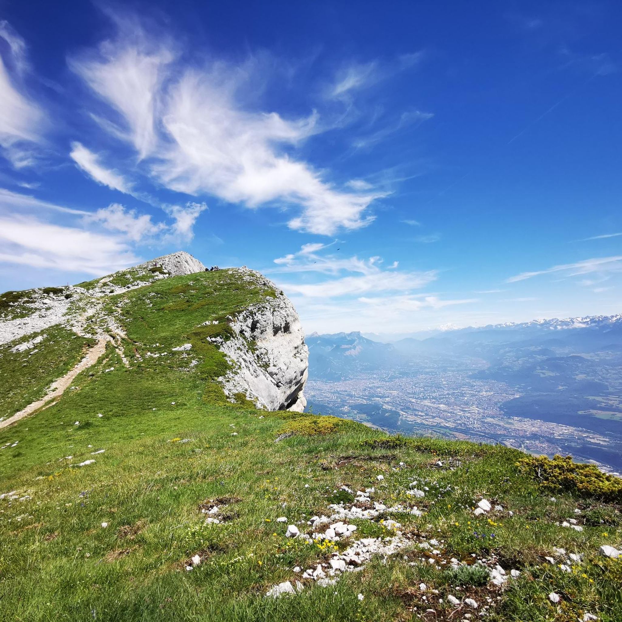
Jogging around Murianette offers access to diverse landscapes in the Isère department of the Auvergne Rhône-Alpes region. The area features a mix of mountainous terrain, riverbanks, and extensive forests, providing varied running experiences. Runners can explore paths along the Isère River, through the Combeloup Forest, or on trails leading to higher elevations. This natural setting provides numerous routes suitable for different fitness levels.
Best jogging routes around Murianette
- The most popular jogging route is Chemin des Agriculteurs loop from Montbonnot-Saint-Martin…
Last updated: August 7, 2026
104
runners
7.63km
00:51
10m
10m
Moderate run. Good fitness required. Mostly paved surfaces. Suitable for all skill levels.
5.0
(1)
68
runners
6.33km
00:39
10m
10m
Moderate run. Good fitness required. Mostly paved surfaces. Suitable for all skill levels.

Sign up for free
74
runners
5.41km
00:34
0m
0m
Moderate run. Good fitness required. Mostly paved surfaces. Suitable for all skill levels.
61
runners
6.18km
00:46
10m
10m
Hard run. Good fitness required. Sure-footedness, sturdy shoes and alpine experience required.
5.0
(1)
56
runners
7.15km
00:44
20m
20m
Moderate run. Good fitness required. Mostly paved surfaces. Suitable for all skill levels.
Get access to more routes and recommendations from other explorers.
Sign up for free
Already have an account?
Our route recommendations are based on thousands of hikes, rides, and runs completed by other people on komoot.
Start today with a free account
Your next adventure awaits.
Login or Signup
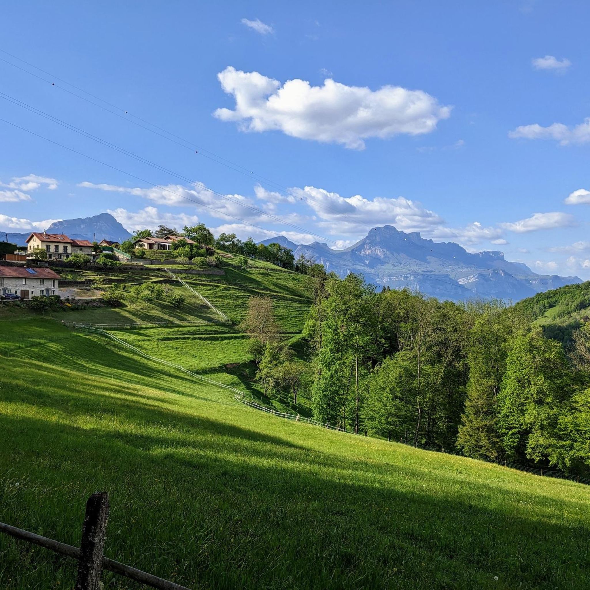
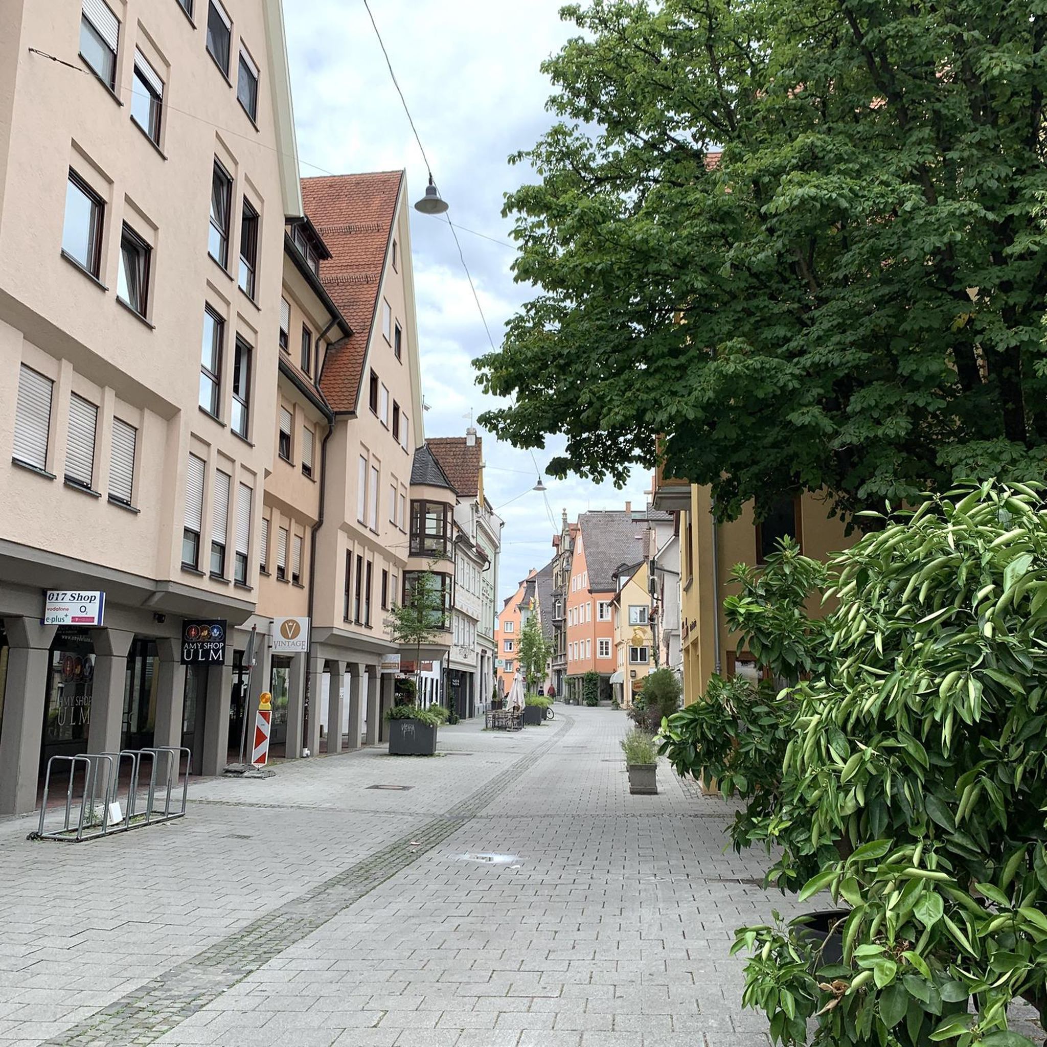
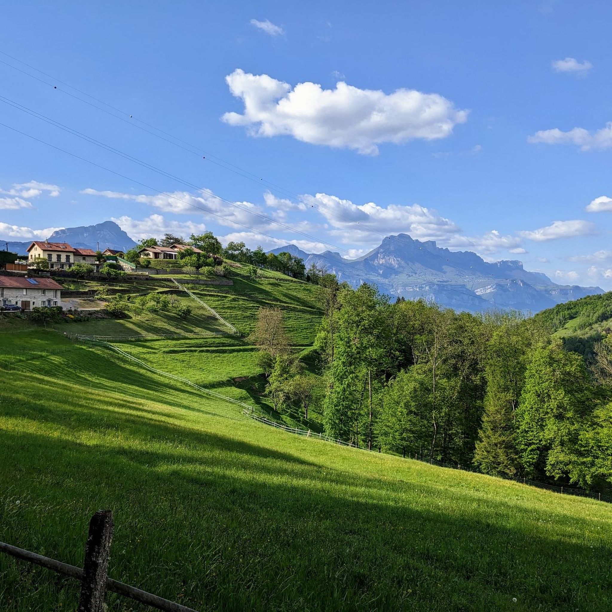
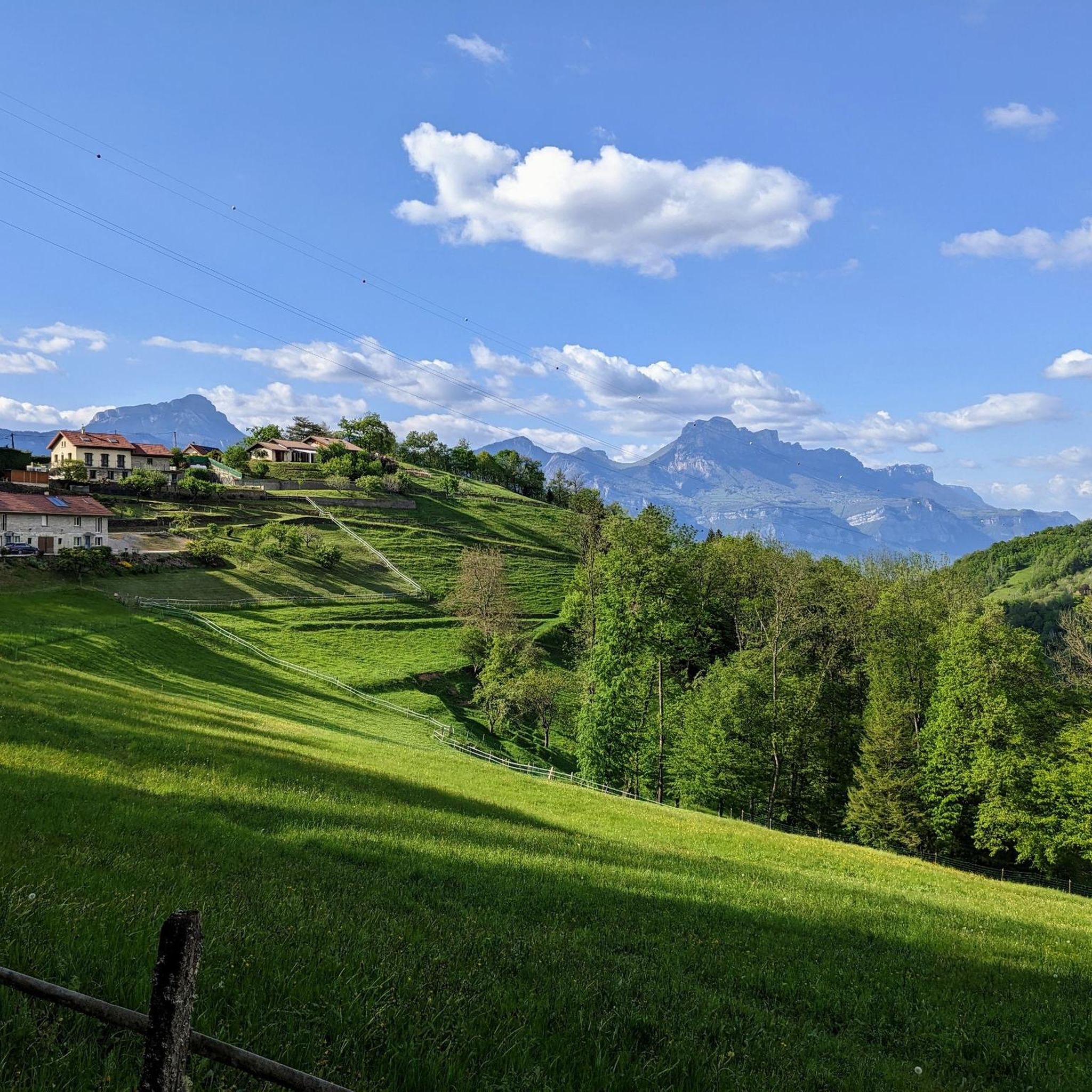
Tips from the Community

This is one of the most beautiful sections of the Drac and Isère greenways around Grenoble. In spring, it smells of hay, I love it.
0
0

Beautiful asphalt along the river with a nice view of the Belledonne massif. ideal for flat walks with the family or more muscular training (high attendance at work and Sunday schedules).
4
1
Frequently Asked Questions
What kind of running routes can I find around Murianette?
Murianette offers a diverse range of running experiences, from gentle paths along the Isère River to more challenging trails through forests and up mountainous backdrops. You'll find routes suitable for various fitness levels, including options in the Combeloup Forest and paths with views of the Vercors Massif.
Are there many running trails in the Murianette area?
Yes, the Murianette area boasts a significant number of running trails. There are over 500 routes available, catering to a wide range of preferences and fitness levels.
Are there any easy or beginner-friendly running routes in Murianette?
Absolutely. Murianette offers over 30 easy running routes, perfect for beginners or those looking for a relaxed jog. These often feature minimal elevation gain, such as the Chemin des Agriculteurs loop from Meylan, which is 5.4 km long with very little ascent.
What are some options for more advanced or challenging running routes?
For experienced runners seeking a challenge, Murianette has over 280 difficult routes. These trails often involve significant elevation changes and cover more rugged terrain, offering rewarding views of the surrounding mountains like Chamechaude or La Croix de Chamrousse Summit.
Can I find circular running routes in Murianette?
Yes, many of the running routes around Murianette are circular, allowing you to start and finish in the same location. An example is the Running loop from Domène, which is a moderate 6.3 km path.
Are there any running routes suitable for families with children?
While specific 'family-friendly' designations aren't always available, many of the easier and moderate routes with less elevation are suitable for families. Look for paths along the Isère River or within the Combeloup Forest, which offer gentler gradients and pleasant scenery.
What kind of natural attractions or landmarks can I see while running in Murianette?
The region is rich in natural beauty. You can run past serene bodies of water like Lake Achard or Lake Crozet, or enjoy views of impressive peaks such as Chamechaude and La Croix de Chamrousse Summit. The Combeloup Forest also offers a refreshing environment with numerous streams.
Are there dog-friendly running routes in the Murianette area?
Many natural trails in the Murianette region are suitable for running with dogs, provided they are kept under control, especially in areas with wildlife or livestock. It's always best to check local regulations for specific trails or protected areas.
What do other runners say about the trails in Murianette?
The running routes in Murianette are highly rated by the komoot community, with an average score of 4.4 stars from over 740 reviews. Runners often praise the varied terrain, from river paths to forest trails, and the stunning mountainous backdrops that make for a scenic and enjoyable experience.
Are there any running routes that pass by lakes or rivers?
Yes, the presence of the Isère River and nearby lakes provides excellent options. You can find routes like the Chemin des Agriculteurs – Between Lake and River loop from Meylan, which offers picturesque views of both water features.
Is there parking available near the running trails in Murianette?
Given Murianette's proximity to Grenoble and its popularity for outdoor activities, many trailheads and starting points for routes will have designated parking areas. It's advisable to check the specific route details on komoot for parking information related to your chosen trail.
How long are the running routes around Murianette typically?
The routes vary significantly in length. You can find shorter jogs, such as the Chemin des Agriculteurs loop from Montbonnot-Saint-Martin at 7.6 km, which takes about 51 minutes, up to much longer and more challenging trails in the mountainous areas.
Most popular routes around Murianette
Most popular attractions around Murianette

Get inspired with the komoot mobile app


Explore more
Browse the best Running Trails & Routes in other regions.
