The best walks and hikes around Häsingen
4.5
(4035)
28,627
hikers
1,337
hikes
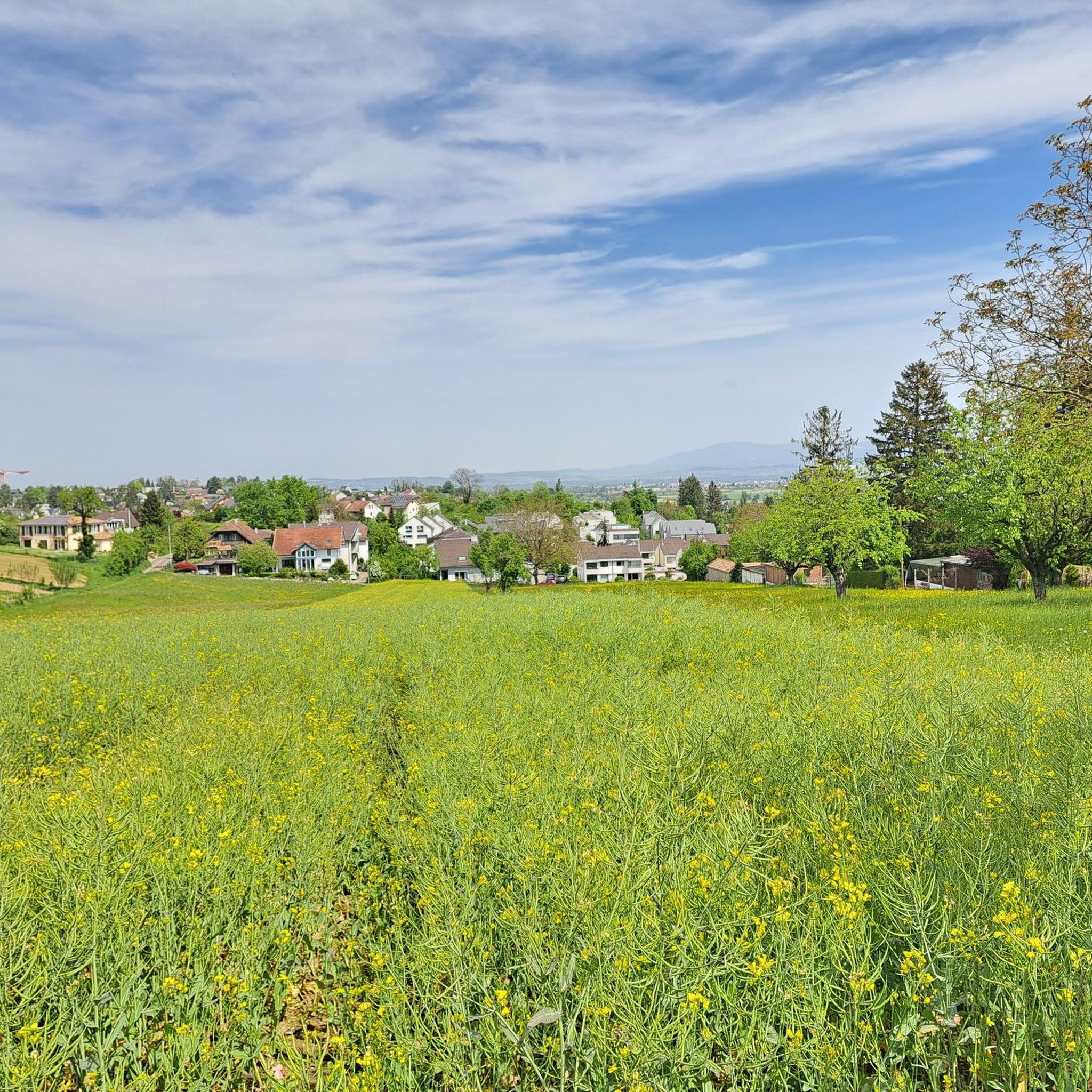
Hiking around Häsingen offers a network of trails characterized by low elevation changes, suggesting a predominantly flat or gently undulating landscape. The region's hiking trails often follow river courses, such as the Rhine, and pass through areas with natural features like bird sanctuaries and botanical gardens. The terrain is generally accessible, with routes suitable for various fitness levels.
Best hiking trails around Häsingen
- The most popular hiking route is BotanicalGarden – Rhine water loop from Saint-Louis La Chaussée, a…
Last updated: October 4, 2026
5.0
(2)
20
hikers
10.7km
02:51
110m
110m
Moderate hike. Good fitness required. Easily-accessible paths. Suitable for all skill levels.
16
hikers
6.58km
01:49
110m
110m
Easy hike. Great for any fitness level. Easily-accessible paths. Suitable for all skill levels.

4.0
(1)
9
hikers
4.75km
01:16
60m
60m
Easy hike. Great for any fitness level. Easily-accessible paths. Suitable for all skill levels.
5.0
(1)
8
hikers
7.32km
01:52
30m
30m
Easy hike. Great for any fitness level. Easily-accessible paths. Suitable for all skill levels.
9
hikers
18.7km
04:53
120m
120m
Moderate hike. Good fitness required. Easily-accessible paths. Suitable for all skill levels.
Get access to more routes and recommendations from other explorers.
Already have an account?
Our route recommendations are based on thousands of hikes, rides, and runs completed by other people on komoot.
Start today with a free account
Your next adventure awaits.
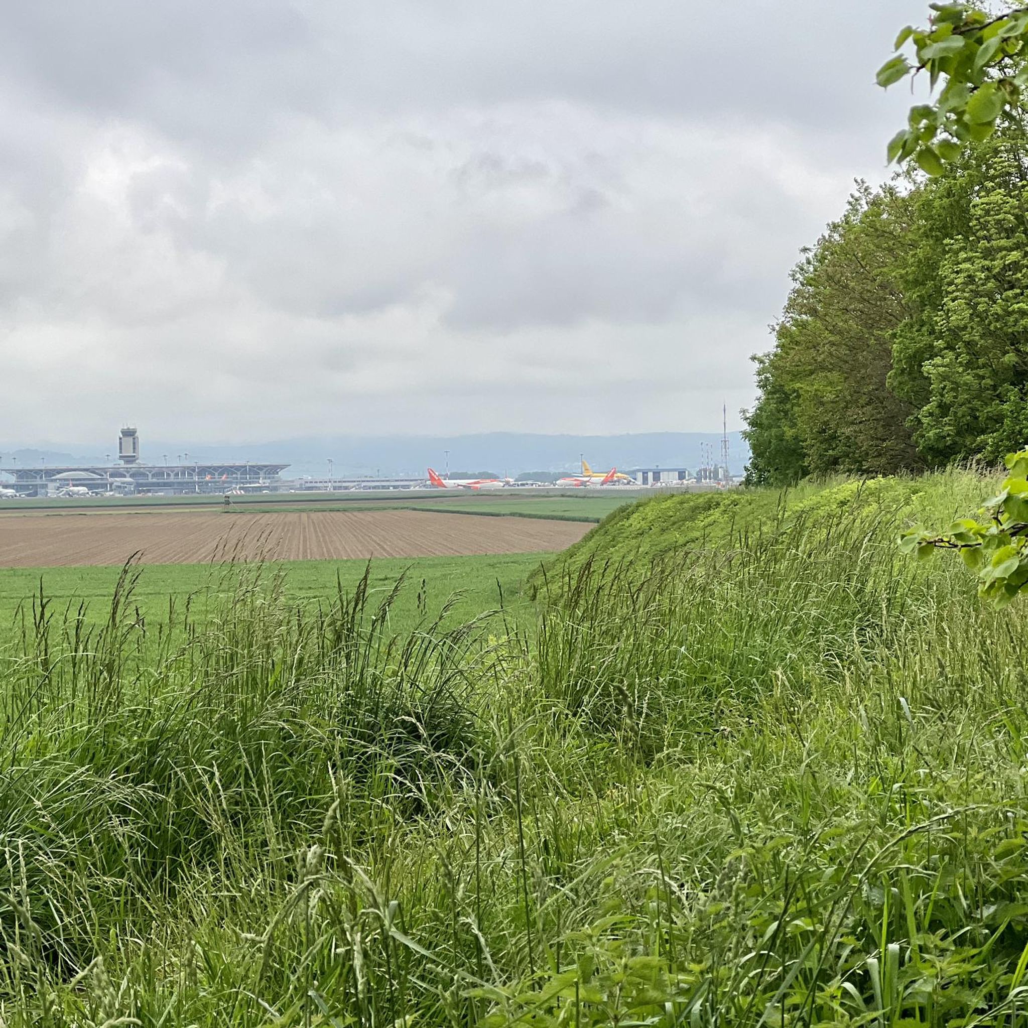
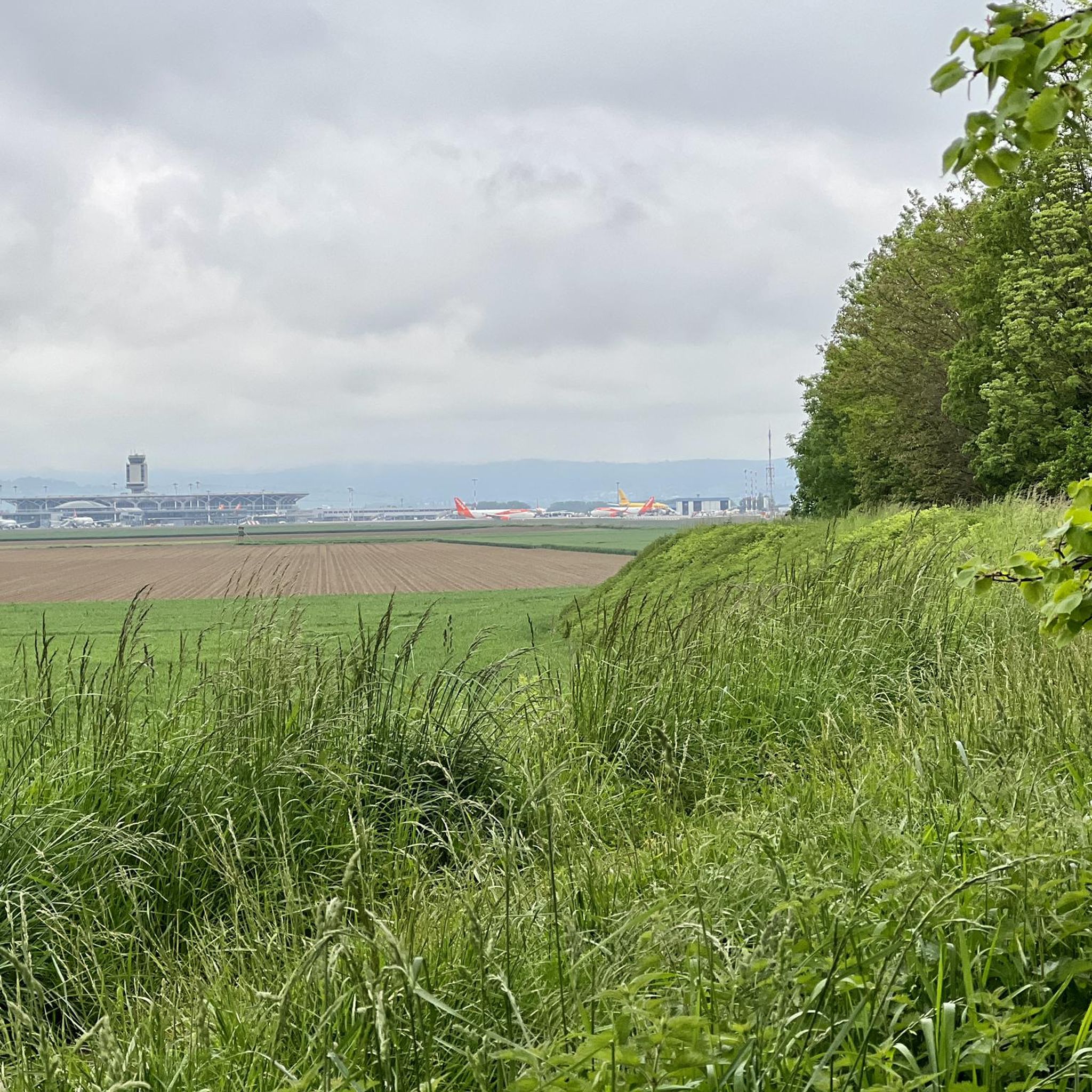
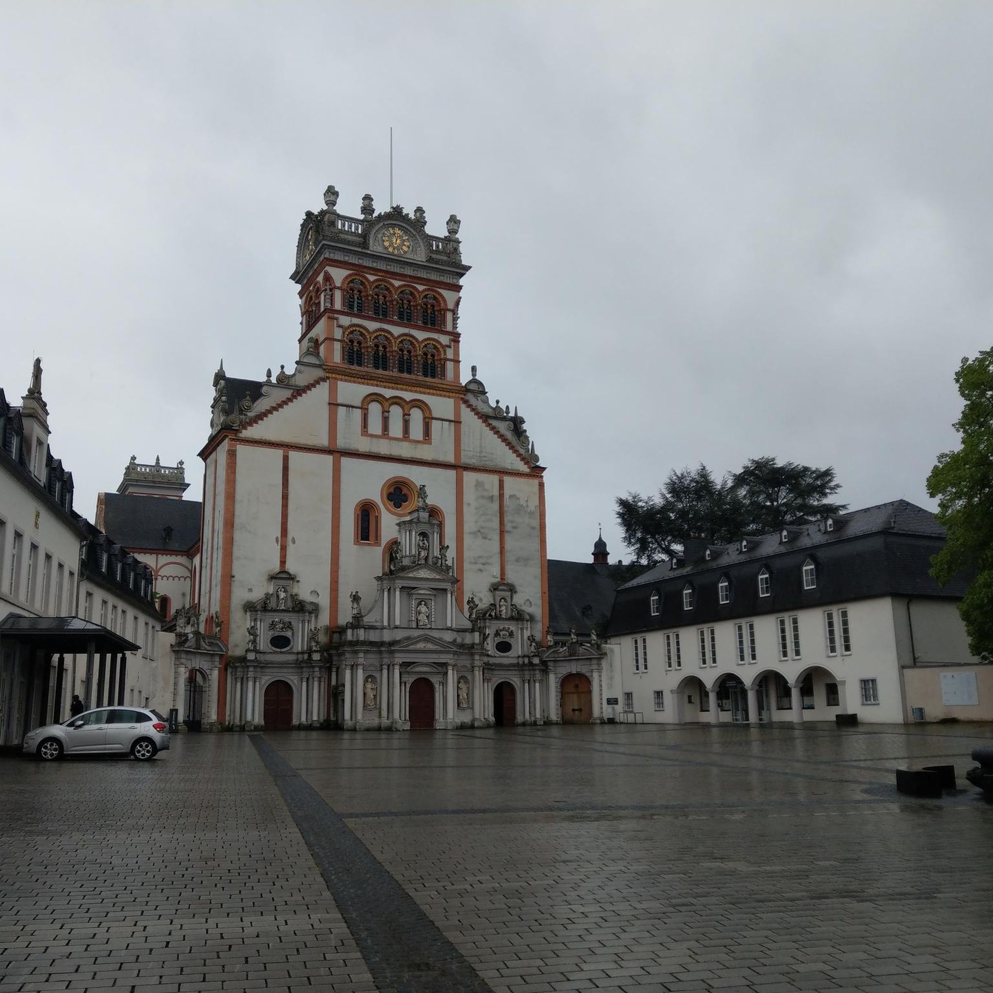
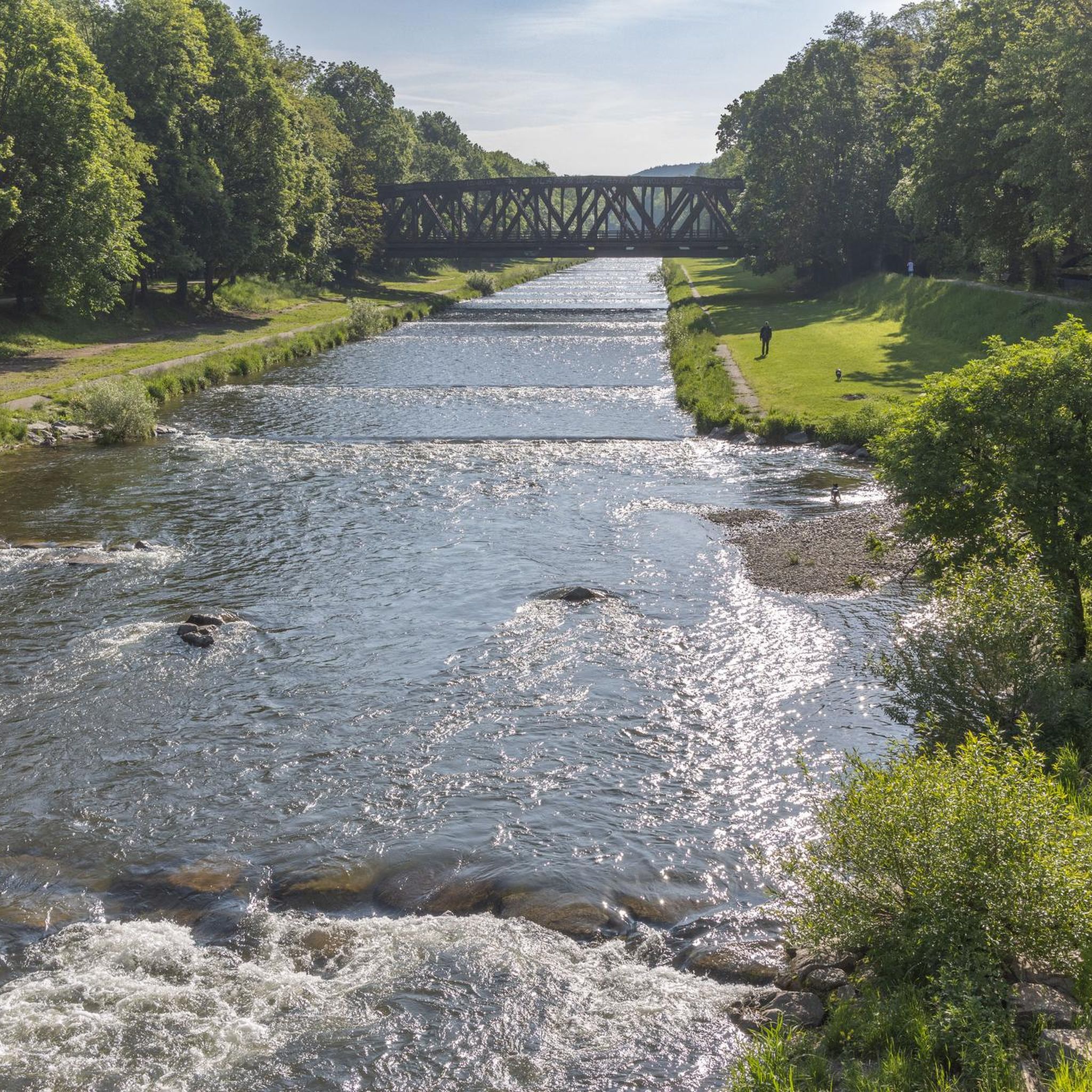
Tips from the Community

Beautiful fountain in the old town of Basel
2
0
Beautiful place in Münster. Fountain and trees.
1
0

Small, almost permanent waterfall, ideal place to cool your dog during the summer heat
0
0

The current fountain with its limestone trough was moved to this spot in 1846. Sculpture: On the fountain base is a basilisk, the coat of arms of the city of Basel, holding a shield.
3
0

It's fascinating how easy a border crossing can be.
2
0

nice that it is actually not visible
0
0

Very nice square in front of the cathedral.
1
0
Beautiful view of the Rhine and the Mittlere Brücke in Basel.
2
0
Frequently Asked Questions
How many hiking trails are available around Häsingen?
There are over 1,200 hiking trails around Häsingen, offering a wide variety of options for different preferences and fitness levels. The komoot community has explored more than 25,000 of these routes.
What are the typical difficulty levels for hiking trails in Häsingen?
The hiking trails around Häsingen are predominantly easy to moderate. You'll find over 850 easy routes, more than 340 moderate trails, and a smaller selection of about 27 difficult routes, ensuring options for all abilities.
What kind of landscape can I expect while hiking around Häsingen?
Häsingen's hiking landscape is characterized by low elevation changes, making for mostly flat or gently undulating terrain. Many routes follow river courses, such as the Rhine, and pass through natural areas like bird sanctuaries and botanical gardens. The terrain is generally accessible and pleasant for walking.
Are there family-friendly hiking options in Häsingen?
Yes, Häsingen offers many family-friendly hiking options, largely due to the accessible terrain and low elevation changes. Easy routes like the Bird paradise – Georges Muller Observatory loop from EuroAirport Basel-Mulhouse-Freiburg are ideal for families, offering views of local birdlife on flat paths.
Can I find circular hiking routes in Häsingen?
Many of the hiking trails around Häsingen are circular routes, perfect for starting and ending your hike at the same point. Examples include the BotanicalGarden – Rhine water loop from Saint-Louis La Chaussée, which offers gentle elevation gain along the Rhine.
What natural features or attractions can I discover on hikes near Häsingen?
Hikes near Häsingen often feature riverine paths and accessible natural areas. You can discover highlights such as the Istein Rapids, the unique Isteiner Klotz and the Cliff Chapel, and the serene Garden of the Old University Terrace and Pavilion.
Are there any good viewpoints along the hiking trails?
Yes, for panoramic views, consider routes that lead to the View of Basel, Lörrach, and the tri-border region from Tüllinger Höhe. This viewpoint offers expansive vistas of the surrounding landscape.
Are hiking trails around Häsingen suitable for dogs?
Generally, the low elevation and natural settings of Häsingen's trails make them suitable for dogs. Always ensure your dog is on a leash where required, especially in nature reserves or near wildlife, and carry water for both of you.
When is the best time of year to go hiking in Häsingen?
Given the low elevation and accessible terrain, hiking in Häsingen is enjoyable year-round. Spring brings blooming flora, summer offers pleasant riverside walks, autumn showcases colorful foliage, and even winter can be beautiful for crisp, clear walks, though some paths might be muddy.
What do other hikers enjoy the most about hiking in Häsingen?
The area is highly rated by the komoot community, with an average score of 4.5 stars from over 3,300 reviews. Hikers often praise the accessible riverine paths, the variety of natural areas, and the well-maintained trails that cater to different ability levels.
Are there any longer, moderate hikes available?
Yes, for a longer moderate hike, you could explore the Georges Muller Observatory – Bird paradise loop from Saint-Louis La Chaussée. This route covers approximately 12.7 km with gentle elevation changes, offering a good balance of distance and accessibility.
Can I combine urban exploration with nature on a hike?
Absolutely. The View from the Dreirosen Bridge – Dreiland Poets' Trail loop from Basel St. Johann is an excellent option, leading you through both urban areas and green spaces, offering a diverse experience.
Are there any trails with slightly more elevation gain for a bit of a challenge?
While most trails have low elevation, the Allschwil Village Church – Allschwil Pond loop from Basel St. Johann offers a moderate challenge with approximately 112 meters of elevation gain over its 13.7 km distance, providing a more varied workout.
Most popular attractions around Häsingen

Get inspired with the komoot mobile app


Explore more
Browse the best Hikes in other regions.
