The 2 Most Amazing Peaks around Bartenheim
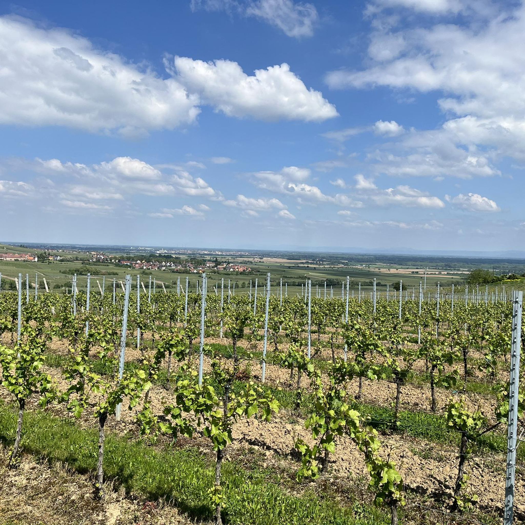
Mountain peaks near Bartenheim are characterized by an undulating landscape of hills rather than towering summits directly within the commune. The region, situated in the Haut-Rhin department of Alsace, France, offers numerous elevated areas for walks. These locations provide scenic views of the surrounding countryside, including distant mountain ranges like the Vosges and the Black Forest. Bartenheim itself has an average elevation of 274 meters.
Best mountain peaks around Bartenheim
- The most popular mountain peaks is Daur Hut, Tüllinger Hill…
Last updated: August 23, 2026
Spalentor City Gate
Highlight • Monument
Translated by Google •
Tip by

Peace Bridge
Highlight • Bridge
Translated by Google •
Tip by
Sign up now to discover places like this
Get recommendations on the best single tracks, peaks, & plenty of other exciting outdoor places.
Sign up for free
Daur Hut, Tüllinger Hill
Highlight • Mountain Hut
Translated by Google •
Tip by

Schlaichturm (observation tower)
Highlight • Viewpoint
Translated by Google •
Tip by
Start today with a free account
Your next adventure awaits.
Login or Signup
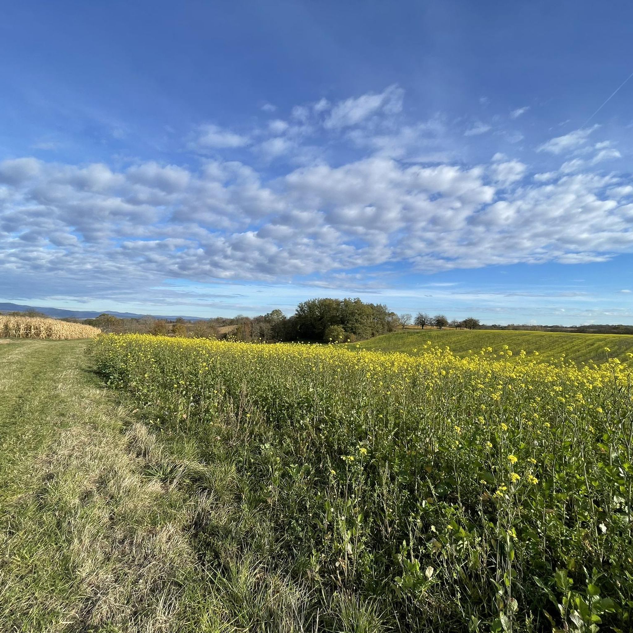
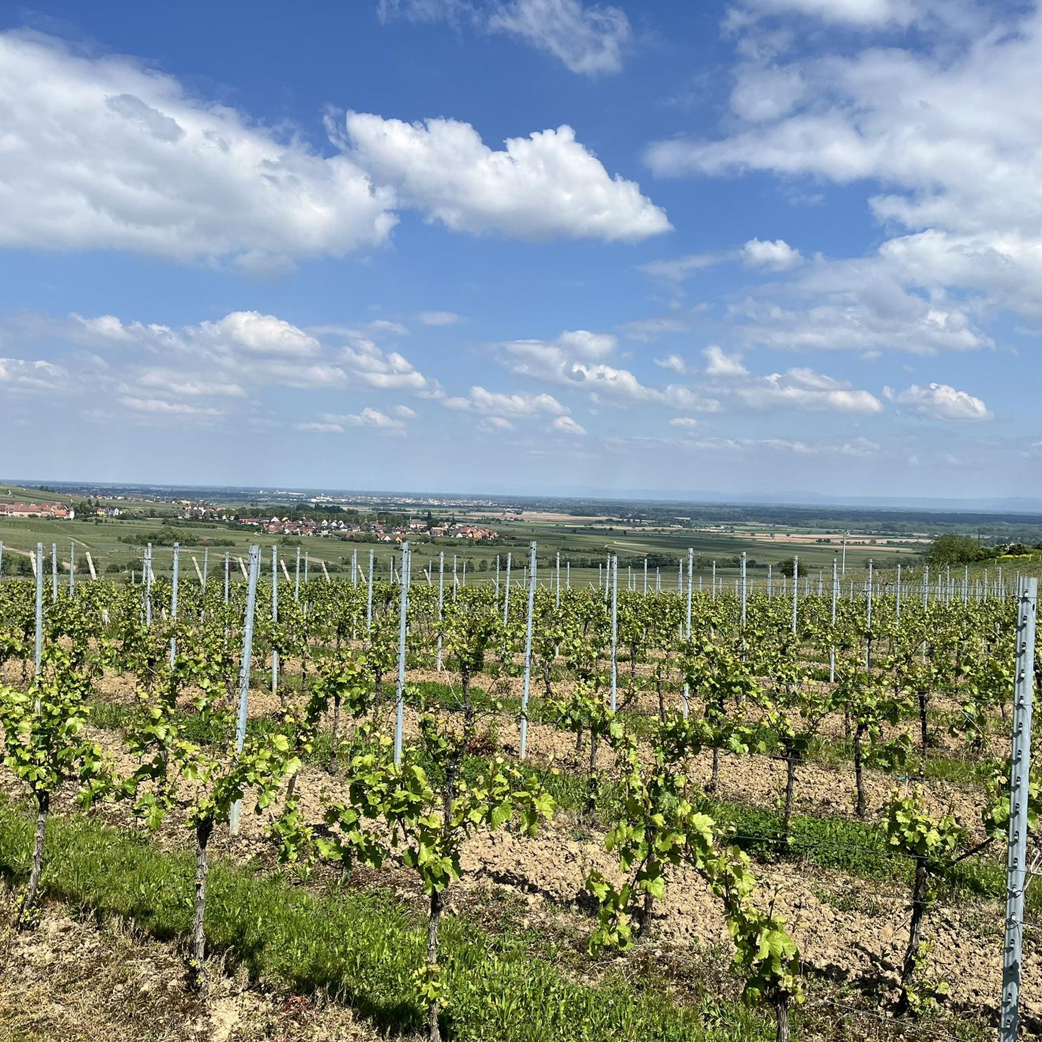
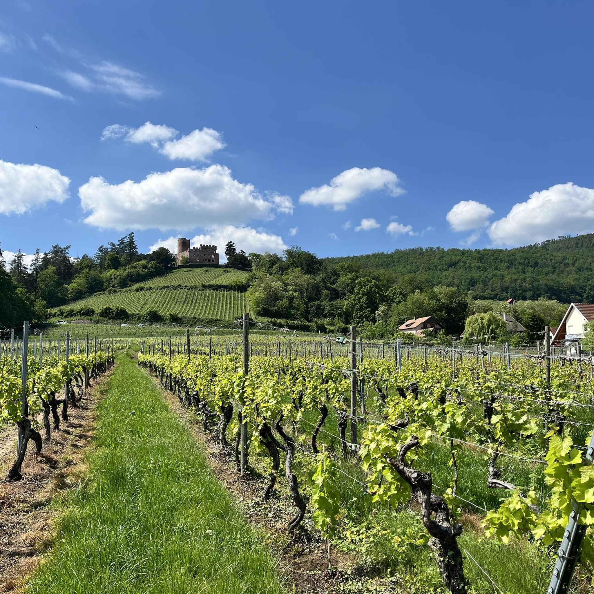
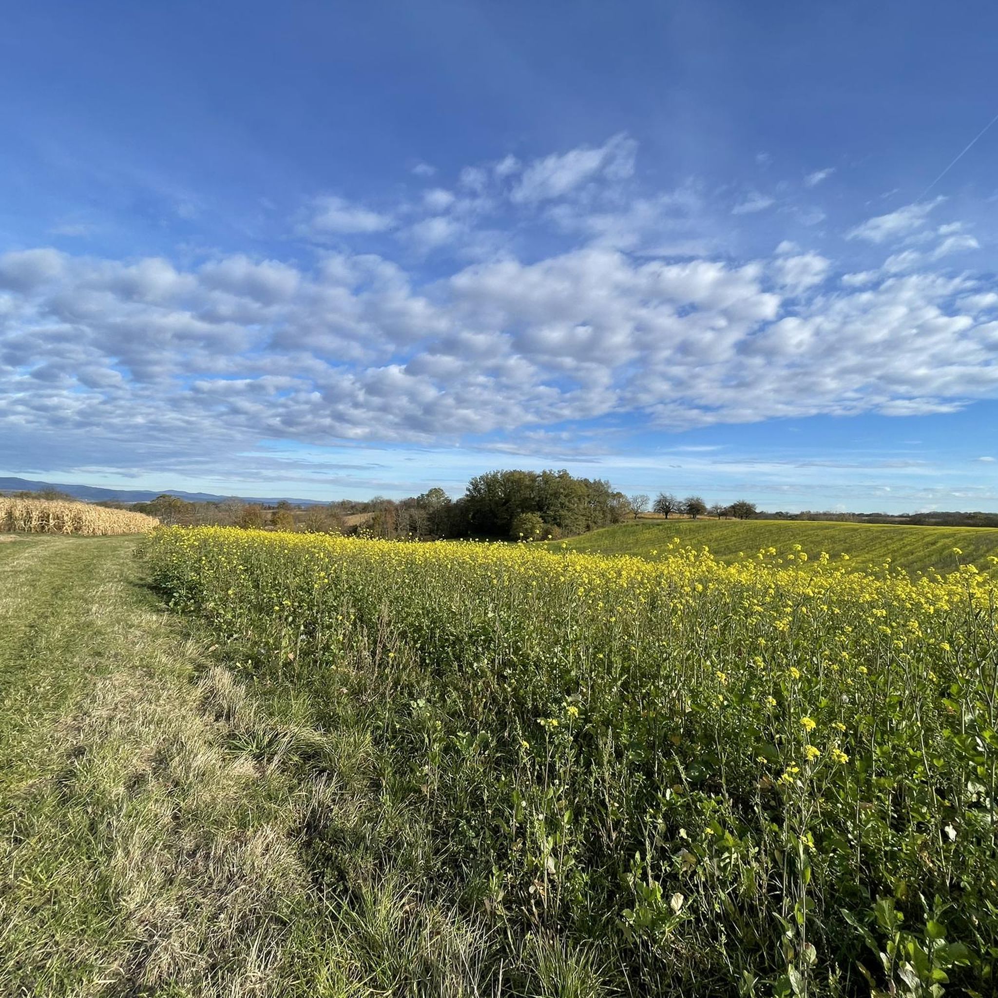

Tips from the Community

It's beautifully situated on the edge of the forest, with a barbecue area.
1
0

Well done, but unfortunately it doesn't work in summer 2025 at 32 degrees 😡
0
0

Always a highlight up here with a great view
1
0
Steel structure overlooking the landscape park meadow
0
0

Nice rest area with a great view
2
0

Surprise: If you come from the north and therefore from above, you will be amazed by its respectable height and the beautiful spiral that leads downwards.
1
0

The customs regulations are conveniently posted in the gate.
4
1

A city gate was probably built here before 1398
4
1
Frequently Asked Questions
What kind of 'peaks' can I explore around Bartenheim?
While Bartenheim itself is characterized by hills rather than towering mountains, the 'peaks' in this region refer to elevated areas, viewpoints, and significant landmarks that offer panoramic views. These include hills like Tüllinger Hill, and man-made structures such as the Schlaichturm (observation tower), which provide excellent vantage points over the surrounding landscape, including distant views of the Vosges and Black Forest.
Are there family-friendly elevated areas or viewpoints near Bartenheim?
Yes, several elevated areas are suitable for families. The Daur Hut on Tüllinger Hill and the broader area of Daurhütte and view of the Wiesental from Tüllinger Berg are noted as family-friendly, offering pleasant walks and great views. The Brestenberg Hill, located between Bartenheim and Brinckheim, also provides family-friendly walks through fields and forests.
What natural features can I expect to see from these elevated points?
From the elevated areas around Bartenheim, you can enjoy expansive views of the surrounding countryside, including fields, forests, and streams. Distant mountain ranges like the Vosges, the Black Forest, and even the Jura mountains are often visible on clear days. The Daurhütte on Tüllinger Berg, for instance, offers views towards the Wiesental.
Are there historical sites or cultural landmarks among the 'summits'?
Yes, some of the significant elevated points or landmarks have historical importance. The Spalentor City Gate in nearby Basel is a historic city gate and a listed building, considered one of Switzerland's most beautiful. The Peace Bridge in Weil am Rhein, while not a natural peak, is a significant historical bridge rebuilt after WWII.
What outdoor activities can I do near these elevated areas?
The region around Bartenheim offers various outdoor activities. You can find numerous trails for walking and hiking, particularly around the Grand and Petit Schneckenberg (Snail Hills) and Brestenberg Hill. For more structured activities, explore the many options for hiking around Bartenheim, gravel biking, or running trails.
Are there specific hiking trails to reach these viewpoints?
Yes, there are many trails. For example, the Schlierbach Hills offer a family hike along the Sentier des Croix to the Chapelle des Malgré-nous, leading to the Sentier des Deux Chênes with wooden sculptures. The Grand and Petit Schneckenberg also feature a multitude of trails for walks, with options for 10 or 13 km routes. You can find detailed routes in the hiking guide for Bartenheim.
What do visitors enjoy most about the elevated areas around Bartenheim?
Visitors frequently highlight the peaceful atmosphere, the scenic views, and the accessibility of the trails. The Daur Hut on Tüllinger Hill is particularly popular for its great views and as a rest area, sometimes even with a fire for grilling. The Schlaichturm is praised for its fantastic panoramic views of the Basel country and the Rhine plain.
Can I bring my dog on hikes to these viewpoints?
Yes, many of the trails and elevated areas around Bartenheim are dog-friendly. For instance, the area around the Daurhütte and Tüllinger Berg is noted as dog-friendly, making it a great option for walks with your canine companion.
What is the best time of year to visit the elevated areas around Bartenheim?
The undulating landscape and accessible hills around Bartenheim can be enjoyed throughout much of the year. Spring and autumn offer pleasant temperatures and beautiful scenery with blooming flowers or colorful foliage. Summer is also suitable, especially for early morning or late afternoon walks. Even in winter, if conditions allow, the views can be quite striking.
Are there any facilities or places to rest near these elevated points?
Yes, some locations offer facilities. The Daur Hut on Tüllinger Hill is a small rest area, often with a fire for grilling. The broader area of Daurhütte and view of the Wiesental from Tüllinger Berg also provides facilities, making it a comfortable spot for a break during your walk.
How accessible are these elevated areas for different fitness levels?
The hills and viewpoints around Bartenheim generally offer accessible options for various fitness levels. Many trails are suitable for pleasant walks, such as those on the Grand and Petit Schneckenberg or Brestenberg Hill. While the Schlaichturm is an observation tower, the paths leading to it are typically manageable. The Peace Bridge is also noted as wheelchair accessible.
Most popular routes around Bartenheim
Most popular attractions around Bartenheim

Get inspired with the komoot mobile app


Explore more
See even more amazing summits around Bartenheim with these guides:
