The best walks and hikes around Linars
4.6
(387)
2,482
hikers
178
hikes
Hiking around Linars offers trails through the gentle, pastoral landscapes of the Charente department in southwestern France. The region is characterized by the tranquil Charente river and the Nouère stream, with terrain ranging from 25 to 82 meters in elevation. This area features a blend of French countryside, including vineyards, woods, and meadows, providing varied walking experiences.
Best hiking trails around Linars
- The most popular hiking route is Greenway loop from Charente, a 4.3 miles (6.9 km) trail that…
Last updated: October 14, 2026
3.7
(3)
21
hikers
6.95km
01:46
20m
20m
Easy hike. Great for any fitness level. Easily-accessible paths. Suitable for all skill levels.
4.8
(4)
17
hikers
11.1km
02:55
90m
90m
Moderate hike. Good fitness required. Easily-accessible paths. Suitable for all skill levels.

5.0
(3)
15
hikers
12.0km
03:09
90m
90m
Moderate hike. Good fitness required. Easily-accessible paths. Suitable for all skill levels.
5.0
(2)
13
hikers
11.6km
02:58
30m
30m
Moderate hike. Good fitness required. Easily-accessible paths. Suitable for all skill levels.
5.0
(2)
5
hikers
6.81km
01:44
20m
20m
Easy hike. Great for any fitness level. Easily-accessible paths. Suitable for all skill levels.
Get access to more routes and recommendations from other explorers.
Already have an account?
Our route recommendations are based on thousands of hikes, rides, and runs completed by other people on komoot.
Start today with a free account
Your next adventure awaits.

Tips from the Community

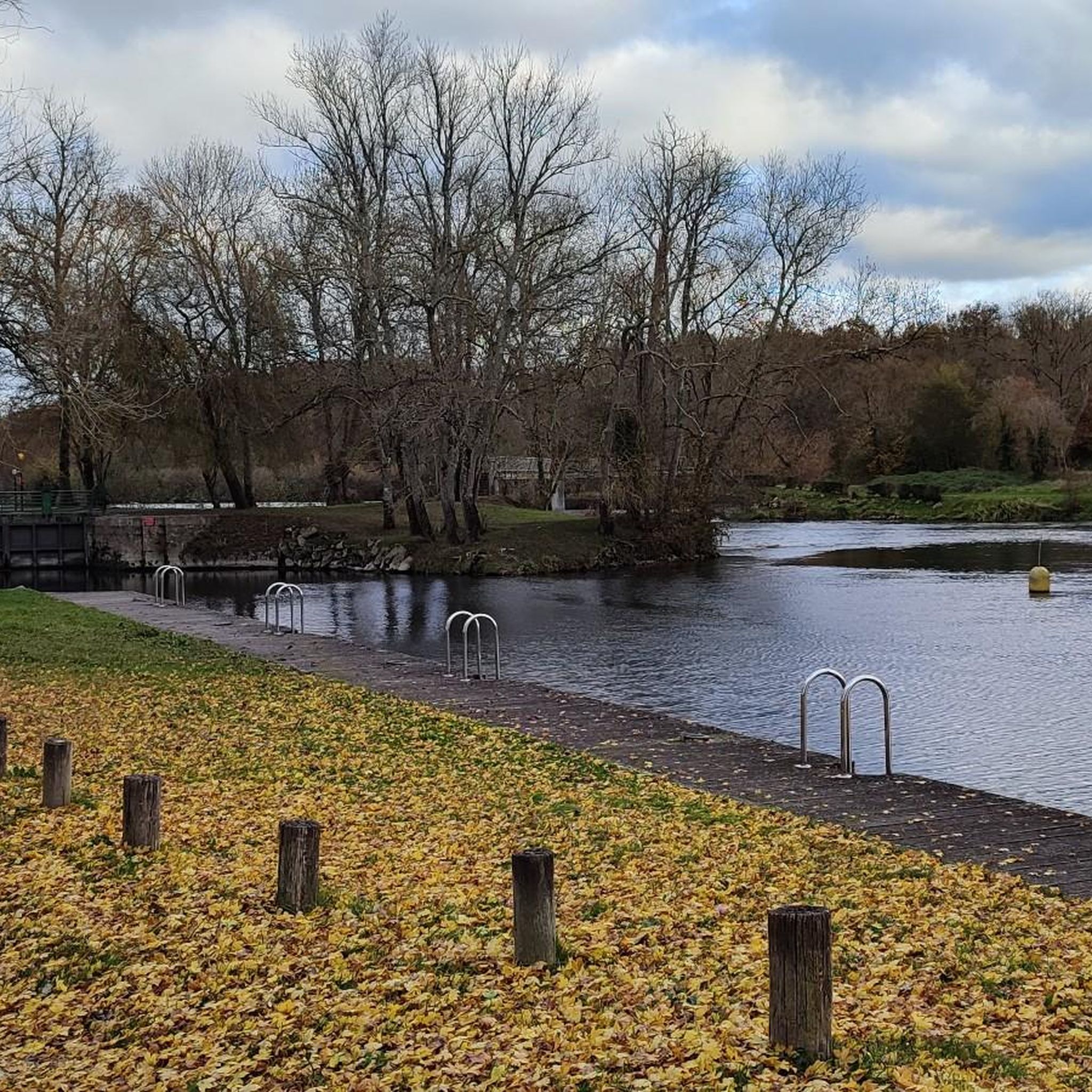
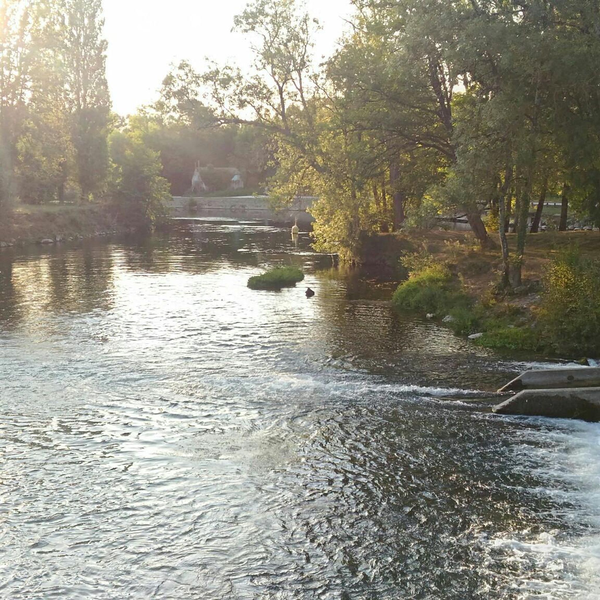
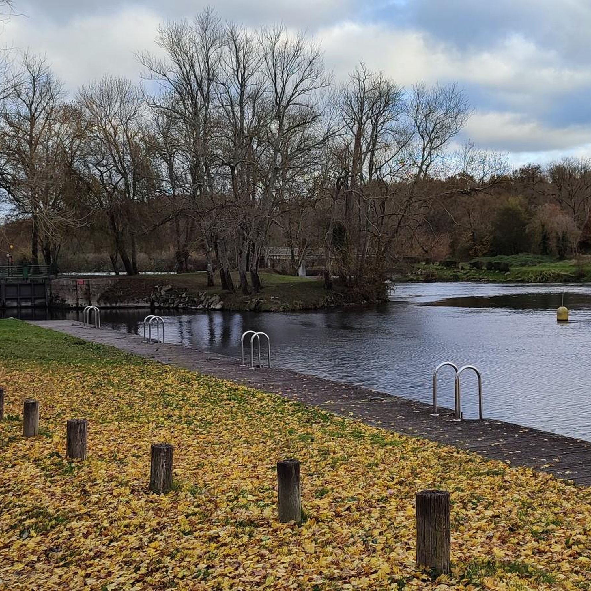
The Îles de Fleurac are located in the Charente near Linars, west of Angoulême. The small archipelago consists of four river islands, three of which are larger and connected by paths and wooden jetties. The water-rich, densely overgrown landscape is now a popular destination for walkers and anglers. Immediately near the islands are the Fleurac locks, which are part of the navigability of the Charente. On the Nersac side, there is also a former paper mill, which is reminiscent of the former industrial use of water power. Above the river valley rises the Château de Fleurac, so that nature, industry, and cultural landscape meet in a small space.
1
0

Nice as a town: rustic, calm and pleasant.
0
0

Bourge medieval style, very pretty
0
0


Beautiful little town center
0
0
Pleasant and easy trail. Ideal for families.
0
0
Beautiful view from the bridge over the Charente, the quays and the pier.
0
0
Frequently Asked Questions
What kind of hiking trails can I expect around Linars?
Linars offers a variety of trails through the gentle, pastoral landscapes of the Charente department. You'll find paths along the tranquil Charente river and the Nouère stream, with terrain that is generally flat to gently undulating, ranging from 25 to 82 meters in elevation. The area features a blend of French countryside, including vineyards, woods, and meadows, providing diverse walking experiences.
How many hiking routes are available in the Linars area?
There are over 160 hiking routes around Linars. The komoot community has mapped 86 easy routes, 81 moderate routes, and a couple of more challenging options, ensuring there's something for every ability level.
Are there any family-friendly hiking options in Linars?
Yes, many trails around Linars are described as easy and suitable for all skill levels, making them ideal for families. The relatively flat terrain and accessible paths along the river are perfect for a leisurely outing. For example, the Greenway loop from Charente is an easy 4.3-mile route that follows a greenway, offering accessible paths along the Charente.
Can I bring my dog on the hiking trails in Linars?
The trails in Linars, with their gentle landscapes and open countryside, are generally welcoming for dogs. However, it's always recommended to keep your dog on a leash, especially when passing through agricultural areas or near livestock, and to check local regulations for specific routes. The Hugo Pratt footbridge – Comic Book Museum loop from Charente offers a pleasant walk that combines natural scenery with cultural interest, suitable for a walk with your canine companion.
Are there any circular hiking routes around Linars?
Yes, Linars and its surroundings offer several circular hiking routes. These loops allow you to start and end your journey in the same location, often passing through varied scenery. A popular moderate option is the Fleurac Islands – Fléac loop from Charente, which incorporates riverine features and views along the Charente.
What natural features or landmarks can I see while hiking in Linars?
While hiking around Linars, you'll encounter the tranquil Charente river and the Nouère stream, which define the local hydrography. The landscape features vineyards, woods, and meadows. You can also explore specific points of interest such as the Bain des Dames Beach on the Charente or the Charente Riverside Path at La Meure. The Sireuil Bridge – Sireuil Bridge loop from Nersac highlights architectural elements like bridges integrated into the natural setting.
What is the best time of year to go hiking in Linars?
The gentle climate of the Charente department makes hiking enjoyable for much of the year. Spring and autumn offer pleasant temperatures and beautiful scenery with blooming flowers or vibrant fall foliage. Summer can also be lovely, especially along the shaded banks of the Charente river, though it's advisable to hike earlier in the morning or later in the afternoon to avoid the midday heat.
What do other hikers say about the trails in Linars?
The hiking routes in Linars are highly rated by the komoot community, with an average score of 4.5 stars from over 290 reviews. Hikers often praise the quiet, accessible paths, the scenic river views, and the charming French countryside. Many appreciate the variety of easy and moderate routes that cater to different preferences.
Are there any cultural attractions or historical sites accessible from the trails?
Yes, some routes blend natural scenery with cultural attractions. For instance, the Hugo Pratt footbridge – Comic Book Museum loop from Charente offers a unique combination of outdoor activity and cultural exploration. You can also find historical landmarks like the Church of Notre-Dame de Trois-Palis, which can be incorporated into a hike like the Hiking loop from Trois-Palis.
What is the typical terrain and elevation gain for hikes in Linars?
The terrain around Linars is generally flat to gently undulating, with elevations ranging from 25 to 82 meters. Most trails are accessible, passing through meadows, woods, and along riverbanks. Elevation gains are typically modest, with many routes involving up to 1,000 feet (around 300 meters) of total ascent, making them suitable for casual hikers. For example, the Fleurac Islands – Fléac loop from Charente has an elevation gain of about 302 feet (92 meters).
Most popular attractions around Linars

Get inspired with the komoot mobile app


Explore more
Browse the best Hikes in other regions.
