The best mountain hikes around Saint-Martin-Le-Vinoux
4.3
(22)
193
hikers
15
hikes
Mountaineering around Saint-Martin-Le-Vinoux offers a variety of routes within the Chartreuse Massif, characterized by steep forested slopes, limestone formations, and panoramic views of the surrounding valleys. The region provides challenging ascents and descents, often leading to elevated viewpoints. These routes navigate through diverse terrain, from dense woodlands to more exposed mountain paths.
Best mountaineering routes around Saint-Martin-Le-Vinoux
- The most popular mountaineering route is Saint-Nizier-du-Moucherotte – Saint-Nizier-du-Moucherotte loop from Saint-Nizier-du-Moucherotte, a 5.5 miles (8.9 km) trail that takes 4 hours…
Last updated: October 18, 2026
5.0
(5)
26
hikers
8.90km
04:06
700m
700m
Hard mountaineering route. Good fitness required. Sure-footedness, sturdy shoes and alpine experience required.
4.0
(2)
18
hikers
12.5km
07:01
1,020m
1,020m
Hard mountaineering route. Very good fitness required. Sure-footedness, sturdy shoes and alpine experience required.

18
hikers
3.74km
02:29
410m
410m
Hard mountaineering route. Good fitness required. Sure-footedness, sturdy shoes and alpine experience required.
5.0
(1)
14
hikers
11.6km
03:56
510m
510m
Moderate mountaineering route. Good fitness required. Mostly accessible paths. Sure-footedness required.
5.0
(2)
14
hikers
13.7km
04:54
610m
610m
Moderate mountaineering route. Good fitness required. Mostly accessible paths. Sure-footedness required.
Get access to more routes and recommendations from other explorers.
Already have an account?
Our route recommendations are based on thousands of hikes, rides, and runs completed by other people on komoot.
Start today with a free account
Your next adventure awaits.
Popular around Saint-Martin-Le-Vinoux
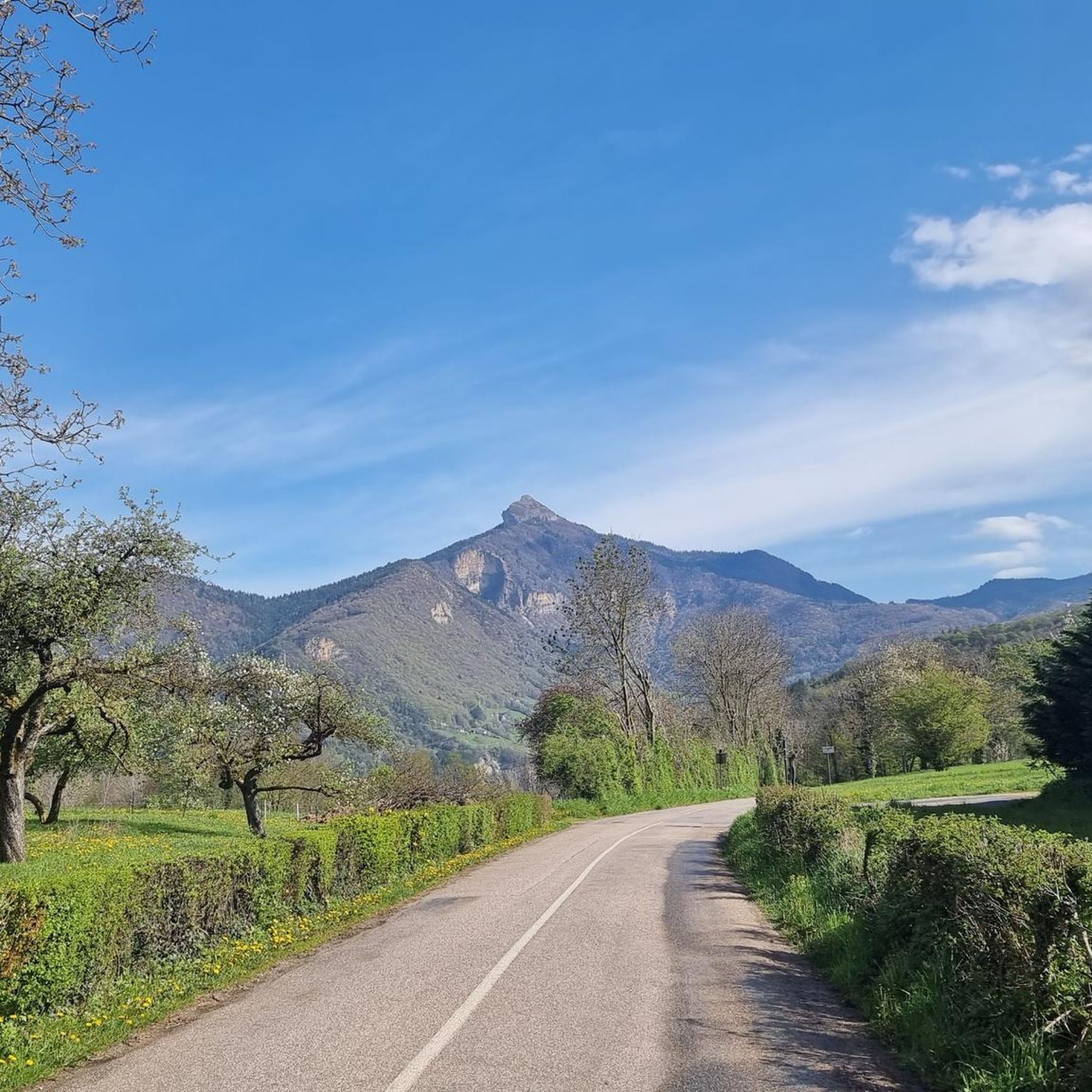

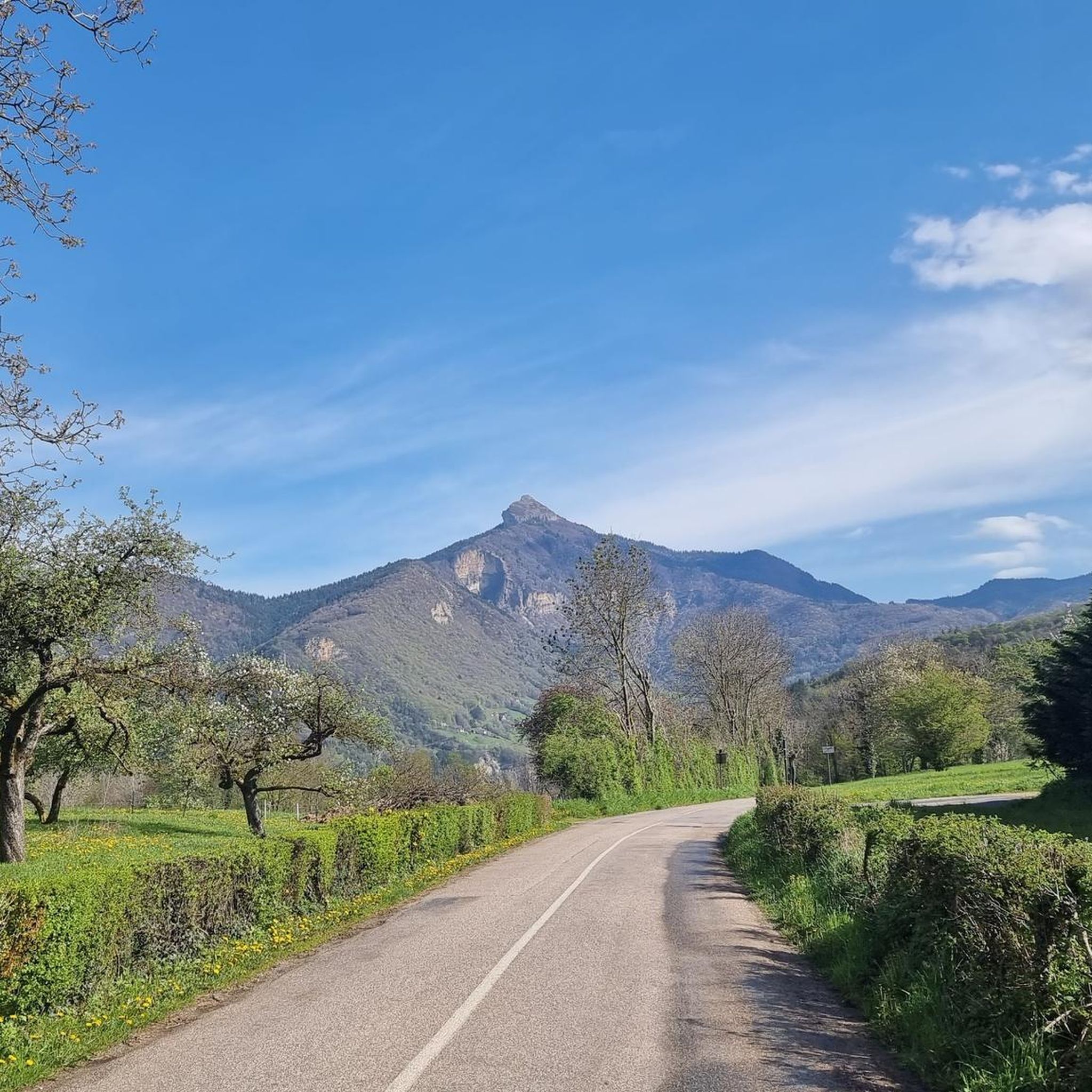
Other adventures around Saint-Martin-Le-Vinoux

Tips from the Community

A bit of gas and a beautiful view of the city
0
0

The climb to the charming Som from the Col de Porte is always a treat. There are some very steep sections, but the view at the top is worth it. Be careful on the descent: uneven road, tight bends, cars.
0
0

Highest summer cheese dairy, perched in the middle of the Charmant Som mountain pasture. Well, okay, it's not really the season...
0
0

Dominating the valley, the Orgeval oratory offers a magnificent view. When the weather permits, the Mont-Blanc massif can be seen in the distance.
1
0

This beautiful single track joins the crests of Montfromage. The forest is dense but allows a glimpse of the surrounding landscapes and, in the distance, the Rochers de Chalves.
0
0

Charmant Som (1867 m) is one of the 3 dominant peaks of St Pierre de Chartreuse, and the most accessible by bike from the Col de Porte. Upstairs you will enjoy a beautiful panorama. The Charmant Som, in addition to being the most easily accessible summit, is the last mountain pasture in Isère that makes and sells its cheese on site. The ascent to the Chalet de Charmant Som from Col-de-Porte is a climb in the Grenoble region. It has a length of 5.5 kilometers and an ascent of 364 vertical meters with a slope of 6.7% on average, which implies a difficulty level of 336. The summit of the ascent is located at 1671 meters above sea level.
0
0
Culminating at 1,867 meters, the Charmant Som is an emblematic summit of the Chartreuse massif. From the inn of the same name, accessible by car, the ascent is made without major difficulty. At the top, the panorama is spectacular!
1
0
Frequently Asked Questions
How many mountaineering routes are available around Saint-Martin-Le-Vinoux?
There are 17 mountaineering routes around Saint-Martin-Le-Vinoux. These include 5 moderate routes and 12 more challenging, difficult routes, offering a range of options within the Chartreuse Massif.
What kind of terrain can I expect on mountaineering routes in this region?
Mountaineering around Saint-Martin-Le-Vinoux typically involves steep forested slopes, distinctive limestone formations, and paths that lead to panoramic viewpoints. You'll navigate through diverse terrain, from dense woodlands to more exposed mountain sections, often with significant elevation changes.
Are there any circular mountaineering routes?
Yes, many routes in the area are circular. For example, the Oratoire d'Orgeval – Col de la Chavanette Signpost loop from Chamechaude is a moderate 11.6 km loop, and the Piénom (1615 m) – Charmant Som summit loop from Chamechaude offers a longer, moderate 13.8 km challenge.
What is the best time of year for mountaineering in Saint-Martin-Le-Vinoux?
The best time for mountaineering in the Chartreuse Massif, including Saint-Martin-Le-Vinoux, is generally from late spring through early autumn (May to October). During these months, trails are typically free of snow at lower to mid-altitudes, and weather conditions are more stable. Always check local weather and trail conditions before heading out, especially in shoulder seasons.
Are there any beginner-friendly mountaineering routes?
While mountaineering routes are generally more demanding, there are moderate options that can be suitable for beginners with good fitness. The region offers 5 moderate routes. For instance, the Oratoire d'Orgeval – Col de la Chavanette Signpost loop from Chamechaude is a moderate route that provides a good introduction to the area's terrain.
What challenging routes are available for experienced mountaineers?
Experienced mountaineers will find 12 difficult routes in the area. A notable challenging option is the Le Néron loop from Saint-Martin-le-Vinoux, a difficult 12.5 km path with over 1000 meters of elevation gain, offering sustained climbing and expansive views.
What interesting landmarks or natural features can I see along the routes?
The routes often pass by significant natural and historical landmarks. You might encounter the impressive The Moucherotte Summit, the scenic Col de Porte (1326 m), or the historic Fort of Saint-Eynard. The La Molière Alpine Pasture and Panoramic View also offers stunning vistas.
Are there any waterfalls or gorges to explore?
Yes, the region features several impressive natural water features. You can discover the dramatic Eagle's Beak, the Coup de Sabre Gorge, and a beautiful Waterfall and Rocky Stream in Parc Naturel Régional du Vercors.
What do other mountaineers say about the routes in Saint-Martin-Le-Vinoux?
The mountaineering routes around Saint-Martin-Le-Vinoux are highly regarded by the komoot community, with an average rating of 4.7 stars from 17 reviews. Users frequently praise the diverse terrain, challenging ascents, and the rewarding panoramic views of the surrounding valleys.
Is parking available near the trailheads?
While specific parking details vary by trailhead, many popular starting points for mountaineering routes in the Chartreuse Massif, including those accessible from Saint-Martin-Le-Vinoux, offer designated parking areas. It's advisable to check the individual route descriptions on komoot for precise parking information before your trip.
Can I access these mountaineering routes using public transport?
Access to some trailheads in the Chartreuse Massif is possible via public transport, particularly buses connecting from Grenoble to villages like Le Sappey-en-Chartreuse or Saint-Nizier-du-Moucherotte. However, direct access to all starting points may be limited, and planning your journey in advance is recommended. Check local bus schedules for the most up-to-date information.
Are there any shorter mountaineering routes for a quicker outing?
For a shorter mountaineering experience, consider the L'Écoutoux loop from Le Sappey-en-Chartreuse. This difficult 3.7 km trail leads through forested slopes and can typically be completed in about 2 hours 28 minutes, offering a condensed but challenging outing.
Most popular routes around Saint-Martin-Le-Vinoux
Most popular attractions around Saint-Martin-Le-Vinoux

Get inspired with the komoot mobile app


Explore more
Browse the best Mountain Hikes & Routes in other regions.
