The best running trails around Saint-Égrève
4.3
(15)
751
runners
23
runs
Jogging routes around Saint-Égrève are set within a diverse landscape at the foot of the Néron mountain, offering views of the Chartreuse massif and Vercors Plateau. The region features varied terrain, from flat riverside paths along the Isère River to more challenging ascents within the Chartreuse Regional Nature Park. Green spaces like Parc de Fiancey and Parc de Rochepleine provide additional environments for running. The impetuous Vence river also traverses the town, contributing to its natural heritage.
Best jogging routes around Saint-Égrève
- The most popular jogging route is Lac de Fiancey loop from Saint-Égrève, a 6.2 miles (10.0 km) trail that takes 1 hour 5 minutes to complete. This moderate route offers a mostly paved path around the lake.
- Another top favourite among local runners is Narbonne Castle – Path to Col de Clémencière loop from Saint-Égrève, a difficult 8.1 miles (13.1 km) path. This route features significant elevation gain and varied terrain, leading towards mountain viewpoints.
- Local runners also love the Lac de Fiancey loop from Visancourt, a 3.4 miles (5.4 km) trail leading through the recreational area around Lac de Fiancey, often completed in about 35 minutes.
- Jogging around Saint-Égrève is defined by mountainous surroundings, riverside paths along the Isère River, and the preserved environments of the Chartreuse Regional Nature Park. The network offers options for different ability levels.
- The routes in Saint-Égrève are highly rated by the komoot community with an average score of 4.4 stars from over 10 reviews. More than 500 runners have used komoot to explore Saint-Égrève's varied terrain.
Last updated: August 20, 2026
4.1
(7)
225
runners
18.0km
02:20
620m
620m
Hard run. Very good fitness required. Sure-footedness, sturdy shoes and alpine experience required.
4.7
(3)
105
runners
11.8km
01:17
130m
130m
Moderate run. Good fitness required. Mostly paved surfaces. Suitable for all skill levels.

Sign up for free
4.0
(1)
60
runners
9.24km
00:58
70m
70m
Moderate run. Good fitness required. Mostly paved surfaces. Suitable for all skill levels.
3.0
(1)
53
runners
34.0km
05:46
1,960m
1,960m
Hard run. Very good fitness required. Sure-footedness, sturdy shoes and alpine experience required.
5.0
(1)
65
runners
8.42km
01:12
330m
330m
Hard run. Very good fitness required. Sure-footedness, sturdy shoes and alpine experience required.
Get access to more routes and recommendations from other explorers.
Sign up for free
Already have an account?
Our route recommendations are based on thousands of hikes, rides, and runs completed by other people on komoot.
Start today with a free account
Your next adventure awaits.
Login or Signup
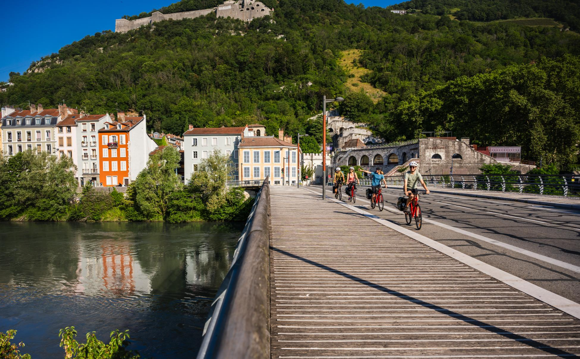
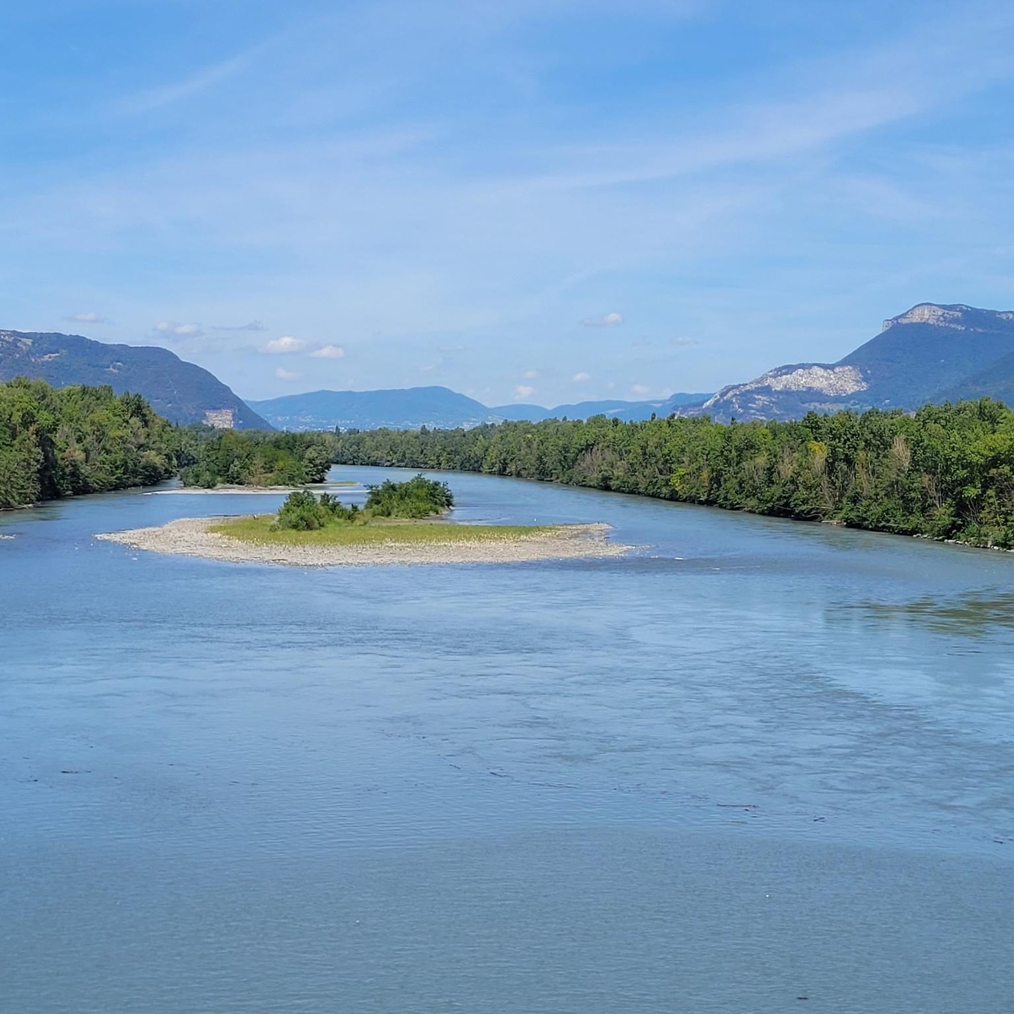
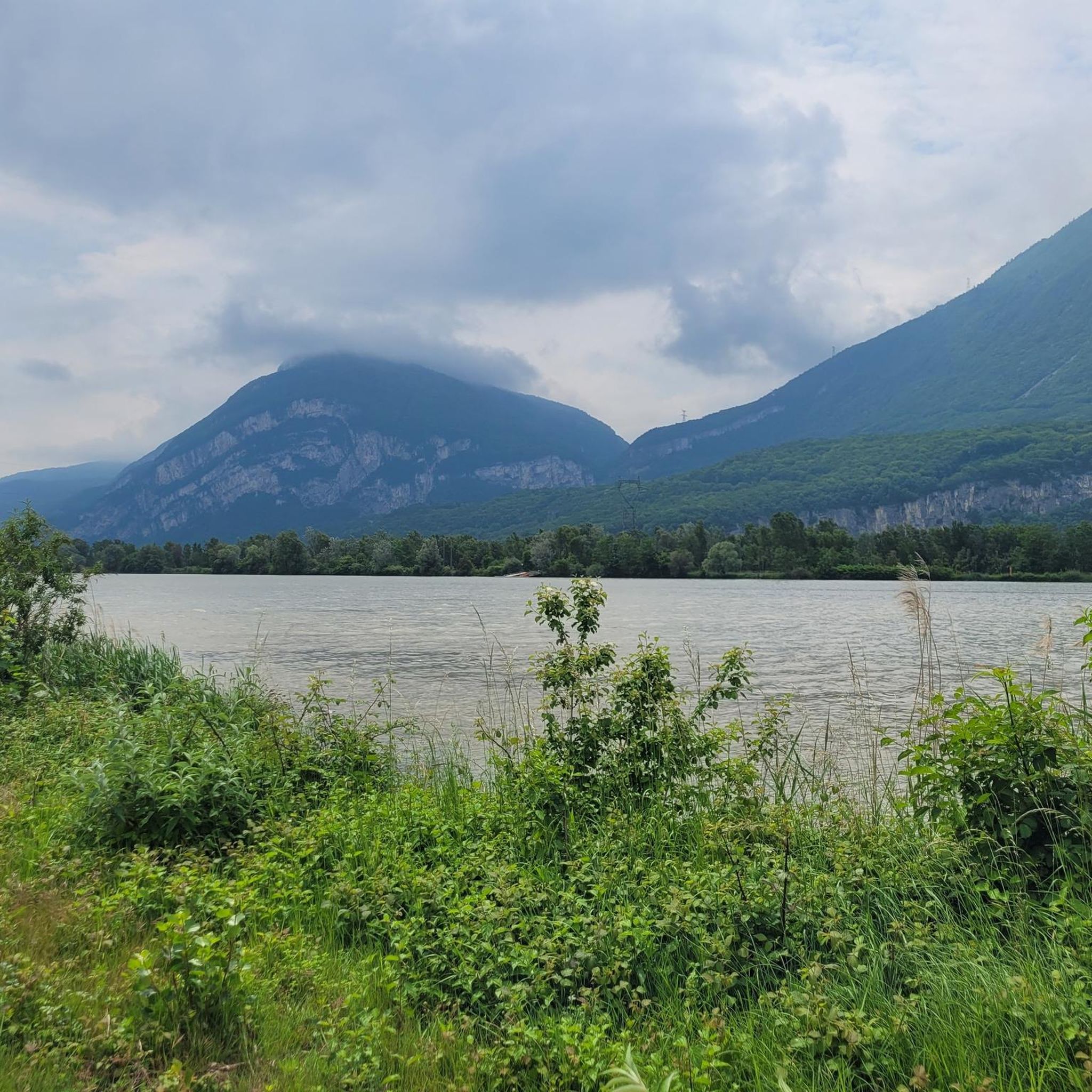


Other adventures around Saint-Égrève

Tips from the Community

Rolling and pleasant trail
0
0

Stop by here during Infernet 2025. Nice atmosphere!
0
0

The approach from the south is very nice, the descent to the north via the forest road is not allowed, but with great caution and pushing in tunnels possible
0
0

Work is underway on the bridge. Car traffic is prohibited until September 22, 2025. Bicycles may pass 😁
0
0

Footbridge and cycle path, very practical connection between the peninsula and the right bank of the Isère.
0
0

Located above the Bannettes alpine pasture at 1,752 meters, the ol d'Hurtières offers multiple panoramas of the Chartreuse and Belledonne massifs, and the eastern slope of the Vercors.
0
0
Located above the Bannettes alpine pasture at 1,752 meters, the Col d'Hurtières offers multiple panoramas of the Chartreuse and Belledonne massifs, and the eastern slope of the Vercors.
1
0
The Col de la Charmette is hidden in the middle of the Chartreuse at the end of a dead-end road at an altitude of 1,261 meters. Located in the middle of the forest, it is a starting point for many hiking trails.
1
0
Frequently Asked Questions
How many running routes are available in Saint-Égrève?
There are 19 dedicated running routes around Saint-Égrève on komoot, offering a variety of experiences for all fitness levels.
What kind of terrain can I expect on running trails in Saint-Égrève?
Running routes in Saint-Égrève offer a diverse range of terrain. You can find flat, mostly paved paths along the Isère River and around Lac de Fiancey, as well as more challenging ascents and varied surfaces within the Chartreuse Regional Nature Park and towards the mountainous surroundings like the Néron mountain.
Are there any easy or beginner-friendly jogging routes in Saint-Égrève?
Yes, Saint-Égrève offers several easy routes suitable for beginners. For instance, the Lac de Fiancey loop from Visancourt is an easy 3.0-mile trail that takes about 30 minutes to complete, leading through the recreational area around the lake.
Where can I find more challenging running routes in the area?
For those seeking a more demanding run, the Narbonne Castle – Path to Col de Clémencière loop from Saint-Égrève is a difficult 8.1-mile path featuring significant elevation gain and varied terrain, leading towards mountain viewpoints. The town also has a dedicated 'advanced runner' route covering 9.5 km with a 230m ascent.
Are there any circular running routes in Saint-Égrève?
Yes, many of the running routes in Saint-Égrève are circular. Popular options include the Lac de Fiancey loop from Saint-Égrève, which is a moderate 6.2-mile trail, and the more challenging Narbonne Castle – Path to Col de Clémencière loop.
What natural features or landmarks can I see while running in Saint-Égrève?
Runners in Saint-Égrève can enjoy stunning views of the Chartreuse massif and Vercors Plateau, as well as the Isère River. The area is also home to the Rocheplaine Cliff and is part of the Chartreuse Regional Nature Park. You might also encounter historical sites like the Fort of Saint-Eynard or the Sassenage Castle, which are nearby attractions.
Are there any family-friendly running options in Saint-Égrève?
Yes, the recreational areas and parks in Saint-Égrève offer family-friendly options. The loops around Lac de Fiancey, such as the Lac de Fiancey loop from Visancourt, are generally easy and mostly paved, making them suitable for families to enjoy together.
What do other runners enjoy most about jogging in Saint-Égrève?
The running routes in Saint-Égrève are highly rated by the komoot community, with an average score of 4.4 stars from more than 10 reviews. Runners often praise the diverse landscapes, from serene riverside paths to challenging mountain backdrops, and the well-maintained dedicated sports trails.
Are there any specific marked running trails within Saint-Égrève itself?
Yes, Saint-Égrève has specifically mapped and marked sporting routes within the town. These trails are designed for both walkers and runners, allowing you to discover the town's historical, urban, and natural facets. There are two levels of difficulty: a 'regular runner' route spanning 8.2 km with a 130m gradient, and an 'advanced runner' route covering 9.5 km with a 230m ascent.
Can I find running routes with amenities like cafes or rest stops?
While specific cafes directly on all routes are not detailed, the presence of recreational areas like Parc de Fiancey and the town's general amenities suggest that you can find places for refreshments. Many routes start or pass through areas where cafes or shops are accessible, especially in the town center or near popular parks.
Is Saint-Égrève a good place for trail running?
Absolutely. Being nestled at the foot of the Néron mountain and part of the Chartreuse Regional Nature Park, Saint-Égrève offers excellent opportunities for trail running. The mountainous surroundings provide varying terrains, from gentle slopes to more challenging ascents, perfect for trail running enthusiasts.
What is the best time of year for running in Saint-Égrève?
Saint-Égrève's diverse landscape makes it suitable for running throughout much of the year. Spring and autumn offer pleasant temperatures and beautiful scenery. Summer is also good, especially for higher altitude trails, while winter can provide unique experiences, though some higher or more exposed routes might require appropriate gear or be less accessible due to snow or ice.
Most popular routes around Saint-Égrève
Most popular attractions around Saint-Égrève

Get inspired with the komoot mobile app


Explore more
Browse the best Running Trails & Routes in other regions.
